Mifflin is a borough in Juniata County, Pennsylvania, United States. The population was 534 at the 2020 census.
| Name: | Mifflin borough |
|---|---|
| LSAD Code: | 21 |
| LSAD Description: | borough (suffix) |
| State: | Pennsylvania |
| County: | Juniata County |
| Incorporated: | 1853 |
| Total Area: | 0.17 sq mi (0.45 km²) |
| Land Area: | 0.17 sq mi (0.45 km²) |
| Water Area: | 0.00 sq mi (0.00 km²) |
| Total Population: | 530 |
| Population Density: | 3,045.98/sq mi (1,174.45/km²) |
| Area code: | 717 |
| FIPS code: | 4249272 |
Online Interactive Map
Click on ![]() to view map in "full screen" mode.
to view map in "full screen" mode.
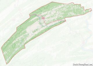
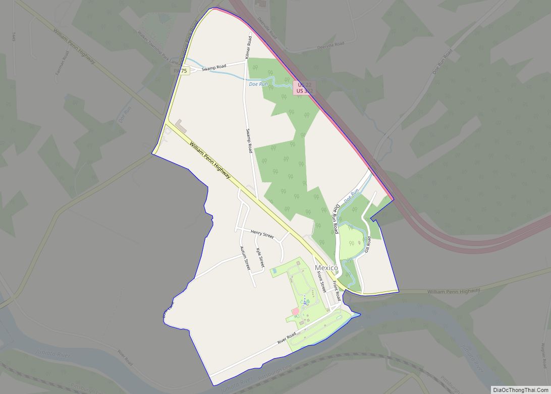
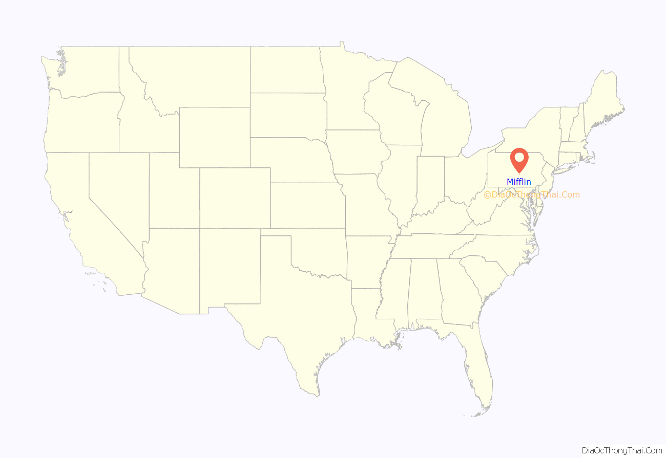
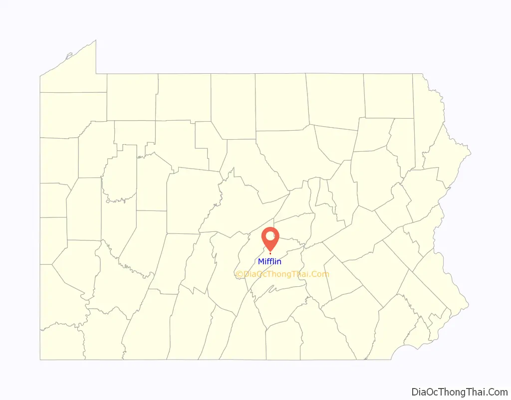
Mifflin location map. Where is Mifflin borough?
History
Mifflin was founded as the town of Patterson. At one time, Mifflin, as well as the small community of Denholm lying directly north of the town, was an important stop along the Pennsylvania Railroad. The railroad tracks still pass through the town, but they are now owned by the Norfolk Southern Railway.
The Pennsylvania Railroad depot still stands in Mifflin, although it has long been abandoned. Mifflin is named after Thomas Mifflin, the first Governor of Pennsylvania.
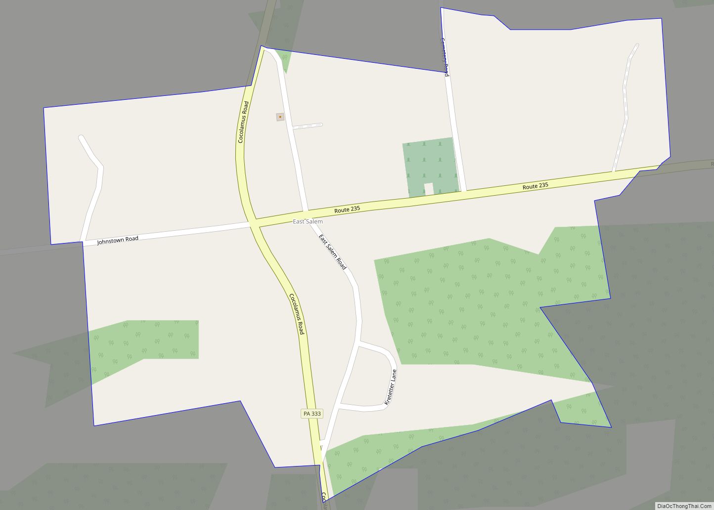
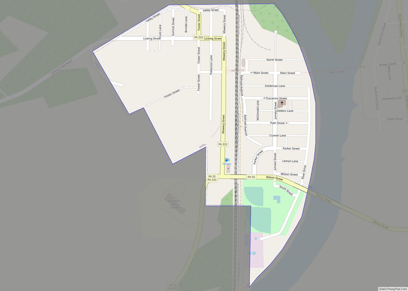
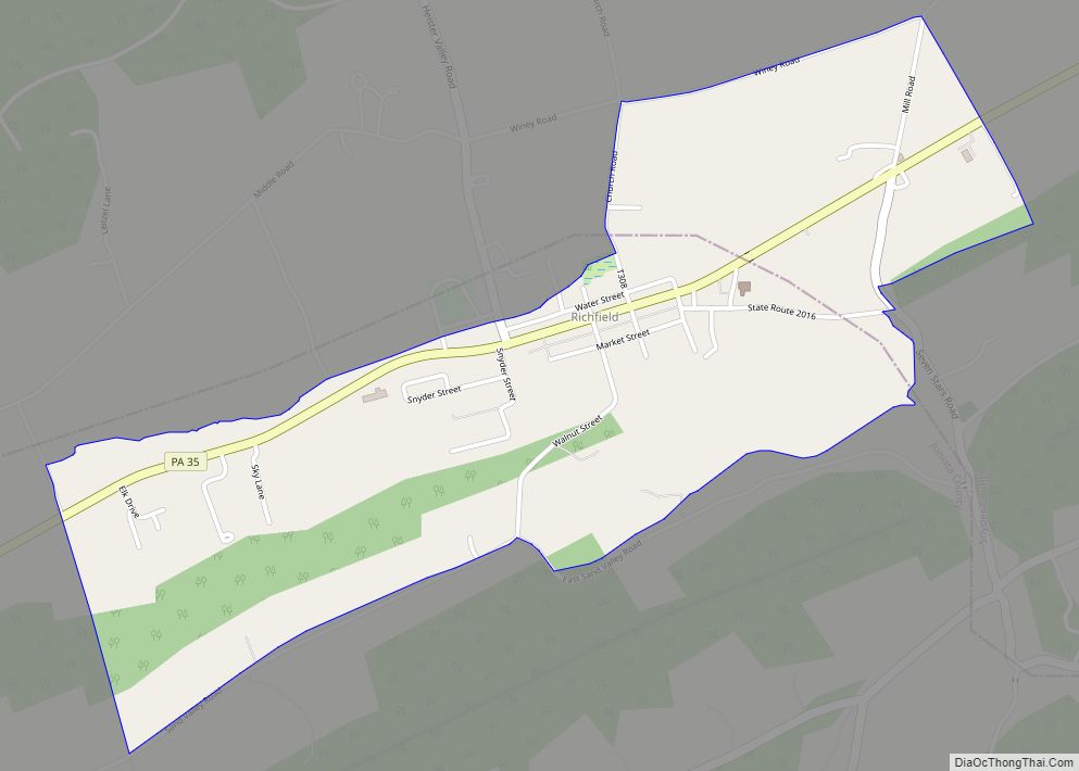
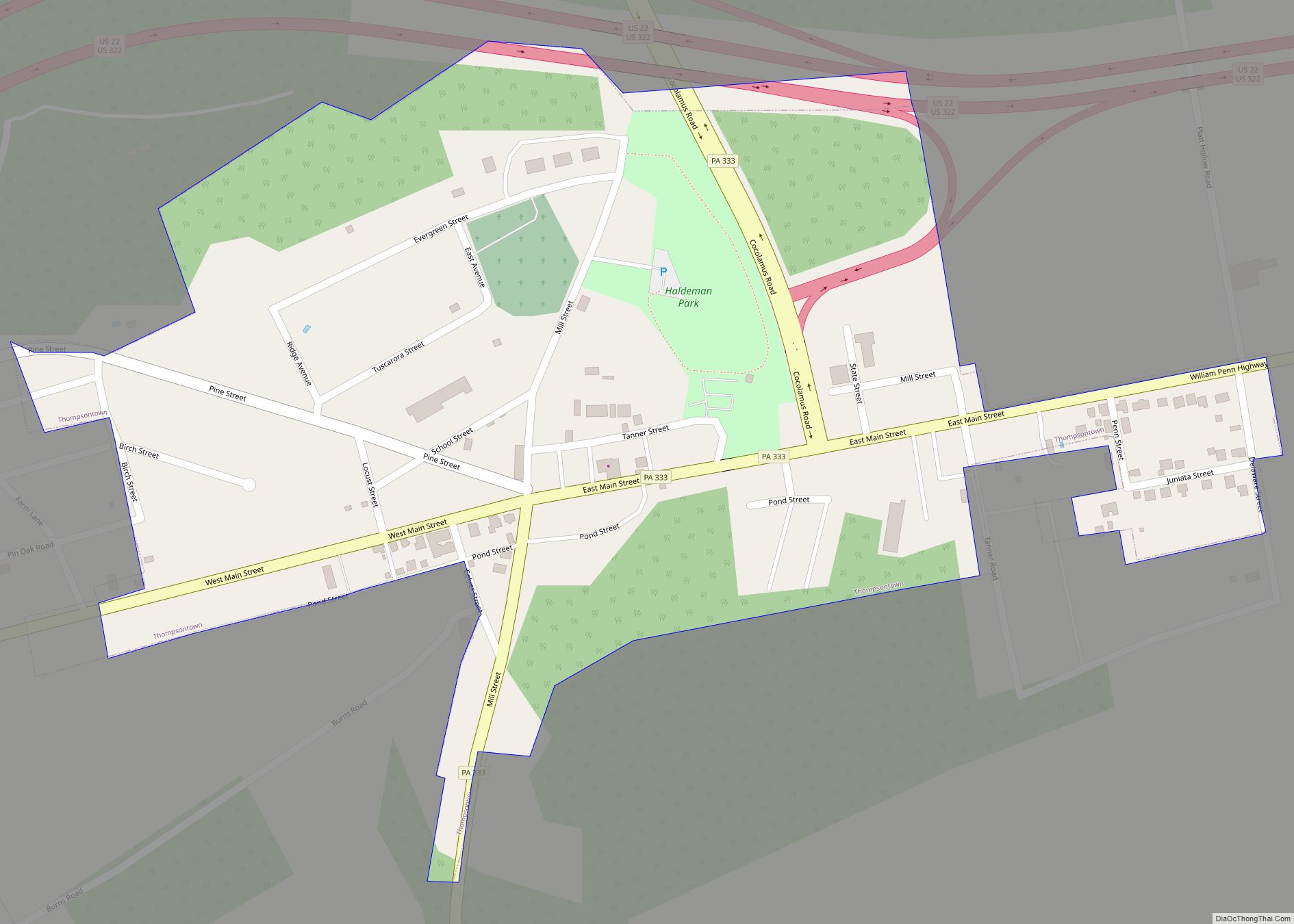
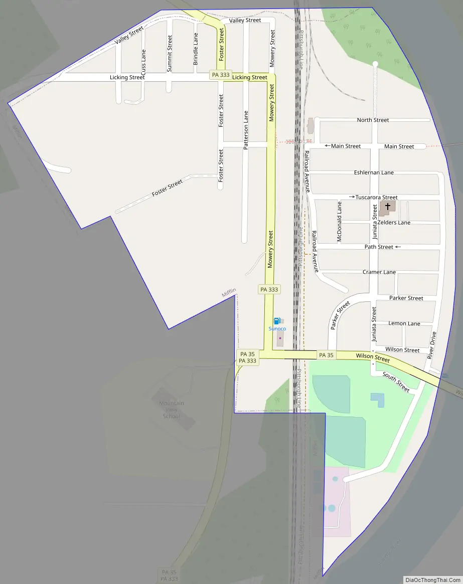
Mifflin Road Map
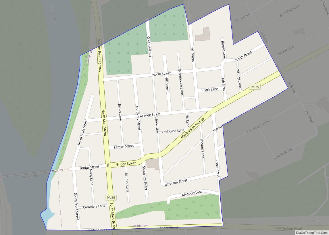
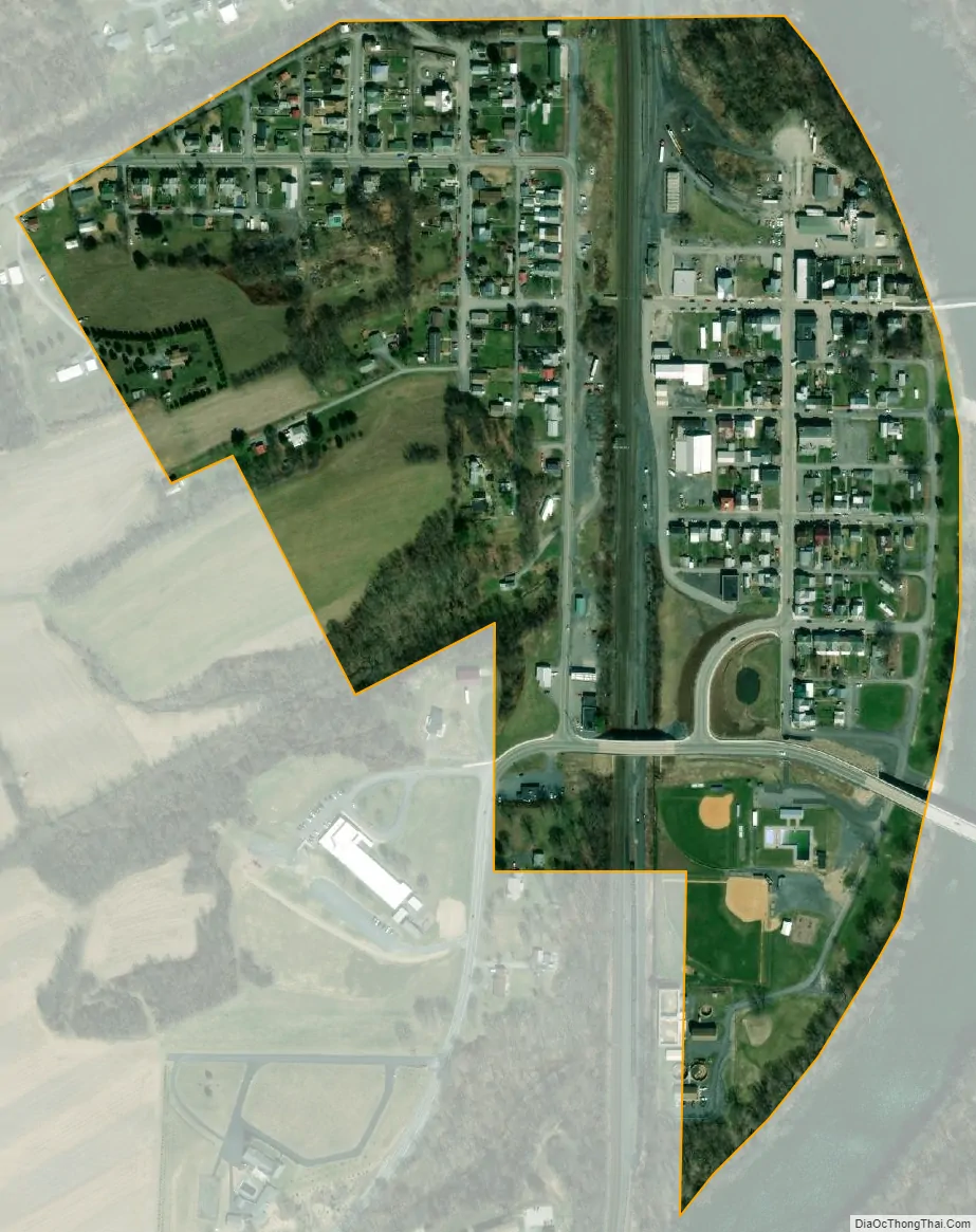
Mifflin city Satellite Map
Geography
Mifflin is located at 40°34′6″N 77°24′13″W / 40.56833°N 77.40361°W / 40.56833; -77.40361 (40.568262, -77.403496).
According to the United States Census Bureau, the borough has a total area of 0.2 square miles (0.52 km), all land.
See also
Map of Pennsylvania State and its subdivision:- Adams
- Allegheny
- Armstrong
- Beaver
- Bedford
- Berks
- Blair
- Bradford
- Bucks
- Butler
- Cambria
- Cameron
- Carbon
- Centre
- Chester
- Clarion
- Clearfield
- Clinton
- Columbia
- Crawford
- Cumberland
- Dauphin
- Delaware
- Elk
- Erie
- Fayette
- Forest
- Franklin
- Fulton
- Greene
- Huntingdon
- Indiana
- Jefferson
- Juniata
- Lackawanna
- Lancaster
- Lawrence
- Lebanon
- Lehigh
- Luzerne
- Lycoming
- Mc Kean
- Mercer
- Mifflin
- Monroe
- Montgomery
- Montour
- Northampton
- Northumberland
- Perry
- Philadelphia
- Pike
- Potter
- Schuylkill
- Snyder
- Somerset
- Sullivan
- Susquehanna
- Tioga
- Union
- Venango
- Warren
- Washington
- Wayne
- Westmoreland
- Wyoming
- York
- Alabama
- Alaska
- Arizona
- Arkansas
- California
- Colorado
- Connecticut
- Delaware
- District of Columbia
- Florida
- Georgia
- Hawaii
- Idaho
- Illinois
- Indiana
- Iowa
- Kansas
- Kentucky
- Louisiana
- Maine
- Maryland
- Massachusetts
- Michigan
- Minnesota
- Mississippi
- Missouri
- Montana
- Nebraska
- Nevada
- New Hampshire
- New Jersey
- New Mexico
- New York
- North Carolina
- North Dakota
- Ohio
- Oklahoma
- Oregon
- Pennsylvania
- Rhode Island
- South Carolina
- South Dakota
- Tennessee
- Texas
- Utah
- Vermont
- Virginia
- Washington
- West Virginia
- Wisconsin
- Wyoming