Perry County is a county located in the southeastern portion of the U.S. state of Missouri. As of the 2020 census, the population was 18,956. Its county seat is Perryville. The county was officially organized on November 16, 1820 (effective January 1, 1821) from Ste. Genevieve County and was named after Oliver Hazard Perry, a naval hero of the War of 1812.
| Name: | Perry County |
|---|---|
| FIPS code: | 29-157 |
| State: | Missouri |
| Founded: | November 16, 1820 |
| Named for: | Oliver Hazard Perry |
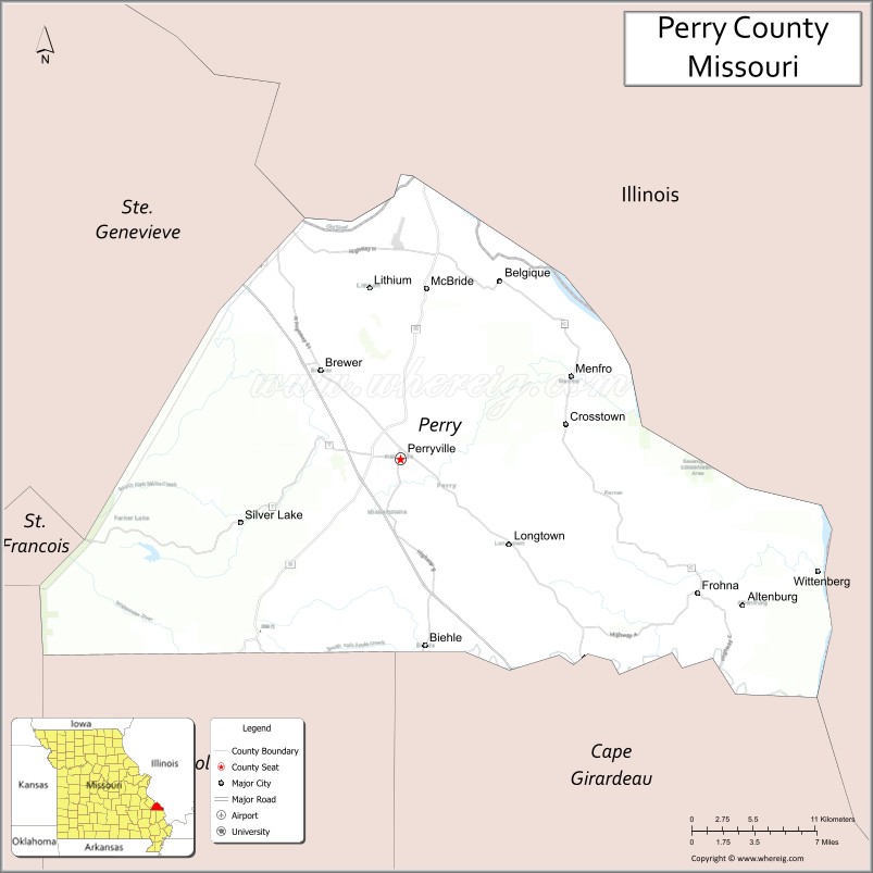
| Seat: | Perryville |
| Largest city: | Perryville |
| Total Area: | 484 sq mi (1,250 km²) |
| Land Area: | 474 sq mi (1,230 km²) |
| Total Population: | 18,956 |
| Population Density: | 39/sq mi (15/km²) |
| Time zone: | UTC−6 (Central) |
| Summer Time Zone (DST): | UTC−5 (CDT) |
| Website: | perrycountymo.us |
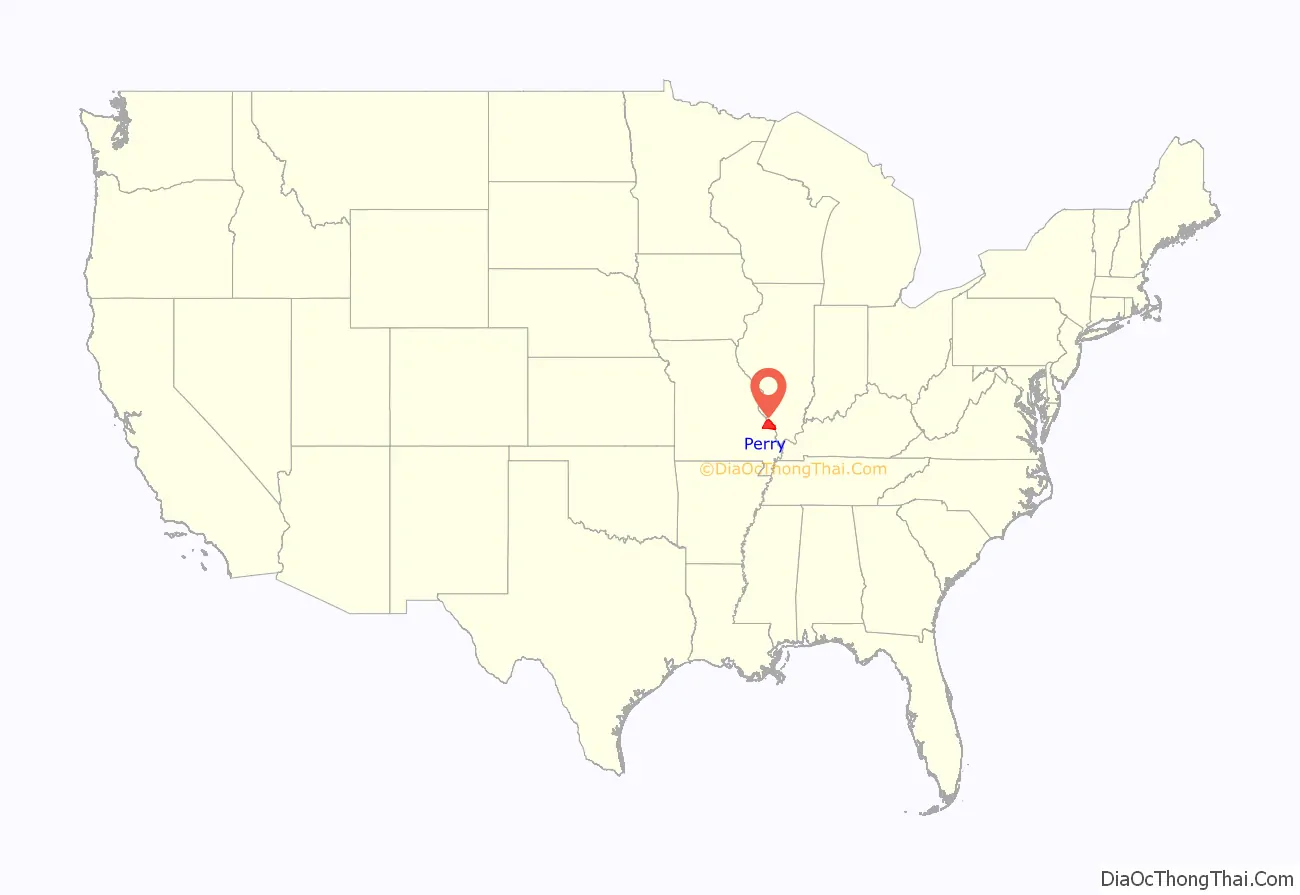
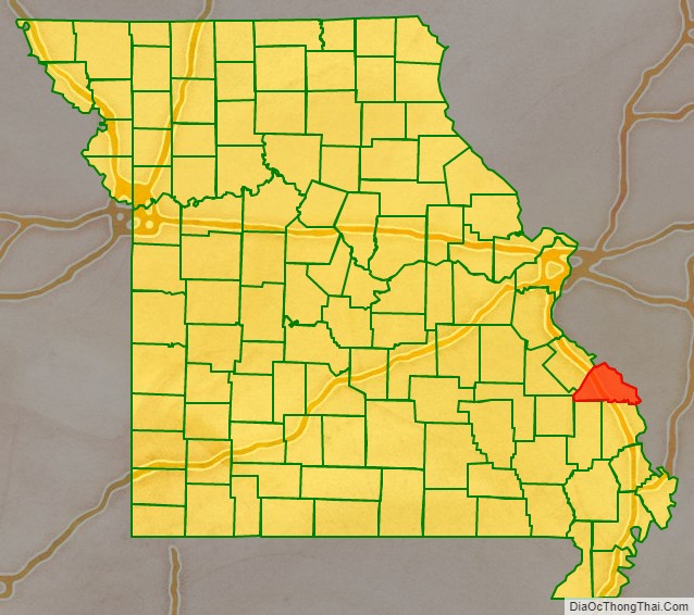
Perry County location map. Where is Perry County?
History
Early Native Americans
The first inhabitants of what is now Perry County were Mississippian Mound Builders who cultivated corn and constructed earthen mounds. The Mississippian cultures inhabited the region until their decline in the 12th and 13th centuries. Remnants of their earthen mounds can be found in the eastern part of the county. By the time of European contact, the area was populated by Native Americans of the Illinois Confederation who inhabited much of eastern Missouri.
French and Spanish rule
During the 18th Century, the Perry County area, like the rest of the future State of Missouri, was part of French Louisiana, also known as the Illinois Country. For most of the 18th Century the area of present-day Perry County was left largely uninhabited, even by the French of nearby Ste. Genevieve. The latter was the first permanent White settlement in the Missouri area. In 1764, when the terms of the 1763 Treaty of Paris were announced in Louisiana, the French settlers found themselves transferred to an alien domination, that of Spain. In general the French were unhappy with the change of rule and the Spanish governance of the territory was an uneasy one, occasionally punctuated by armed rebellion. In the Ste. Genevieve area, the Spaniards, making a virtue of necessity, tended to let the French govern themselves. During the 1770s and 1780s members of the Peoria Tribe, whose situation had deteriorated under British and American rule in Illinois, migrated west across the Mississippi River into Ste. Genevieve and the lower part of the Bois Brule Bottoms.
The French population suffered continued harassment by the Osage to the southwest. In the 1790s, Louis Lorimier, authorized by Spanish officials, invited the Shawnee and Delaware tribes in Ohio to immigrate and settle along Apple Creek in Perry County in the hope that they would act as a buffer between the French to the north and the Osage to the south. Their largest village, Le Grand Village Sauvage – with a population of some 400, was located in the southern part of the county, just above Apple Creek, near present-day Old Appleton. Within a decade of the Native American immigration, Spanish authorities showed an interest in opening the area to colonization by Americans. The first French settlers were Jean Baptiste Barsaloux and his father Girard Barsaloux who lived in the Bois Brule Bottom in 1787.
American settlement
The first American settlers to Perry County arrived during the latter half of the 1790s and claimed rich land in Bois Brule Bottom. These Americans organized the region’s original Baptist Church in 1807. In the early 19th century, a second group of American settlers crossed the Mississippi River to take advantage of Spanish land offers. These were Roman Catholics of English stock from north-central Kentucky. They had originally come from Maryland to escape religious discrimination and prided themselves on being descendants of Lord Baltimore’s original colonists. The first of these to settle permanently in the future Perry County was Isidore Moore. He arrived in 1801 and became a patriarch of the area, and founded Tucker’s Settlement. Others soon followed whose family names predominated the decades: Tucker, Fenwick, Cissell, Hayton, Riney, Hamilton, Layton, Manning, and Hagan. Most of these settled in the uplands around Perryville in a place called the Barrens because of its open land. Another Maryland Catholic, Joseph Fenwick, established the short-lived Fenwick Settlement at the mouth of Brazeau Creek in the Brazeau Bottoms.
When the region was transferred to American sovereignty in 1803–1804, the Barrens became part of the Louisiana Territory. Prior to the admission of Missouri to statehood in 1821, several new migrations altered the religious composition of the future county. In 1817, a large group of Presbyterians from North Carolina settled in the neighborhood of Brazeau, an area roughly bounded by the Mississippi River and the Cinque Hommes Creek and Apple Creek. These settlers organized a church in 1819. They were soon followed by Methodists from the same state whose family names live on, like Abernathy, Farrar, and Rutledge. In 1826, they built their first log meeting house, which was later replaced by York Chapel.
Until 1821, the Barrens region formed the southern portion of Ste. Genevieve County. When Missouri was granted statehood, Perry County was organized out of the parent district. It was divided into three townships: Brazeau, Cinque Hommes, and Bois Brule. Their boundaries, following natural geographical features, were quite irregular. In 1856, the borders were made symmetrical and two new townships, St. Mary’s and Saline, were added.
After 1821, the descendants of French colonial families from Ste. Genevieve trickled into Perry County, and in the middle of the next decade, their ranks swelled by immigrants from France itself. They settled on the lands that were near the present city of Perryville. At about the same time, a small group of Flemings settled in the northeastern part of the county, with the present town of Belgique as their center. There were also Swiss in the same area.
German immigration
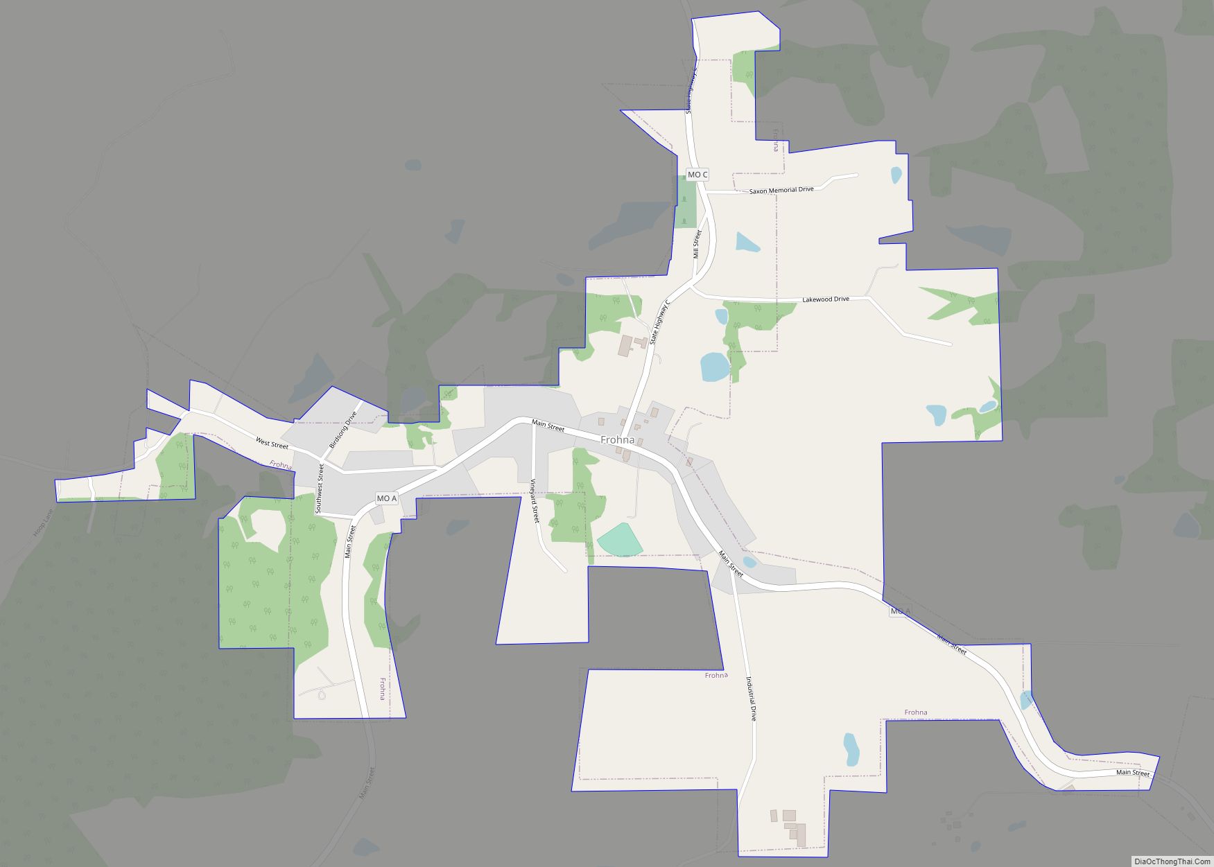
The late 1830s saw the beginnings of a heavy German immigration that would permanently alter the ethnic balance of the county. In the fall of 1838, more than 600 Saxon Lutherans, under the leadership of Pastor Martin Stephan, uprooted themselves and migrated to Missouri in what is called The Saxon Lutheran Migration, seeking to avoid the enforced religious conformity brought about by the Prussian Union of churches. They settled in the southeastern corner of the county and moved inland through a series of towns whose names enshrined both religion and nationality: Wittenberg, Friedheim, Frohna, Dresden, Altenburg, and Paitzdorf, which was renamed Uniontown during the American Civil War. Much of the legacy of the German immigration lives on today through the Lutheran Church–Missouri Synod. A distinct Saxon dialect of German continues to be spoken by about 250 residents (in 2014), although that number is declining with the youngest speakers being over 50 years old.
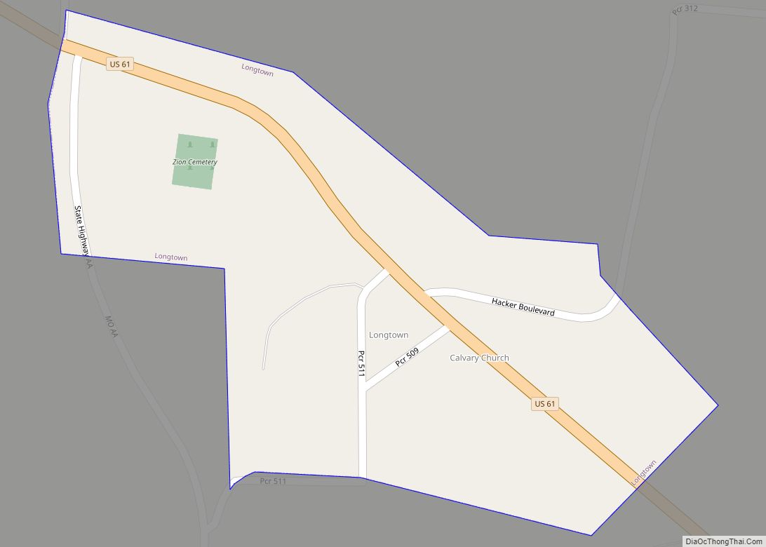
Others who settled in the area were German Catholics, mostly from Bavaria and Baden. They settled in the Barrens area. The Lutherans and Presbyterians established churches in the region bounded by the 1856 Township of Brazeau. The Methodists located farther west in the area that comprised the 1856 township of Cinque Hommes. There they set up two churches, the first York Chapel, near present-day Longtown, about 5 miles (8 km) southeast of Perryville, and in 1836 a second in Perryville itself. Then in 1844–1845, they divided between north and south over the question of whether a bishop could own slaves. The two Methodist churches in Perry County parted company, the city congregation going with the North and the York Chapel siding with the South. The Baptists of the county tended to congregate in both Bois Brule Bottom and in the area of Saline Township. In the first decades of the 19th century, they met in private homes.
While it is one of the oldest communities in Missouri, Perry County also founded the first college west of the Mississippi River, dating to 1827.
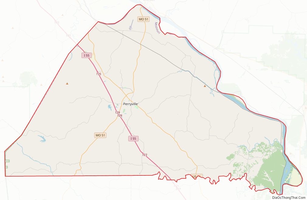
Perry County Road Map
Geography
Shaped like a camel’s hump, Perry County consists of 471 square miles (1,200 km) that fit neatly into a wedge created by the confluence of Apple Creek and the Mississippi River. Topographically, it is divided into lowlands and uplands. The lowlands comprise about one-eighth of the county and lie for the most part along the river. In the northeastern corner is the Bois Brule Bottom, meaning Burnt Wood, the most extensive tract of lowland, approximately 15 miles (24 km) long and up to 5 miles (8 km) wide. Its rich soil, coupled with its size, makes it the most productive farmland in the county. Smaller in size but still important is the Brazeau Bottom on the Mississippi River below Cape Cinque Hommes and the bottom situated near the mouth of Apple Creek.
The Uplands constitutes the largest part of the county and its topography varies greatly. The best parts of it are in the central area where the soil is generally good and the terrain nearly level or gently rolling. Rolling uplands surround this central section and are bounded by the Saline Hills to the west and the Mississippi River Hills and Bluffs to the east and northeast.
According to the U.S. Census Bureau, the county has a total area of 484 square miles (1,250 km), of which 474 square miles (1,230 km) is land and 9.8 square miles (25 km) (2.0%) is water. It is located across the Mississippi River from Illinois.
Adjacent counties
- Randolph County, Illinois (north)
- Jackson County, Illinois (northeast)
- Union County, Illinois (east)
- Cape Girardeau County (southeast)
- Bollinger County (southwest)
- Madison County (southwest)
- St. Francois County (northwest)
- Ste. Genevieve County (northwest)
Major highways
- Interstate 55
- U.S. Route 61
- Route 51
National protected area
- Middle Mississippi River National Wildlife Refuge (part)
Perry County Topographic Map
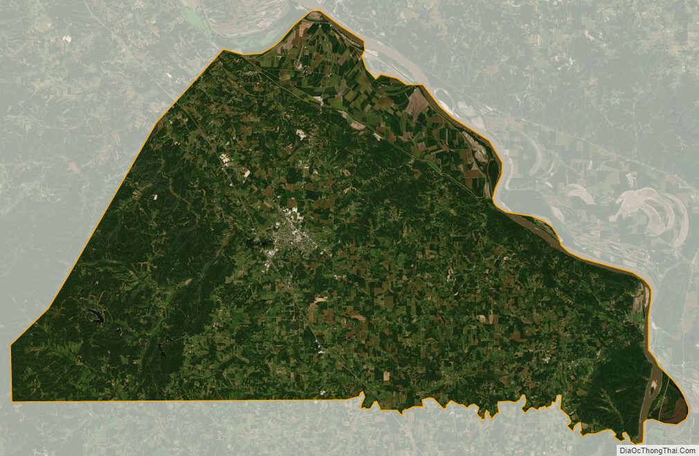
Perry County Satellite Map
Perry County Outline Map