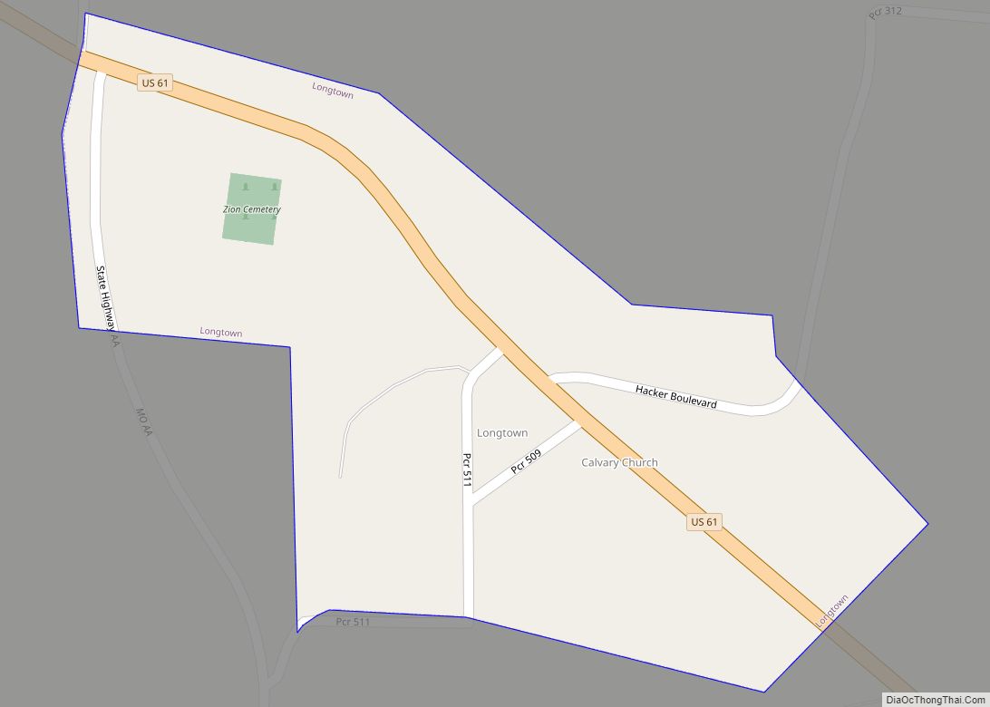
Longtown is a village in Union Township in Perry County, Missouri, United States. The population was 90 at the 2020 census.
| Name: | Longtown town |
|---|---|
| LSAD Code: | 43 |
| LSAD Description: | town (suffix) |
| State: | Missouri |
| County: | Perry County |
| Elevation: | 656 ft (200 m) |
| Total Area: | 0.13 sq mi (0.32 km²) |
| Land Area: | 0.13 sq mi (0.32 km²) |
| Water Area: | 0.00 sq mi (0.00 km²) |
| Total Population: | 90 |
| Population Density: | 720.00/sq mi (278.38/km²) |
| ZIP code: | 63775 |
| Area code: | 573 |
| FIPS code: | 2943940 |
| GNISfeature ID: | 2396724 |
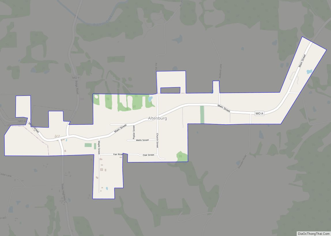
Online Interactive Map
Click on ![]() to view map in "full screen" mode.
to view map in "full screen" mode.
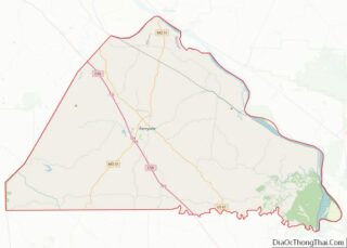
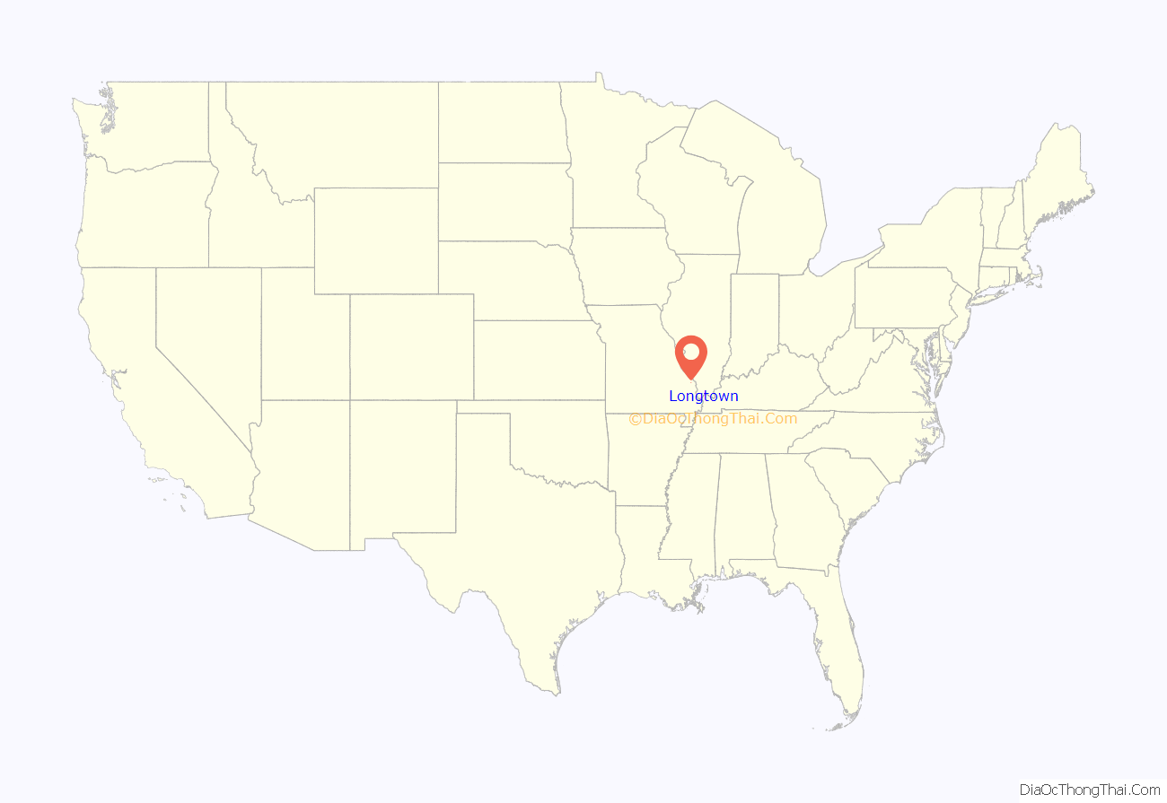
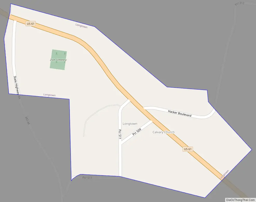
Longtown location map. Where is Longtown town?

History
Some of the earliest Europeans to put down roots in the area were English and Scotch-Irish Presbyterian settlers from Rowan, Iredell, Cabarrus, and Mecklenburg counties in North Carolina who settled to the south in Brazeau in 1817. Soon after, in 1821, they were followed by English and Scotch-Irish Methodists also hailing from North Carolina, settling in the present area of Longtown. Among the earliest families were the Abernathys, Farrars, and Rutledgers. These settlers were part of a large exodus from the Piedmont region of North Carolina following the War of 1812. In 1826 these settlers built their first log meeting house which was replaced with York Chapel Methodist church in 1836.
The settlement was initially known as the “Abernathy Settlement”, although at this point the settlement could not be considered an organized community, as the population lay scattered on farms in the surrounding area. Emil Urban and Oliver Abernathy were the first merchants in the settlement. By 1860 a core community had formed along the King’s Road (French: Le Chemin du Roi, Spanish: El Camino Real), known today as King’s Highway, but also known then as the Perryville–Jackson Road.
In April 1874 the town had been incorporated as “Longtown”. Two theories abound to the origin of the name. One early explanation gives that the town was named after a German couple that immigrated to the area – Johann and Maria Lang (Lang being German for ‘long’). The other explanation given is that the town was named after John Long, one of the earlier settlers. The first mayor was Velentine Bergmann. A post office was established in 1883 (closing in 1966).
Up until 1881 the Protestant German population had been members of the Frieden (Peace) Lutheran Congregation in nearby Friedenberg. However, due to the dirt roads becoming impassable in wet seasons or freezing temperatures in winter, the need for a local church had grown. In 1882, Rev. A.G. Wetzel organized the Cross Congregation Lutheran Church, Ohio Synod, in the school house in Longtown with former members of the Peace Lutheran Congregation of Friedenberg who followed the distinctive teachings of the Ohio Synod. However, the church faced poor prospects because of limited membership.
Another Lutheran church – Zion Lutheran Church Missouri Synod – was established in 1897 with Rev. G.D. Hamm acting as the first pastor. The original Zion Lutheran church was built of wood, but by 1912 had been replaced by the present brick church.
By 1883, the members of Cross Lutheran church had been asked to leave the schoolhouse as the building belonged to “Longtowners”. Rev. Wetzel moved to a different location, more north-east of Longtown and organized and built the Cross Lutheran Church, Ohio Synod. The small church only existed for 15 years from 1883 to 1898. Only the small Cross Cemetery remains along country road #316.
In the early part of the 20th century Longtown had a population of 158, with two churches, a public school, three general stores, a bank, a tavern and a flouring mill, and had largely remained a farming community. On April 20, 1936 the Hacker & Funke General Store and Barbershop had suffered severe fire damage. In 1946 the Friedenberg Parochial School consolidated with the Longtown Parochial School. In 1981 a fire completely destroyed the Wallace Hacker General Store.
Longtown Road Map
Longtown city Satellite Map

Geography
According to the United States Census Bureau, the village has a total area of 0.13 square miles (0.34 km), all land.
See also
Map of Missouri State and its subdivision:- Adair
- Andrew
- Atchison
- Audrain
- Barry
- Barton
- Bates
- Benton
- Bollinger
- Boone
- Buchanan
- Butler
- Caldwell
- Callaway
- Camden
- Cape Girardeau
- Carroll
- Carter
- Cass
- Cedar
- Chariton
- Christian
- Clark
- Clay
- Clinton
- Cole
- Cooper
- Crawford
- Dade
- Dallas
- Daviess
- De Kalb
- Dent
- Douglas
- Dunklin
- Franklin
- Gasconade
- Gentry
- Greene
- Grundy
- Harrison
- Henry
- Hickory
- Holt
- Howard
- Howell
- Iron
- Jackson
- Jasper
- Jefferson
- Johnson
- Knox
- Laclede
- Lafayette
- Lawrence
- Lewis
- Lincoln
- Linn
- Livingston
- Macon
- Madison
- Maries
- Marion
- McDonald
- Mercer
- Miller
- Mississippi
- Moniteau
- Monroe
- Montgomery
- Morgan
- New Madrid
- Newton
- Nodaway
- Oregon
- Osage
- Ozark
- Pemiscot
- Perry
- Pettis
- Phelps
- Pike
- Platte
- Polk
- Pulaski
- Putnam
- Ralls
- Randolph
- Ray
- Reynolds
- Ripley
- Saint Charles
- Saint Clair
- Saint Francois
- Saint Louis
- Sainte Genevieve
- Saline
- Schuyler
- Scotland
- Scott
- Shannon
- Shelby
- Stoddard
- Stone
- Sullivan
- Taney
- Texas
- Vernon
- Warren
- Washington
- Wayne
- Webster
- Worth
- Wright
- Alabama
- Alaska
- Arizona
- Arkansas
- California
- Colorado
- Connecticut
- Delaware
- District of Columbia
- Florida
- Georgia
- Hawaii
- Idaho
- Illinois
- Indiana
- Iowa
- Kansas
- Kentucky
- Louisiana
- Maine
- Maryland
- Massachusetts
- Michigan
- Minnesota
- Mississippi
- Missouri
- Montana
- Nebraska
- Nevada
- New Hampshire
- New Jersey
- New Mexico
- New York
- North Carolina
- North Dakota
- Ohio
- Oklahoma
- Oregon
- Pennsylvania
- Rhode Island
- South Carolina
- South Dakota
- Tennessee
- Texas
- Utah
- Vermont
- Virginia
- Washington
- West Virginia
- Wisconsin
- Wyoming