Tazewell County (/tæz.wɛl/) is a county located in the southwestern portion of the U.S. state of Virginia. As of the 2020 census, the population was 40,429. Its county seat is Tazewell.
Tazewell County is part of the Bluefield, WV-VA Micropolitan Statistical Area. Its economy was dependent on coal and iron of the Pocahontas Fields from the late 19th into the 20th century.
| Name: | Tazewell County |
|---|---|
| FIPS code: | 51-185 |
| State: | Virginia |
| Founded: | December 20, 1799 |
| Named for: | Henry Tazewell |
| Seat: | Tazewell |
| Largest town: | Richlands |
| Total Area: | 520 sq mi (1,300 km²) |
| Land Area: | 519 sq mi (1,340 km²) |
| Total Population: | 40,429 |
| Population Density: | 78/sq mi (30/km²) |
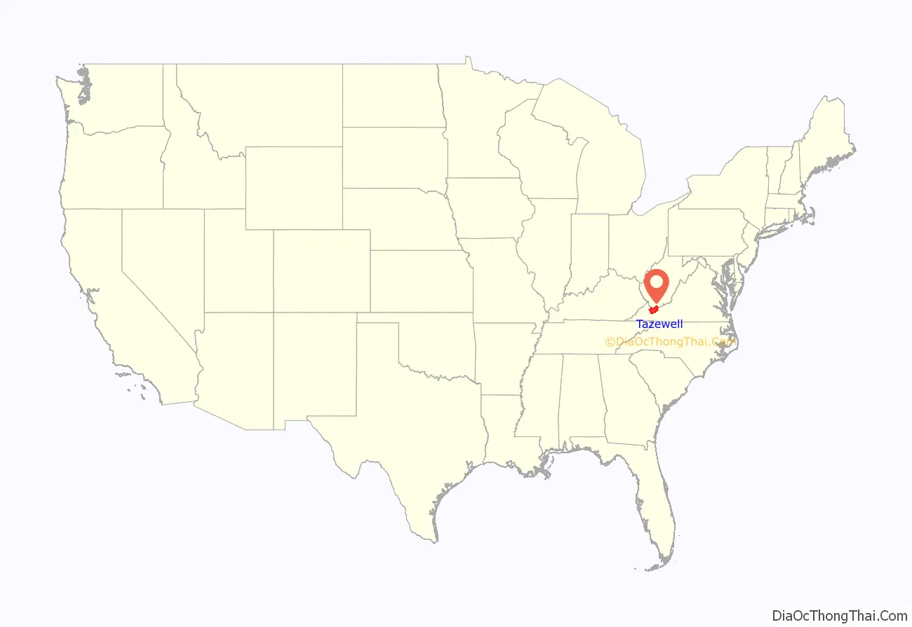
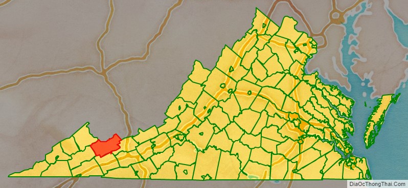
Tazewell County location map. Where is Tazewell County?
History
Tazewell County was long a hunting ground for various historic Native American tribes and their ancestral indigenous cultures. Although rare in the eastern United States, there are petroglyphs near the summit of Paintlick Mountain. Among the tribes that occupied this area in historic times were the Lenape (Delaware), and the Iroquoian-speaking Cherokee and members of the Iroquois Confederacy.
In the spring of 1771, Thomas and John Witten established the first permanent settlement in Tazewell County at Crab Orchard.
As population increased in the area, Tazewell County was created on December 20, 1799. The land for the county was taken from portions of Wythe and Russell counties. It was named after Henry Tazewell, a United States senator from Virginia, state legislator and judge. Delegate Littleton Waller Tazewell originally opposed the formation of the new county but when Simon Cotterel, who drew up the bill to form the county, changed the originally proposed name of the county to Tazewell’s namesake, in honor of his father Henry who had died earlier that year, the bill passed.
Jeffersonville was established the following year (1800) as the county seat. On February 29, 1892, Jeffersonville was renamed as Tazewell.
During the early settlement period, many Scots-Irish settled through the Appalachian backcountry, including Tazewell.
After the Civil War, construction of railroads in southwestern Virginia enabled the development of coal and iron resources in the Clinch Valley. Richlands had a boom economy in the early 1890s, and became a rougher place with young industrial workers and more saloons.
The profits generated by the coal boom resulted in the development of mansions and the elaborate Richlands Hotel, said to rival the best hotels of New York City. But it was forced to close after the boom cycle ended. It was used for other purposes.
Tazewell County was the focus of a 2005 article in Time Magazine about the opioid epidemic: however, the sheriff H. S. Caudill claimed the article misrepresented Tazewell County and his statements to the reporter.
Tazewell County Road Map
Geography
According to the U.S. Census Bureau, the county has a total area of 520 square miles (1,300 km), of which 519 square miles (1,340 km) is land and 1.1 square miles (2.8 km) (0.2%) is water.
Since it contains portions of the Ridge-and-Valley Appalachians and the Cumberland Plateau, Tazewell County has very distinct geologic areas within the county. One of the most unusual areas is Burke’s Garden, a bowl-shaped valley formed by the erosion of a doubly plunging anticline. Tazewell County includes the headwaters of four watersheds, which are the Upper Clinch, Middle New, North Fork Holston, and Tug. It also has the headwaters of the Bluestone River, which flows into West Virginia, where a portion is protected as a Wild and Scenic River.
Adjacent counties
- McDowell County, West Virginia, (North and West)
- Mercer County, West Virginia, (Northeast)
- Buchanan County, (Northwest)
- Russell County, (West)
- Smyth County, (South)
- Bland County, (East)
National protected area
- Jefferson National Forest (part)
Major highways
- US 19
- US 460
- SR 16
- SR 16 Alt.
- SR 61
- SR 67
- SR 91
- SR 102
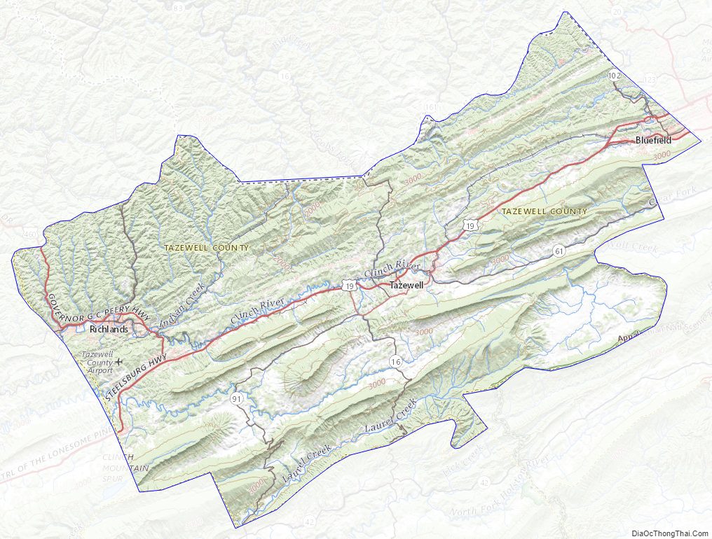
Tazewell County Topographic Map
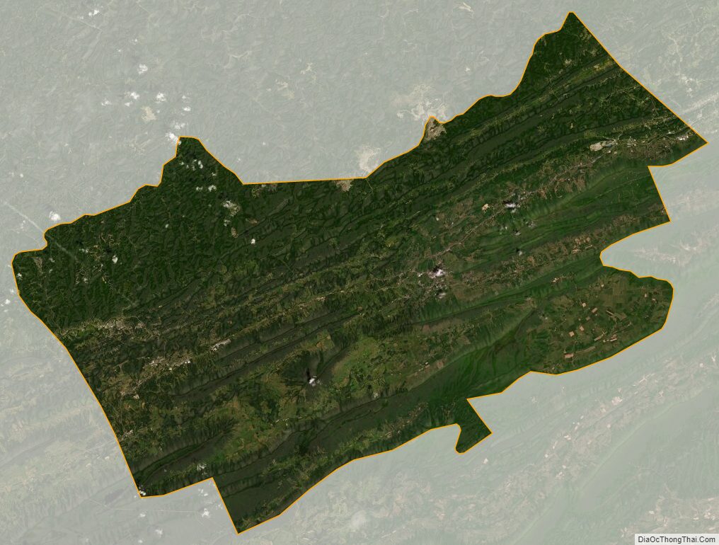
Tazewell County Satellite Map
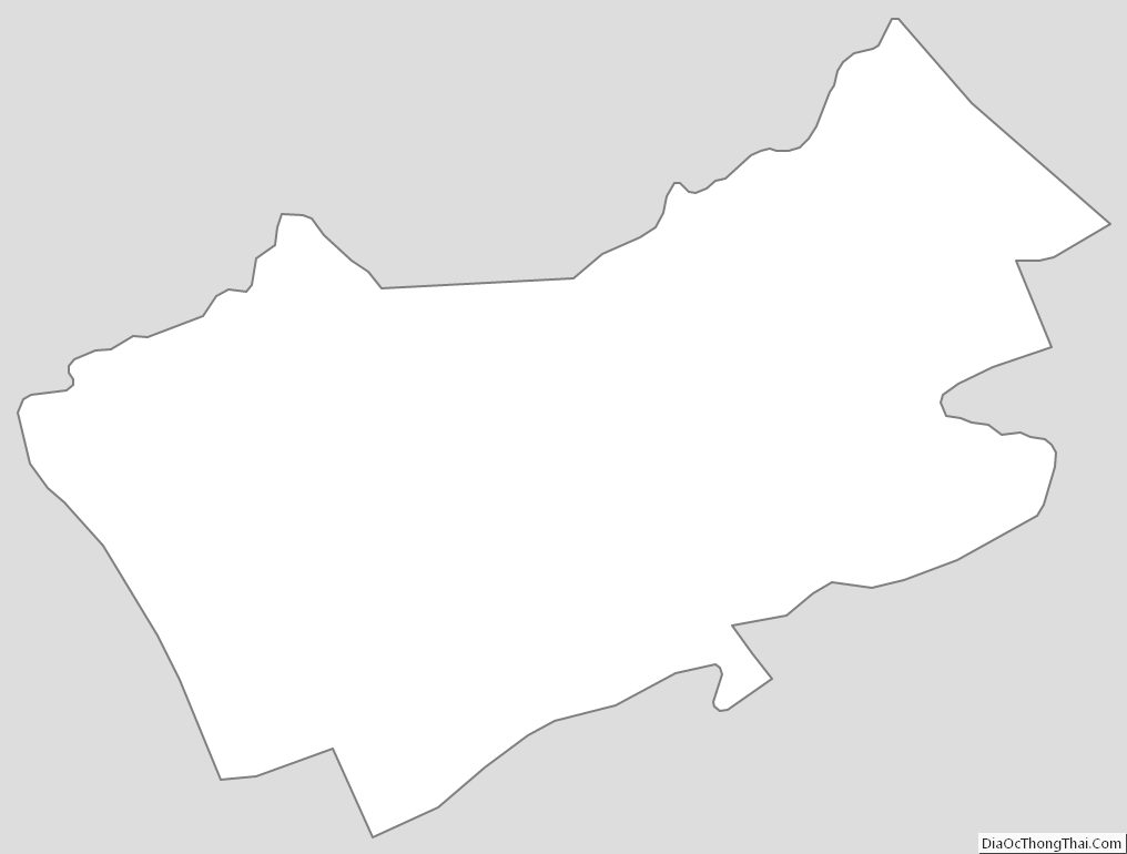
Tazewell County Outline Map