Tazewell (/tæz.wɛl/) is a town in Tazewell County, Virginia, United States. The population was 4,627 at the 2010 census. It is part of the Bluefield, WV-VA micropolitan area, which has a population of 107,578. It is the county seat of Tazewell County.
| Name: | Tazewell town |
|---|---|
| LSAD Code: | 43 |
| LSAD Description: | town (suffix) |
| State: | Virginia |
| County: | Tazewell County |
| Incorporated: | 1800 |
| Elevation: | 2,503 ft (763 m) |
| Total Area: | 6.95 sq mi (18.00 km²) |
| Land Area: | 6.87 sq mi (17.79 km²) |
| Water Area: | 0.08 sq mi (0.21 km²) |
| Total Population: | 4,486 |
| Population Density: | 645.47/sq mi (232.81/km²) |
| ZIP code: | 24608, 24651 |
| Area code: | 276 |
| FIPS code: | 5177792 |
| GNISfeature ID: | 1498543 |
| Website: | www.townoftazewell.org |
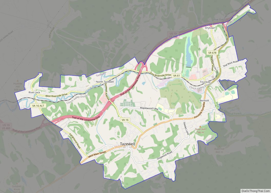
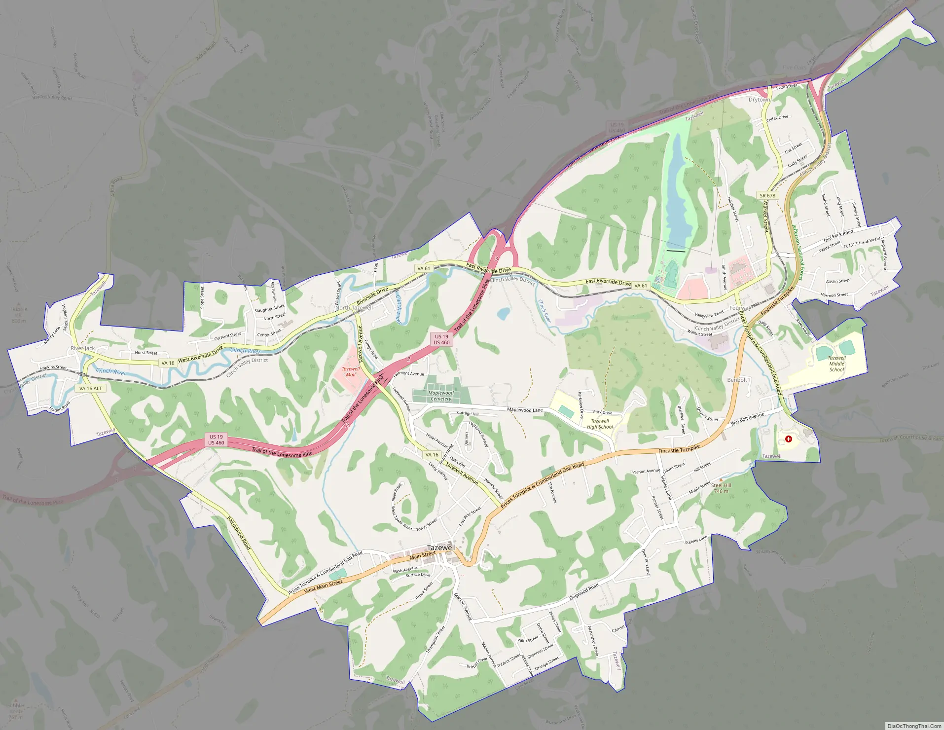
Online Interactive Map
Click on ![]() to view map in "full screen" mode.
to view map in "full screen" mode.
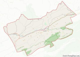
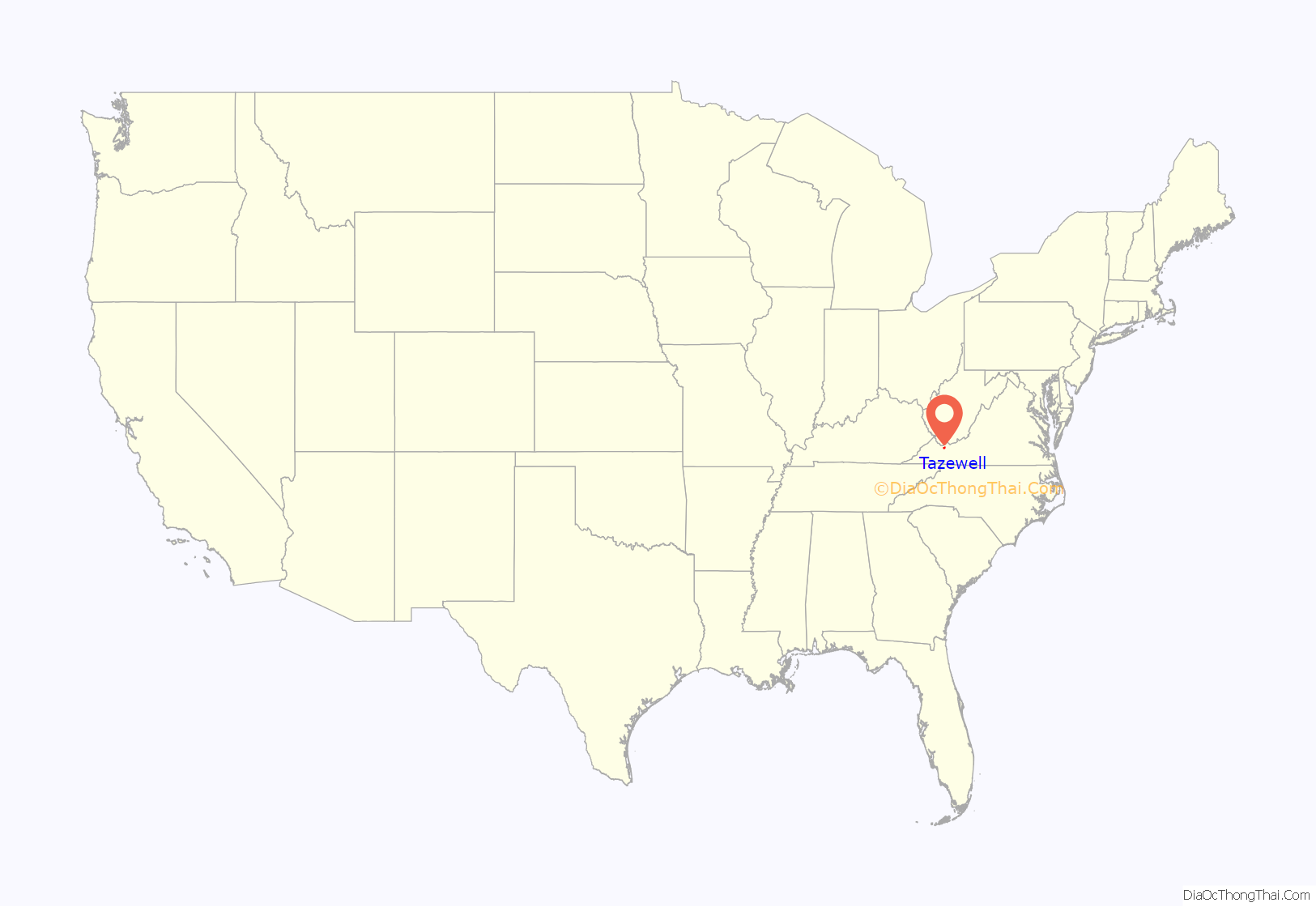
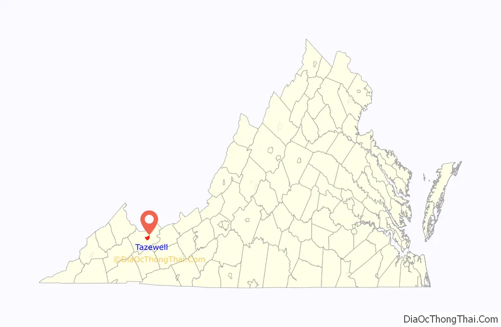
Tazewell location map. Where is Tazewell town?
History
Named Jeffersonville until 1892, Tazewell was developed near the headwaters of the Clinch River. It is one of the smallest towns in the United States to have once operated a street car. It is in a county that underwent rapid growth in population at the end of the 19th century during the period of the coal and iron boom, as resources of the Pocahontas Coalfields were exploited.
The Big Crab Orchard Site, Bull Thistle Cave Archeological Site, Burke’s Garden Rural Historic District, Chimney Rock Farm, Tazewell Historic District, George Oscar Thompson House (now demolished), and James Wynn House are listed on the National Register of Historic Places.
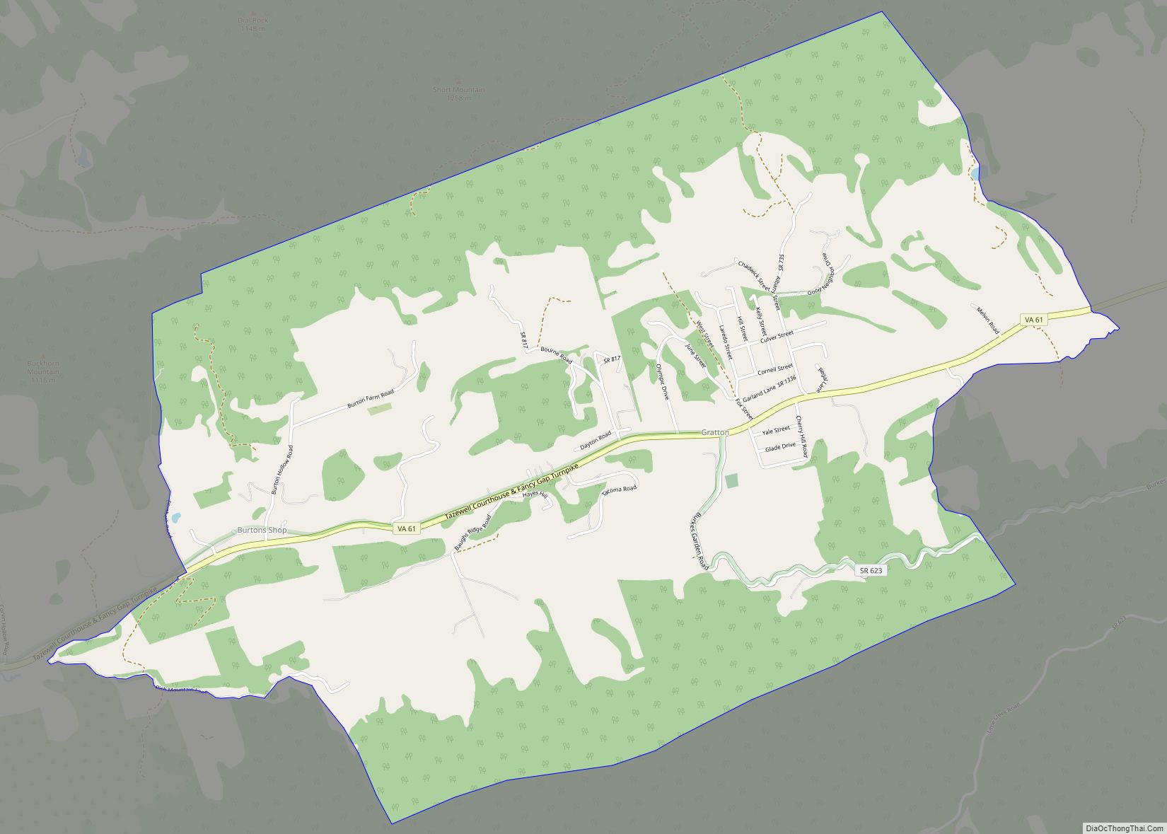
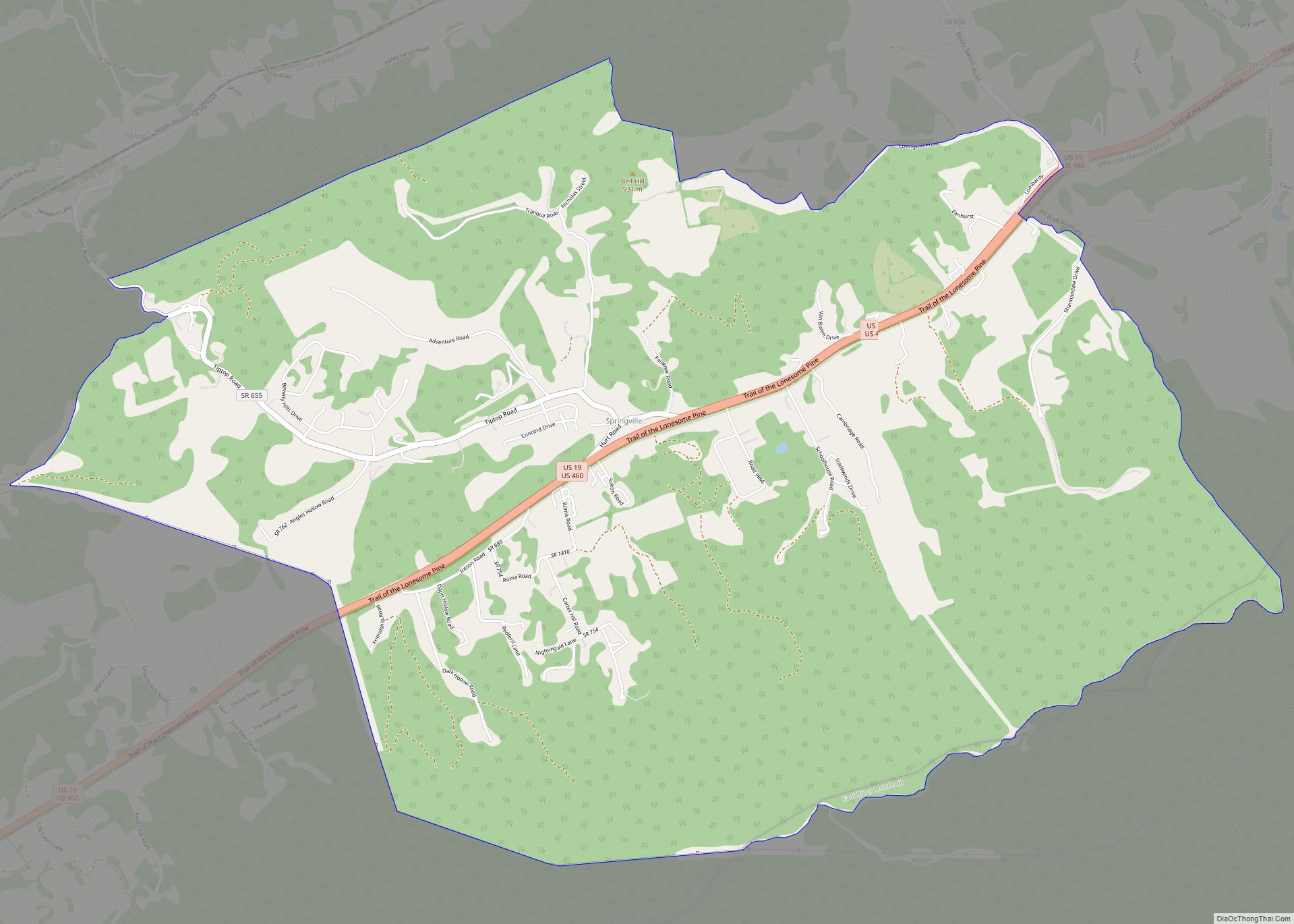
Tazewell Road Map
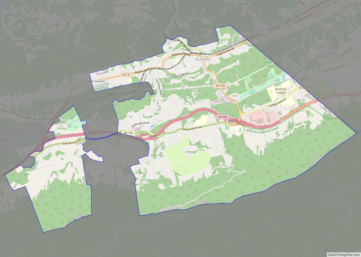
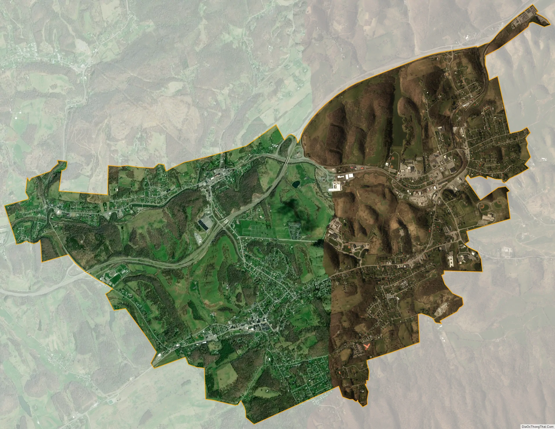
Tazewell city Satellite Map
Geography
Tazewell is located at 37°07′37″N 81°31′10″W / 37.126938°N 81.519455°W / 37.126938; -81.519455 (37.126938, −81.519455).
According to the United States Census Bureau, the town has a total area of 4.0 square miles (10.5 km), all land.
A 32-mile stretch of Virginia State Highway 16 is known locally as the Back of the Dragon because of the hundreds of sharp rising and lowering turns between Hungry Mother State Park and Tazewell. The section of highway is popular with motorcycle enthusiasts and sports car aficionados.
See also
Map of Virginia State and its subdivision:- Accomack
- Albemarle
- Alexandria
- Alleghany
- Amelia
- Amherst
- Appomattox
- Arlington
- Augusta
- Bath
- Bedford
- Bedford City
- Bland
- Botetourt
- Bristol
- Brunswick
- Buchanan
- Buckingham
- Buena Vista
- Campbell
- Caroline
- Carroll
- Charles City
- Charlotte
- Charlottesville
- Chesapeake
- Chesterfield
- Clarke
- Clifton Forge City
- Colonial Heights
- Covington
- Craig
- Culpeper
- Cumberland
- Danville
- Dickenson
- Dinwiddie
- Emporia
- Essex
- Fairfax
- Fairfax City
- Falls Church
- Fauquier
- Floyd
- Fluvanna
- Franklin
- Frederick
- Fredericksburg
- Galax
- Giles
- Gloucester
- Goochland
- Grayson
- Greene
- Greensville
- Halifax
- Hampton
- Hanover
- Harrisonburg
- Henrico
- Henry
- Highland
- Hopewell
- Isle of Wight
- James City
- King and Queen
- King George
- King William
- Lancaster
- Lee
- Lexington
- Loudoun
- Louisa
- Lunenburg
- Lynchburg
- Madison
- Manassas
- Manassas Park
- Martinsville
- Mathews
- Mecklenburg
- Middlesex
- Montgomery
- Nelson
- New Kent
- Newport News
- Norfolk
- Northampton
- Northumberland
- Norton
- Nottoway
- Orange
- Page
- Patrick
- Petersburg
- Pittsylvania
- Poquoson
- Portsmouth
- Powhatan
- Prince Edward
- Prince George
- Prince William
- Pulaski
- Radford
- Rappahannock
- Richmond
- Roanoke
- Roanoke City
- Rockbridge
- Rockingham
- Russell
- Salem
- Scott
- Shenandoah
- Smyth
- Southampton
- Spotsylvania
- Stafford
- Staunton
- Suffolk
- Surry
- Sussex
- Tazewell
- Virginia Beach
- Warren
- Washington
- Waynesboro
- Westmoreland
- Williamsburg
- Winchester
- Wise
- Wythe
- York
- Alabama
- Alaska
- Arizona
- Arkansas
- California
- Colorado
- Connecticut
- Delaware
- District of Columbia
- Florida
- Georgia
- Hawaii
- Idaho
- Illinois
- Indiana
- Iowa
- Kansas
- Kentucky
- Louisiana
- Maine
- Maryland
- Massachusetts
- Michigan
- Minnesota
- Mississippi
- Missouri
- Montana
- Nebraska
- Nevada
- New Hampshire
- New Jersey
- New Mexico
- New York
- North Carolina
- North Dakota
- Ohio
- Oklahoma
- Oregon
- Pennsylvania
- Rhode Island
- South Carolina
- South Dakota
- Tennessee
- Texas
- Utah
- Vermont
- Virginia
- Washington
- West Virginia
- Wisconsin
- Wyoming