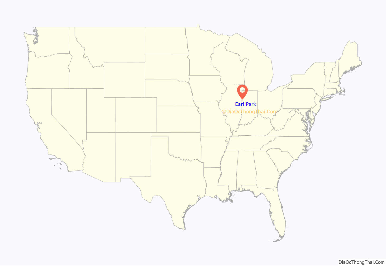
Earl Park is a town in Richland Township, Benton County, Indiana, United States. The population was 348 at the 2010 census. It is part of the Lafayette, Indiana Metropolitan Statistical Area.
| Name: | Earl Park town |
|---|---|
| LSAD Code: | 43 |
| LSAD Description: | town (suffix) |
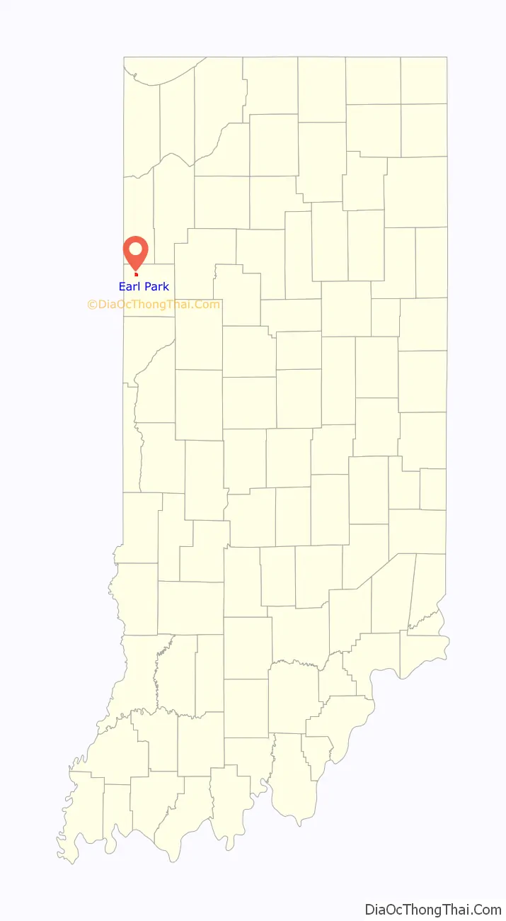
| State: | Indiana |
| County: | Benton County |
| Elevation: | 787 ft (240 m) |
| Total Area: | 0.92 sq mi (2.39 km²) |
| Land Area: | 0.92 sq mi (2.39 km²) |
| Water Area: | 0.00 sq mi (0.00 km²) 0% |
| Total Population: | 370 |
| Population Density: | 400.43/sq mi (154.54/km²) |
| ZIP code: | 47942 |
| Area code: | 219 |
| FIPS code: | 1819450 |
| GNISfeature ID: | 2396916 |
| Website: | http://www.earlparkindiana.com/ |
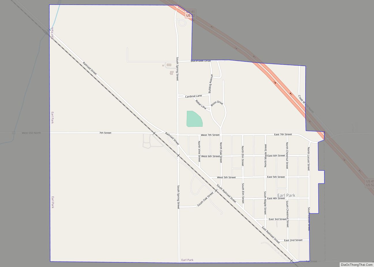
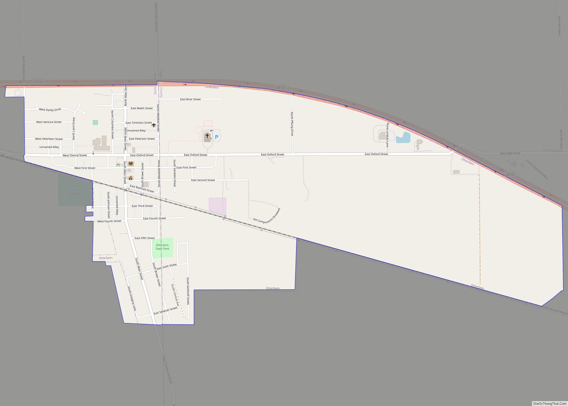
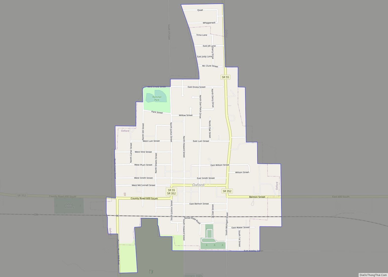
Online Interactive Map
Click on ![]() to view map in "full screen" mode.
to view map in "full screen" mode.
Earl Park location map. Where is Earl Park town?
History
Earl Park was laid out July 31, 1872, by Adams D. Raub and named for his uncle, Adams Earl, one of the promoters of the Big Four railway from Lafayette to Kankakee. It consisted of 217 lots, the public sale of which on August 8 attracted some 2,000 people. Free lunch and free transportation on a special train of freight cars from Lafayette was provided. The town’s first building was a grain elevator, the second the railway station. Elias Wees opened the first general store, providing residents with groceries and provisions.
Earl Park’s first school, a one-story frame building, was erected around 1874 and expanded to a second story around 1878. The town gained a Catholic church in 1880, and a Methodist one in 1881, each costing about $2,500 to build and furnish. Every year, Earl Park holds the Earl Park Fall Festival, which attracts thousands of people from all over the United States. It features a carnival, tractor pull, flea market, demolition derby, and some of the finest Blue Grass bands in the United States.
Earl Park is home to the Benton County Wind Farm, the first large wind farm in Indiana, established in 2008.
Earl Park was the birthplace of Matilde E. Moisant, the second woman in the United States to receive a pilot’s license.
Earl Park Road Map
Earl Park city Satellite Map

Geography
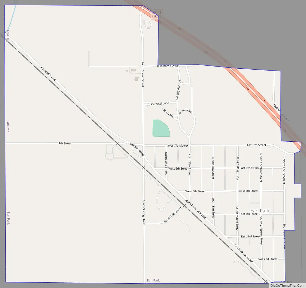
Earl Park is located in Richland Township. U.S. Route 52 skirts around the northeast edge of town, and the Kankakee, Beaverville and Southern Railroad along the southwest. The Upper Sugar Creek flows to the town’s north and west.
According to the 2010 census, Earl Park has a total area of 0.94 square miles (2.43 km), all land.
See also
Map of Indiana State and its subdivision:- Adams
- Allen
- Bartholomew
- Benton
- Blackford
- Boone
- Brown
- Carroll
- Cass
- Clark
- Clay
- Clinton
- Crawford
- Daviess
- De Kalb
- Dearborn
- Decatur
- Delaware
- Dubois
- Elkhart
- Fayette
- Floyd
- Fountain
- Franklin
- Fulton
- Gibson
- Grant
- Greene
- Hamilton
- Hancock
- Harrison
- Hendricks
- Henry
- Howard
- Huntington
- Jackson
- Jasper
- Jay
- Jefferson
- Jennings
- Johnson
- Knox
- Kosciusko
- LaGrange
- Lake
- Lake Michigan
- LaPorte
- Lawrence
- Madison
- Marion
- Marshall
- Martin
- Miami
- Monroe
- Montgomery
- Morgan
- Newton
- Noble
- Ohio
- Orange
- Owen
- Parke
- Perry
- Pike
- Porter
- Posey
- Pulaski
- Putnam
- Randolph
- Ripley
- Rush
- Saint Joseph
- Scott
- Shelby
- Spencer
- Starke
- Steuben
- Sullivan
- Switzerland
- Tippecanoe
- Tipton
- Union
- Vanderburgh
- Vermillion
- Vigo
- Wabash
- Warren
- Warrick
- Washington
- Wayne
- Wells
- White
- Whitley
- Alabama
- Alaska
- Arizona
- Arkansas
- California
- Colorado
- Connecticut
- Delaware
- District of Columbia
- Florida
- Georgia
- Hawaii
- Idaho
- Illinois
- Indiana
- Iowa
- Kansas
- Kentucky
- Louisiana
- Maine
- Maryland
- Massachusetts
- Michigan
- Minnesota
- Mississippi
- Missouri
- Montana
- Nebraska
- Nevada
- New Hampshire
- New Jersey
- New Mexico
- New York
- North Carolina
- North Dakota
- Ohio
- Oklahoma
- Oregon
- Pennsylvania
- Rhode Island
- South Carolina
- South Dakota
- Tennessee
- Texas
- Utah
- Vermont
- Virginia
- Washington
- West Virginia
- Wisconsin
- Wyoming