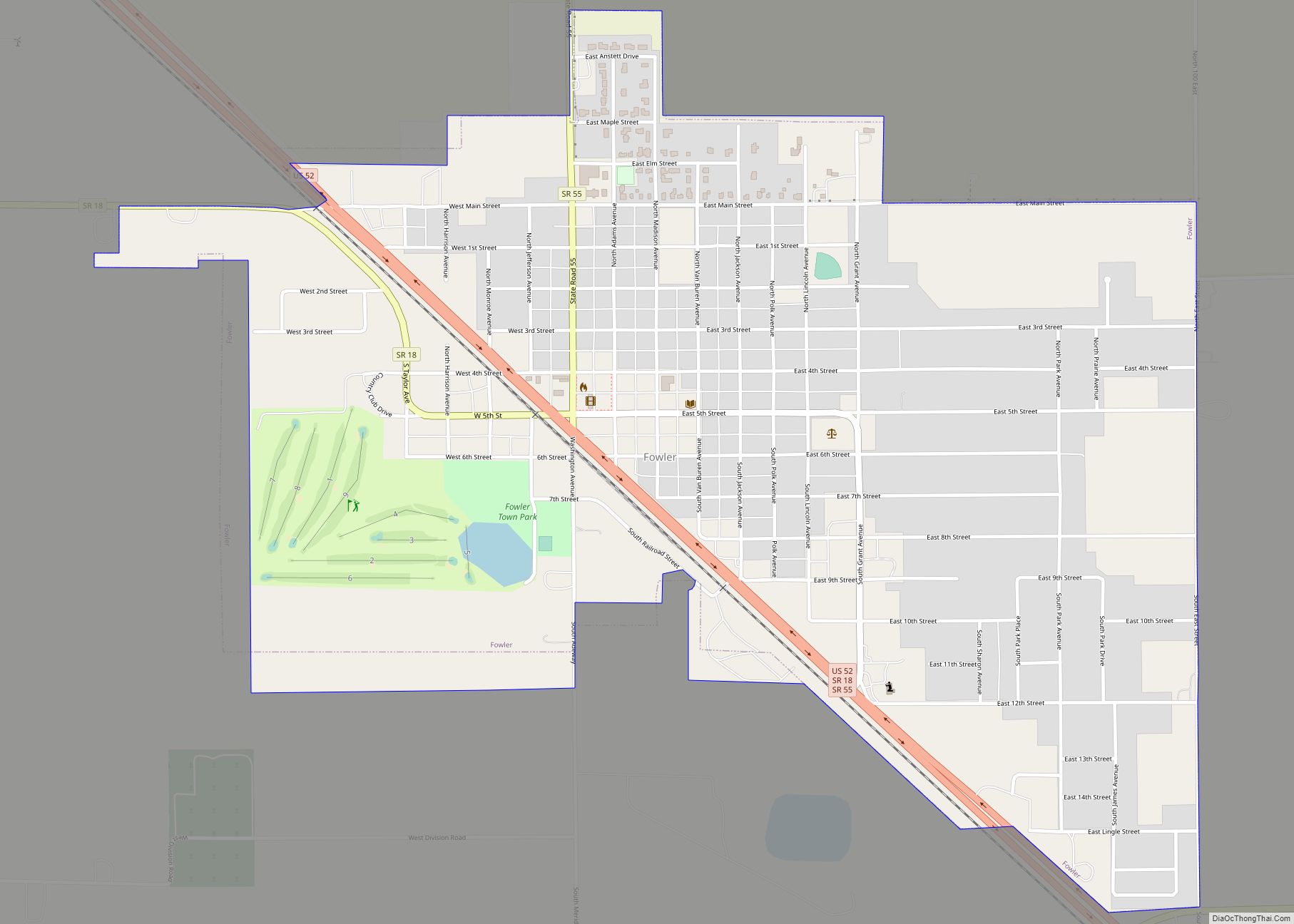
Fowler is a town in Center Township, Benton County, Indiana, United States. The population was 2,337 at the 2020 census. It is part of the Lafayette, Indiana Metropolitan Statistical Area.
| Name: | Fowler town |
|---|---|
| LSAD Code: | 43 |
| LSAD Description: | town (suffix) |
| State: | Indiana |
| County: | Benton County |
| Elevation: | 820 ft (250 m) |
| Total Area: | 1.42 sq mi (3.67 km²) |
| Land Area: | 1.41 sq mi (3.66 km²) |
| Water Area: | 0.01 sq mi (0.01 km²) |
| Total Population: | 2,337 |
| Population Density: | 1,655.10/sq mi (638.92/km²) |
| ZIP code: | 47944, 47984, 47986 |
| Area code: | 765 |
| FIPS code: | 1825180 |
| GNISfeature ID: | 2396945 |
| Website: | www.townoffowler.com |
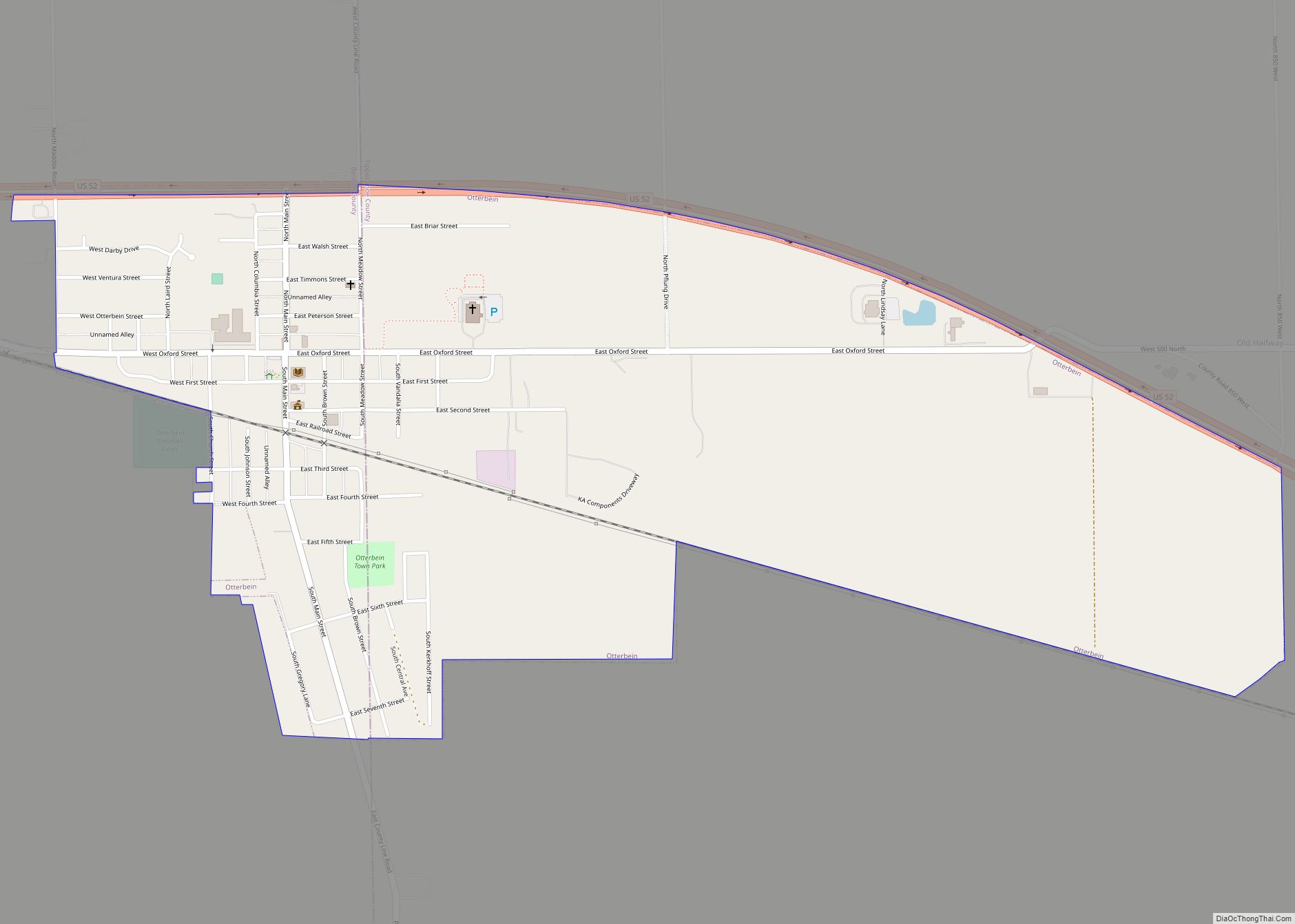
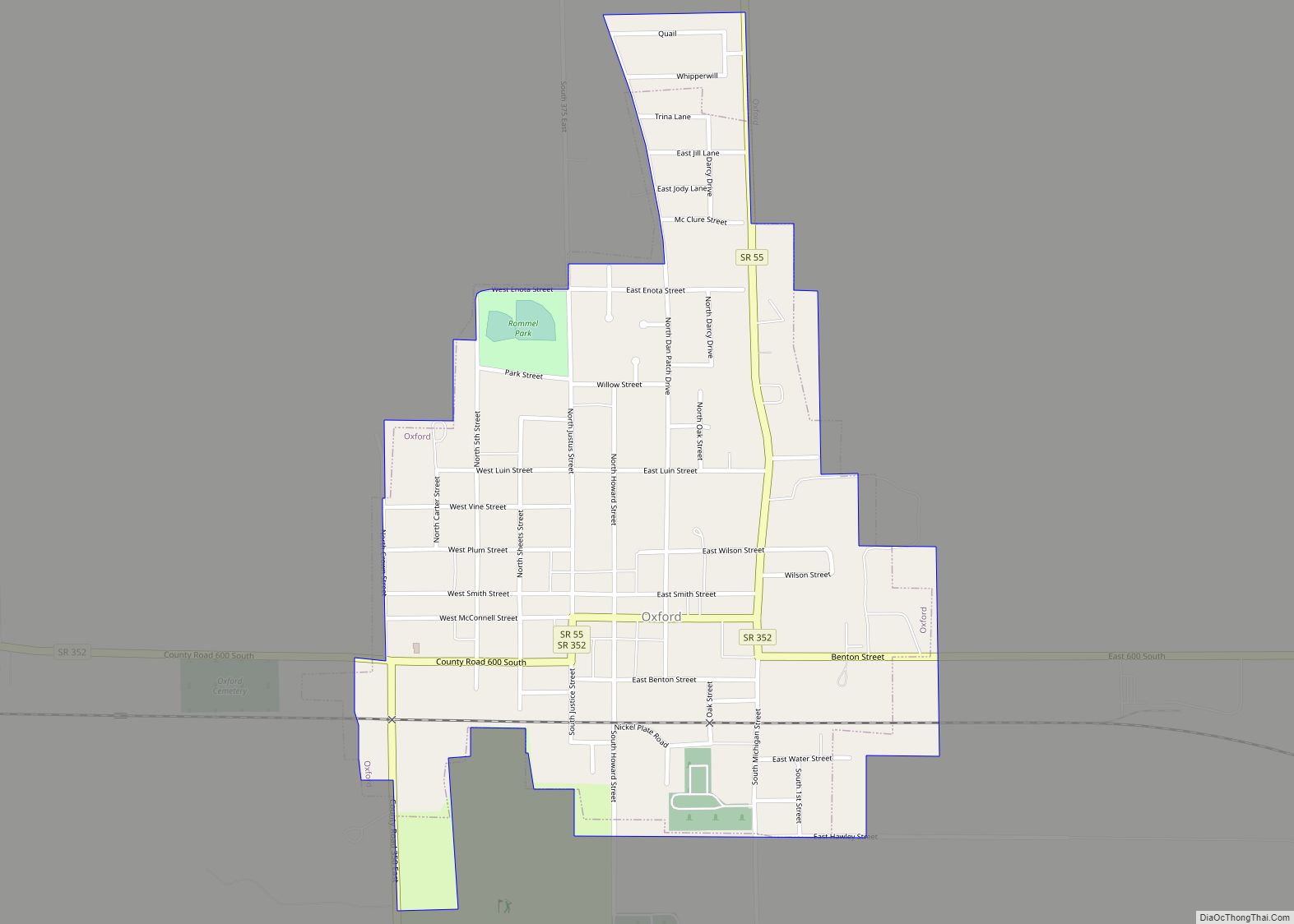
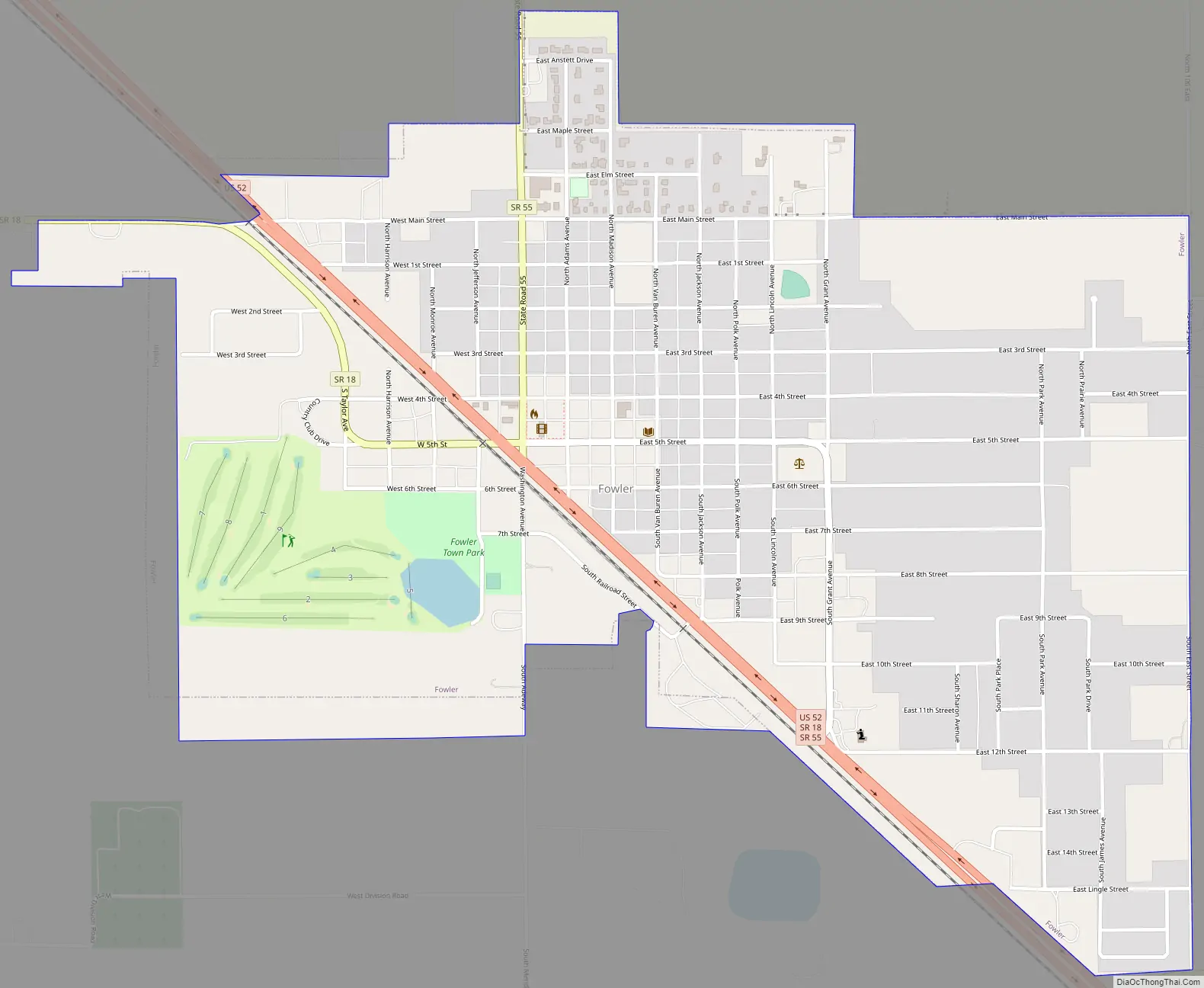
Online Interactive Map
Click on ![]() to view map in "full screen" mode.
to view map in "full screen" mode.
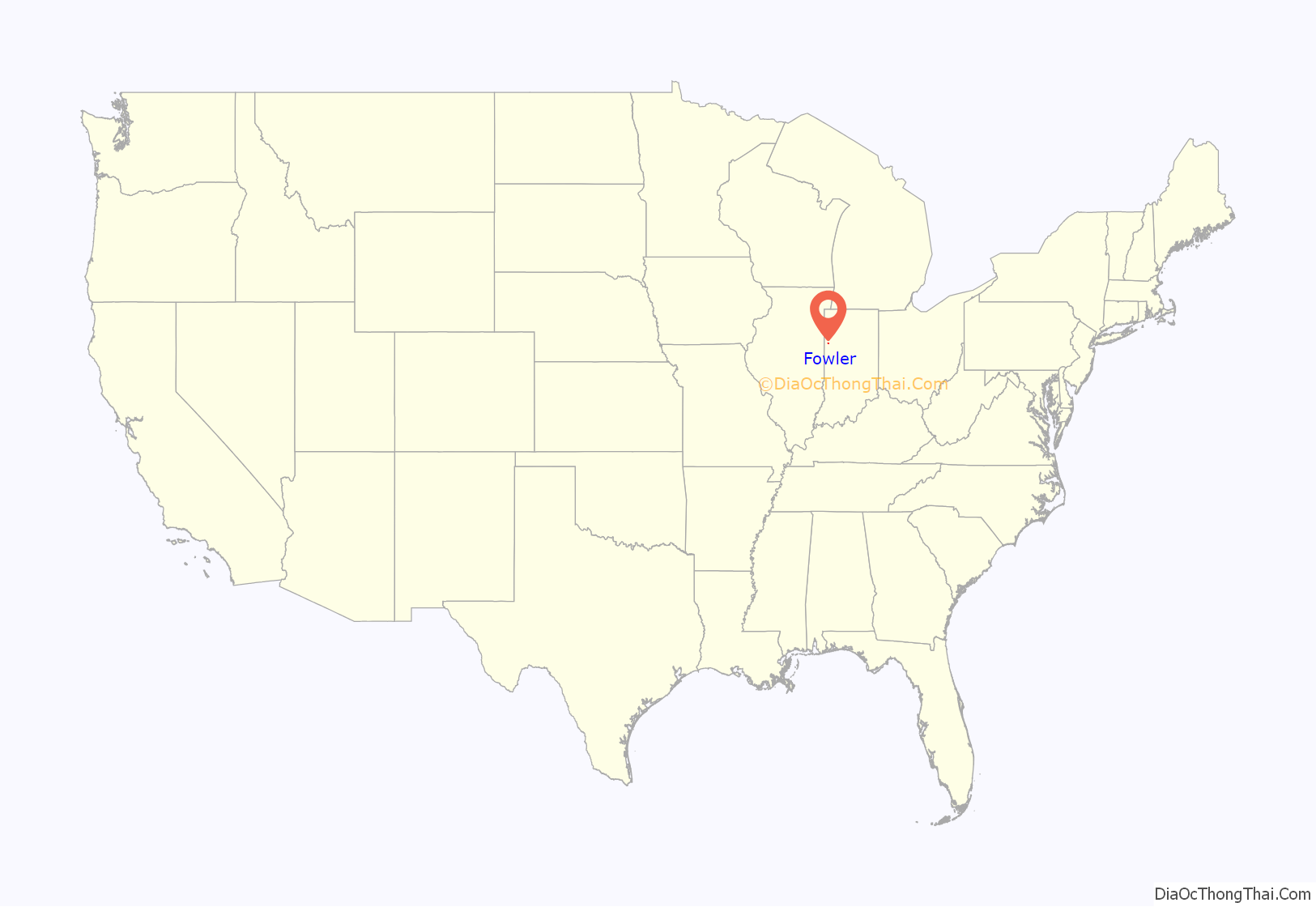
Fowler location map. Where is Fowler town?
History
Fowler was platted by husband and wife Moses and Eliza Fowler on October 26, 1872, and originally consisted of 583 lots, though a re-platting on April 8, 1875, expanded it to 1,602 lots and 20 blocks. Several more additions were made to the town over subsequent years.
The town’s first home was erected in March 1871 by Scott Shipman, and its first business opened in June of that year, a small general store run by Henry D. Clark. Many more businesses followed over the next few years, including the Henry Jacobs & Son grocery, grain elevators built by L. Templeton, and blacksmith John E. Mitchell, who was also the town’s first postmaster (succeeded by grocer Henry Jacobs). In 1874, Fowler became the county seat, which until that time had occupied nearby Oxford.
The town was incorporated in 1875, and its rapid growth is clear from the following list, printed in an 1883 history of Benton County:
Fowler is home to the Fowler Ridge Wind Farm.
The Benton County Courthouse, Fowler Theatre, and Fraser & Isham Law Office are listed on the National Register of Historic Places.
Fowler Road Map
Fowler city Satellite Map

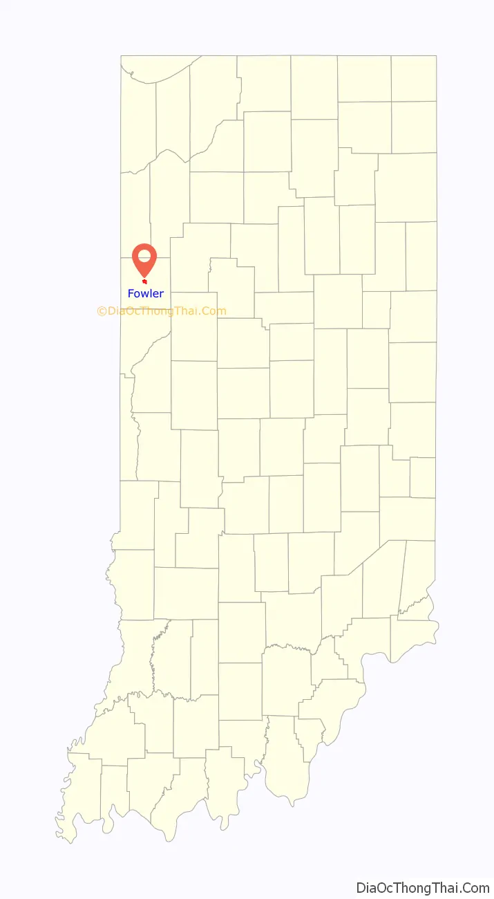
Geography
Fowler is located in Center Township. U.S. Route 52 and State Roads 18 and 55 pass through town, and U.S. Route 41 intersects 52 four miles to the northwest.
According to the 2010 census, Fowler has a total area of 1.41 square miles (3.65 km), of which 1.4 square miles (3.63 km) (or 99.29%) is land and 0.01 square miles (0.03 km) (or 0.71%) is water.
See also
Map of Indiana State and its subdivision:- Adams
- Allen
- Bartholomew
- Benton
- Blackford
- Boone
- Brown
- Carroll
- Cass
- Clark
- Clay
- Clinton
- Crawford
- Daviess
- De Kalb
- Dearborn
- Decatur
- Delaware
- Dubois
- Elkhart
- Fayette
- Floyd
- Fountain
- Franklin
- Fulton
- Gibson
- Grant
- Greene
- Hamilton
- Hancock
- Harrison
- Hendricks
- Henry
- Howard
- Huntington
- Jackson
- Jasper
- Jay
- Jefferson
- Jennings
- Johnson
- Knox
- Kosciusko
- LaGrange
- Lake
- Lake Michigan
- LaPorte
- Lawrence
- Madison
- Marion
- Marshall
- Martin
- Miami
- Monroe
- Montgomery
- Morgan
- Newton
- Noble
- Ohio
- Orange
- Owen
- Parke
- Perry
- Pike
- Porter
- Posey
- Pulaski
- Putnam
- Randolph
- Ripley
- Rush
- Saint Joseph
- Scott
- Shelby
- Spencer
- Starke
- Steuben
- Sullivan
- Switzerland
- Tippecanoe
- Tipton
- Union
- Vanderburgh
- Vermillion
- Vigo
- Wabash
- Warren
- Warrick
- Washington
- Wayne
- Wells
- White
- Whitley
- Alabama
- Alaska
- Arizona
- Arkansas
- California
- Colorado
- Connecticut
- Delaware
- District of Columbia
- Florida
- Georgia
- Hawaii
- Idaho
- Illinois
- Indiana
- Iowa
- Kansas
- Kentucky
- Louisiana
- Maine
- Maryland
- Massachusetts
- Michigan
- Minnesota
- Mississippi
- Missouri
- Montana
- Nebraska
- Nevada
- New Hampshire
- New Jersey
- New Mexico
- New York
- North Carolina
- North Dakota
- Ohio
- Oklahoma
- Oregon
- Pennsylvania
- Rhode Island
- South Carolina
- South Dakota
- Tennessee
- Texas
- Utah
- Vermont
- Virginia
- Washington
- West Virginia
- Wisconsin
- Wyoming