Otterbein is a town in Bolivar Township, Benton County and Shelby Township, Tippecanoe County, Indiana, named for William Otterbein Brown who donated land for the town. As of the 2010 census, its population was 1,262.
It is part of the Lafayette, Indiana Metropolitan Statistical Area.
| Name: | Otterbein town |
|---|---|
| LSAD Code: | 43 |
| LSAD Description: | town (suffix) |
| State: | Indiana |
| County: | Benton County, Tippecanoe County |
| Elevation: | 705 ft (215 m) |
| Total Area: | 1.28 sq mi (3.33 km²) |
| Land Area: | 1.28 sq mi (3.32 km²) |
| Water Area: | 0.00 sq mi (0.00 km²) |
| Total Population: | 1,144 |
| Population Density: | 891.66/sq mi (344.39/km²) |
| ZIP code: | 47970 |
| Area code: | 765 |
| FIPS code: | 1857258 |
| GNISfeature ID: | 2396841 |
| Website: | http://otterbein.in.gov/ |
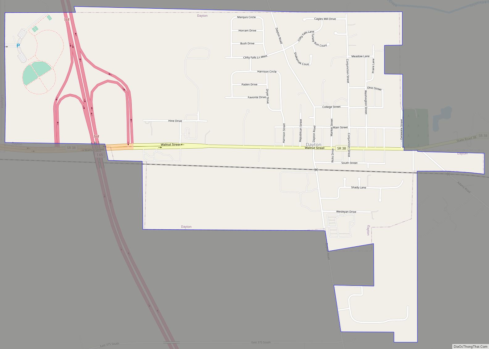
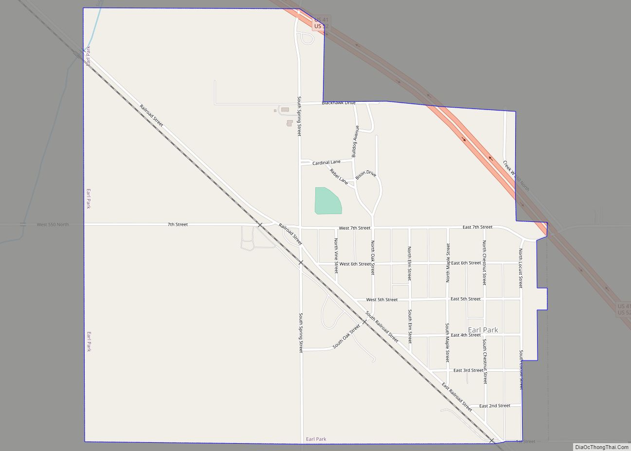
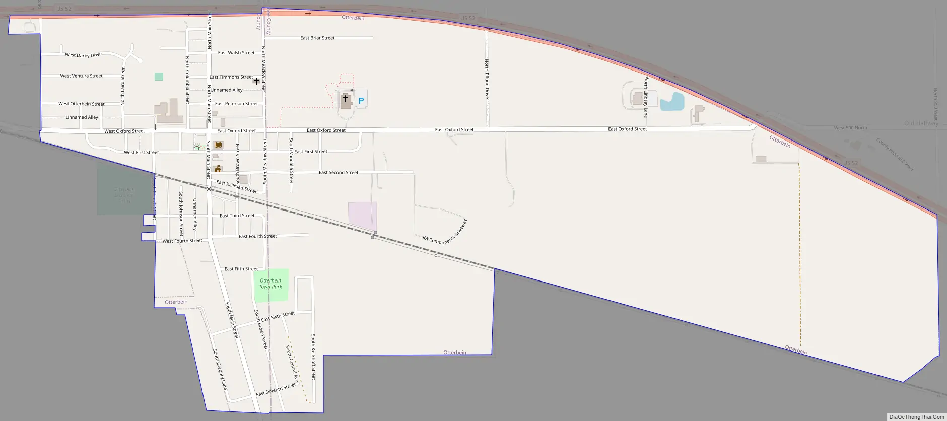
Online Interactive Map
Click on ![]() to view map in "full screen" mode.
to view map in "full screen" mode.
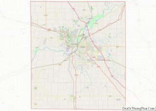
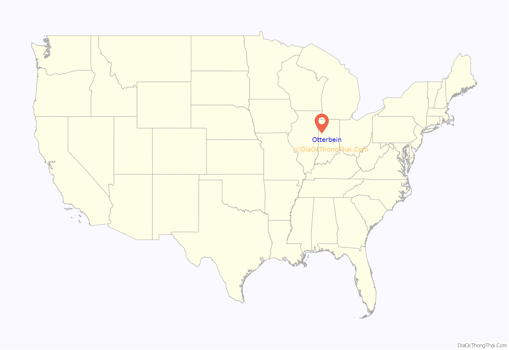
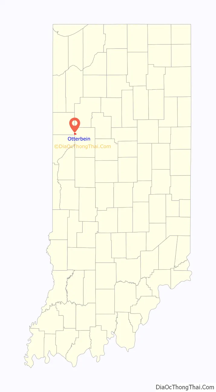
Otterbein location map. Where is Otterbein town?
History
Originally a site known as Pond Grove, Otterbein’s first 60 lots were laid out by John Levering and his wife on October 25, 1872, with an addition by Mary A. Clancey on April 24, 1883. The first home was built by Dr. John K. Thompson and the first business, a general store, by Henry H. Moore. William Otterbein Brown, the farmer and stock-dealer for whom the town was named, held the office of postmaster until his death on February 18, 1879. Otterbein High School ran from 1910 to 1966, when the consolidated Benton Community School Corporation came into existence. The gym and most of the building burned in a fire in 1975.
As of 2023, Otterbein has two churches, Catholic and United Methodist, 4 restaurants, 2 sporting goods stores, a thrift shop, an elementary school, and a public library.
At one time, two sets of Nickel Plate Railroad tracks ran through the town. One set of tracks has since been removed, and the other is used by Kankakee, Beaverville and Southern Railroad. Since the end of 2008, the railroad right-of-way has been used for the placement of poles that carry electric power from the wind turbines in western Benton County to the substation at Montmorenci.
Kerkhoff Truss Plant and Rowe Trucking Inc occupy the industrial park at the east edge of town, which is actually in Tippecanoe County. The Otterbein post office has been in operation since 1872.
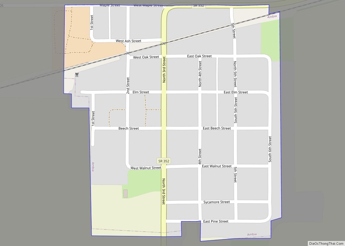
Otterbein Road Map
Otterbein city Satellite Map

Geography
Otterbein occupies mostly flat, open farm land on the eastern border of Benton County in Bolivar Township, with eastern sections of the community extending into Tippecanoe County. U.S. Route 52 passes along its north side and the Kankakee, Beaverville and Southern Railroad cuts through town to the south.
According to the 2010 census, Otterbein has a total area of 0.61 square miles (1.58 km), all land.
Oxford Street, old US 52, is the central east-west street and the only blinking traffic light in town is located at its junction with Main Street. Otterbein is known for its extremely wide, block-long Main Street that accommodates two rows of parallel parking in the middle of the street.
See also
Map of Indiana State and its subdivision:- Adams
- Allen
- Bartholomew
- Benton
- Blackford
- Boone
- Brown
- Carroll
- Cass
- Clark
- Clay
- Clinton
- Crawford
- Daviess
- De Kalb
- Dearborn
- Decatur
- Delaware
- Dubois
- Elkhart
- Fayette
- Floyd
- Fountain
- Franklin
- Fulton
- Gibson
- Grant
- Greene
- Hamilton
- Hancock
- Harrison
- Hendricks
- Henry
- Howard
- Huntington
- Jackson
- Jasper
- Jay
- Jefferson
- Jennings
- Johnson
- Knox
- Kosciusko
- LaGrange
- Lake
- Lake Michigan
- LaPorte
- Lawrence
- Madison
- Marion
- Marshall
- Martin
- Miami
- Monroe
- Montgomery
- Morgan
- Newton
- Noble
- Ohio
- Orange
- Owen
- Parke
- Perry
- Pike
- Porter
- Posey
- Pulaski
- Putnam
- Randolph
- Ripley
- Rush
- Saint Joseph
- Scott
- Shelby
- Spencer
- Starke
- Steuben
- Sullivan
- Switzerland
- Tippecanoe
- Tipton
- Union
- Vanderburgh
- Vermillion
- Vigo
- Wabash
- Warren
- Warrick
- Washington
- Wayne
- Wells
- White
- Whitley
- Alabama
- Alaska
- Arizona
- Arkansas
- California
- Colorado
- Connecticut
- Delaware
- District of Columbia
- Florida
- Georgia
- Hawaii
- Idaho
- Illinois
- Indiana
- Iowa
- Kansas
- Kentucky
- Louisiana
- Maine
- Maryland
- Massachusetts
- Michigan
- Minnesota
- Mississippi
- Missouri
- Montana
- Nebraska
- Nevada
- New Hampshire
- New Jersey
- New Mexico
- New York
- North Carolina
- North Dakota
- Ohio
- Oklahoma
- Oregon
- Pennsylvania
- Rhode Island
- South Carolina
- South Dakota
- Tennessee
- Texas
- Utah
- Vermont
- Virginia
- Washington
- West Virginia
- Wisconsin
- Wyoming