Fincastle is a town in Botetourt County, Virginia, United States. The population was 755 at the 2020 census. It is the county seat of Botetourt County.
Fincastle is part of the Roanoke Metropolitan Statistical Area.
| Name: | Fincastle town |
|---|---|
| LSAD Code: | 43 |
| LSAD Description: | town (suffix) |
| State: | Virginia |
| County: | Botetourt County |
| Elevation: | 1,240 ft (378 m) |
| Total Area: | 2.06 sq mi (5.32 km²) |
| Land Area: | 2.05 sq mi (5.30 km²) |
| Water Area: | 0.01 sq mi (0.02 km²) |
| Total Population: | 755 |
| Population Density: | 368/sq mi (142/km²) |
| ZIP code: | 24090 |
| Area code: | 540 |
| FIPS code: | 5127824 |
| GNISfeature ID: | 1498478 |
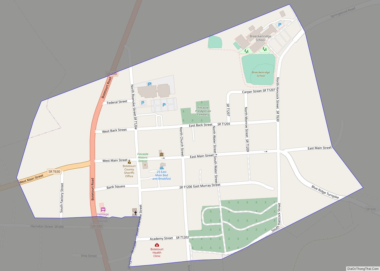
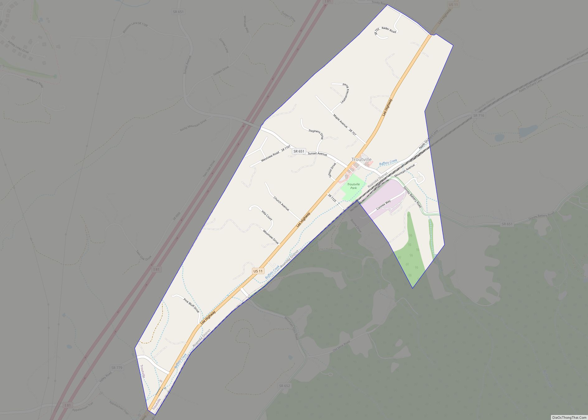
Online Interactive Map
Click on ![]() to view map in "full screen" mode.
to view map in "full screen" mode.
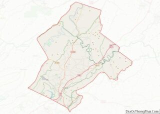
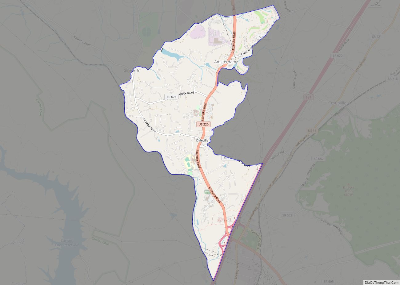
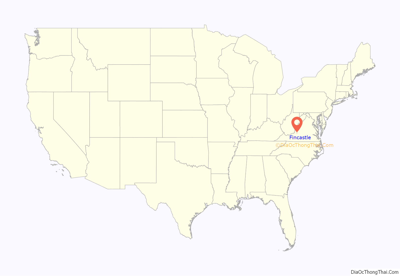
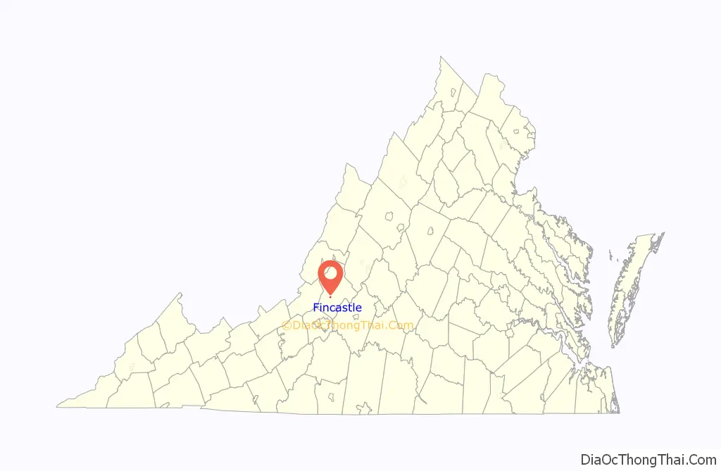
Fincastle location map. Where is Fincastle town?
History
The town of Fincastle was originally settled by Scotch-Irish and German immigrants from Pennsylvania who arrived in the region in the mid-18th century. John Miller erected a sawmill which became the nucleus of the early village of Fincastle. In 1770, Botetourt County was separated from Augusta County, and Miller’s home was selected as the meeting place for the court. Two years later, Israel Christian donated 45 acres (18 ha) of land and laid out the streets and lots for the new town of Fincastle. The town’s name was selected to honor George, Lord Fincastle, the eldest son of Virginia’s Lieutenant Governor, Lord Dunmore.
In 1773, the first log courthouse was built on the designated court square at the center of Fincastle. Around the same time, a brick church was constructed on land donated by Israel Christian to serve as the established (Anglican) house of worship for the town. The church closed after the disestablishment of the Anglican Church in Virginia during the Revolutionary War and was later occupied by Presbyterians who rebuilt the structure to its present Greek Revival style. By the early-19th century, the village had grown into an important regional center of commerce, especially for the wool industry, aided by the construction of taverns, hotels, and shops. A second courthouse was erected in 1818 and replaced by a third, a larger brick structure of Greek Revival style in 1850. This courthouse continues to serve Botetourt County today, having been rebuilt after a disastrous fire in 1970.
The Bowyer-Holladay House, Breckinridge Mill, Fincastle Historic District, Greenfield, Hawthorne Hall, Prospect Hill, Santillane, Wheatland Manor, and Wiloma are listed on the National Register of Historic Places.
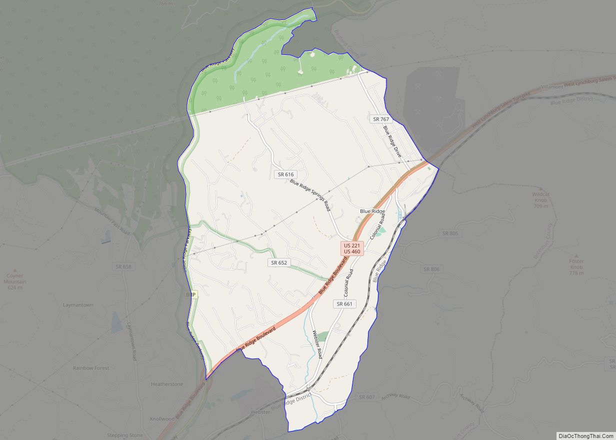
Fincastle Road Map
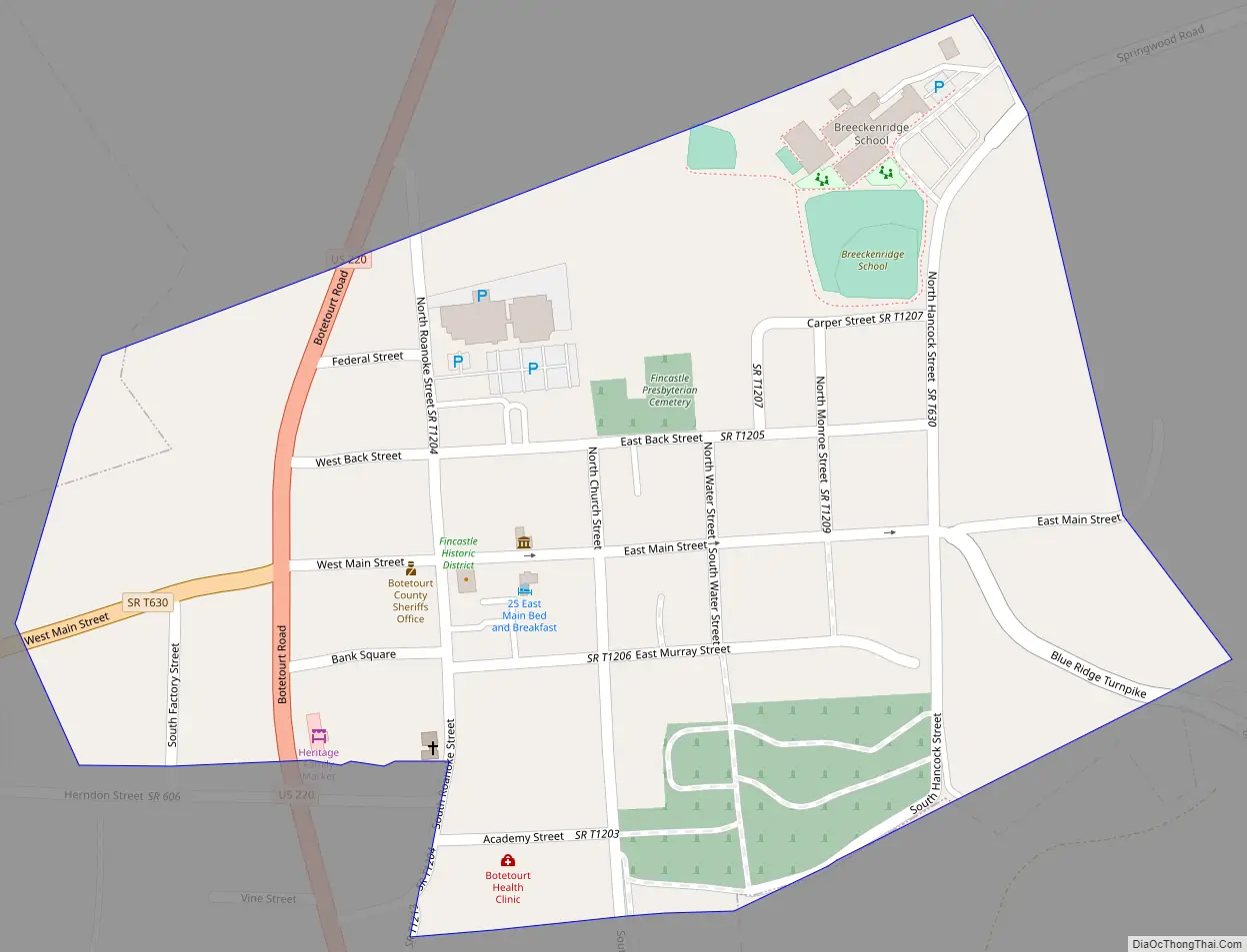
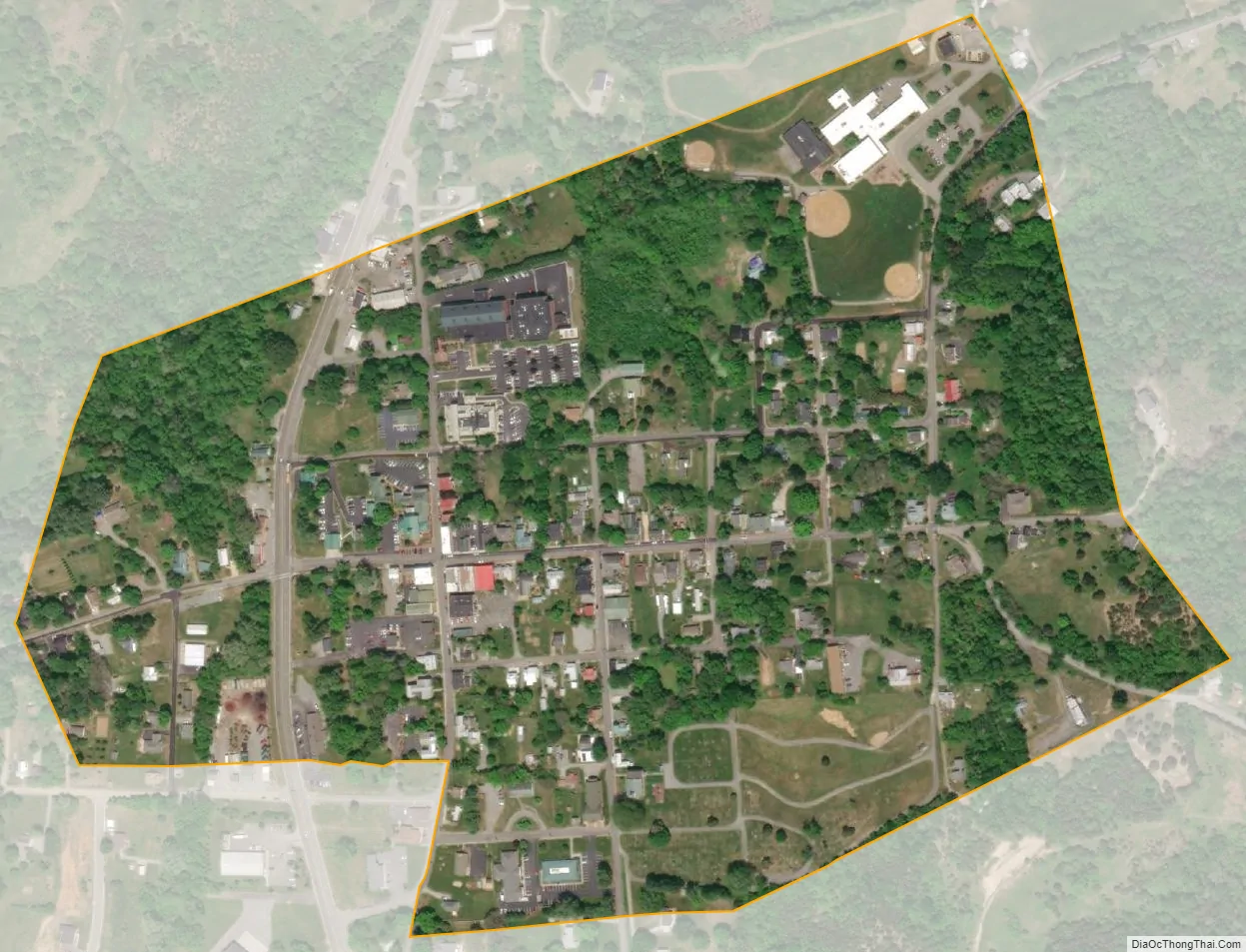
Fincastle city Satellite Map
Geography
Fincastle is located at 37°29′58″N 79°52′36″W / 37.499421°N 79.876674°W / 37.499421; -79.876674 (37.499421, -79.876674).
In May 2018, a boundary line adjustment increased the town’s total area from 0.2 square mile (0.6 km) to 2.06 square miles (5.32 km)
See also
Map of Virginia State and its subdivision:- Accomack
- Albemarle
- Alexandria
- Alleghany
- Amelia
- Amherst
- Appomattox
- Arlington
- Augusta
- Bath
- Bedford
- Bedford City
- Bland
- Botetourt
- Bristol
- Brunswick
- Buchanan
- Buckingham
- Buena Vista
- Campbell
- Caroline
- Carroll
- Charles City
- Charlotte
- Charlottesville
- Chesapeake
- Chesterfield
- Clarke
- Clifton Forge City
- Colonial Heights
- Covington
- Craig
- Culpeper
- Cumberland
- Danville
- Dickenson
- Dinwiddie
- Emporia
- Essex
- Fairfax
- Fairfax City
- Falls Church
- Fauquier
- Floyd
- Fluvanna
- Franklin
- Frederick
- Fredericksburg
- Galax
- Giles
- Gloucester
- Goochland
- Grayson
- Greene
- Greensville
- Halifax
- Hampton
- Hanover
- Harrisonburg
- Henrico
- Henry
- Highland
- Hopewell
- Isle of Wight
- James City
- King and Queen
- King George
- King William
- Lancaster
- Lee
- Lexington
- Loudoun
- Louisa
- Lunenburg
- Lynchburg
- Madison
- Manassas
- Manassas Park
- Martinsville
- Mathews
- Mecklenburg
- Middlesex
- Montgomery
- Nelson
- New Kent
- Newport News
- Norfolk
- Northampton
- Northumberland
- Norton
- Nottoway
- Orange
- Page
- Patrick
- Petersburg
- Pittsylvania
- Poquoson
- Portsmouth
- Powhatan
- Prince Edward
- Prince George
- Prince William
- Pulaski
- Radford
- Rappahannock
- Richmond
- Roanoke
- Roanoke City
- Rockbridge
- Rockingham
- Russell
- Salem
- Scott
- Shenandoah
- Smyth
- Southampton
- Spotsylvania
- Stafford
- Staunton
- Suffolk
- Surry
- Sussex
- Tazewell
- Virginia Beach
- Warren
- Washington
- Waynesboro
- Westmoreland
- Williamsburg
- Winchester
- Wise
- Wythe
- York
- Alabama
- Alaska
- Arizona
- Arkansas
- California
- Colorado
- Connecticut
- Delaware
- District of Columbia
- Florida
- Georgia
- Hawaii
- Idaho
- Illinois
- Indiana
- Iowa
- Kansas
- Kentucky
- Louisiana
- Maine
- Maryland
- Massachusetts
- Michigan
- Minnesota
- Mississippi
- Missouri
- Montana
- Nebraska
- Nevada
- New Hampshire
- New Jersey
- New Mexico
- New York
- North Carolina
- North Dakota
- Ohio
- Oklahoma
- Oregon
- Pennsylvania
- Rhode Island
- South Carolina
- South Dakota
- Tennessee
- Texas
- Utah
- Vermont
- Virginia
- Washington
- West Virginia
- Wisconsin
- Wyoming