Little Falls is a city in Herkimer County, New York, United States. The population was 4,946 at the time of the 2010 census, which is the second-smallest city population in the state, ahead of only the city of Sherrill. The city is built on both sides of the Mohawk River, at a point at which rapids had impeded travel upriver. Transportation through the valley was improved by construction of the Erie Canal, completed in 1825 and connecting the Great Lakes with the Hudson River.
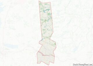
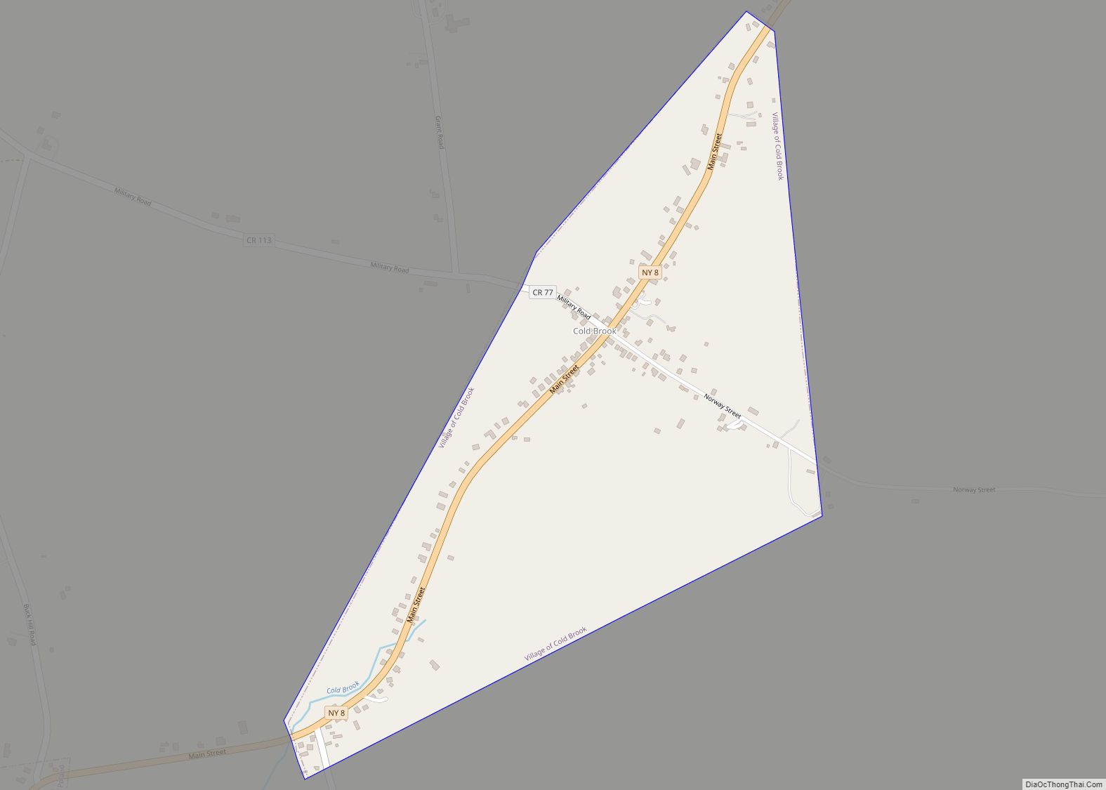
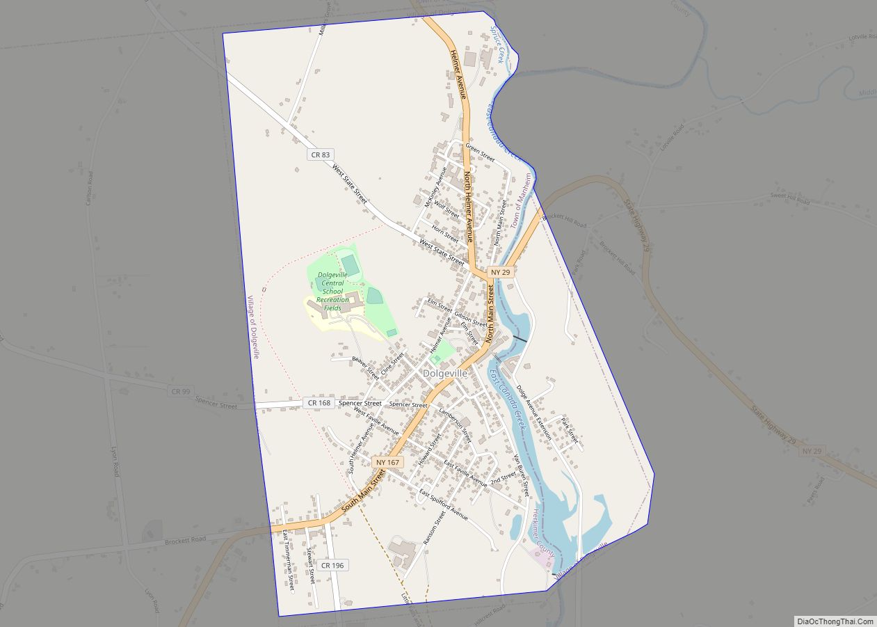
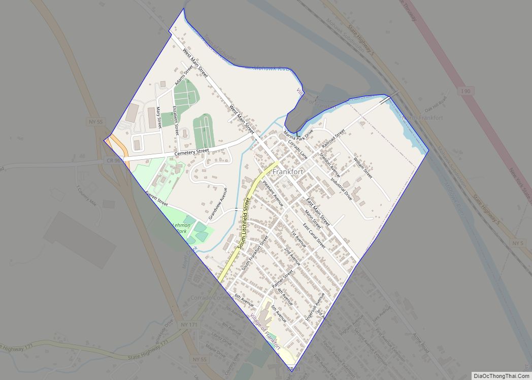
The city is located at the northeastern corner of the town of Little Falls and is east of Utica.
Little Falls has a picturesque location on the slope of a narrow and rocky defile, through which the Mohawk River falls 45 feet (14 m) in less than a mile (1.6 km), forming a number of cascades.
| Name: | Little Falls city |
|---|---|
| LSAD Code: | 25 |
| LSAD Description: | city (suffix) |
| State: | New York |
| County: | Herkimer County |
| Elevation: | 420 ft (128 m) |
| Total Area: | 3.99 sq mi (10.33 km²) |
| Land Area: | 3.84 sq mi (9.94 km²) |
| Water Area: | 0.15 sq mi (0.39 km²) |
| Total Population: | 4,605 |
| Population Density: | 1,199.84/sq mi (463.23/km²) |
| ZIP code: | 13365 |
| Area code: | 315 |
| FIPS code: | 3642741 |
| GNISfeature ID: | 0955522 |
| Website: | www.cityoflittlefalls.net |
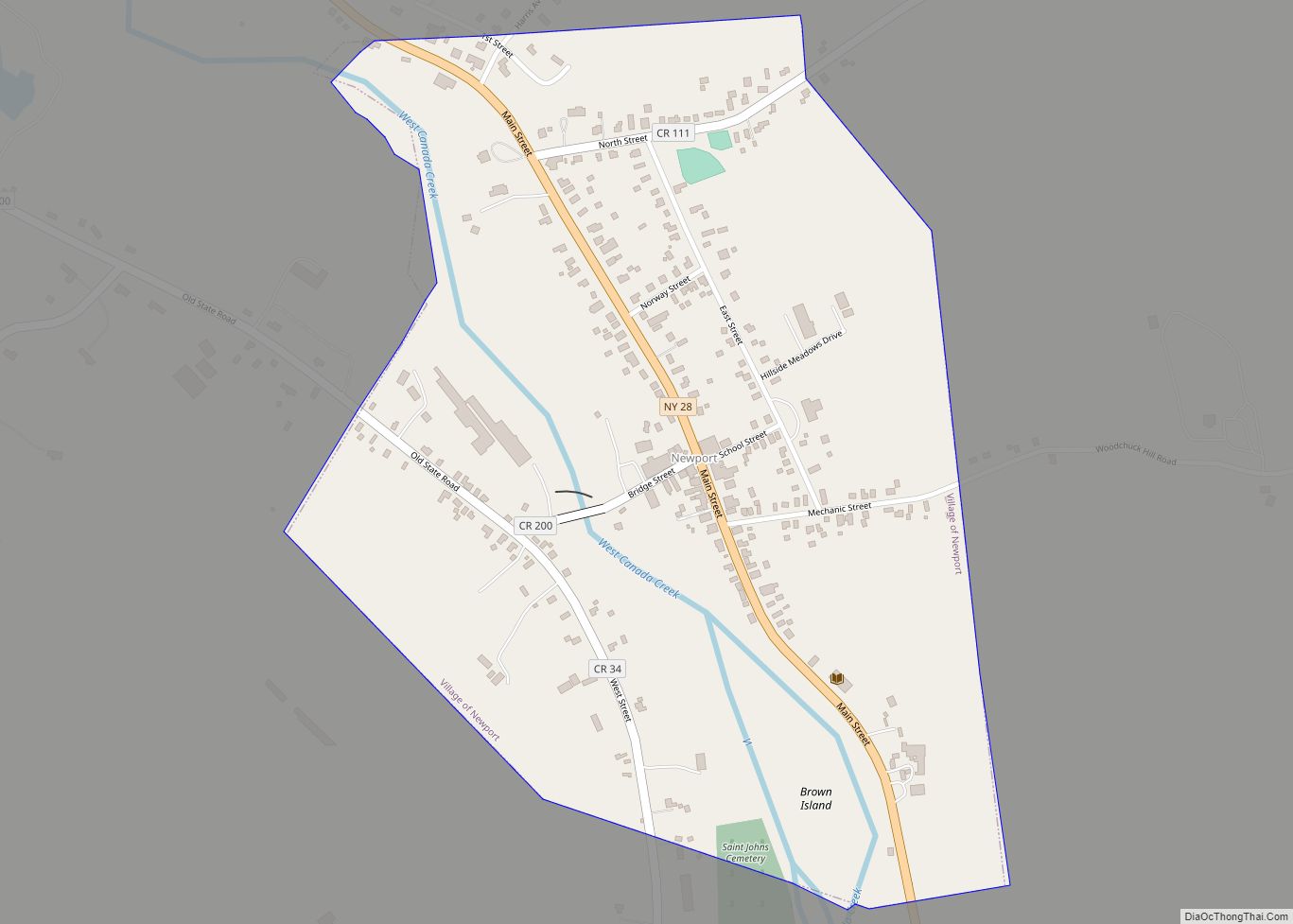
Online Interactive Map
Click on ![]() to view map in "full screen" mode.
to view map in "full screen" mode.
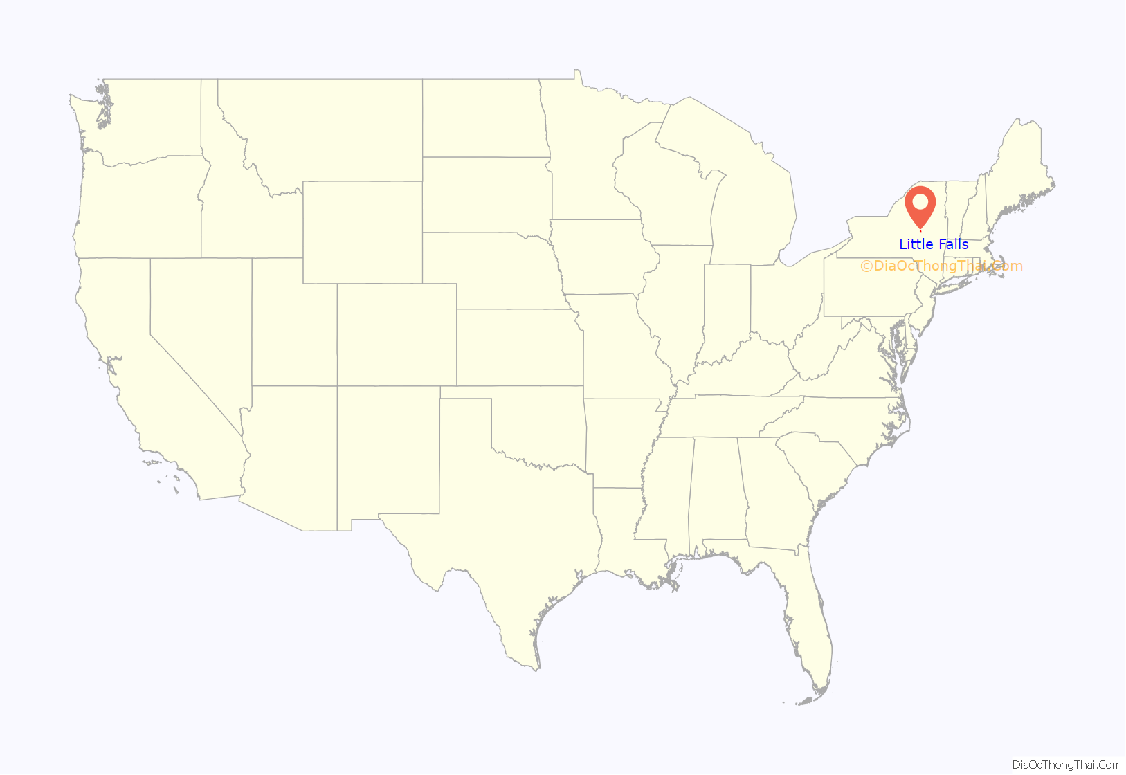
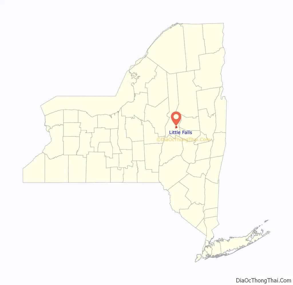
Little Falls location map. Where is Little Falls city?
History
Little Falls was first settled by Europeans around 1723, when German Palatines were granted land under the Burnetsfield Patent. It was then the westernmost European settlement in the colony of New York. The need to portage around the falls promoted a trading location on the site of the future city. It was the first settlement in the town. The settlers were attacked during the French and Indian War, but rebuilt their farms.
The small settlement here was destroyed by Iroquois Indians, mostly Mohawk, and Tories in June 1782. The village was not resettled until 1790, and it was known at times as “Rockton” and “Rock City.” Little Falls was incorporated as a village in 1811, and reincorporated in 1827. The City of Little Falls was chartered in 1895.
The Western Inland Canal (early attempt of the Erie Canal) was constructed in 1792 and helped the local economy. The Erie Canal, completed in 1825, passes through the city. Lock 17 of the New York State Erie Canal replaced the three locks of the original 1825 Erie Canal and is 40.5 feet (12.3 m) in height.
With dairy farms located throughout the town, Little Falls was a major center for the manufacturing of cheese in the third quarter of the 19th century. Its products were shipped to market in New York City and other major cities. In the 20th century it attracted immigrants from eastern and southern Europe, who worked in factories for textiles, gloves and other products.
In 1900, 10,381 people lived in Little Falls. It had its peak of population in 1920 with 13,029. Increasing urbanization of larger cities and the decline of manufacturing in the Mohawk Valley in mid-century have led to a decline in population.
In 1903, a westbound New York Central special newspaper train derailed due to excessive speed on a sharp curve killing the engine crew. In 1940, a much more serious crash at the same location of a fifteen car luxury passenger train killed 31.
In October 1912, workers at two textile mills in the city went on strike following a decrease in pay. The strike, led by the Industrial Workers of the World, lasted into the following year and saw a violent confrontation between strikers and police.
Little Falls Road Map

Little Falls city Satellite Map

Geography
According to the United States Census Bureau, the city has a total area of 4.0 square miles (10.3 km), of which 3.8 square miles (9.8 km) are land and 0.15 square miles (0.4 km), or 3.79%, are water. Little Falls is mostly on the north bank of the Mohawk River, near a waterfall which was smaller than another waterfall on the river in Cohoes. The cliff on the south bank of the Mohawk River in the city is known as Rollaway.
New York state routes 5, 167, 169 and 170 converge on Little Falls. NY 170 has its southern terminus in the city, while NY 169 has its southern terminus south of the city, in the town of Danube.
See also
Map of New York State and its subdivision:- Albany
- Allegany
- Bronx
- Broome
- Cattaraugus
- Cayuga
- Chautauqua
- Chemung
- Chenango
- Clinton
- Columbia
- Cortland
- Delaware
- Dutchess
- Erie
- Essex
- Franklin
- Fulton
- Genesee
- Greene
- Hamilton
- Herkimer
- Jefferson
- Kings
- Lake Ontario
- Lewis
- Livingston
- Madison
- Monroe
- Montgomery
- Nassau
- New York
- Niagara
- Oneida
- Onondaga
- Ontario
- Orange
- Orleans
- Oswego
- Otsego
- Putnam
- Queens
- Rensselaer
- Richmond
- Rockland
- Saint Lawrence
- Saratoga
- Schenectady
- Schoharie
- Schuyler
- Seneca
- Steuben
- Suffolk
- Sullivan
- Tioga
- Tompkins
- Ulster
- Warren
- Washington
- Wayne
- Westchester
- Wyoming
- Yates
- Alabama
- Alaska
- Arizona
- Arkansas
- California
- Colorado
- Connecticut
- Delaware
- District of Columbia
- Florida
- Georgia
- Hawaii
- Idaho
- Illinois
- Indiana
- Iowa
- Kansas
- Kentucky
- Louisiana
- Maine
- Maryland
- Massachusetts
- Michigan
- Minnesota
- Mississippi
- Missouri
- Montana
- Nebraska
- Nevada
- New Hampshire
- New Jersey
- New Mexico
- New York
- North Carolina
- North Dakota
- Ohio
- Oklahoma
- Oregon
- Pennsylvania
- Rhode Island
- South Carolina
- South Dakota
- Tennessee
- Texas
- Utah
- Vermont
- Virginia
- Washington
- West Virginia
- Wisconsin
- Wyoming