Oneida County is a county in the state of New York, United States. As of the 2020 census, the population was 232,125. The county seat is Utica. The name is in honor of the Oneida, one of the Five Nations of the Iroquois League or Haudenosaunee, which had long occupied this territory at the time of European encounter and colonization. The federally recognized Oneida Indian Nation has had a reservation in the region since the late 18th century, after the American Revolutionary War.
Oneida County is part of the Utica–Rome, NY Metropolitan Statistical Area.
| Name: | Oneida County |
|---|---|
| FIPS code: | 36-065 |
| State: | New York |
| Founded: | 1798 |
| Named for: | Oneida people |
| Seat: | Utica |
| Largest city: | Utica |
| Total Area: | 1,258 sq mi (3,260 km²) |
| Land Area: | 1,212 sq mi (3,140 km²) |
| Total Population: | 232,125 |
| Population Density: | 191.5/sq mi (73.9/km²) |
| Time zone: | UTC−5 (Eastern) |
| Summer Time Zone (DST): | UTC−4 (EDT) |
| Website: | ocgov.net |
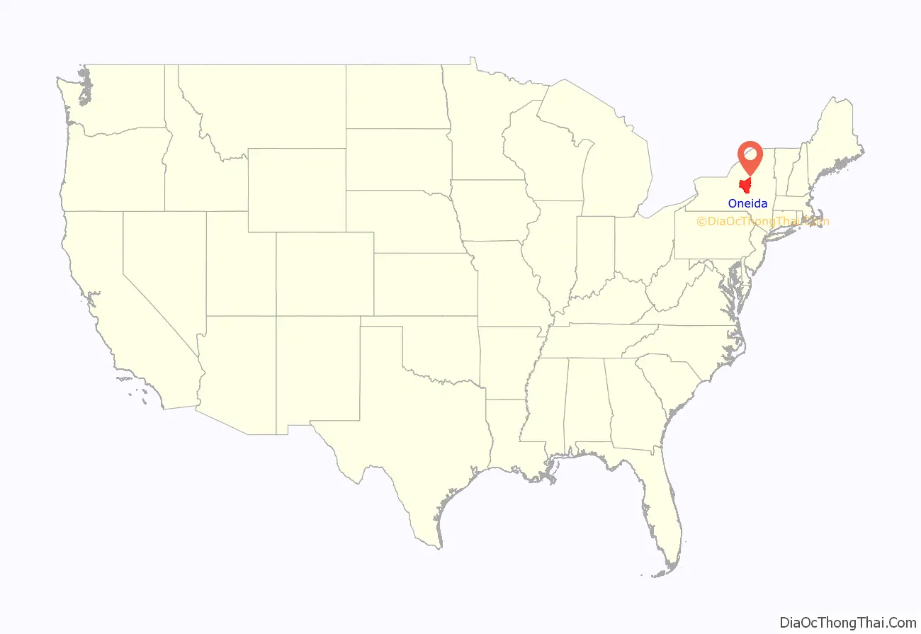
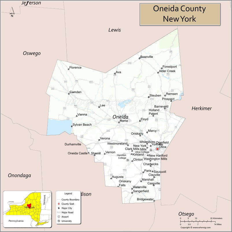
Oneida County location map. Where is Oneida County?
History
When England established colonial counties in the Province of New York in 1683, the territory of present Oneida County was included in a very large, mostly undeveloped Albany County. This county included the northern part of present-day New York State as well as all of the present state of Vermont and, in theory, extended westward to the Pacific Ocean. This county was reduced in size on July 3, 1766, to create Cumberland County, and further on March 16, 1770, by the creation of Gloucester County, both containing territory now in Vermont.
On March 12, 1772, what was left of Albany County was split into three parts, one remaining under the name Albany County. Tryon County contained the western portion (and thus, since no western boundary was specified, theoretically still extended west to the Pacific). The eastern boundary of Tryon County was approximately five miles west of the present city of Schenectady in the Mohawk River Valley, and the county included the western part of the Adirondack Mountains and the area west of the West Branch of the Delaware River. Tryon County was later divided to organize 37 distinct counties of New York State. The county was named for William Tryon, colonial governor of New York.
During and after the Revolution, most of the Loyalists in Tryon County fled to Canada. In 1784, following the peace treaty that ended the American Revolutionary War, Americans changed the name of Tryon County to Montgomery County to honor the general, Richard Montgomery, who had captured several places in Canada and died attempting to capture the city of Quebec. They replaced the name of the British governor.
In 1789, Montgomery County was reduced by the splitting off of Ontario County from Montgomery. The area taken from Montgomery County contained all of present-day Allegany, Cattaraugus, Chautauqua, Erie, Genesee, Livingston, Monroe, Niagara, Orleans, Steuben, Wyoming, Yates, and part of Schuyler and Wayne counties, as well as Ontario County.
After continued new settlement, in 1791 Herkimer County was one of three counties taken from Montgomery (the other two being Otsego, and Tioga County). It was much larger than the present Herkimer County, however, and was reduced by a number of subsequent splits.
In 1794, Herkimer County was reduced in size by the creation of Onondaga County. This county was larger than the current Onondaga County, including the present Cayuga, Cortland, and part of Oswego counties.
In 1798, Oneida County was created from another part of Herkimer County. This county was larger than the current Oneida County, as it included the present-day Jefferson (which extends along Lake Ontario), Lewis, and part of Oswego counties.
In 1805, Jefferson and Lewis counties were split off from Oneida. In 1816, parts of Oneida and Onondaga counties were taken to form the new Oswego County.
In 1848, John Humphrey Noyes founded a religious and Utopian community, the Oneida Community, near Oneida. Its unconventional views on religion and relations between the sexes generated much controversy. The community lasted until 1881. The Oneida Silver Company was founded here to manufacture sterling silver, silverplate holloware and, later, stainless steel flatware.
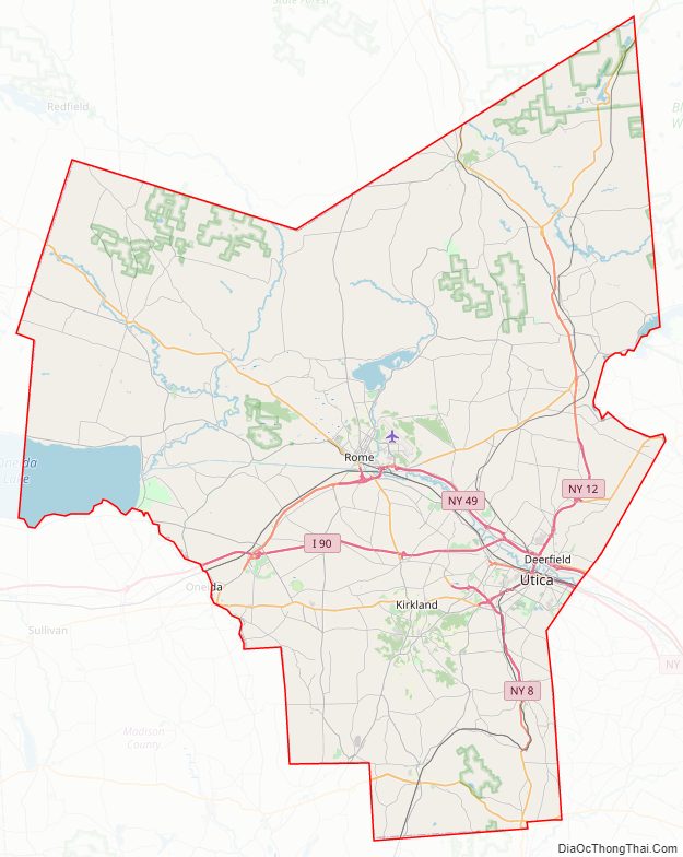
Oneida County Road Map
Geography
According to the U.S. Census Bureau, the county has a total area of 1,258 square miles (3,260 km), of which 1,212 square miles (3,140 km) is land and 45 square miles (120 km) (3.6%) is water.
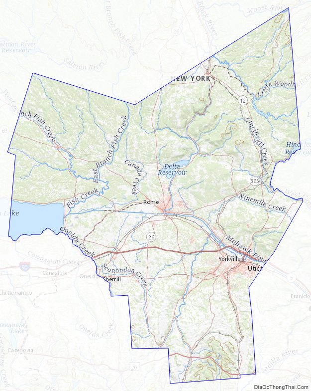
Oneida County is in the central portion of New York State, east of Syracuse, and west of Albany. Oneida Lake is on the northwestern corner of the county, and the Adirondack Park is on the northeast. Part of the Tug Hill Plateau is in the northern part of the county. Oneida County’s highest point lies neither on the plateau nor in the Adirondack Park, but in the county’s southern extremity. The peak’s name is Tassel Hill. It is located slightly southeast of Hardscrabble Road (Tassel Hill Road), between the villages of Waterville and Cassville.
The Erie Canal, completed in 1825, runs east–west along the Mohawk River through the county. It stimulated considerable trade and settlement. Oneida Lake and Oneida Creek form part of the western boundary.
In the early 21st century, Oneida is the only county in New York state documented as having Chronic wasting disease among its wild White-tailed deer.
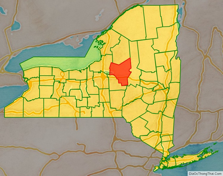
Adjacent counties
- Lewis County – north
- Herkimer County – east
- Otsego County – southeast
- Madison County – southwest
- Oswego County – west
National protected area
- Fort Stanwix National Monument
Oneida County Topographic Map
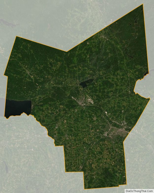
Oneida County Satellite Map
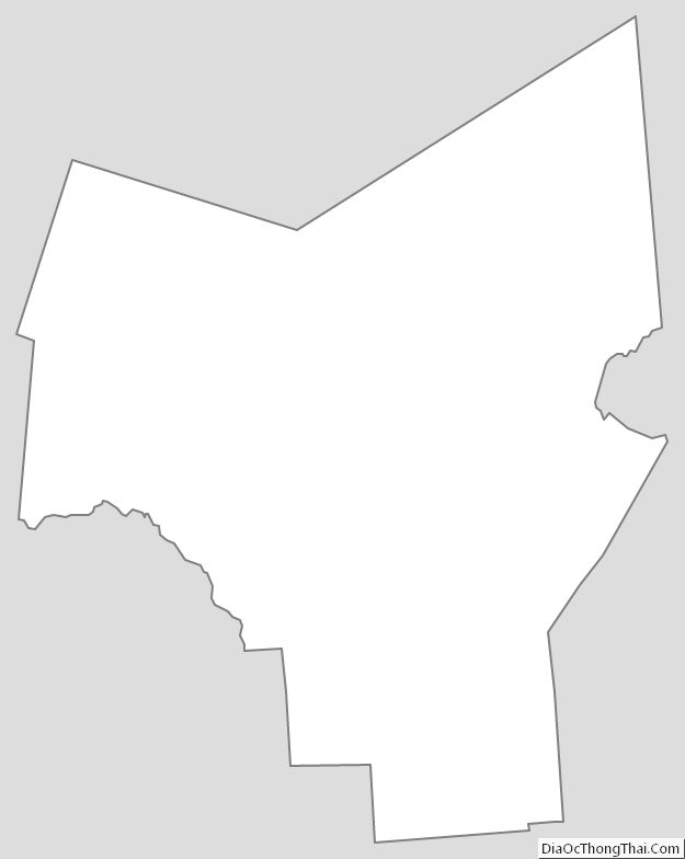
Oneida County Outline Map