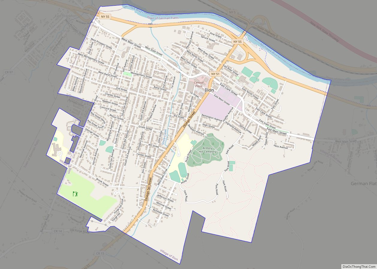
Ilion is a village in Herkimer County, New York, United States. The population was 7,790 at the 2017 census.
The village is at the northern edge of the town of German Flatts, though a tiny portion is in the town of Frankfort. It is south of the Mohawk River and Erie Canal.
| Name: | Ilion village |
|---|---|
| LSAD Code: | 47 |
| LSAD Description: | village (suffix) |
| State: | New York |
| County: | Herkimer County |
| Elevation: | 407 ft (124 m) |
| Total Area: | 2.55 sq mi (6.61 km²) |
| Land Area: | 2.49 sq mi (6.46 km²) |
| Water Area: | 0.06 sq mi (0.15 km²) |
| Total Population: | 7,646 |
| Population Density: | 3,066.99/sq mi (1,184.21/km²) |
| ZIP code: | 13357 |
| Area code: | 315 |
| FIPS code: | 3637275 |
| GNISfeature ID: | 0953587 |
| Website: | ilionny.com |
Online Interactive Map
Click on ![]() to view map in "full screen" mode.
to view map in "full screen" mode.
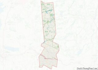
Ilion location map. Where is Ilion village?


History
“Ilion” is a name for the ancient city of Troy. The area where Ilion is located was first settled by Palatine Germans under the Burnetsfield Patent around 1725. Settlers first took plots along Steele Creek, which flows into the Mohawk River. Gradually they built many mills along the creek. After the American Revolution, a small community was set up in the area named “New London”. This area of the village still has buildings which use the name “London”.
The community began to flourish starting around 1816 when Eliphalet Remington created his first rifle. He developed the Remington Arms manufacturing company. The community was stimulated in growth by the completion in 1825 of the Erie Canal, which completed area trade and connection with products from the Great Lakes region.
In 1843 a post office was desired, so the people had to choose a name. Remington refused to be the namesake of the village, and it was eventually named Ilion. A popular, yet unverified rumor is that the application said “Illium”, but due to a misspelling or bad penmanship was interpreted as “Ilion”.
The village of Ilion was incorporated in 1852. Ilion is one of only twelve villages in New York still incorporated under a charter, the others having incorporated or re-incorporated under the provisions of Village Law.
The current mayor is John Stephens.
The First United Methodist Church, Thomas Richardson House, Remington Stables, and United States Post Office are listed on the National Register of Historic Places.
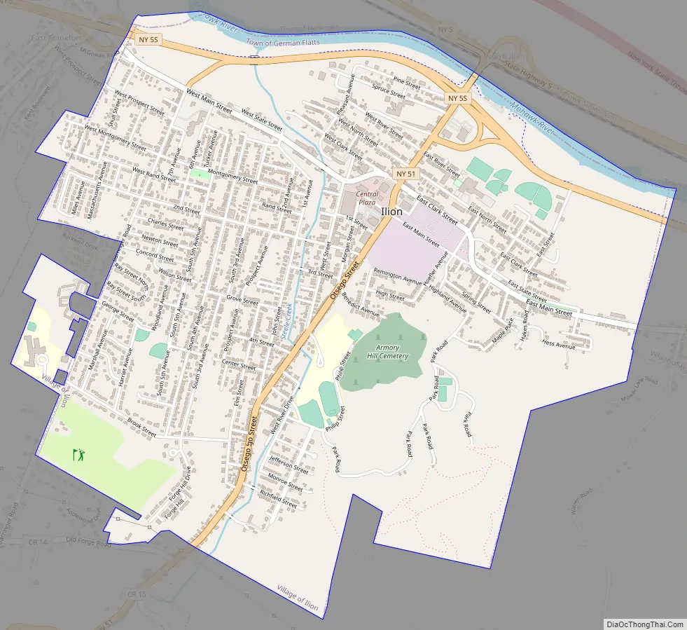
Ilion Road Map
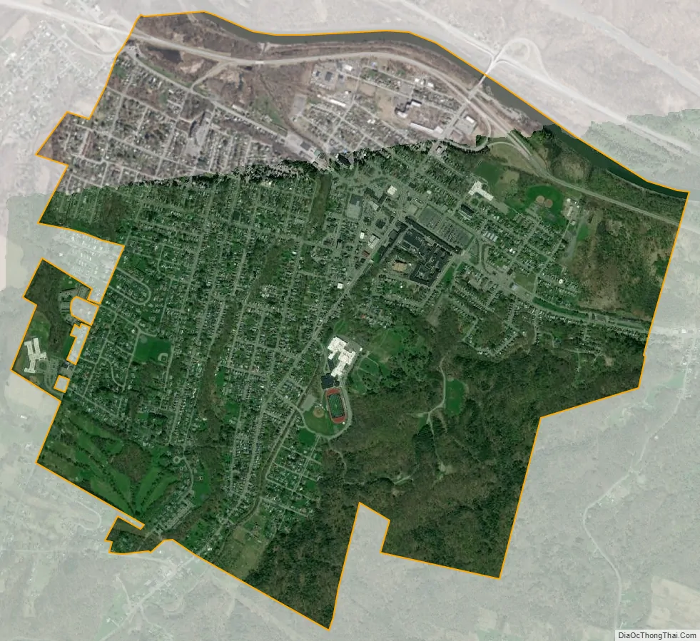
Ilion city Satellite Map
Geography
Ilion is located in the northwest corner of the town of German Flatts at 43°1′N 75°3′W / 43.017°N 75.050°W / 43.017; -75.050. According to the United States Census Bureau, the village has a total area of 2.5 square miles (6.6 km), of which 2.5 square miles (6.5 km) are land and 0.06 square miles (0.15 km), or 2.31%, are water. The village is on the south bank of the Mohawk River and is bordered to the east by the village of Mohawk.
New York State Route 5S, an east–west highway, passes through the northern side of the village. New York State Route 51 (Central Avenue/Otsego Street), a north–south highway, passes through the village center and has its northern terminus north of the village at New York State Route 5.
See also
Map of New York State and its subdivision:- Albany
- Allegany
- Bronx
- Broome
- Cattaraugus
- Cayuga
- Chautauqua
- Chemung
- Chenango
- Clinton
- Columbia
- Cortland
- Delaware
- Dutchess
- Erie
- Essex
- Franklin
- Fulton
- Genesee
- Greene
- Hamilton
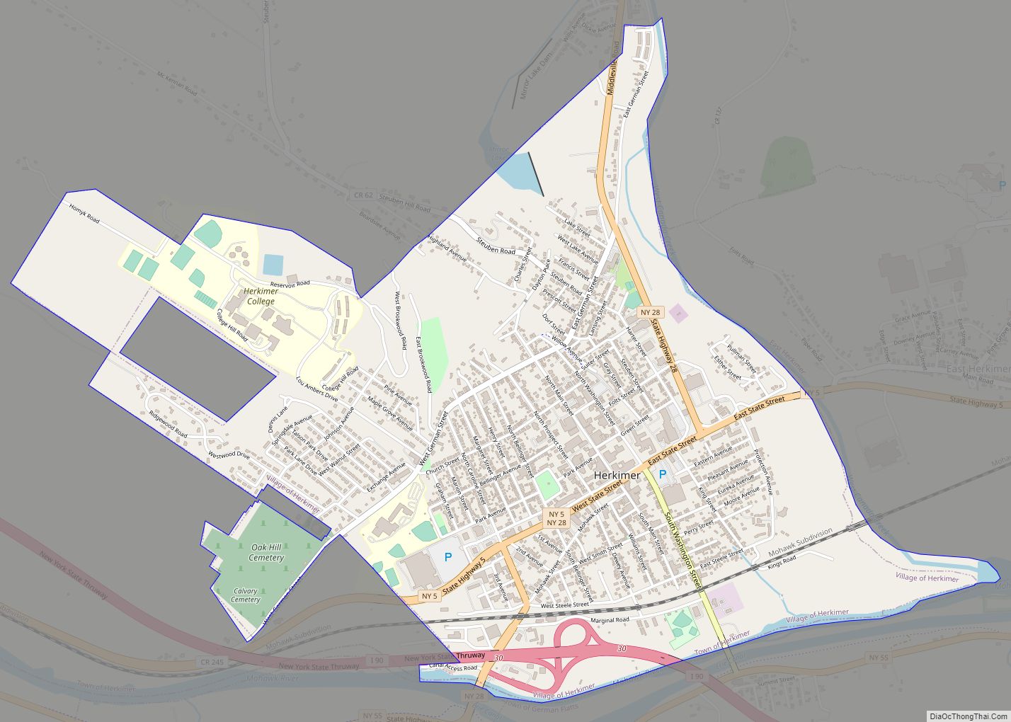
- Herkimer
- Jefferson
- Kings
- Lake Ontario
- Lewis
- Livingston
- Madison
- Monroe
- Montgomery
- Nassau
- New York
- Niagara
- Oneida
- Onondaga
- Ontario
- Orange
- Orleans
- Oswego
- Otsego
- Putnam
- Queens
- Rensselaer
- Richmond
- Rockland
- Saint Lawrence
- Saratoga
- Schenectady
- Schoharie
- Schuyler
- Seneca
- Steuben
- Suffolk
- Sullivan
- Tioga
- Tompkins
- Ulster
- Warren
- Washington
- Wayne
- Westchester
- Wyoming
- Yates
- Alabama
- Alaska
- Arizona
- Arkansas
- California
- Colorado
- Connecticut
- Delaware
- District of Columbia
- Florida
- Georgia
- Hawaii
- Idaho
- Illinois
- Indiana
- Iowa
- Kansas
- Kentucky
- Louisiana
- Maine
- Maryland
- Massachusetts
- Michigan
- Minnesota
- Mississippi
- Missouri
- Montana
- Nebraska
- Nevada
- New Hampshire
- New Jersey
- New Mexico
- New York
- North Carolina
- North Dakota
- Ohio
- Oklahoma
- Oregon
- Pennsylvania
- Rhode Island
- South Carolina
- South Dakota
- Tennessee
- Texas
- Utah
- Vermont
- Virginia
- Washington
- West Virginia
- Wisconsin
- Wyoming