Ahuimanu or ʻĀhuimanu (Hawaiian pronunciation: [ʔaːhuwiˈmɐnu]) is a census-designated place (CDP) in the City & County of Honolulu, Hawaii, United States, on the island of Oahu. In Hawaiian ʻāhui-manu means “cluster of birds”.
Ahuimanu is spread out beneath the steep windward pali (cliff face) of the Koolau mountain and separated by a low ridge from Heeia Kea. Thus, this area is mostly inland and not directly on Kaneohe Bay. However, one neighborhood spreads over the ridge and along Kamehameha Highway where there is private access to the bay shore. Proximity to the pali gives the place a generally wet climate. As of the 2010 Census, this largely residential area had a population of 8,810. A small commercial mall is located here across the highway from the Valley of the Temples Memorial Park, a large cemetery noted for its Byodo-In Temple.
The U.S. postal code for Ahuimanu is 96744.
| Name: | Ahuimanu CDP |
|---|---|
| LSAD Code: | 57 |
| LSAD Description: | CDP (suffix) |
| State: | Hawaii |
| County: | Honolulu County |
| Elevation: | 82 ft (25 m) |
| Total Area: | 2.69 sq mi (6.98 km²) |
| Land Area: | 2.69 sq mi (6.98 km²) |
| Water Area: | 0.00 sq mi (0.00 km²) |
| Total Population: | 8,969 |
| Population Density: | 3,329.25/sq mi (1,285.20/km²) |
| ZIP code: | 96744 |
| Area code: | 808 |
| FIPS code: | 1500400 |
| GNISfeature ID: | 0358445 |
Online Interactive Map
Click on ![]() to view map in "full screen" mode.
to view map in "full screen" mode.
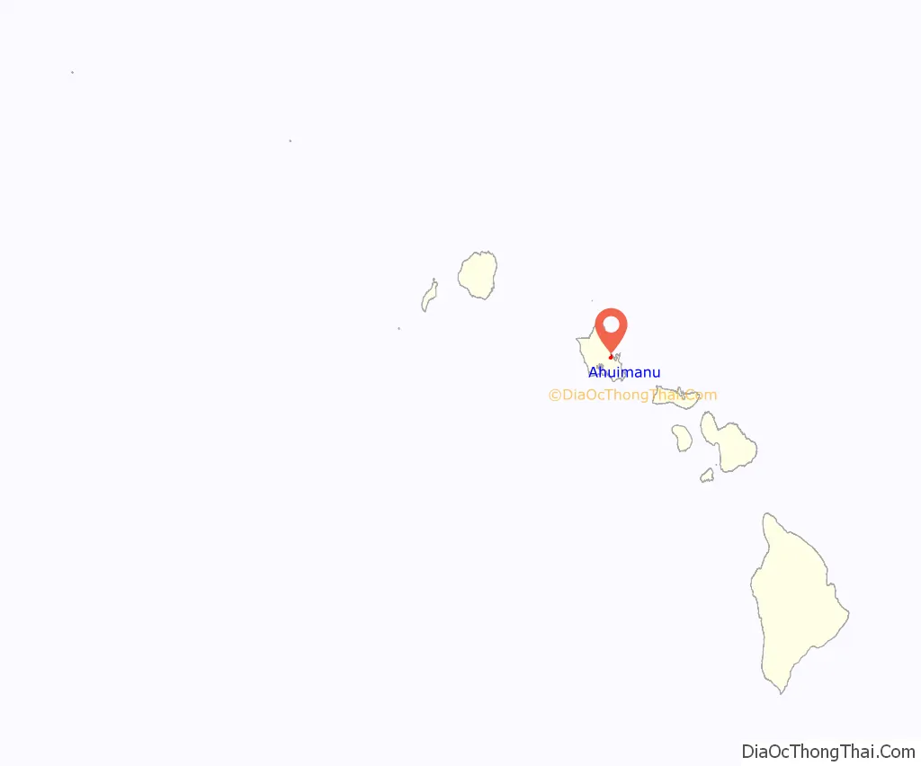
Ahuimanu location map. Where is Ahuimanu CDP?
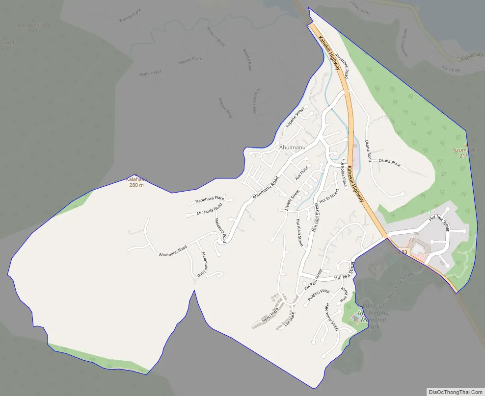
Ahuimanu Road Map
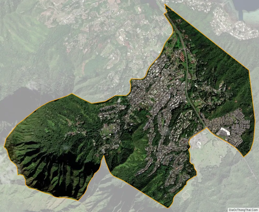
Ahuimanu city Satellite Map
Geography
Ahuimanu is located at on the east side of Oahu 21°26′36″N 157°50′24″W / 21.44333°N 157.84000°W / 21.44333; -157.84000 (21.443273, -157.840111). Nearby communities include Heeia and Kaneohe to the south along State Route 83 (the Kahekili Highway), and Kahaluu, with which it merges to the north.
According to the United States Census Bureau, the CDP has a total area of 2.7 square miles (7.0 km), all land.
See also
Map of Hawaii State and its subdivision: Map of other states:- Alabama
- Alaska
- Arizona
- Arkansas
- California
- Colorado
- Connecticut
- Delaware
- District of Columbia
- Florida
- Georgia
- Hawaii
- Idaho
- Illinois
- Indiana
- Iowa
- Kansas
- Kentucky
- Louisiana
- Maine
- Maryland
- Massachusetts
- Michigan
- Minnesota
- Mississippi
- Missouri
- Montana
- Nebraska
- Nevada
- New Hampshire
- New Jersey
- New Mexico
- New York
- North Carolina
- North Dakota
- Ohio
- Oklahoma
- Oregon
- Pennsylvania
- Rhode Island
- South Carolina
- South Dakota
- Tennessee
- Texas
- Utah
- Vermont
- Virginia
- Washington
- West Virginia
- Wisconsin
- Wyoming


