East Honolulu is a census-designated place (CDP) located in Honolulu County, Hawaii, United States. As of the 2020 Census, the CDP had a population of 50,922, making it the 2nd most populated CDP in Hawaii, behind Honolulu.
| Name: | East Honolulu CDP |
|---|---|
| LSAD Code: | 57 |
| LSAD Description: | CDP (suffix) |
| State: | Hawaii |
| County: | Honolulu County |
| Total Area: | 34.45 sq mi (89.24 km²) |
| Land Area: | 23.01 sq mi (59.58 km²) |
| Water Area: | 11.45 sq mi (29.65 km²) |
| Total Population: | 50,922 |
| Population Density: | 2,213.42/sq mi (854.61/km²) |
| Area code: | 808 |
| FIPS code: | 1506290 |
| GNISfeature ID: | 2583416 |
Online Interactive Map
Click on ![]() to view map in "full screen" mode.
to view map in "full screen" mode.
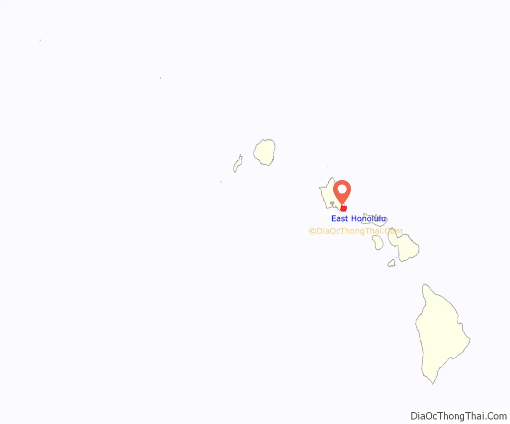
East Honolulu location map. Where is East Honolulu CDP?
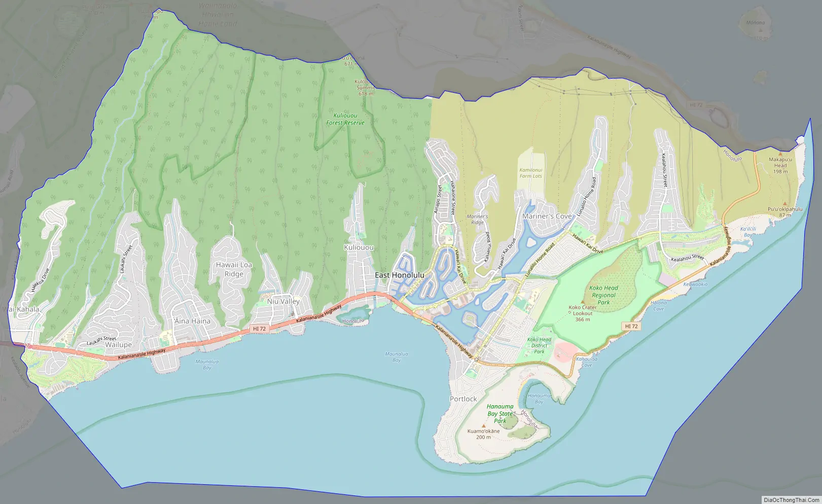
East Honolulu Road Map
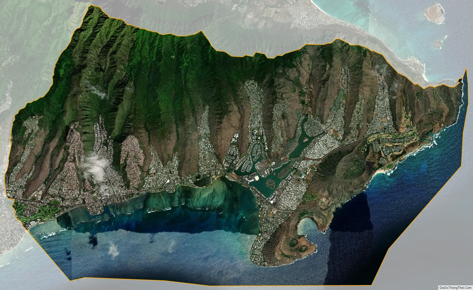
East Honolulu city Satellite Map
Geography
East Honolulu is centered on 21°17′20″N 157°43′2″W / 21.28889°N 157.71722°W / 21.28889; -157.71722 (21.2891, -157.7173). According to the United States Census Bureau, the CDP has a total area of 3.4 square miles (8.9 km), of which 2.3 square miles (6.0 km) is land and 1.2 square miles (3.0 km), or 33.22%, is water.
East Honolulu consists of the area directly east of the center of Honolulu, beginning at the Wai’alae Country Club and extending east to Makapu’u Point, the easternmost point on the island of Oahu. It consists of mostly upscale neighborhoods.
Areas:
- ʻĀina Haina
- Hawaii Kai
- Niu Valley
See also
Map of Hawaii State and its subdivision: Map of other states:- Alabama
- Alaska
- Arizona
- Arkansas
- California
- Colorado
- Connecticut
- Delaware
- District of Columbia
- Florida
- Georgia
- Hawaii
- Idaho
- Illinois
- Indiana
- Iowa
- Kansas
- Kentucky
- Louisiana
- Maine
- Maryland
- Massachusetts
- Michigan
- Minnesota
- Mississippi
- Missouri
- Montana
- Nebraska
- Nevada
- New Hampshire
- New Jersey
- New Mexico
- New York
- North Carolina
- North Dakota
- Ohio
- Oklahoma
- Oregon
- Pennsylvania
- Rhode Island
- South Carolina
- South Dakota
- Tennessee
- Texas
- Utah
- Vermont
- Virginia
- Washington
- West Virginia
- Wisconsin
- Wyoming


