ʻEwa Beach (/ɛvə/) or simply ʻEwa (Hawaiian pronunciation: [ˈʔɛvə]) is a census-designated place (CDP) located in ʻEwa District and the City & County of Honolulu along the coast of Māmala Bay on the leeward side of Oʻahu in Hawaii. As of the 2010 Census, the CDP had a total population of 14,955. The U.S. postal code for ʻEwa Beach is 96706.
| Name: | Ewa Beach CDP |
|---|---|
| LSAD Code: | 57 |
| LSAD Description: | CDP (suffix) |
| State: | Hawaii |
| County: | Honolulu County |
| Elevation: | 10 ft (3 m) |
| Total Area: | 1.63 sq mi (4.23 km²) |
| Land Area: | 1.19 sq mi (3.09 km²) |
| Water Area: | 0.44 sq mi (1.15 km²) |
| Total Population: | 16,415 |
| Population Density: | 13,782.54/sq mi (5,320.34/km²) |
| ZIP code: | 96706 |
| Area code: | 808 |
| FIPS code: | 1507450 |
| GNISfeature ID: | 0358767 |
Online Interactive Map
Click on ![]() to view map in "full screen" mode.
to view map in "full screen" mode.
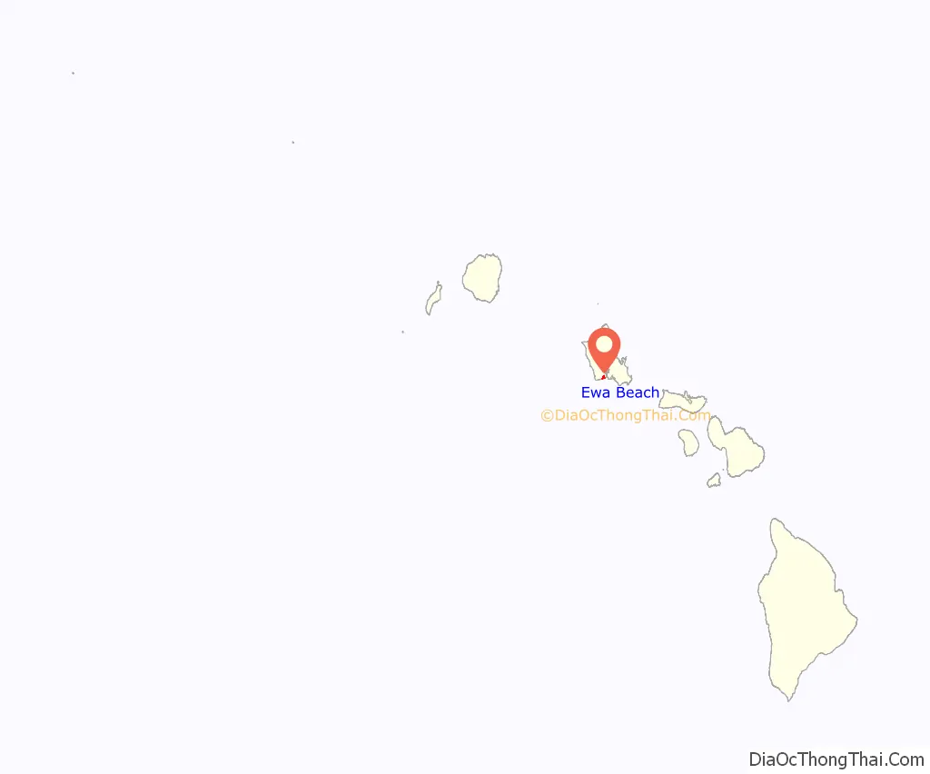
Ewa Beach location map. Where is Ewa Beach CDP?
History
The word ʻewa means “stray” in Hawaiian. The name comes from the myth that the gods Kāne and Kanaloa threw a stone to determine the boundaries, but it was lost and later found at Pili o Kahe. Hawaiian settlement on the ʻEwa Plain dates back at least to the 12th century C.E., at which time kanaka maoli expanded the main channel of Puʻuloa (Pearl Harbor) before creating fishponds and terraced agricultural fields in the surrounding area. Scholars have recognized ʻEwa’s ancient fishponds as exemplary evidence of Native Hawaiian ingenuity.
Before Ewa Beach became a town, it was first a huge plantation farm. With 11,000 acres (4,500 ha) of land sublet by Benjamin Dillingham, W.R. Lowrie became the first plantation manager in 1891, when Hawaiʻi was under the rule of Queen Liliʻuokalani. Ewa Beach is significant for its association with Ewa Sugar Plantation. Throughout the twentieth century, it played a very influential role in Hawaii’s culture, economy, and politics.
Along much of the South Shore of Oʻahu, ʻEwa is a reference to the direction of ʻEwa Beach, roughly westwards along the shore. Related terms are “mauka” (towards the mountains, roughly northwards), “makai” (towards the ocean, roughly south), and Diamond Head or Koko Head, roughly eastwards along the shore.
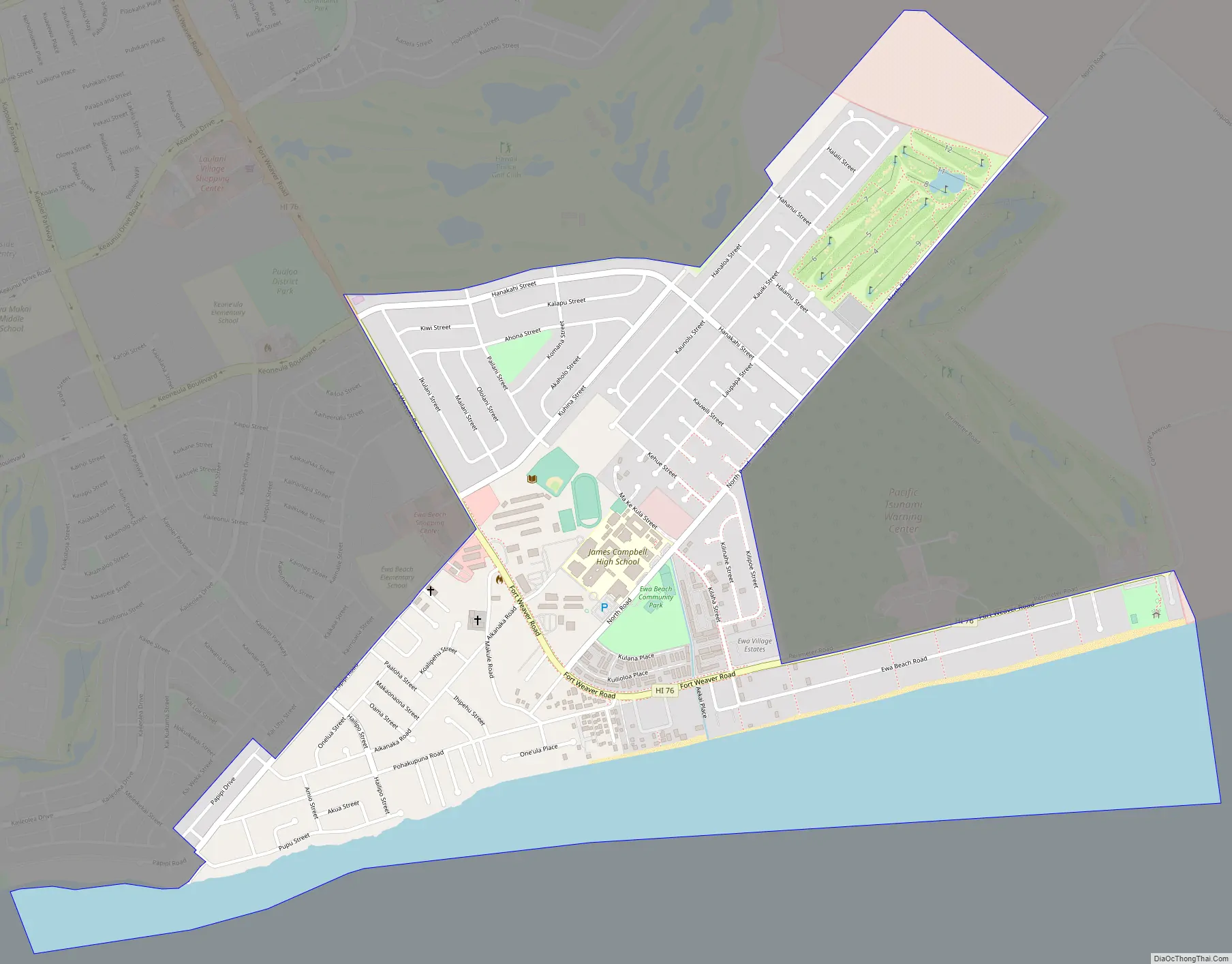
Ewa Beach Road Map
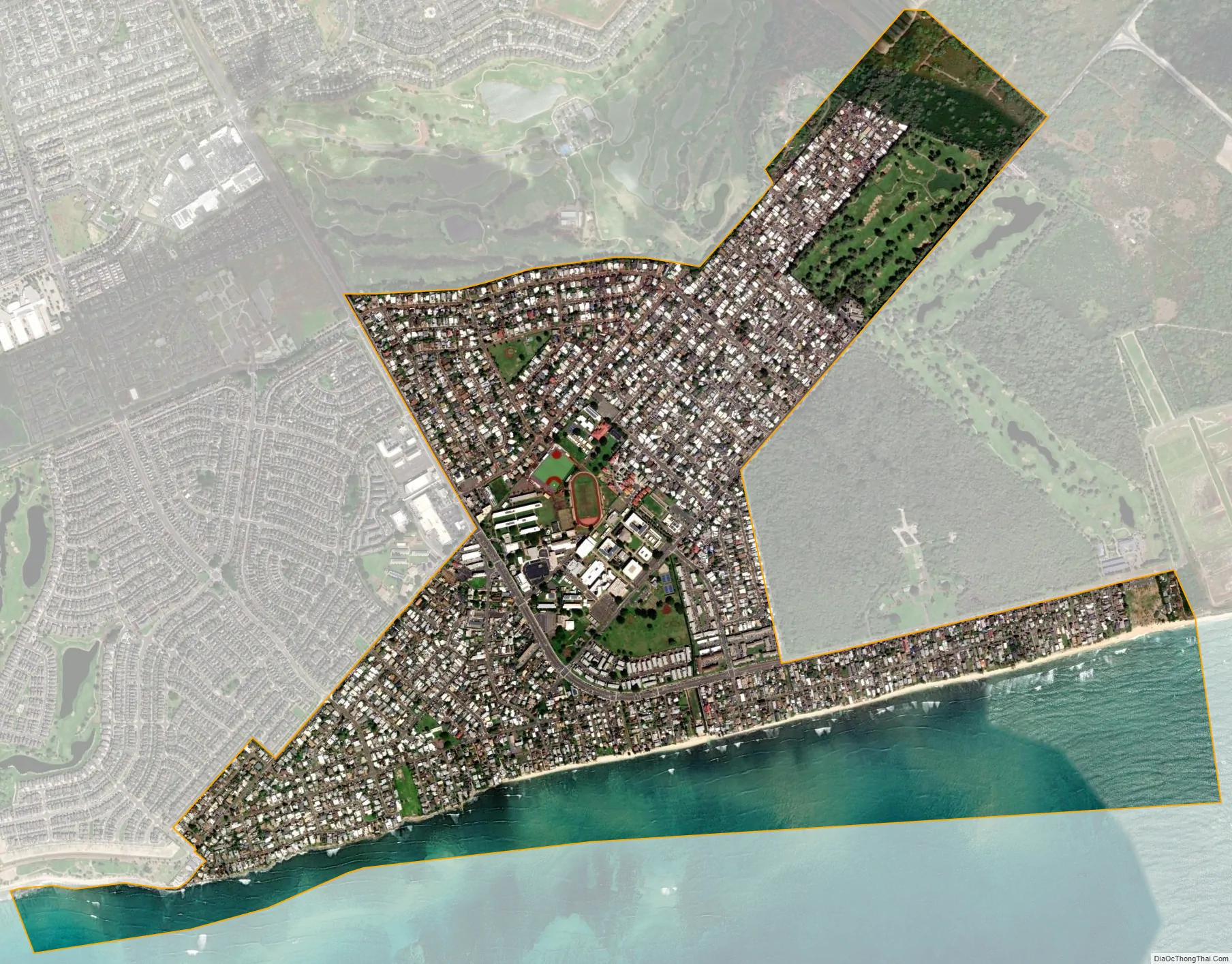
Ewa Beach city Satellite Map
Geography
ʻEwa Beach is located at 21°18’56” North, 158°0’26” West. The main thoroughfare is Fort Weaver Road (State Rte. 76) which runs north (away from the coast) past ʻEwa to Waipahu, connecting there to Farrington Highway (State Rte. 90) and the H-1 freeway.
According to the United States Census Bureau, the CDP has a total area of 1.9 square miles (4.9 km), of which 1.4 square miles (3.6 km) is land and 0.4 square miles (1.0 km) is water. The total area is 24.06% water, consisting entirely of the Pacific Ocean off the island shore.
The ʻEwa Beach CDP does not include Ocean Pointe, ʻEwa Gentry, Iroquois Point, or ʻEwa Villages, though these are included within the postal service’s ZIP code for the area.
See also
Map of Hawaii State and its subdivision: Map of other states:- Alabama
- Alaska
- Arizona
- Arkansas
- California
- Colorado
- Connecticut
- Delaware
- District of Columbia
- Florida
- Georgia
- Hawaii
- Idaho
- Illinois
- Indiana
- Iowa
- Kansas
- Kentucky
- Louisiana
- Maine
- Maryland
- Massachusetts
- Michigan
- Minnesota
- Mississippi
- Missouri
- Montana
- Nebraska
- Nevada
- New Hampshire
- New Jersey
- New Mexico
- New York
- North Carolina
- North Dakota
- Ohio
- Oklahoma
- Oregon
- Pennsylvania
- Rhode Island
- South Carolina
- South Dakota
- Tennessee
- Texas
- Utah
- Vermont
- Virginia
- Washington
- West Virginia
- Wisconsin
- Wyoming


