Heʻeia (Hawaiian pronunciation: [hɛˈʔɛjə]) is a census-designated place comprising several neighborhoods located in the City & County of Honolulu and the Koʻolaupoko District on the island of Oʻahu north of Kāneʻohe. In Hawaiian the words heʻe ʻia mean “washed away”, alluding to a victory achieved by the populace against others from leeward Oʻahu, aided by a tsunami that washed the combatants off the shore.
Heʻeia includes Haʻikū Valley and Heʻeia Kea. The population was 5,001 at the 2020 census. The area is almost entirely one of homes and apartments. Parts of Heʻeia lie along Kāneʻohe Bay, but public access is non-existent owing to private ownership of the property behind the shore.
Notable in the Heʻeia area are:
- Haʻikū Valley, a former United States Coast Guard radio transmitter site with the Haiku Stairs
- Site of the former receiving antenna tower for Station HYPO, the naval cryptanalytic station that did so much toward breaking Japanese naval codes in 1941-1942 that resulted in US victory in the Battle of Midway, seen by most historians as the turning point of the Pacific War. The site of their antenna was He’eia, NOT the site of Station HYPO itself. Station HYPO got its name from the phonetic for the letter “H”, because of He’eia where its antenna was sited
- Heʻeia Fishpond, the largest remaining fishpond on Oʻahu
Heʻeia Kea is a community and small, undeveloped valley separated from Heʻeia by Heʻeia Marsh and Kealohi Point. Heʻeia Kea Small Boat Harbor, the only public pier and boat ramp on Kāneʻohe Bay, is found here. Several fishponds have been restored in recent years. Although fishponds were developed on most of the islands, the largest concentrations were found in Keʻehi Lagoon, Pearl Harbor, and Kāneʻohe Bay on Oʻahu.
The U.S. ZIP code for Heʻeia and Heʻeia Kea is the same as for Kāneʻohe: 96744.
| Name: | Heeia CDP |
|---|---|
| LSAD Code: | 57 |
| LSAD Description: | CDP (suffix) |
| State: | Hawaii |
| County: | Honolulu County |
| Elevation: | 13 ft (4 m) |
| Total Area: | 3.45 sq mi (8.94 km²) |
| Land Area: | 3.20 sq mi (8.29 km²) |
| Water Area: | 0.25 sq mi (0.65 km²) |
| Total Population: | 5,001 |
| Population Density: | 1,562.32/sq mi (603.24/km²) |
| ZIP code: | 96744 |
| Area code: | 808 |
| FIPS code: | 1513900 |
| GNISfeature ID: | 0359149 |
Online Interactive Map
Click on ![]() to view map in "full screen" mode.
to view map in "full screen" mode.
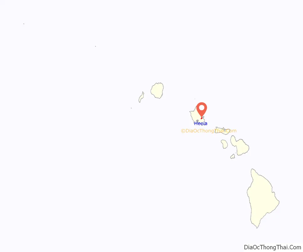
Heeia location map. Where is Heeia CDP?
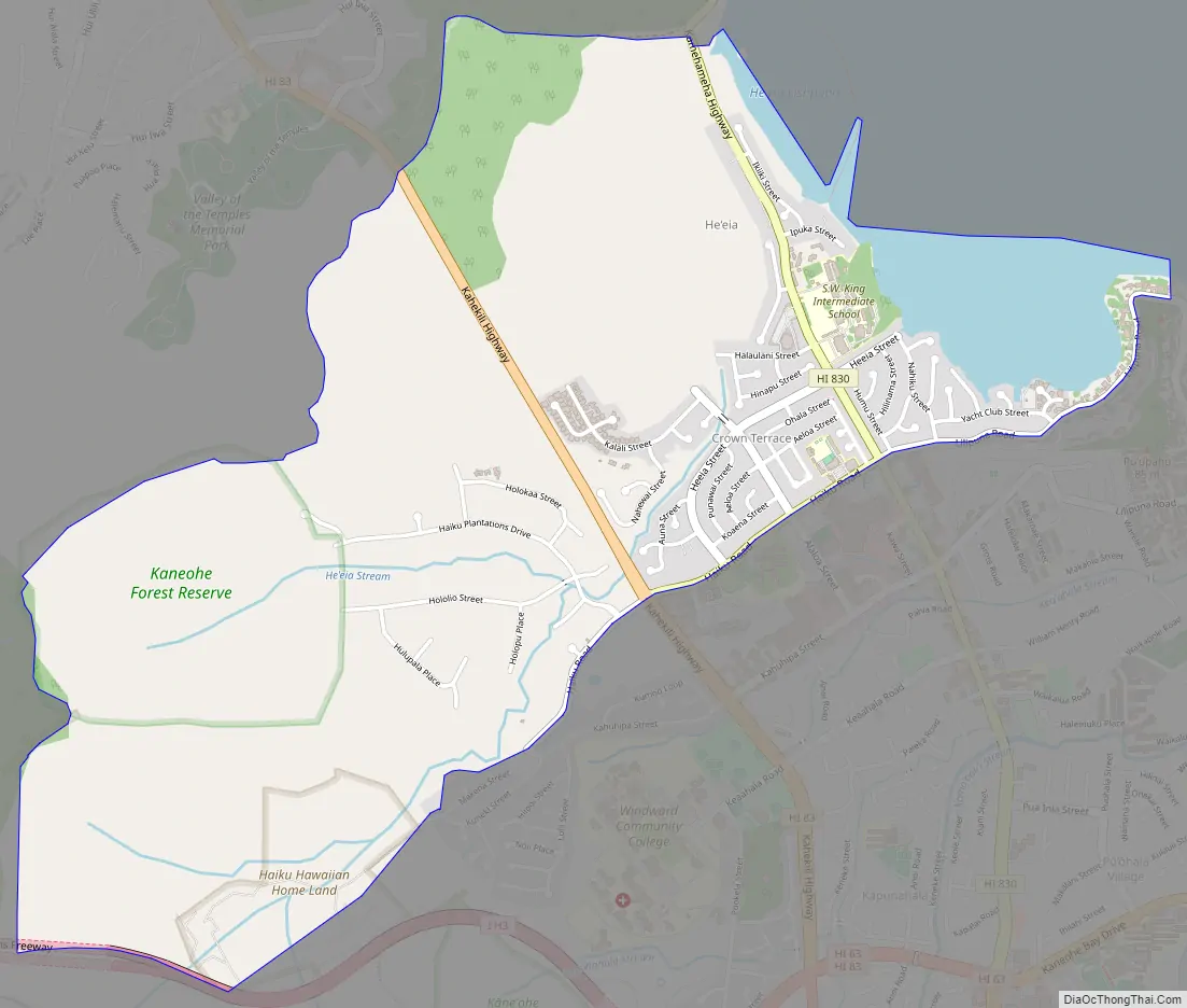
Heeia Road Map
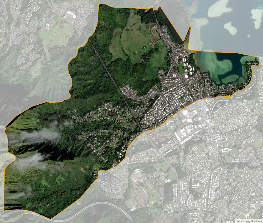
Heeia city Satellite Map
Geography
Heʻeia is located at 21°25′34″N 157°48′44″W / 21.42611°N 157.81222°W / 21.42611; -157.81222 (21.426200, -157.812248). Heʻeia is essentially part of Kāneʻohe, and the nearest town to the northwest is ʻĀhuimanu, reached by either Kahekili Highway (State Rte. 83) or Kamehameha Highway (State Rte. 830) along the coast.
According to the United States Census Bureau, the CDP has a total area of 3.4 square miles (8.7 km), of which 3.1 square miles (8.0 km) is land and 0.27 square miles (0.7 km) is water. The total area is 7.54% water.
See also
Map of Hawaii State and its subdivision: Map of other states:- Alabama
- Alaska
- Arizona
- Arkansas
- California
- Colorado
- Connecticut
- Delaware
- District of Columbia
- Florida
- Georgia
- Hawaii
- Idaho
- Illinois
- Indiana
- Iowa
- Kansas
- Kentucky
- Louisiana
- Maine
- Maryland
- Massachusetts
- Michigan
- Minnesota
- Mississippi
- Missouri
- Montana
- Nebraska
- Nevada
- New Hampshire
- New Jersey
- New Mexico
- New York
- North Carolina
- North Dakota
- Ohio
- Oklahoma
- Oregon
- Pennsylvania
- Rhode Island
- South Carolina
- South Dakota
- Tennessee
- Texas
- Utah
- Vermont
- Virginia
- Washington
- West Virginia
- Wisconsin
- Wyoming


