Kaʻaʻawa is a small community and census-designated place (CDP) located in the windward district of Koʻolauloa, City & County of Honolulu on the island of Oʻahu, Hawaiʻi, United States. As of the 2010 Census, the total population for Kaʻaʻawa was 1,379. In Hawaiian, kaʻaʻawa means “the wrasse (fish)”. From the Hawaiian spelling Kaʻaʻawa it is seen that each a is pronounced separately and distinctly, set apart by the two ʻokinas: [ˈkɐʔəˈʔɐvə] or [ˈkɐʔəˈʔɐwə].
Kaʻaʻawa is north of Kāneʻohe Bay (north of Kaʻōʻio Point, also Kalaeokaʻōʻio), and the Pacific Ocean shore here is fronted by a broad fringing reef with a narrow, but quite inviting beach (Kanenelu Beach, Kalaeʻōʻio Beach Park, and Kaʻaʻawa Beach Park). The around-the-island-highway (Kamehameha Highway, State Rte. 83) and the houses and other buildings comprising the town, are confined to a relatively narrow belt along the coast. However, a long valley extends inland. Kaʻaʻawa Valley is part of Kualoa Ranch and used for various tourist activities as well as filming. Major films and TV series incorporating significant views of the valley include George of the Jungle, Jurassic Park and Lost.
The U.S. postal code for Kaʻaʻawa is 96730.
| Name: | Kaaawa CDP |
|---|---|
| LSAD Code: | 57 |
| LSAD Description: | CDP (suffix) |
| State: | Hawaii |
| County: | Honolulu County |
| Elevation: | 6 ft (2 m) |
| Total Area: | 1.32 sq mi (3.42 km²) |
| Land Area: | 0.80 sq mi (2.06 km²) |
| Water Area: | 0.53 sq mi (1.36 km²) |
| Total Population: | 1,421 |
| Population Density: | 1,782.94/sq mi (688.30/km²) |
| ZIP code: | 96730 |
| Area code: | 808 |
| FIPS code: | 1519550 |
| GNISfeature ID: | 0359551 |
Online Interactive Map
Click on ![]() to view map in "full screen" mode.
to view map in "full screen" mode.
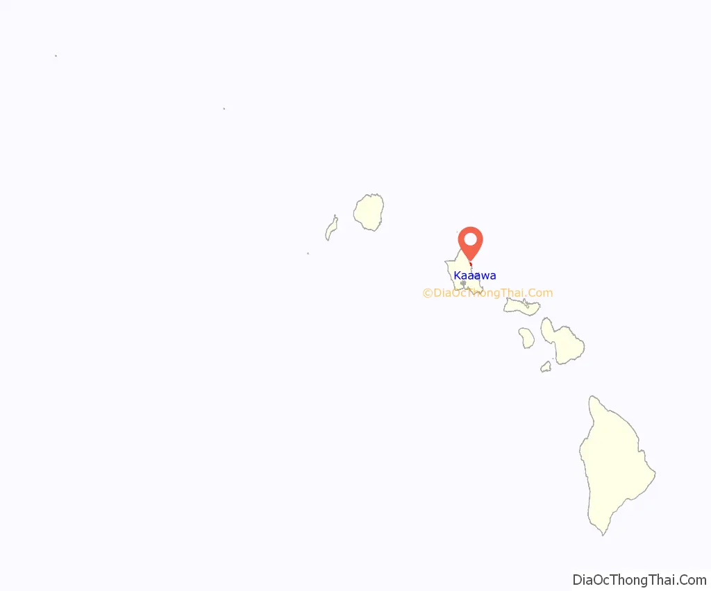
Kaaawa location map. Where is Kaaawa CDP?
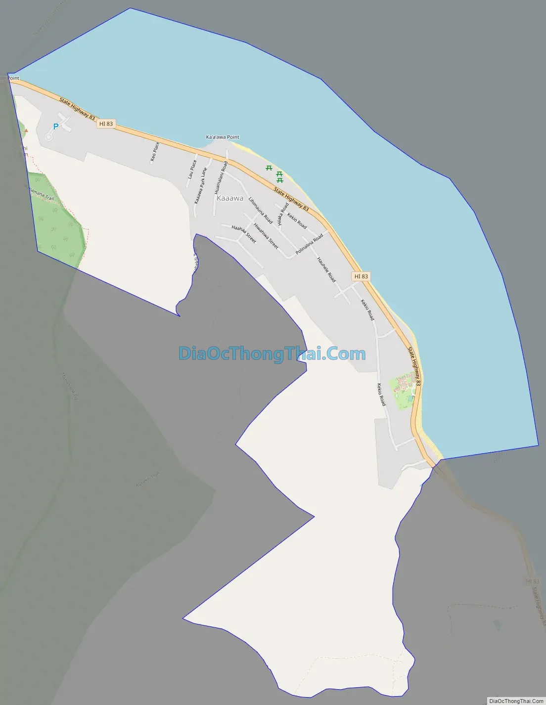
Kaaawa Road Map
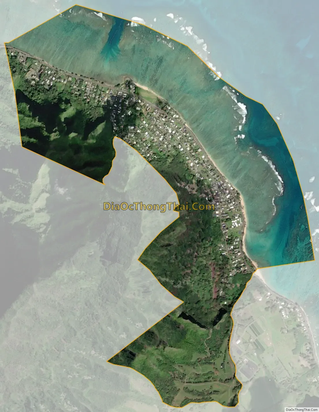
Kaaawa city Satellite Map
Geography
Kaʻaʻawa is located at 21°33′25″N 157°51′19″W / 21.55694°N 157.85528°W / 21.55694; -157.85528 (21.557050, -157.855148). Kaʻaʻawa is north of Kualoa and directly southeast of Kahana Bay. The next place beyond Kahana is Punaluʻu.
According to the United States Census Bureau, the CDP has a total area of 1.3 square miles (3.4 km). 0.81 square miles (2.1 km) of it is land, and 0.54 square miles (1.4 km) of it is water. The total area is 39.72% water.
See also
Map of Hawaii State and its subdivision: Map of other states:- Alabama
- Alaska
- Arizona
- Arkansas
- California
- Colorado
- Connecticut
- Delaware
- District of Columbia
- Florida
- Georgia
- Hawaii
- Idaho
- Illinois
- Indiana
- Iowa
- Kansas
- Kentucky
- Louisiana
- Maine
- Maryland
- Massachusetts
- Michigan
- Minnesota
- Mississippi
- Missouri
- Montana
- Nebraska
- Nevada
- New Hampshire
- New Jersey
- New Mexico
- New York
- North Carolina
- North Dakota
- Ohio
- Oklahoma
- Oregon
- Pennsylvania
- Rhode Island
- South Carolina
- South Dakota
- Tennessee
- Texas
- Utah
- Vermont
- Virginia
- Washington
- West Virginia
- Wisconsin
- Wyoming


