Kahaluʻu (/ˌkɑːhəˈluːʔuː/; Hawaiian pronunciation: [ˈkɐhɐˈluʔu]) is a residential community and census-designated place (CDP) in the City and County of Honolulu, Hawaii, United States, in the District of Koolaupoko on the island of Oahu. In Hawaiian ka haluʻu means “diving place”. As of the 2020 census, the CDP had a total population of 5,241.
| Name: | Kahaluu CDP |
|---|---|
| LSAD Code: | 57 |
| LSAD Description: | CDP (suffix) |
| State: | Hawaii |
| County: | Honolulu County |
| Elevation: | 7 ft (2 m) |
| Total Area: | 4.53 sq mi (11.72 km²) |
| Land Area: | 3.48 sq mi (9.02 km²) |
| Water Area: | 1.04 sq mi (2.70 km²) |
| Total Population: | 5,241 |
| Population Density: | 1,505.60/sq mi (581.27/km²) |
| ZIP code: | 96744 |
| Area code: | 808 |
| FIPS code: | 1521200 |
| GNISfeature ID: | 0359686 |
Online Interactive Map
Click on ![]() to view map in "full screen" mode.
to view map in "full screen" mode.
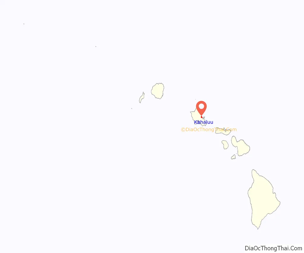
Kahaluu location map. Where is Kahaluu CDP?
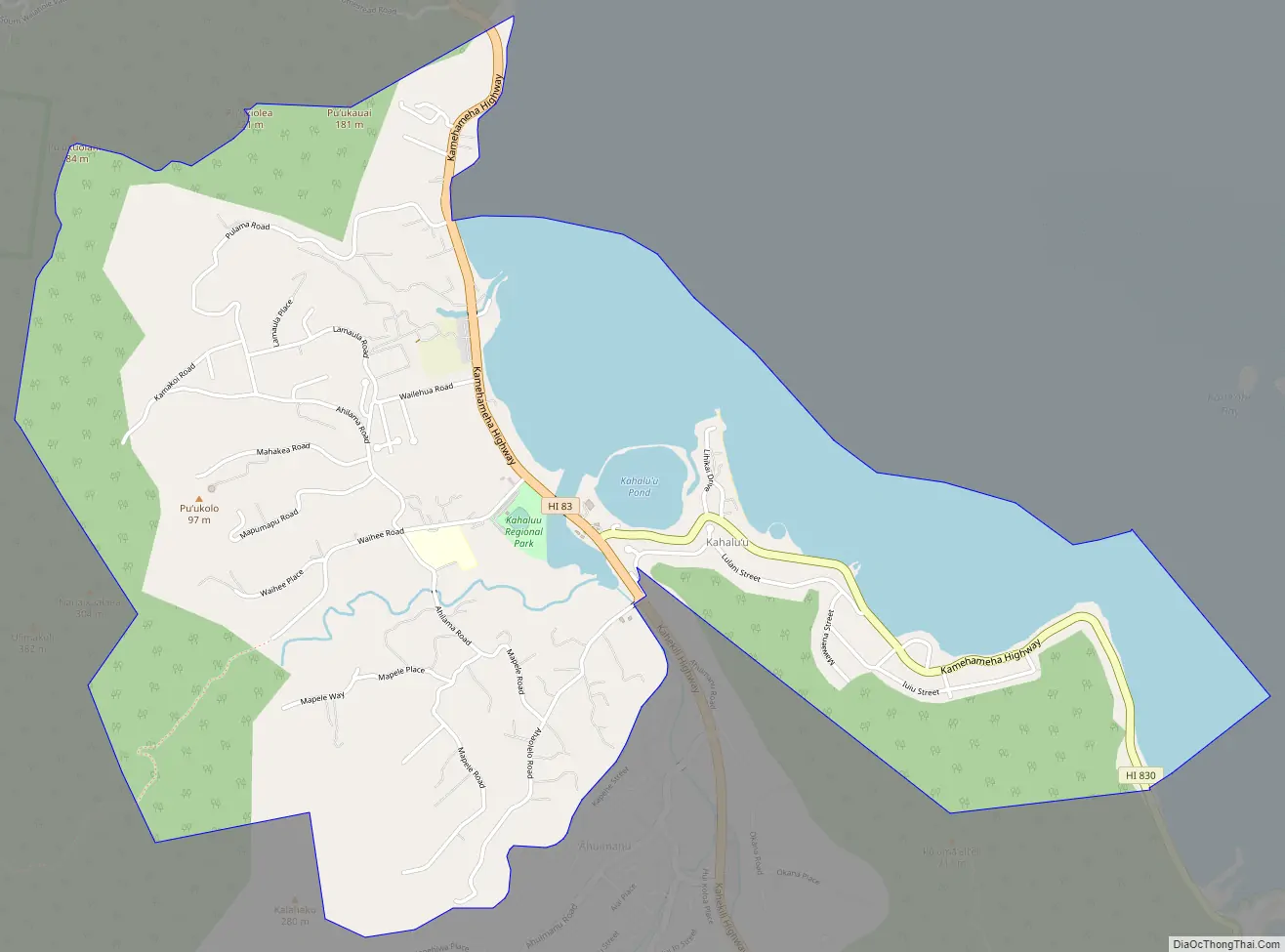
Kahaluu Road Map
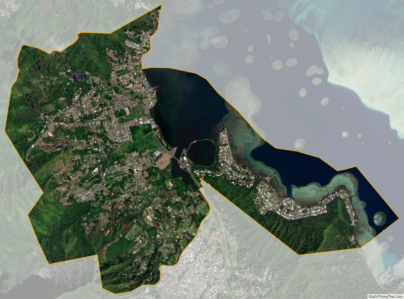
Kahaluu city Satellite Map
Geography
Kahaluʻu is located at 21°27′40″N 157°50′28″W / 21.46111°N 157.84111°W / 21.46111; -157.84111 (21.461146, -157.841155). It is directly adjacent to Ahuimanu to the south and Waiahole to the north.
According to the United States Census Bureau, the CDP has a total area of 4.5 square miles (11.7 km), of which 3.5 square miles (9.0 km) is land and 1.0 square mile (2.7 km) is water. The total area is 23.07% water.
See also
Map of Hawaii State and its subdivision: Map of other states:- Alabama
- Alaska
- Arizona
- Arkansas
- California
- Colorado
- Connecticut
- Delaware
- District of Columbia
- Florida
- Georgia
- Hawaii
- Idaho
- Illinois
- Indiana
- Iowa
- Kansas
- Kentucky
- Louisiana
- Maine
- Maryland
- Massachusetts
- Michigan
- Minnesota
- Mississippi
- Missouri
- Montana
- Nebraska
- Nevada
- New Hampshire
- New Jersey
- New Mexico
- New York
- North Carolina
- North Dakota
- Ohio
- Oklahoma
- Oregon
- Pennsylvania
- Rhode Island
- South Carolina
- South Dakota
- Tennessee
- Texas
- Utah
- Vermont
- Virginia
- Washington
- West Virginia
- Wisconsin
- Wyoming


