Makakilo (Hawaiian pronunciation: [məkəˈtilo]) or Makakilo City is a census-designated place and residential area located in the ʻEwa District on the island of Oʻahu in the City & County of Honolulu, United States. In Hawaiian, maka kilo means “observing eyes”. As of the 2020 census, the CDP had a population of 19,877.
| Name: | Makakilo CDP |
|---|---|
| LSAD Code: | 57 |
| LSAD Description: | CDP (suffix) |
| State: | Hawaii |
| County: | Honolulu County |
| Elevation: | 600 ft (200 m) |
| Total Area: | 3.82 sq mi (9.90 km²) |
| Land Area: | 3.82 sq mi (9.90 km²) |
| Water Area: | 0.00 sq mi (0.00 km²) |
| Total Population: | 19,877 |
| Population Density: | 5,202.04/sq mi (2,008.73/km²) |
| ZIP code: | 96707 |
| Area code: | 808 |
| FIPS code: | 1547600 |
Online Interactive Map
Click on ![]() to view map in "full screen" mode.
to view map in "full screen" mode.
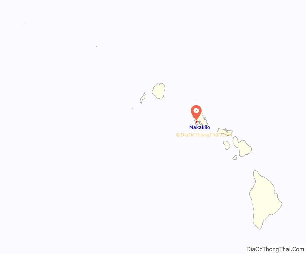
Makakilo location map. Where is Makakilo CDP?
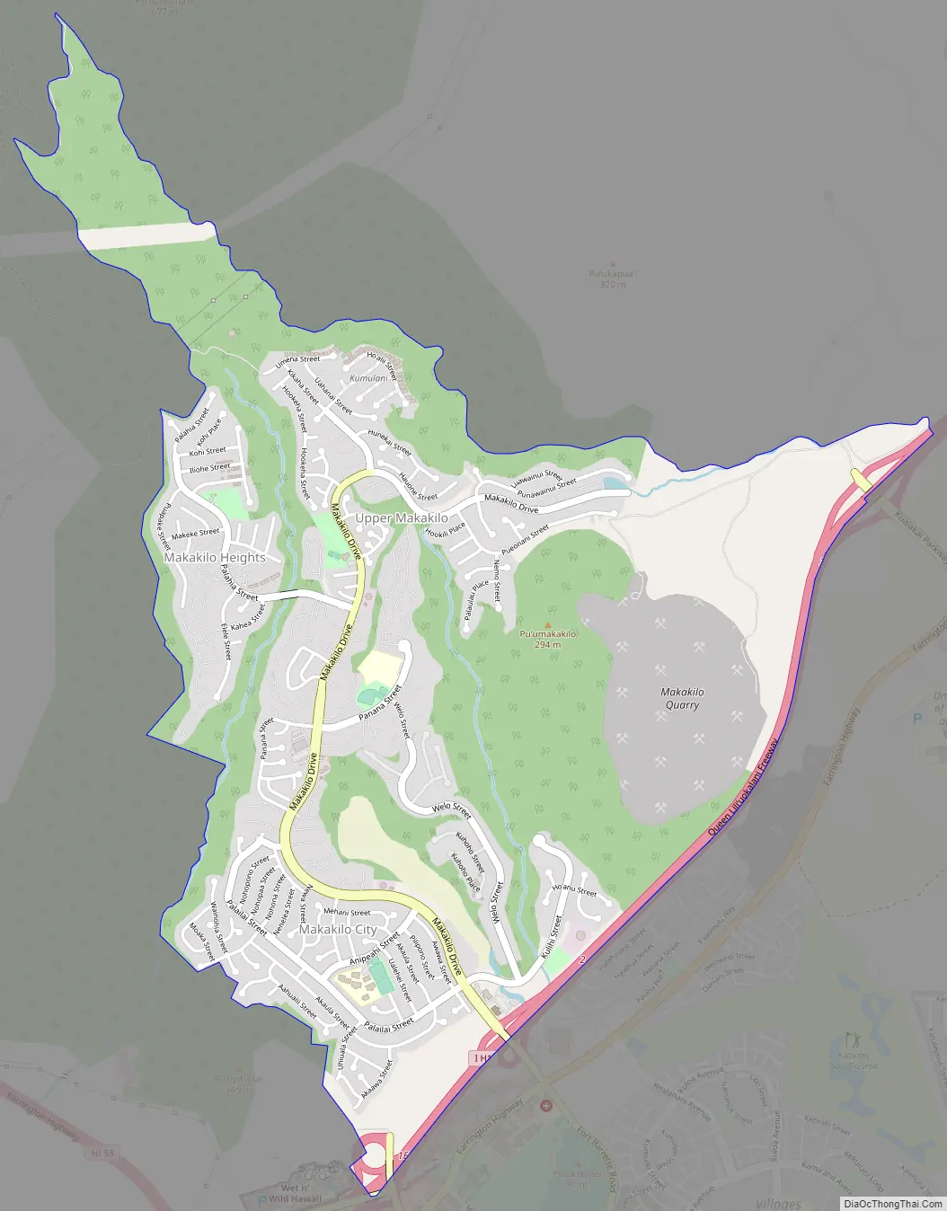
Makakilo Road Map
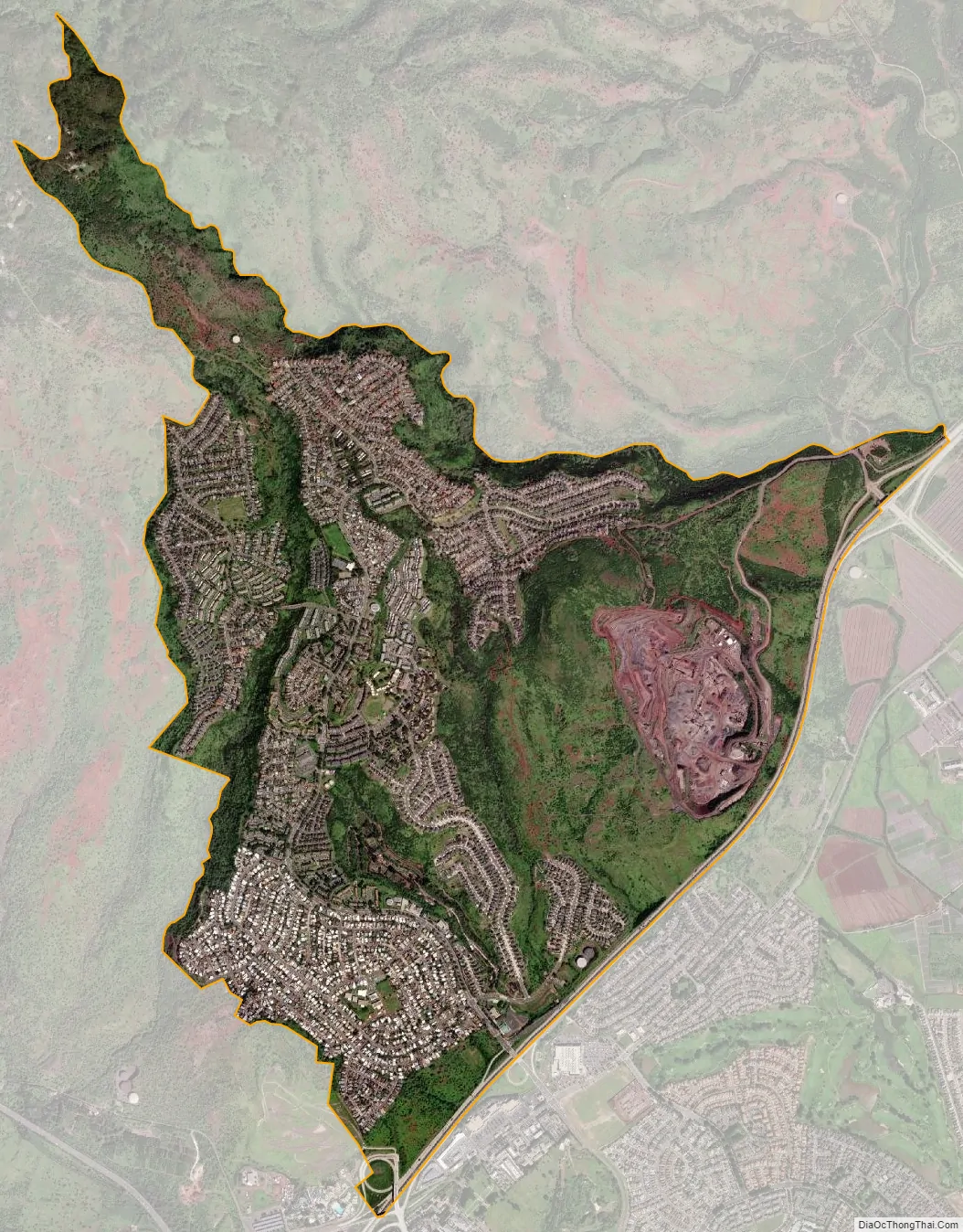
Makakilo city Satellite Map
Geography
Makakilo is located at 21°21′10″N 158°5′27″W / 21.35278°N 158.09083°W / 21.35278; -158.09083 (21.352850, -158.090732) on the southern end of the slopes of the Waiʻanae mountain range above the city of Kapolei. The Interstate H-1 freeway divides more recently developed Kapolei from Makakilo, and traveling eastward on H-1 connects to Waipahu. The freeway ends about 1.5 miles (2.4 km) west of Makakilo, merging into Farrington Highway (State Rte. 90) to Kahe Point and then Nānākuli on the Waiʻanae Coast. Exit 1 on H-1 is Kalaeloa Road, the entrance to Barbers Point and Campbell Industrial Park.
According to the United States Census Bureau, the CDP has a total area of 3.1 square miles (8.0 km), all land.
See also
Map of Hawaii State and its subdivision: Map of other states:- Alabama
- Alaska
- Arizona
- Arkansas
- California
- Colorado
- Connecticut
- Delaware
- District of Columbia
- Florida
- Georgia
- Hawaii
- Idaho
- Illinois
- Indiana
- Iowa
- Kansas
- Kentucky
- Louisiana
- Maine
- Maryland
- Massachusetts
- Michigan
- Minnesota
- Mississippi
- Missouri
- Montana
- Nebraska
- Nevada
- New Hampshire
- New Jersey
- New Mexico
- New York
- North Carolina
- North Dakota
- Ohio
- Oklahoma
- Oregon
- Pennsylvania
- Rhode Island
- South Carolina
- South Dakota
- Tennessee
- Texas
- Utah
- Vermont
- Virginia
- Washington
- West Virginia
- Wisconsin
- Wyoming


