Mililani Mauka is a census-designated place (CDP) in Honolulu County, Hawaii on the island of Oʻahu, Hawaii, United States. As of the 2020 census, the CDP had a population of 21,075.
| Name: | Mililani Mauka CDP |
|---|---|
| LSAD Code: | 57 |
| LSAD Description: | CDP (suffix) |
| State: | Hawaii |
| County: | Honolulu County |
| Elevation: | 880 ft (270 m) |
| Total Area: | 3.99 sq mi (10.35 km²) |
| Land Area: | 3.99 sq mi (10.35 km²) |
| Water Area: | 0.00 sq mi (0.00 km²) |
| Total Population: | 21,075 |
| Population Density: | 5,276.66/sq mi (2,037.19/km²) |
| Area code: | 808 |
| FIPS code: | 1551000 |
Online Interactive Map
Click on ![]() to view map in "full screen" mode.
to view map in "full screen" mode.
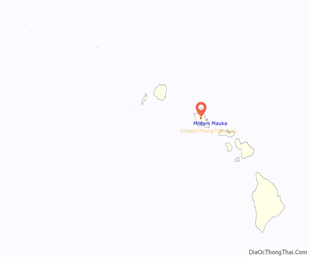
Mililani Mauka location map. Where is Mililani Mauka CDP?
History
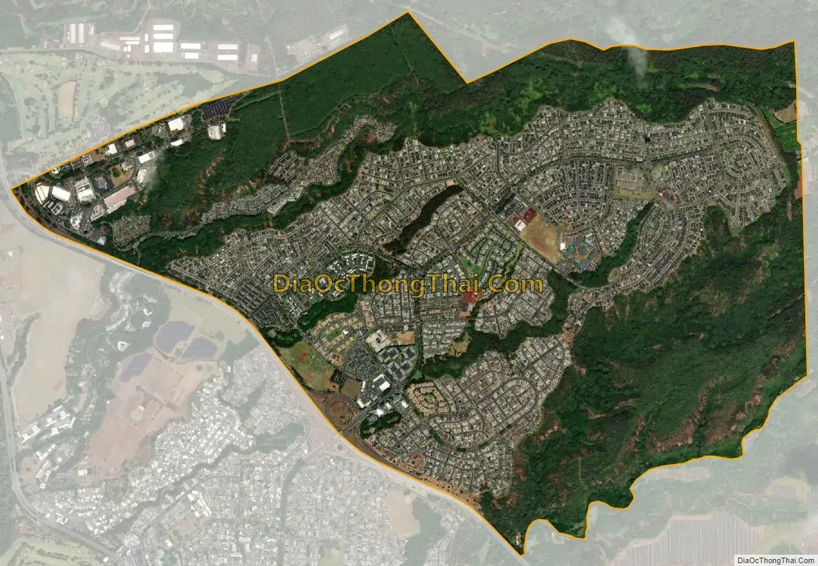
Mililani Mauka is a planned community adjacent to Mililani Town, both situated about 10 miles (16 km) northwest of the center of Honolulu. Ground was broken for Mililani Mauka on April 6, 1990, east of Interstate H-2 from Mililani Town. The first homeowners moved into Mauka in 1992. The community is the future site of the Oahu Arts Center.
Mililani Mauka Road Map

Mililani Mauka city Satellite Map
Geography
Mililani Mauka is located at 21°28′32″N 157°59′40″W / 21.47556°N 157.99444°W / 21.47556; -157.99444 (21.4756, -157.9947). According to the United States Census Bureau, the CDP has a total area of 4.0 square miles (10.3 km), all land. Mililani Mauka lies within the ʻEwa Moku on Oʻahu, more specifically the Waipiʻo Ahupuaʻa.
See also
Map of Hawaii State and its subdivision: Map of other states:- Alabama
- Alaska
- Arizona
- Arkansas
- California
- Colorado
- Connecticut
- Delaware
- District of Columbia
- Florida
- Georgia
- Hawaii
- Idaho
- Illinois
- Indiana
- Iowa
- Kansas
- Kentucky
- Louisiana
- Maine
- Maryland
- Massachusetts
- Michigan
- Minnesota
- Mississippi
- Missouri
- Montana
- Nebraska
- Nevada
- New Hampshire
- New Jersey
- New Mexico
- New York
- North Carolina
- North Dakota
- Ohio
- Oklahoma
- Oregon
- Pennsylvania
- Rhode Island
- South Carolina
- South Dakota
- Tennessee
- Texas
- Utah
- Vermont
- Virginia
- Washington
- West Virginia
- Wisconsin
- Wyoming


