Mokulēʻia (Hawaiian pronunciation: [mokuleːˈʔijə]) is a North Shore community and census-designated place (CDP) in the Waialua District on the island of Oʻahu, City & County of Honolulu, Hawaiʻi, United States. Mokulēʻia means “isle [of] abundance” in Hawaiian. As of the 2020 census, the CDP had a population of 1,816. Features of interest here include Mokulēʻia Beach, Mokulēʻia Polo Field, and Dillingham Airfield, west of the town.
At the western end of Farrington Highway, approximately 1-mile (1.6 km) beyond Dillingham Airfield entrance, begins the track (trail) to Kaʻena Point, the westernmost tip of Oʻahu.
The U.S. postal code for Mokulēʻia is 96791.
| Name: | Mokuleia CDP |
|---|---|
| LSAD Code: | 57 |
| LSAD Description: | CDP (suffix) |
| State: | Hawaii |
| County: | Honolulu County |
| Elevation: | 15 ft (5 m) |
| Total Area: | 3.94 sq mi (10.21 km²) |
| Land Area: | 2.71 sq mi (7.01 km²) |
| Water Area: | 1.24 sq mi (3.20 km²) |
| Total Population: | 1,816 |
| Population Density: | 670.85/sq mi (258.99/km²) |
| FIPS code: | 1552550 |
Online Interactive Map
Click on ![]() to view map in "full screen" mode.
to view map in "full screen" mode.
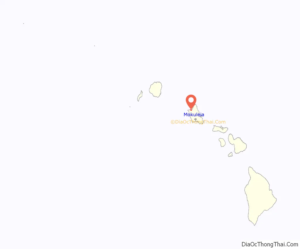
Mokuleia location map. Where is Mokuleia CDP?
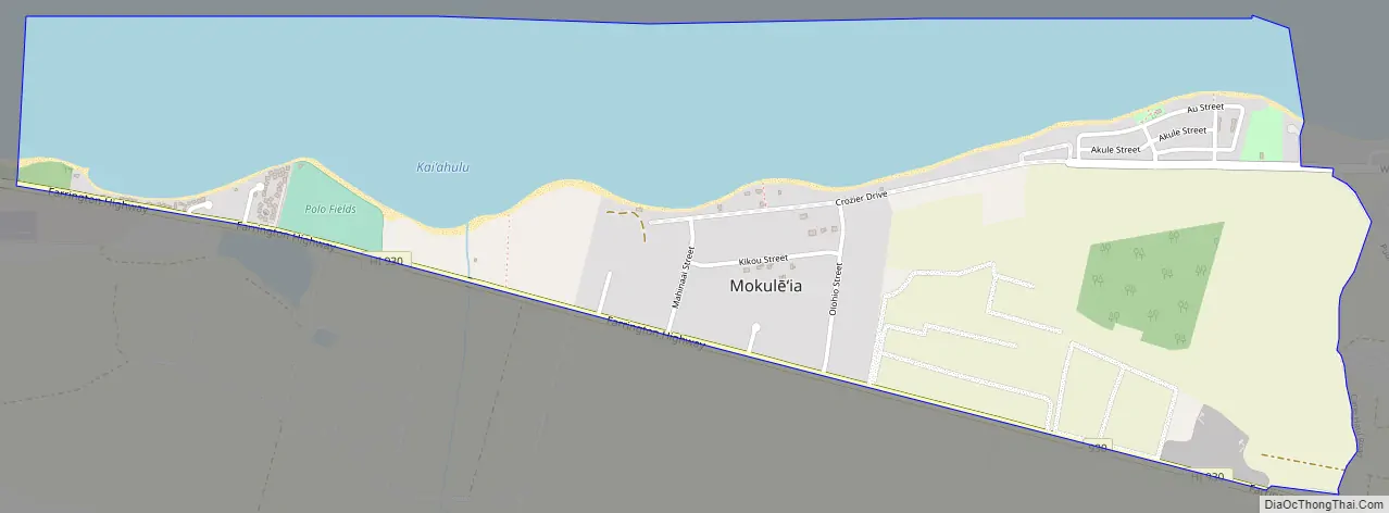
Mokuleia Road Map
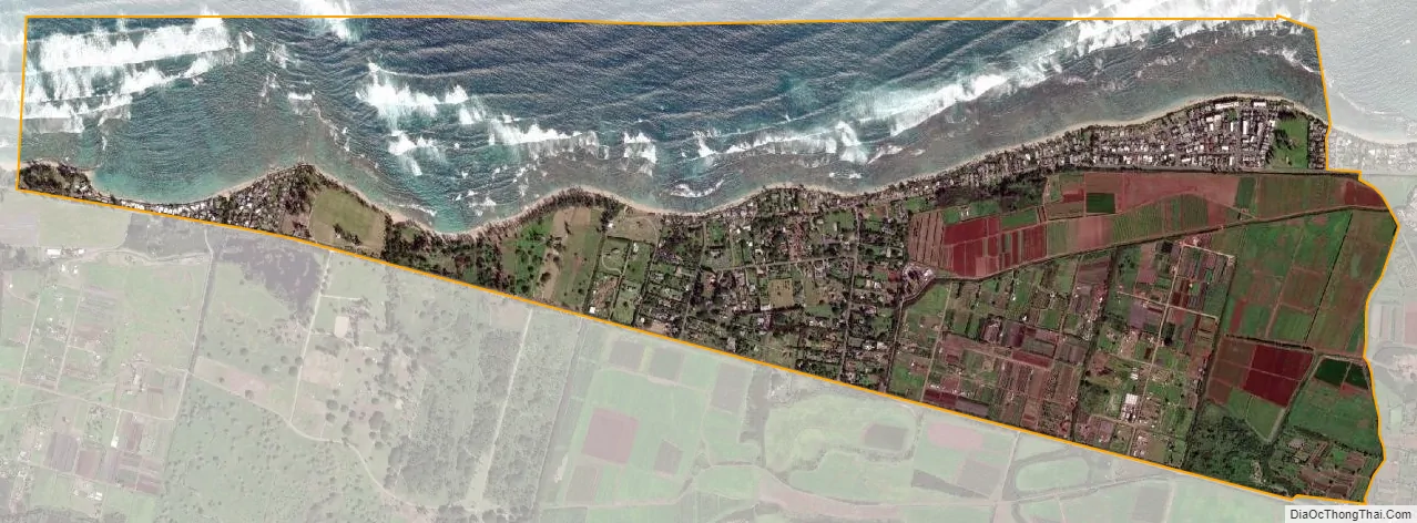
Mokuleia city Satellite Map
Geography
Mokulēʻia is located at 21°34′38″N 158°9′32″W / 21.57722°N 158.15889°W / 21.57722; -158.15889, immediately west of Waialua along Farrington Highway and State Rte. 82 (Waialua Beach Road).
According to the United States Census Bureau, the CDP has an area of 2.7 square miles (7.0 km), of which 1.5 square miles (3.8 km) is land and 1.2 square miles (3.2 km), or 45.86%, is water.
See also
Map of Hawaii State and its subdivision: Map of other states:- Alabama
- Alaska
- Arizona
- Arkansas
- California
- Colorado
- Connecticut
- Delaware
- District of Columbia
- Florida
- Georgia
- Hawaii
- Idaho
- Illinois
- Indiana
- Iowa
- Kansas
- Kentucky
- Louisiana
- Maine
- Maryland
- Massachusetts
- Michigan
- Minnesota
- Mississippi
- Missouri
- Montana
- Nebraska
- Nevada
- New Hampshire
- New Jersey
- New Mexico
- New York
- North Carolina
- North Dakota
- Ohio
- Oklahoma
- Oregon
- Pennsylvania
- Rhode Island
- South Carolina
- South Dakota
- Tennessee
- Texas
- Utah
- Vermont
- Virginia
- Washington
- West Virginia
- Wisconsin
- Wyoming


