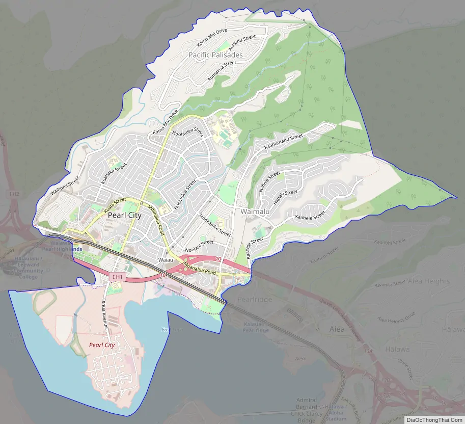
Pearl City is an unincorporated community and census-designated place (CDP) in the ʻEwa District and City & County of Honolulu on the Island of Oʻahu. As of the 2010 census, the CDP had a population of 47,698. Pearl City is along the north shore of Pearl Harbor. Waimalu borders Pearl City to the east and Waipahu borders the west. The U.S. postal code for Pearl City is 96782.
| Name: | Pearl City CDP |
|---|---|
| LSAD Code: | 57 |
| LSAD Description: | CDP (suffix) |
| State: | Hawaii |
| County: | Honolulu County |
| Elevation: | 89 ft (27 m) |
| Total Area: | 10.06 sq mi (26.05 km²) |
| Land Area: | 9.12 sq mi (23.62 km²) |
| Water Area: | 0.94 sq mi (2.42 km²) |
| Total Population: | 45,295 |
| Population Density: | 4,966.56/sq mi (1,917.62/km²) |
| ZIP code: | 96782 |
| Area code: | 808 |
| FIPS code: | 1562600 |
| GNISfeature ID: | 0363226 |
Online Interactive Map
Click on ![]() to view map in "full screen" mode.
to view map in "full screen" mode.
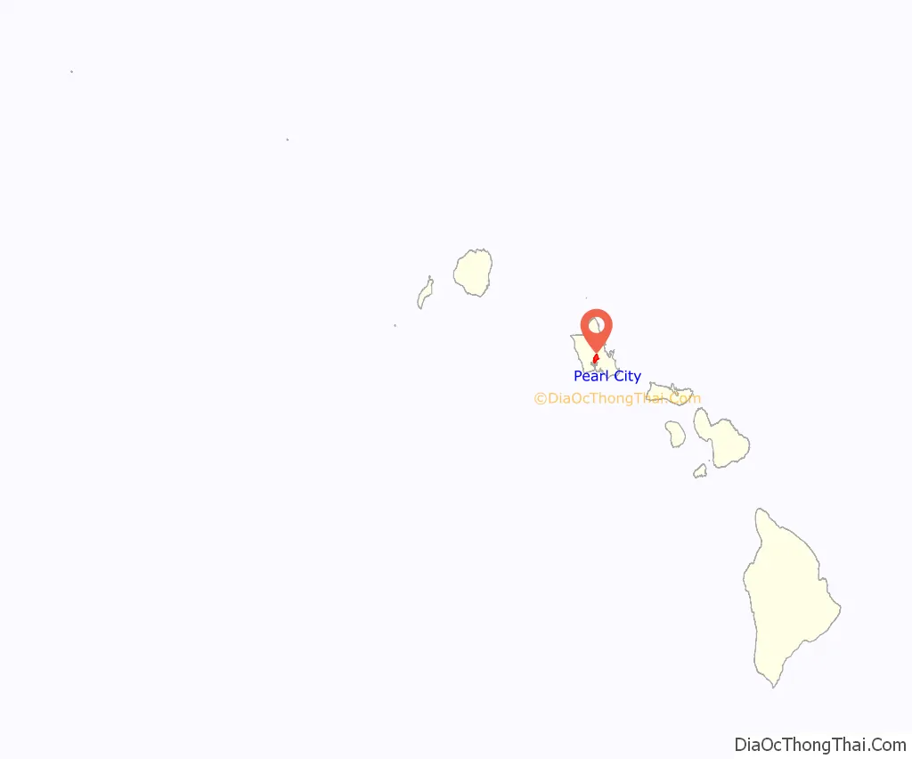
Pearl City location map. Where is Pearl City CDP?
History
Early-day Pearl City had an array of rice paddies and fields that were plowed with water buffalo that hauled a two-wheeled cart. In the early 1880s, Pearl City was the final stop for Benjamin Franklin Dillingham’s Oahu Railway, a mud wagon driven by a four-horse team. Lots for a yet-to-exist “Pearl City” went on sale in 1889, after completion of the rail line. Near the outskirts of Pearl City, the Remond Grove, an area where people were entertained by piano, banjo, trumpet, and saxophone performances, was a popular entertainment spot in the early 1900s.
Pearl City Road Map
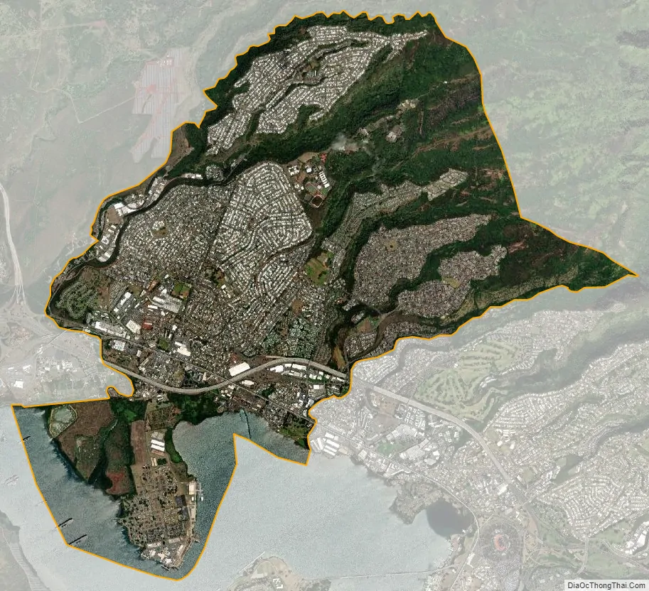
Pearl City city Satellite Map
Geography
Pearl City is located at 21°24’30” North, 157°58’1″ East (21.408333, −157.966902).
According to the United States Census Bureau, the CDP has an area of 5.8 square miles (15 km), of which 5.0 square miles (13 km) is land and 0.8 square miles (2.1 km) is water. The total area is 14.29% water.
- Average winter high (January 28): 79 degrees
- Average winter low (January 28): 66 degrees
- Average summer high (August 23): 87 degrees
- Average summer low (August 23): 74 degrees
- Average annual precipitation: 64 inches
See also
Map of Hawaii State and its subdivision: Map of other states:- Alabama
- Alaska
- Arizona
- Arkansas
- California
- Colorado
- Connecticut
- Delaware
- District of Columbia
- Florida
- Georgia
- Hawaii
- Idaho
- Illinois
- Indiana
- Iowa
- Kansas
- Kentucky
- Louisiana
- Maine
- Maryland
- Massachusetts
- Michigan
- Minnesota
- Mississippi
- Missouri
- Montana
- Nebraska
- Nevada
- New Hampshire
- New Jersey
- New Mexico
- New York
- North Carolina
- North Dakota
- Ohio
- Oklahoma
- Oregon
- Pennsylvania
- Rhode Island
- South Carolina
- South Dakota
- Tennessee
- Texas
- Utah
- Vermont
- Virginia
- Washington
- West Virginia
- Wisconsin
- Wyoming


