Punaluʻu (pronounced [punəluʔu]) is a census-designated place and rural community in the Koʻolauloa District on the island of Oʻahu, City & County of Honolulu, Hawaii, United States. In Hawaiian, punaluʻu means “coral dived for”, or in the case of the fishpond once located here, possibly “spring dived for”. There is a very small commercial center located beside Punaluʻu Stream, and several condominium projects, including a high-rise building, located at Haleaha Beach and Kaluanui Beach. At the 2020 census, the CDP had a population of 1,374.
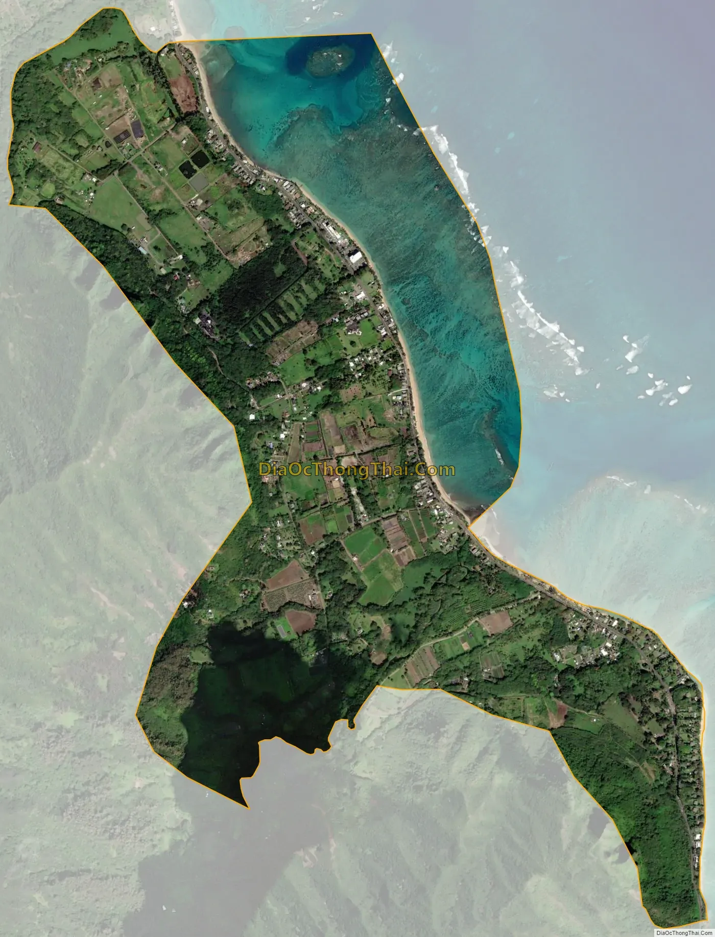
A fringing reef extends off the shoreline. There are several beaches and a beach park in Punaluʻu, including Punaluʻu Beach Park, Punaluʻu Beach, Haleaha Beach, and Kaluanui Beach. Sugar cane was once grown on the narrow coastal plain inland from the highway.
The U.S. postal code for Punaluʻu is 96717.
| Name: | Punaluu CDP |
|---|---|
| LSAD Code: | 57 |
| LSAD Description: | CDP (suffix) |
| State: | Hawaii |
| County: | Honolulu County |
| Elevation: | 6 ft (2 m) |
| Total Area: | 2.07 sq mi (5.35 km²) |
| Land Area: | 1.60 sq mi (4.14 km²) |
| Water Area: | 0.47 sq mi (1.21 km²) |
| Total Population: | 1,374 |
| Population Density: | 859.82/sq mi (331.95/km²) |
| Area code: | 808 |
| FIPS code: | 1566500 |
| GNISfeature ID: | 1853110 |
Online Interactive Map
Click on ![]() to view map in "full screen" mode.
to view map in "full screen" mode.
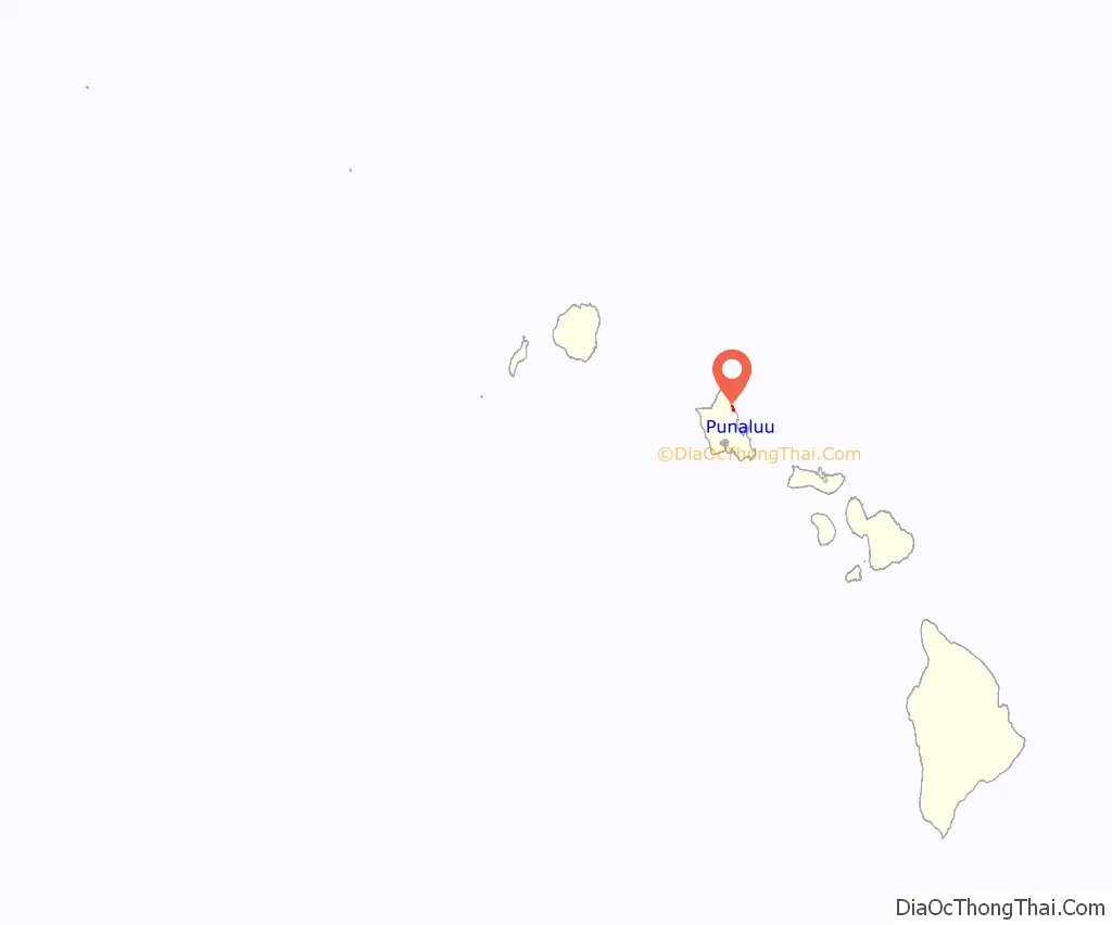
Punaluu location map. Where is Punaluu CDP?
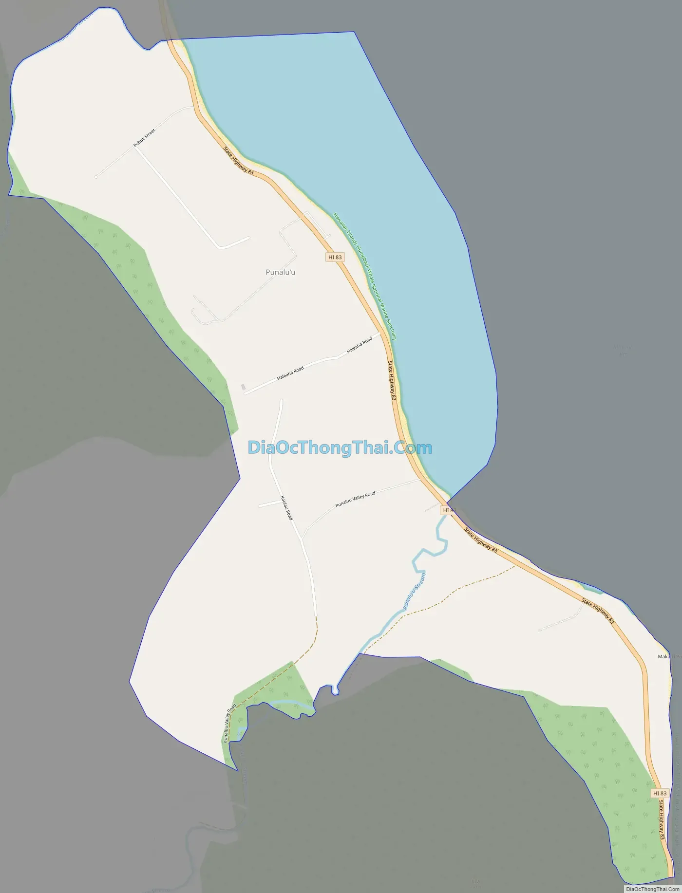
Punaluu Road Map
Punaluu city Satellite Map
Geography
Punaluu is located at 21°35’33” North, 157°53’49” West (21.592600, -157.896989). According to the U.S. Census Bureau, the CDP has a total area of 2.1 square miles (5.4 km), of which 1.6 square miles (4.1 km) is land and 0.46 square miles (1.2 km), or 22.97%, is water. The town is north of Kahana Bay and Kaʻaʻawa and south of Hauʻula along Kamehameha Highway (State Rte. 83). Kaluanui Stream and Sacred Falls are located between Punaluʻu and Hauʻula.
See also
Map of Hawaii State and its subdivision: Map of other states:- Alabama
- Alaska
- Arizona
- Arkansas
- California
- Colorado
- Connecticut
- Delaware
- District of Columbia
- Florida
- Georgia
- Hawaii
- Idaho
- Illinois
- Indiana
- Iowa
- Kansas
- Kentucky
- Louisiana
- Maine
- Maryland
- Massachusetts
- Michigan
- Minnesota
- Mississippi
- Missouri
- Montana
- Nebraska
- Nevada
- New Hampshire
- New Jersey
- New Mexico
- New York
- North Carolina
- North Dakota
- Ohio
- Oklahoma
- Oregon
- Pennsylvania
- Rhode Island
- South Carolina
- South Dakota
- Tennessee
- Texas
- Utah
- Vermont
- Virginia
- Washington
- West Virginia
- Wisconsin
- Wyoming


