Pūpūkea (Hawaiian pronunciation: [puːpuːˈkɛjə]) is a community and census-designated place (CDP) in the Koʻolauloa District on the island of Oʻahu, City & County of Honolulu, Hawaii, United States. In Hawaiian, pūpūkea means “white shell”. As of the 2020 census, the CDP had a population of 5,130. The Koʻolauloa District ends at Waimea Bay, with the Waialua District extending south and westward.
Pūpūkea is a popular area on Oʻahu’s North Shore for living and for visiting. The best known surfing sites of Velzyland, Sunset (at Sunset Beach Park), Kammieland, Pūpūkea, ʻEhukai, Pipeline (these latter two off adjacent ʻEhukai Beach Park and Banzai Beach) and lesser breaks are arrayed off this shore. Popular diving and snorkeling areas known as Three Tables and Sharks Cove are located at Pūpūkea Beach Park. At the southwest end of Pūpūkea is Waimea Bay, with one of the most popular beaches on the island forming the shore at Waimea Beach Park.
Popular residential areas here include the beach lots at Sunset Beach and the uplands of Pūpūkea. As the properties in this area were subdivided in the 1950s and 60s and classified then as country, the lots in the uplands were all measured out in 1 acre or greater parcels. The biggest drawback to living in this part of the island, however, is the considerable driving distance of 37 miles (60 km) to Honolulu.
The U.S. postal code for Pūpūkea and the communities of Waialeʻe, Sunset Beach, Lihilani, Waimea, and Kawailoa is 96712.
| Name: | Pupukea CDP |
|---|---|
| LSAD Code: | 57 |
| LSAD Description: | CDP (suffix) |
| State: | Hawaii |
| County: | Honolulu County |
| Elevation: | 27 ft (0 m) |
| Total Area: | 6.08 sq mi (15.75 km²) |
| Land Area: | 3.44 sq mi (8.90 km²) |
| Water Area: | 2.65 sq mi (6.85 km²) |
| Total Population: | 5,130 |
| Population Density: | 1,492.58/sq mi (576.23/km²) |
| Area code: | 808 |
| FIPS code: | 1566800 |
| GNISfeature ID: | 1867261 |
Online Interactive Map
Click on ![]() to view map in "full screen" mode.
to view map in "full screen" mode.
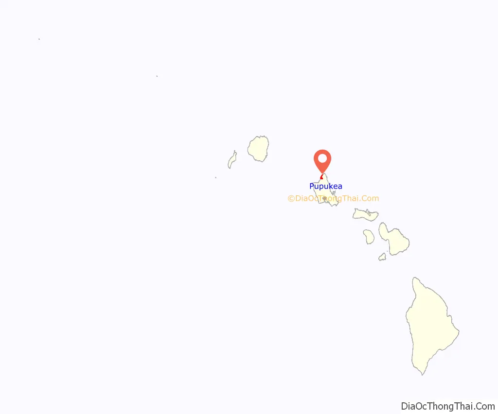
Pupukea location map. Where is Pupukea CDP?
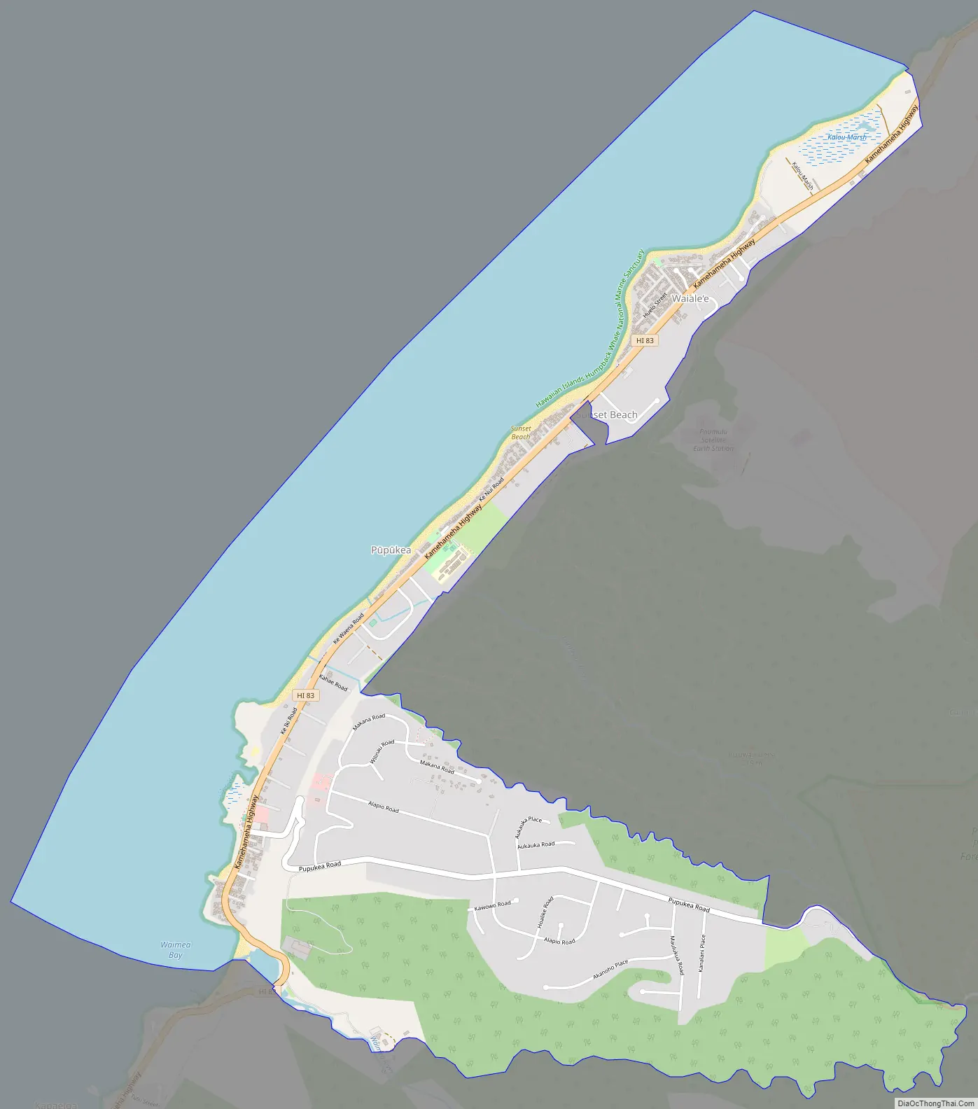
Pupukea Road Map
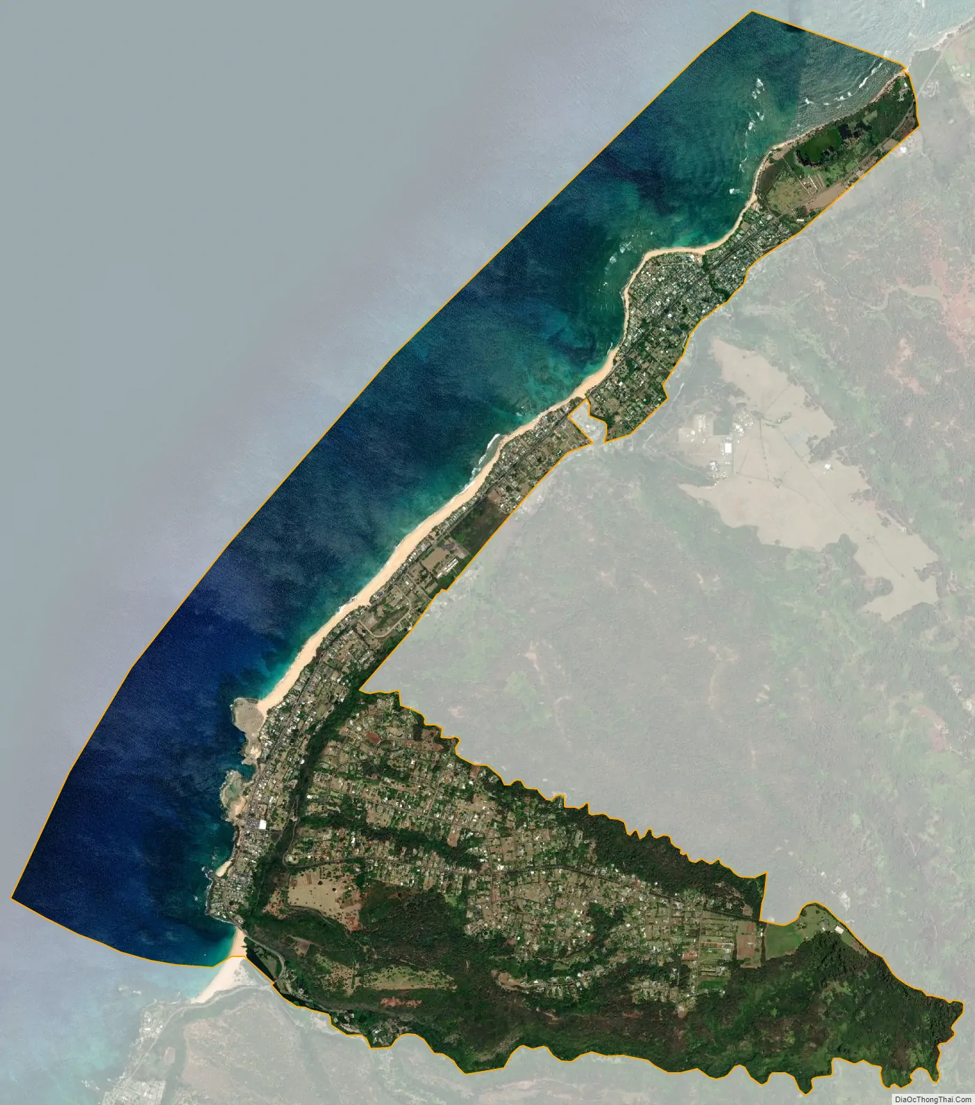
Pupukea city Satellite Map
Geography
Pūpūkea is located at 21°40’11” North, 158°2’58” West (21.669740, -158.049349), along Kamehameha Highway (State Rte. 83) west to southwest from Kawela Bay and northeast from Haleʻiwa.
Due to its geographic location, this area gets three times the amount of rain per year Honolulu receives. It rains on average on 247 days a year with 54.7 inches of rainfall here, whereas it only rains on 89 days with 17.1 inches of rainfall annually in Honolulu.
According to the United States Census Bureau, the CDP has a total area of 6.1 square miles (16 km), of which 3.4 square miles (8.8 km) is land and 2.7 square miles (7.0 km) is water. The total area is 44.17% water, consisting of that portion of the Pacific Ocean (possibly with Waimea Bay) included in the CDP.
See also
Map of Hawaii State and its subdivision: Map of other states:- Alabama
- Alaska
- Arizona
- Arkansas
- California
- Colorado
- Connecticut
- Delaware
- District of Columbia
- Florida
- Georgia
- Hawaii
- Idaho
- Illinois
- Indiana
- Iowa
- Kansas
- Kentucky
- Louisiana
- Maine
- Maryland
- Massachusetts
- Michigan
- Minnesota
- Mississippi
- Missouri
- Montana
- Nebraska
- Nevada
- New Hampshire
- New Jersey
- New Mexico
- New York
- North Carolina
- North Dakota
- Ohio
- Oklahoma
- Oregon
- Pennsylvania
- Rhode Island
- South Carolina
- South Dakota
- Tennessee
- Texas
- Utah
- Vermont
- Virginia
- Washington
- West Virginia
- Wisconsin
- Wyoming


