Schofield Barracks is a United States Army installation and census-designated place (CDP) located in the City and County of Honolulu and in the Wahiawa District of the Hawaiian island of Oʻahu, Hawaiʻi. Schofield Barracks lies adjacent to the town of Wahiawā, separated from most of it by Lake Wilson (also known as Wahiawā Reservoir). Schofield Barracks is named after Lieutenant General John McAllister Schofield, who was the Commanding General of the United States Army from August 1888 to September 1895. He had been sent to Hawaiʻi in 1872 and had recommended the establishment of a naval base at Pearl Harbor.
Schofield Barracks has an area of 17,725 acres (72 km) on Central Oʻahu. The post was established in 1908 to provide mobile defense of Pearl Harbor and the entire island. It has been the home of the 25th Infantry Division, nicknamed the “Tropic Lightning” division, since 1941, as well as the headquarters for United States Army Hawaii (USARHAW). The population was 14,904 at the 2020 census.
| Name: | Schofield Barracks CDP |
|---|---|
| LSAD Code: | 57 |
| LSAD Description: | CDP (suffix) |
| State: | Hawaii |
| County: | Honolulu County |
| FIPS code: | 1569050 |
Online Interactive Map
Click on ![]() to view map in "full screen" mode.
to view map in "full screen" mode.
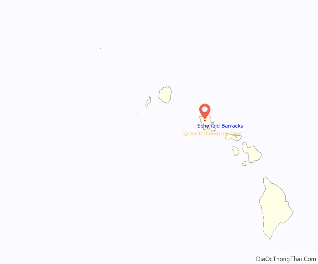
Schofield Barracks location map. Where is Schofield Barracks CDP?
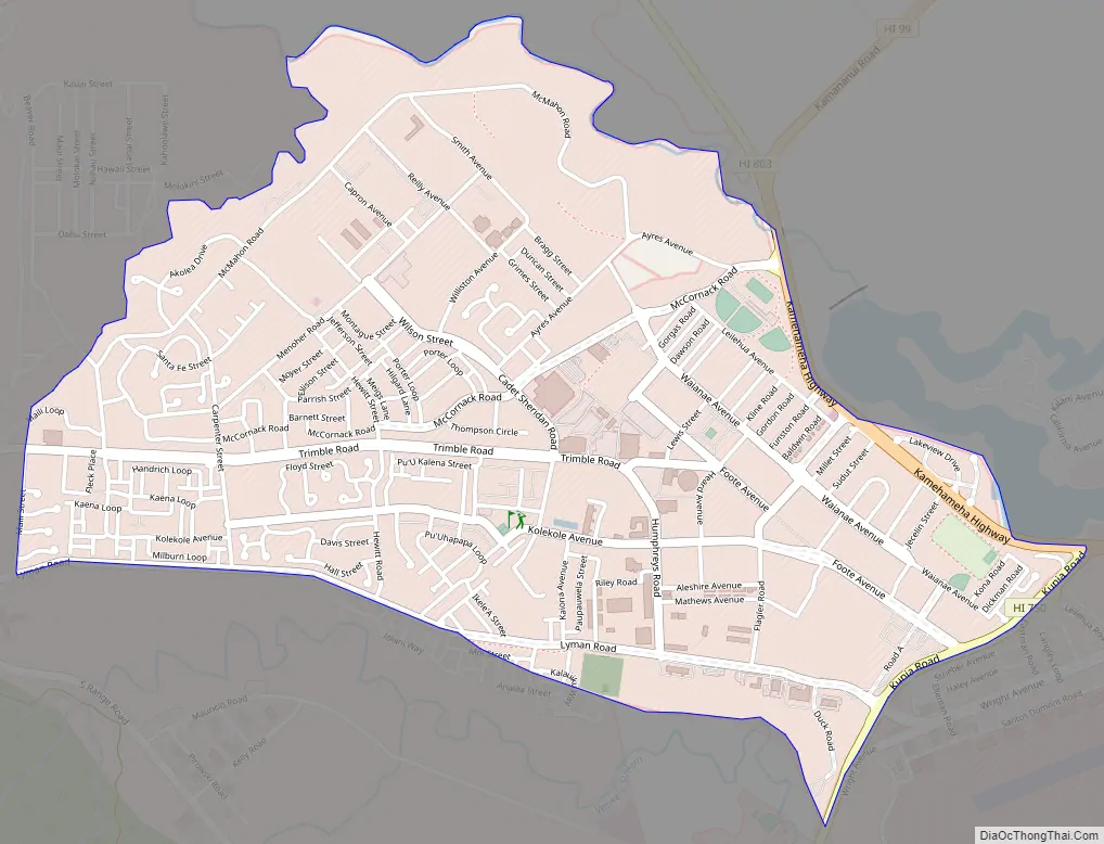
Schofield Barracks Road Map
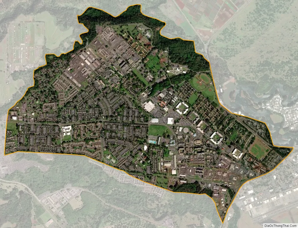
Schofield Barracks city Satellite Map
Geography
Schofield Barracks is located at 21°29′52″N 158°3′48″W / 21.49778°N 158.06333°W / 21.49778; -158.06333 (21.497650, −158.063248). The Main Gate used to be off Wilikina Drive; however, now only the Foote and Lyman gates located along Kunia Road are used for controlled access. Proceeding north on Wilikina Road (State Rte. 99) leads to intersections with Kaukonahua Road (State Rte. 801) to Waialua and Kamehameha Highway (State Rte. 99) to Haleʻiwa. East on Wilikina leads to Interstate H-2 and Kamehameha Highway (State Rte.s 80 and 99) to Wahiawā and Mililani Town. Proceeding south on Kunia Road (State Route 750) past Schofield leads to the Kunia Gate on Wheeler, Kunia, and eventually Waipahu.
According to the United States Census Bureau, the post has a total area of 2.8 square miles (7.3 km), all of it land.
See also
Map of Hawaii State and its subdivision: Map of other states:- Alabama
- Alaska
- Arizona
- Arkansas
- California
- Colorado
- Connecticut
- Delaware
- District of Columbia
- Florida
- Georgia
- Hawaii
- Idaho
- Illinois
- Indiana
- Iowa
- Kansas
- Kentucky
- Louisiana
- Maine
- Maryland
- Massachusetts
- Michigan
- Minnesota
- Mississippi
- Missouri
- Montana
- Nebraska
- Nevada
- New Hampshire
- New Jersey
- New Mexico
- New York
- North Carolina
- North Dakota
- Ohio
- Oklahoma
- Oregon
- Pennsylvania
- Rhode Island
- South Carolina
- South Dakota
- Tennessee
- Texas
- Utah
- Vermont
- Virginia
- Washington
- West Virginia
- Wisconsin
- Wyoming


