Waikāne or Waikane (Hawaiian pronunciation: [vɐjˈkaːne]), also known as North Koʻolaupoko ([-koʔolɐwˈpoko]), is an area and census-designated place in the County of Honolulu, Hawaii, United States, on the island of Oʻahu. It had a population of 778 at the 2010 census. In Hawaiian, koʻolau poko means “short windward”, referring to the fact that this is the shorter of the two windward districts on the island (Koʻolauloa or “long windward” is the other). Koʻolaupoko extends from Makapuʻu Point on the southeast to Kaʻōʻio Point on the north. Included within the district, south of North Koʻolaupoko, are the largest windward towns of Kāneʻohe, Kailua, and Waimānalo.
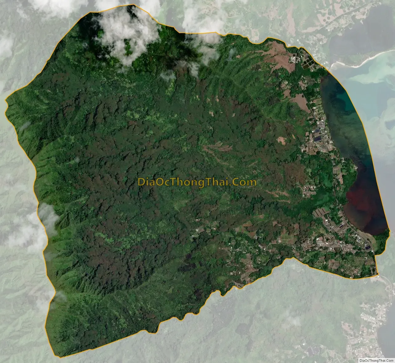
Waikāne lies mostly along the coastline of Kāneʻohe Bay and consists of several lush valleys that extend inland to the steep face of the Koʻolau pali (cliff). The first valley north of Kahaluʻu is Waiāhole. Next is Waikāne, then Hakipuʻu, and northernmost is Kualoa. This area differs from the towns, valleys, and ahupuaʻa of the southern part of Koʻolaupoko in that it is mostly undeveloped, decidedly rural in character, with many small farms.
Despite the long shoreline, public access to Kāneʻohe Bay is somewhat limited by private holdings. A small community park at Waiāhole was enlarged and improved in 2003. A larger city and county park at Kualoa provides camping and picnic areas, a long narrow beach, and views of Mokoliʻi Islet. The south side of Kualoa Regional Park faces onto Kāneʻohe Bay, and the east shore is a fringing reef off the Pacific Ocean coast of northeast Oʻahu.
The U.S. postal code for all of North Koʻolaupoko is 96744 (the same as Kāneʻohe).
| Name: | Waikane CDP |
|---|---|
| LSAD Code: | 57 |
| LSAD Description: | CDP (suffix) |
| State: | Hawaii |
| County: | Honolulu County |
| Elevation: | 46 ft (14 m) |
| Total Area: | 7.2 sq mi (18.6 km²) |
| Land Area: | 6.8 sq mi (17.7 km²) |
| Water Area: | 0.3 sq mi (0.9 km²) |
| Total Population: | 778 |
| Population Density: | 110/sq mi (42/km²) |
| FIPS code: | 1575800 |
Online Interactive Map
Click on ![]() to view map in "full screen" mode.
to view map in "full screen" mode.
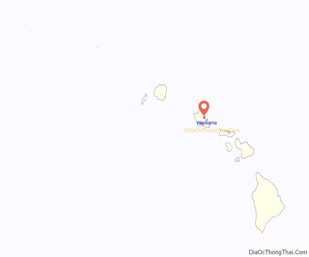
Waikane location map. Where is Waikane CDP?
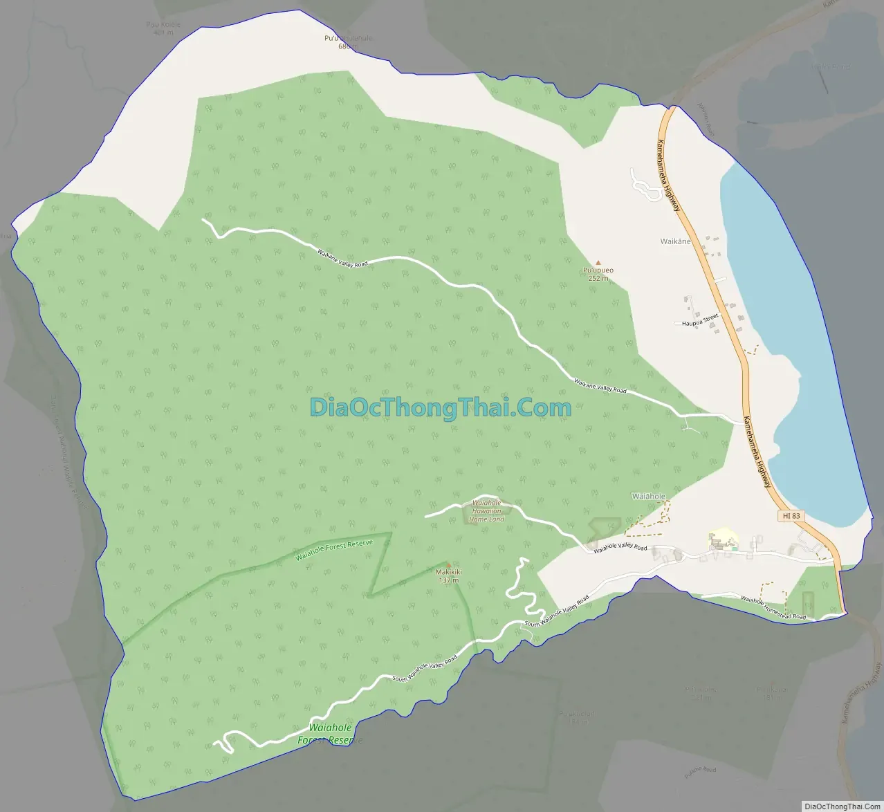
Waikane Road Map
Waikane city Satellite Map
Geography
The Waikāne census-designated place (CDP) is located at 21°29’47” North, 157°51’34” West (21.496355, -157.859321). Southward along the shore of Kāneʻohe Bay via Kamehameha Highway (State Rte. 83) are (from Waikāne) Waiāhole and Kahaluʻu. Northwest up the coast beyond Kualoa and Kaʻōʻio Point is the town of Kaʻaʻawa.
The Waikane CDP encompasses much more than the location known as Waikāne, which is but one of several valleys comprising the north end of the Koʻolaupoko District. The CDP has a total area of 7.2 square miles (18.6 km), of which 6.8 square miles (17.7 km) is land and 0.35 square miles (0.9 km) is water. The total area is 4.88% water.
See also
Map of Hawaii State and its subdivision: Map of other states:- Alabama
- Alaska
- Arizona
- Arkansas
- California
- Colorado
- Connecticut
- Delaware
- District of Columbia
- Florida
- Georgia
- Hawaii
- Idaho
- Illinois
- Indiana
- Iowa
- Kansas
- Kentucky
- Louisiana
- Maine
- Maryland
- Massachusetts
- Michigan
- Minnesota
- Mississippi
- Missouri
- Montana
- Nebraska
- Nevada
- New Hampshire
- New Jersey
- New Mexico
- New York
- North Carolina
- North Dakota
- Ohio
- Oklahoma
- Oregon
- Pennsylvania
- Rhode Island
- South Carolina
- South Dakota
- Tennessee
- Texas
- Utah
- Vermont
- Virginia
- Washington
- West Virginia
- Wisconsin
- Wyoming


