Waimānalo (Hawaiian pronunciation: [vɐjmaːˈnɐlo]) is a census-designated place (CDP) in the City & County of Honolulu, in the District of Koʻolaupoko on the island of Oʻahu, Hawaii, United States. This small windward community is located near the eastern end of the island. In the Hawaiian language Waimānalo means “potable water”; it is so named for the many brackish ponds in the area that were used for irrigation. As of the 2020 census, the CDP had a population of 6,057.
About 1000 meters east of Waimānalo is the neighborhood of Waimānalo Beach. Waimānalo has a small commercial center along Kalanianaʻole Highway, but is separated from the shoreline and Waimānalo Beach (the longest stretch of sandy shoreline on Oʻahu) by Bellows Air Force Station. Waimānalo is noteworthy for its local flavor and large agricultural lots in the valley that extend back towards the Koʻolau from the center of town. Numerous plant nurseries are found in this area. There are no hotels in Waimānalo.
Waimānalo is the site of Sea Life Park, located near Hawaiʻi Kai on Kalanianaole Highway. The U.S. postal code for Waimānalo is 96795.
| Name: | Waimanalo CDP |
|---|---|
| LSAD Code: | 57 |
| LSAD Description: | CDP (suffix) |
| State: | Hawaii |
| County: | Honolulu County |
| Elevation: | 30 ft (9 m) |
| Total Area: | 4.36 sq mi (11.29 km²) |
| Land Area: | 4.36 sq mi (11.29 km²) |
| Water Area: | 0.00 sq mi (0.00 km²) |
| Total Population: | 6,057 |
| Population Density: | 1,389.86/sq mi (536.60/km²) |
| ZIP code: | 96795 |
| Area code: | 808 |
| FIPS code: | 1578050 |
Online Interactive Map
Click on ![]() to view map in "full screen" mode.
to view map in "full screen" mode.
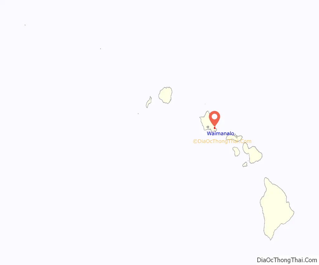
Waimanalo location map. Where is Waimanalo CDP?
Waimanalo Road Map

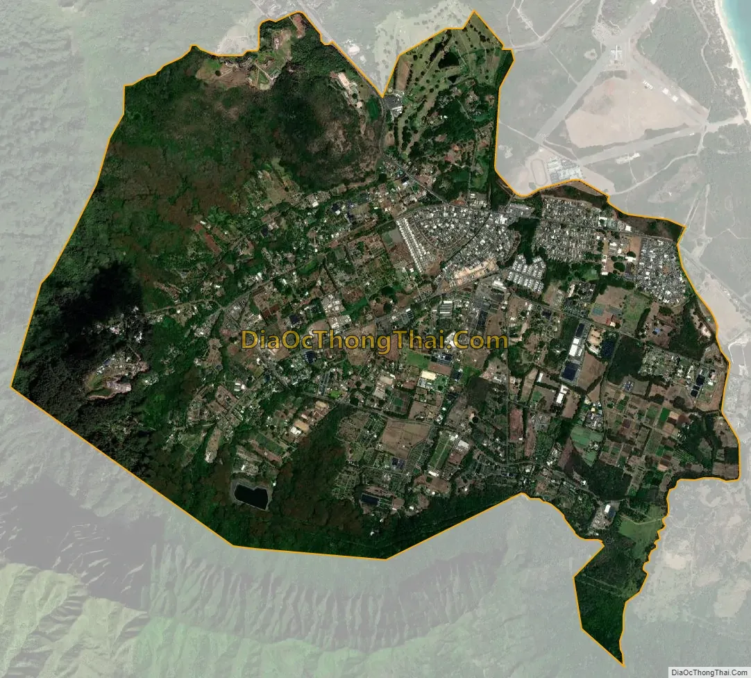
Waimanalo city Satellite Map
Geography
Waimānalo is located at 21°20′45″N 157°43′5″W / 21.34583°N 157.71806°W / 21.34583; -157.71806. The nearest towns are Kailua to the west, and Waimānalo Beach to the east. Waimanalo Beach is located within the traditional Ahupuaa of Waimānalo. According to the United States Census Bureau, the CDP has a total area of 4.4 square miles (11.3 km), all of it land.
Climate
See also
Map of Hawaii State and its subdivision: Map of other states:- Alabama
- Alaska
- Arizona
- Arkansas
- California
- Colorado
- Connecticut
- Delaware
- District of Columbia
- Florida
- Georgia
- Hawaii
- Idaho
- Illinois
- Indiana
- Iowa
- Kansas
- Kentucky
- Louisiana
- Maine
- Maryland
- Massachusetts
- Michigan
- Minnesota
- Mississippi
- Missouri
- Montana
- Nebraska
- Nevada
- New Hampshire
- New Jersey
- New Mexico
- New York
- North Carolina
- North Dakota
- Ohio
- Oklahoma
- Oregon
- Pennsylvania
- Rhode Island
- South Carolina
- South Dakota
- Tennessee
- Texas
- Utah
- Vermont
- Virginia
- Washington
- West Virginia
- Wisconsin
- Wyoming


