Waipiʻo (Hawaiian pronunciation: [vɐjˈpiʔo]) is a census-designated place (CDP) located in the Ewa District of the island of Oʻahu in the City & County of Honolulu, Hawaii, United States. In Hawaiian, wai piʻo means “curved water”. As of the 2020 census, the CDP had a population of 12,082.
The U.S. ZIP Code for Waipiʻo is 96797.
| Name: | Waipio CDP |
|---|---|
| LSAD Code: | 57 |
| LSAD Description: | CDP (suffix) |
| State: | Hawaii |
| County: | Honolulu County |
| Elevation: | 381 ft (116 m) |
| Total Area: | 1.25 sq mi (3.23 km²) |
| Land Area: | 1.25 sq mi (3.23 km²) |
| Water Area: | 0.00 sq mi (0.00 km²) |
| Total Population: | 12,082 |
| Population Density: | 9,688.85/sq mi (3,742.05/km²) |
| ZIP code: | 96797 |
| Area code: | 808 |
| FIPS code: | 1579860 |
| GNISfeature ID: | 1867265 |
Online Interactive Map
Click on ![]() to view map in "full screen" mode.
to view map in "full screen" mode.
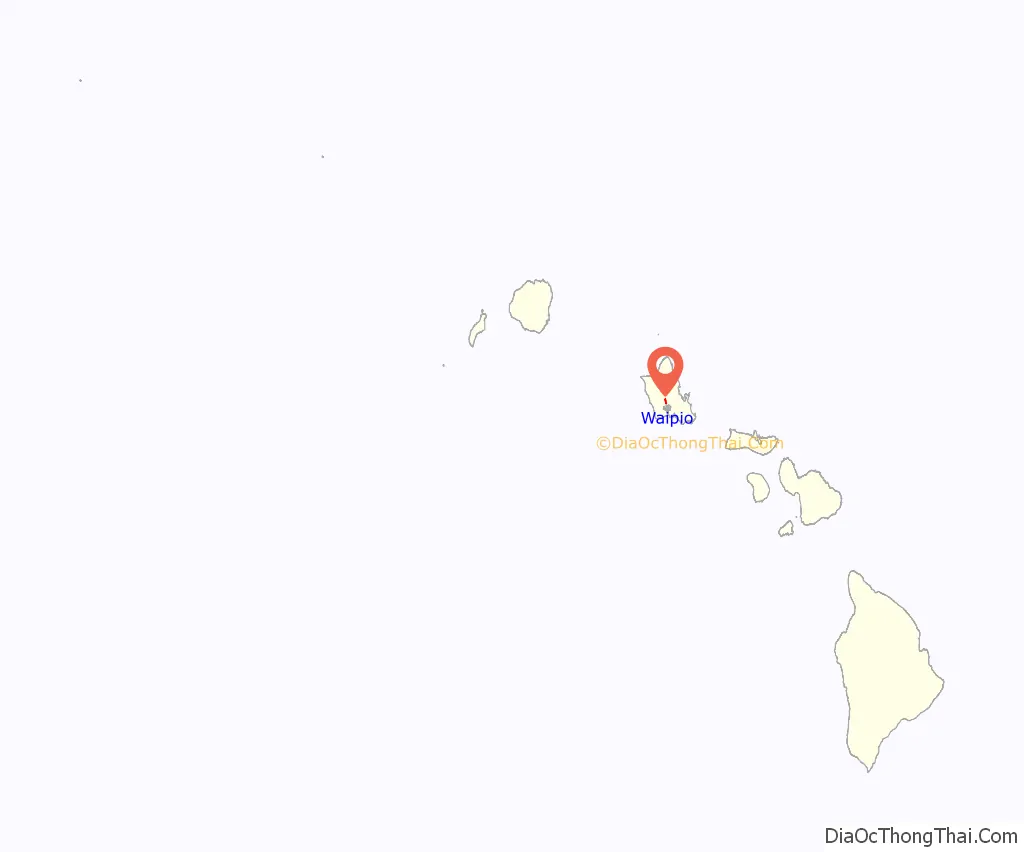
Waipio location map. Where is Waipio CDP?
History
In ancient Hawaii, the Battle of Kīpapa Gulch was said to have taken place at Kīpapa Gulch in Waipiʻo. Maʻilikākahi was the mōʻī of Oʻahu at the time. The battle began at Waikakalaua Gulch in the adjacent ahupuaʻa of Waikele. It eventually made its way into Kīpapa Gulch. The raiding party was defeated, and it is said that the gulch was “paved with the corpses of the slain.”
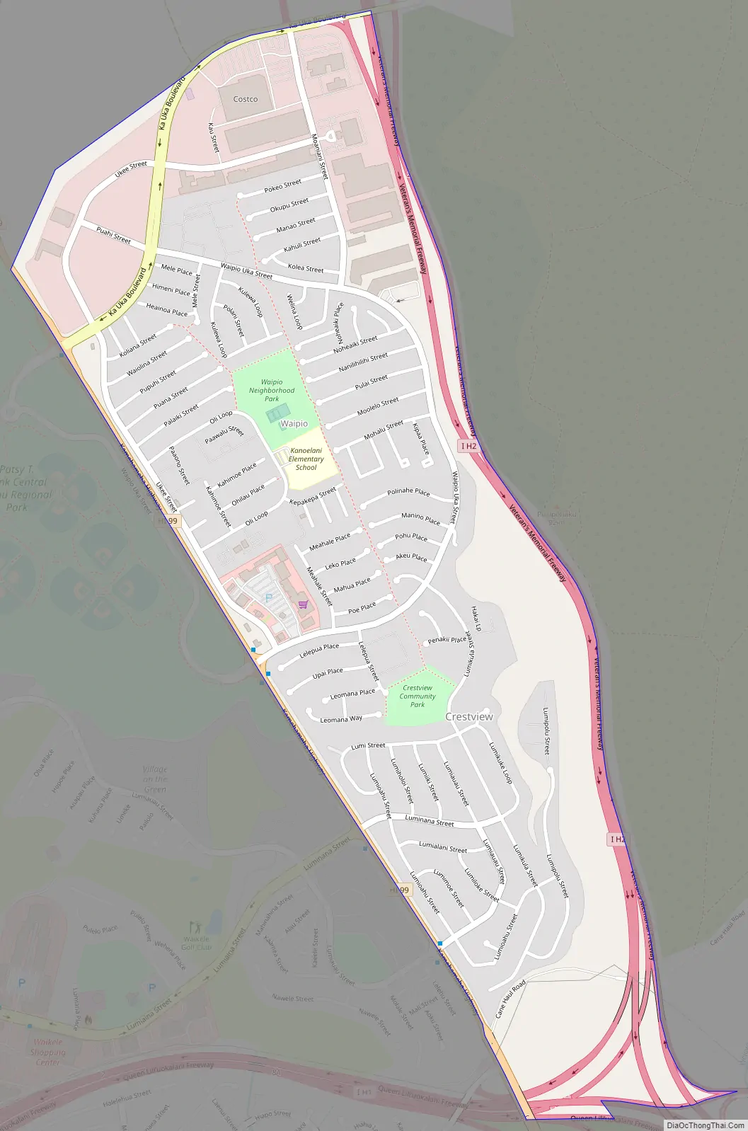
Waipio Road Map
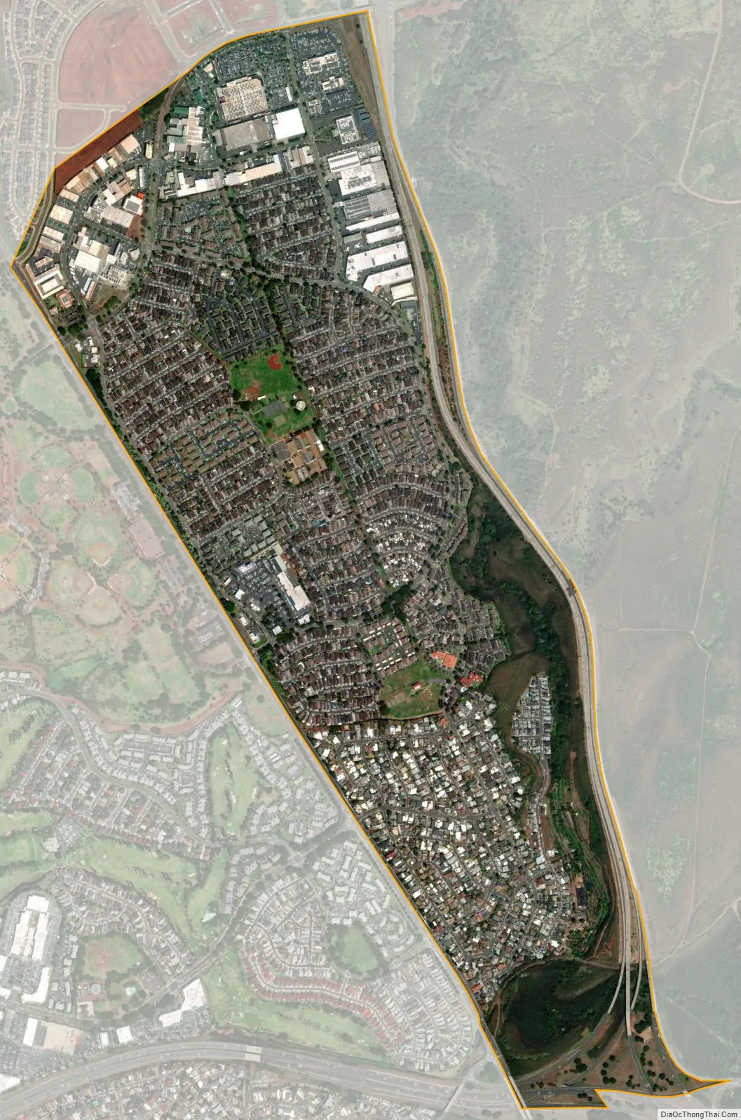
Waipio city Satellite Map
Geography
Waipi’o is located at 21°25′5″N 157°59′53″W / 21.41806°N 157.99806°W / 21.41806; -157.99806 (21.418050, -157.997988), south of Mililani Town via either Interstate H-2 or Kamehameha Highway (Hawaii Route 99). The town is immediately east of Waikele, separated by Kamehameha Highway, the road that leads southward to Farrington Highway (Hawaii Route 90) with connections then to Pearl City to the east and Waipahu to the west. In this same area south of Waipi’o is the interchange between Hawai’i Interstates H-1 and H-2 at Waiawa. Neighborhoods include Crestview.
According to the United States Census Bureau, the CDP has a total area of 1.2 square miles (3.1 km), all of it land.
See also
Map of Hawaii State and its subdivision: Map of other states:- Alabama
- Alaska
- Arizona
- Arkansas
- California
- Colorado
- Connecticut
- Delaware
- District of Columbia
- Florida
- Georgia
- Hawaii
- Idaho
- Illinois
- Indiana
- Iowa
- Kansas
- Kentucky
- Louisiana
- Maine
- Maryland
- Massachusetts
- Michigan
- Minnesota
- Mississippi
- Missouri
- Montana
- Nebraska
- Nevada
- New Hampshire
- New Jersey
- New Mexico
- New York
- North Carolina
- North Dakota
- Ohio
- Oklahoma
- Oregon
- Pennsylvania
- Rhode Island
- South Carolina
- South Dakota
- Tennessee
- Texas
- Utah
- Vermont
- Virginia
- Washington
- West Virginia
- Wisconsin
- Wyoming


