Anderson is a city in Shasta County, California, approximately 10 miles south of Redding. Its population is 11,323 as of the 2020 census, up from 9,932 from the 2010 census.
Located 138 miles north of Sacramento, the city’s roots are as a railroad town near the northern tip of the Central Valley of California.
The city was named after ranch owner Elias Anderson who granted the Oregon and California Railroad trackage rights and land for a station. Elias Anderson was a farmer, hotel owner, and postmaster. Elias married Elizabeth Summers in 1839 and built the Prairie House in the community of Cottonwood in 1856 on the south side of Cottonwood Creek (now Tehama County).
Elias Anderson purchased the American Ranch from Thomas Freeman in 1856 and built the American Ranch Hotel in what would become downtown Anderson, California. The post office was inside the hotel. Elias Anderson purchased 210 acres from Pierson B. Reading in 1865 and deeded a right-of-way through his property to Central Pacific Railroad in 1872; in return the railroad gave the depot his name. Elias and Elizabeth Anderson built their new home at 2865 East Street in 1873; it no longer exists. While it stood, the house was designated as California Historical Landmark No. 12. In 1876 the Andersons moved their ranch hotel to the corner of Main and Ferry Streets.
| Name: | Anderson city |
|---|---|
| LSAD Code: | 25 |
| LSAD Description: | city (suffix) |
| State: | California |
| County: | Shasta County |
| Incorporated: | January 16, 1956 |
| Elevation: | 430 ft (132 m) |
| Total Area: | 7.21 sq mi (18.68 km²) |
| Land Area: | 7.03 sq mi (18.21 km²) |
| Water Area: | 0.18 sq mi (0.47 km²) 3.74% |
| Total Population: | 11,323 |
| Population Density: | 1,610.44/sq mi (621.77/km²) |
| ZIP code: | 96007 |
| Area code: | 530 |
| FIPS code: | 0602042 |
| GNISfeature ID: | 0277470 |
| Website: | http://ci.anderson.ca.us/ |
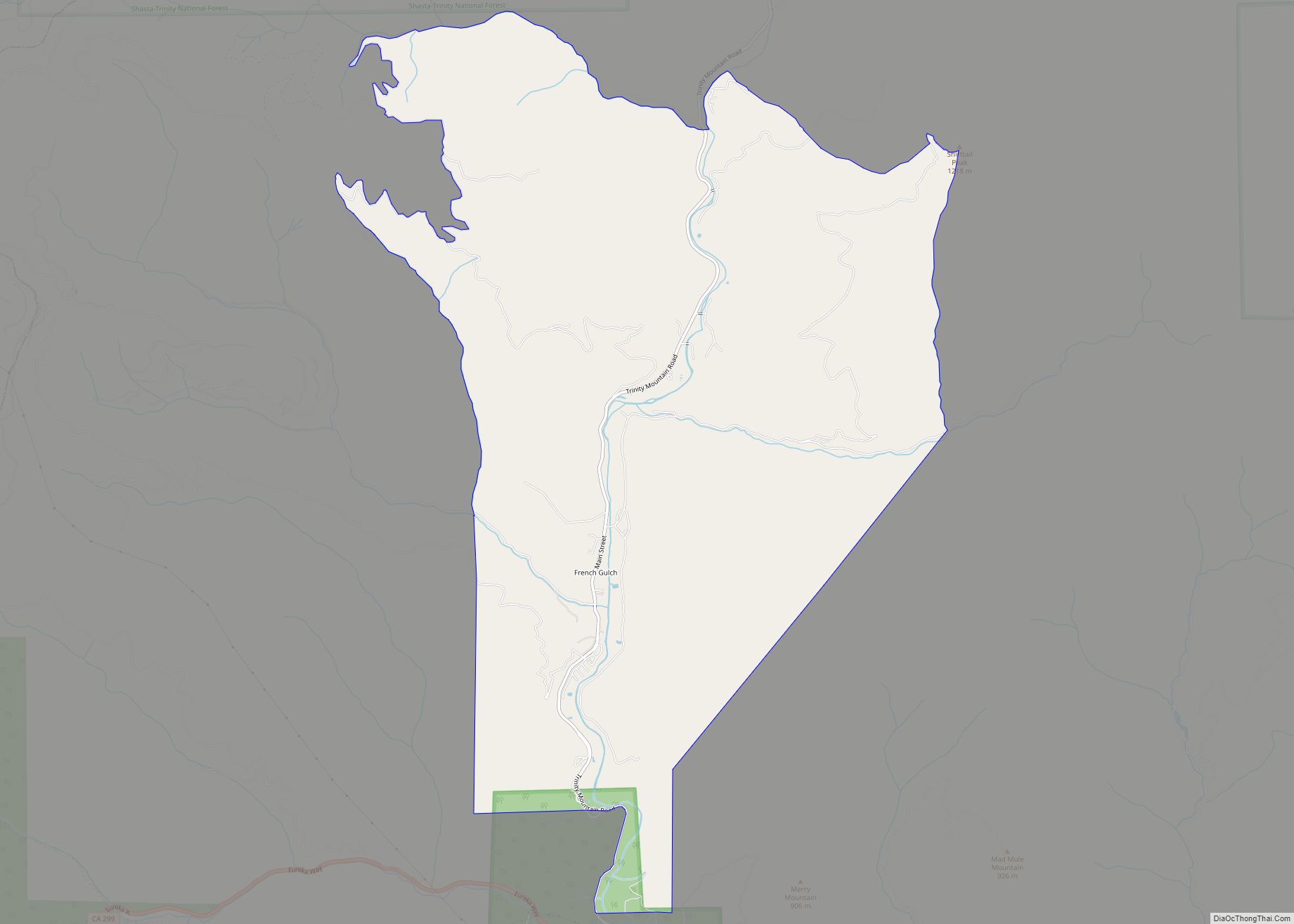
Online Interactive Map
Click on ![]() to view map in "full screen" mode.
to view map in "full screen" mode.
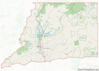
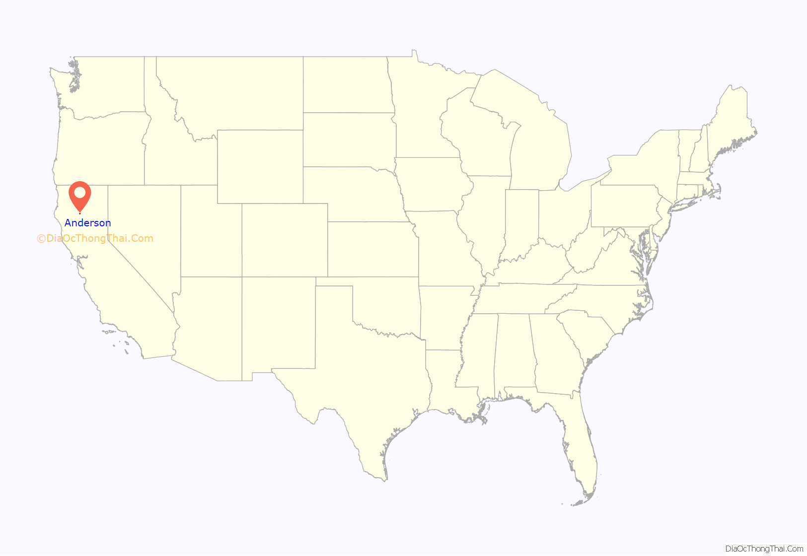
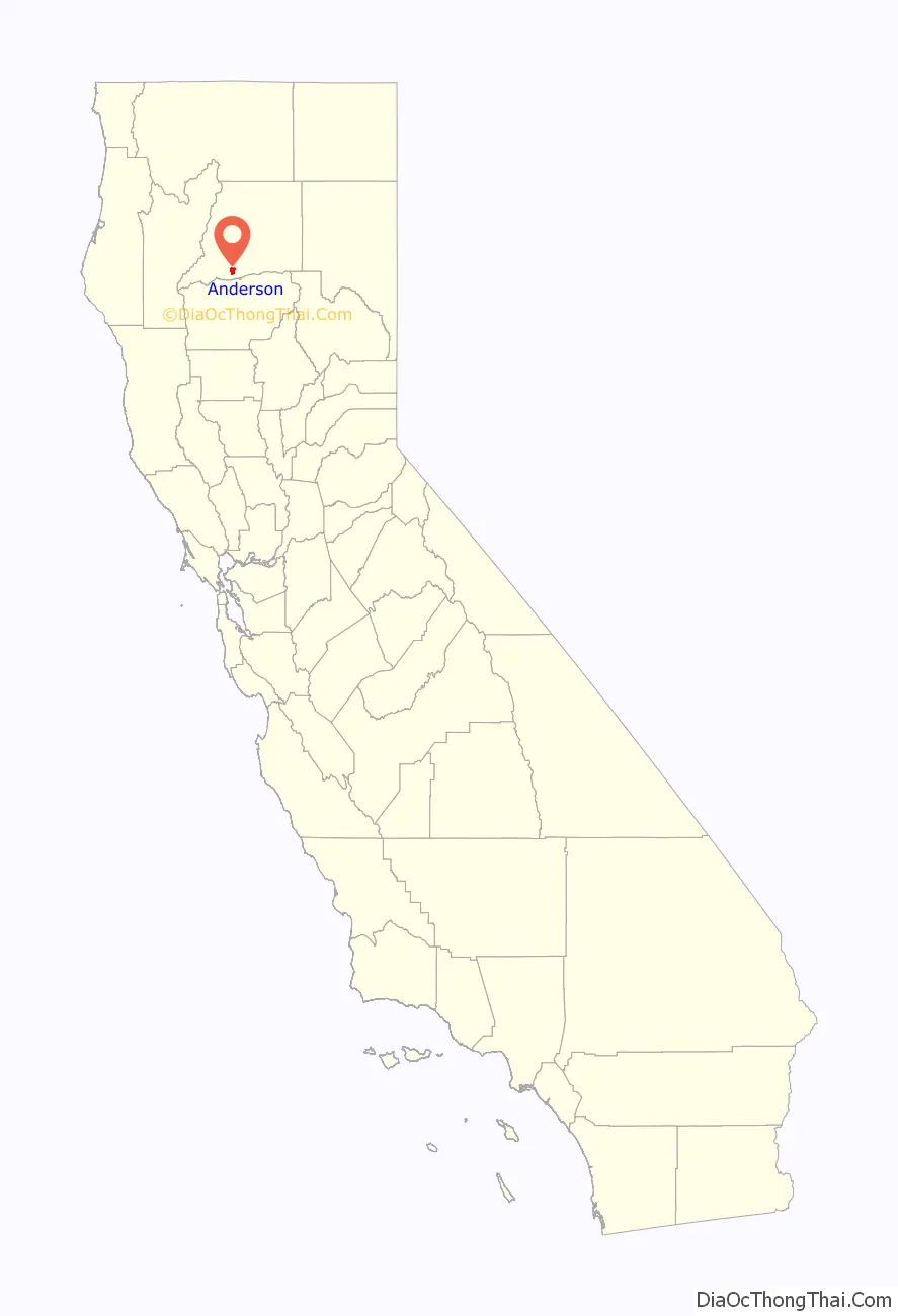
Anderson location map. Where is Anderson city?
History
Railroad activity came to the area in 1872. Anderson is named after Elias Anderson, who owned the largest land grant in the vicinity. The city’s Anderson River Park sits on part of the original land grant owned by Anderson.
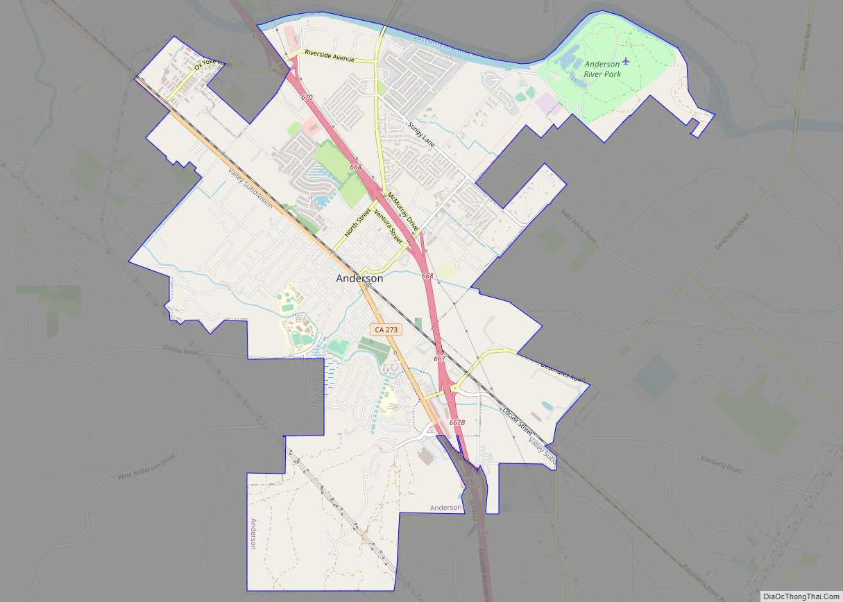
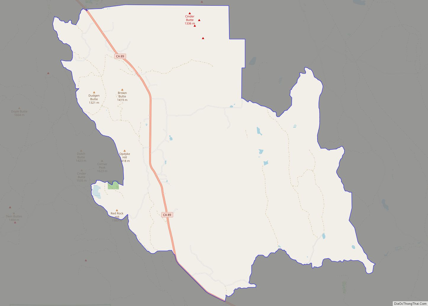
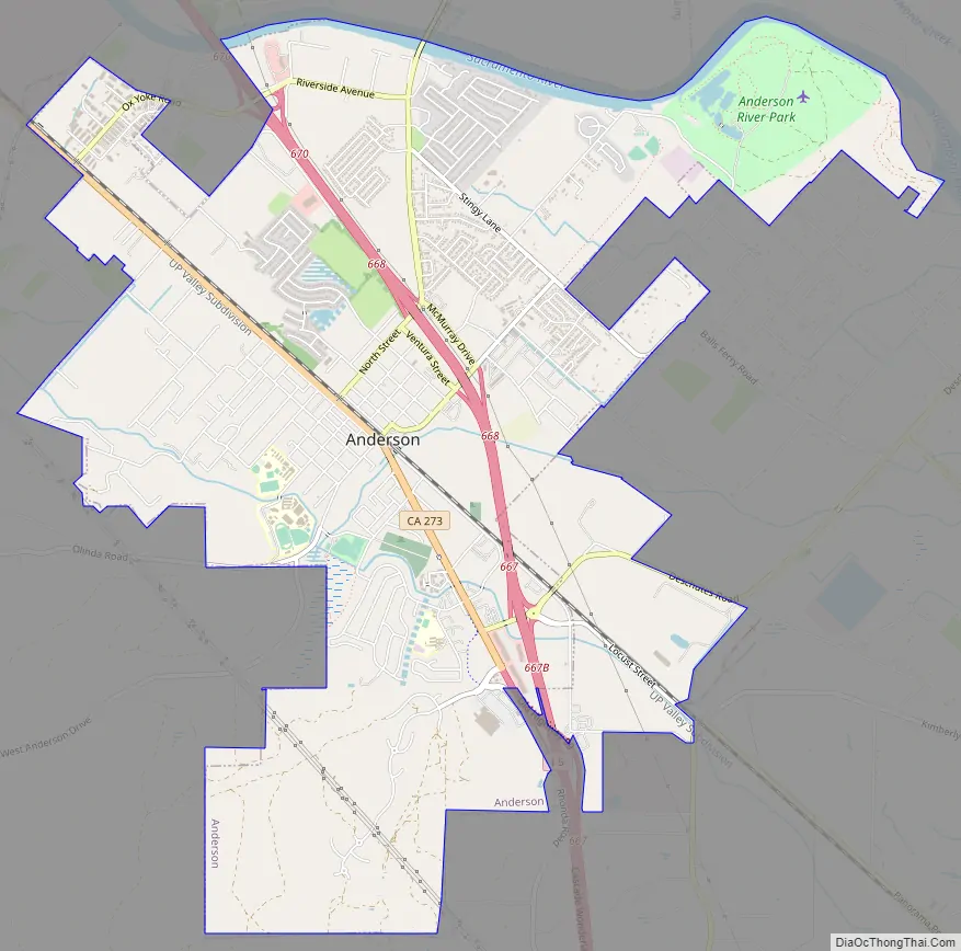
Anderson Road Map
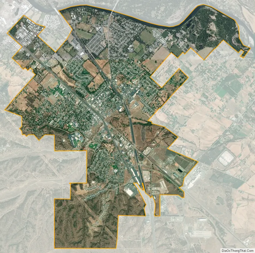
Anderson city Satellite Map
Geography
Anderson is located at 40°27′08″N 122°17′48″W / 40.452092°N 122.296560°W / 40.452092; -122.296560.
According to the United States Census Bureau, the city has a total area of 6.6 square miles (17 km), of which 6.4 square miles (17 km) of it is land and 0.2 square miles (0.52 km) of it (3.74%) is water.
Climate
According to the Köppen Climate Classification system, Anderson has a Hot-summer Mediterranean climate, abbreviated “Csa” on climate maps.
See also
Map of California State and its subdivision:- Alameda
- Alpine
- Amador
- Butte
- Calaveras
- Colusa
- Contra Costa
- Del Norte
- El Dorado
- Fresno
- Glenn
- Humboldt
- Imperial
- Inyo
- Kern
- Kings
- Lake
- Lassen
- Los Angeles
- Madera
- Marin
- Mariposa
- Mendocino
- Merced
- Modoc
- Mono
- Monterey
- Napa
- Nevada
- Orange
- Placer
- Plumas
- Riverside
- Sacramento
- San Benito
- San Bernardino
- San Diego
- San Francisco
- San Joaquin
- San Luis Obispo
- San Mateo
- Santa Barbara
- Santa Clara
- Santa Cruz
- Shasta
- Sierra
- Siskiyou
- Solano
- Sonoma
- Stanislaus
- Sutter
- Tehama
- Trinity
- Tulare
- Tuolumne
- Ventura
- Yolo
- Yuba
- Alabama
- Alaska
- Arizona
- Arkansas
- California
- Colorado
- Connecticut
- Delaware
- District of Columbia
- Florida
- Georgia
- Hawaii
- Idaho
- Illinois
- Indiana
- Iowa
- Kansas
- Kentucky
- Louisiana
- Maine
- Maryland
- Massachusetts
- Michigan
- Minnesota
- Mississippi
- Missouri
- Montana
- Nebraska
- Nevada
- New Hampshire
- New Jersey
- New Mexico
- New York
- North Carolina
- North Dakota
- Ohio
- Oklahoma
- Oregon
- Pennsylvania
- Rhode Island
- South Carolina
- South Dakota
- Tennessee
- Texas
- Utah
- Vermont
- Virginia
- Washington
- West Virginia
- Wisconsin
- Wyoming