Alturas (Spanish for “Heights”; Achumawi: Kasalektawi) is a city and the county seat of Modoc County, California. Located in the Shasta Cascade region of Northern California, the city had a population of 2,715 at the 2020 census. Alturas is located at the confluence of the south and north forks of the Pit River, east of the center of Modoc County, at an elevation of 4,370 feet (1,330 m). Alturas is one of the largest cities in the region and a local economic hub.
| Name: | Alturas city |
|---|---|
| LSAD Code: | 25 |
| LSAD Description: | city (suffix) |
| State: | California |
| County: | Modoc County |
| Incorporated: | September 16, 1901 |
| Elevation: | 4,370 ft (1,332 m) |
| Total Area: | 2.85 sq mi (7.39 km²) |
| Land Area: | 2.84 sq mi (7.35 km²) |
| Water Area: | 0.02 sq mi (0.05 km²) 0.57% |
| Total Population: | 2,715 |
| Population Density: | 957.33/sq mi (369.61/km²) |
| ZIP code: | 96101 |
| Area code: | 530 |
| FIPS code: | 0601444 |
| Website: | www.cityofalturas.us |
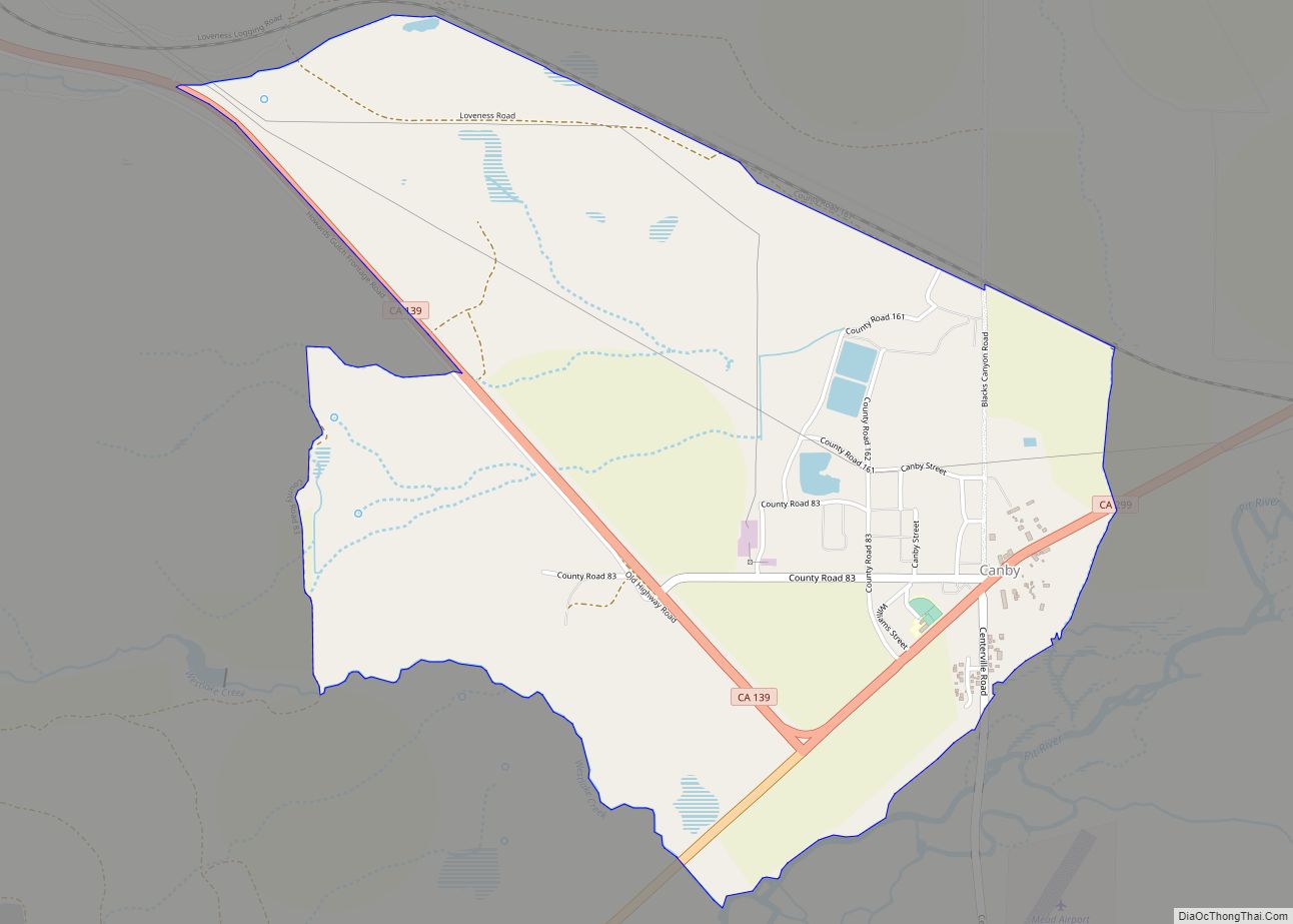
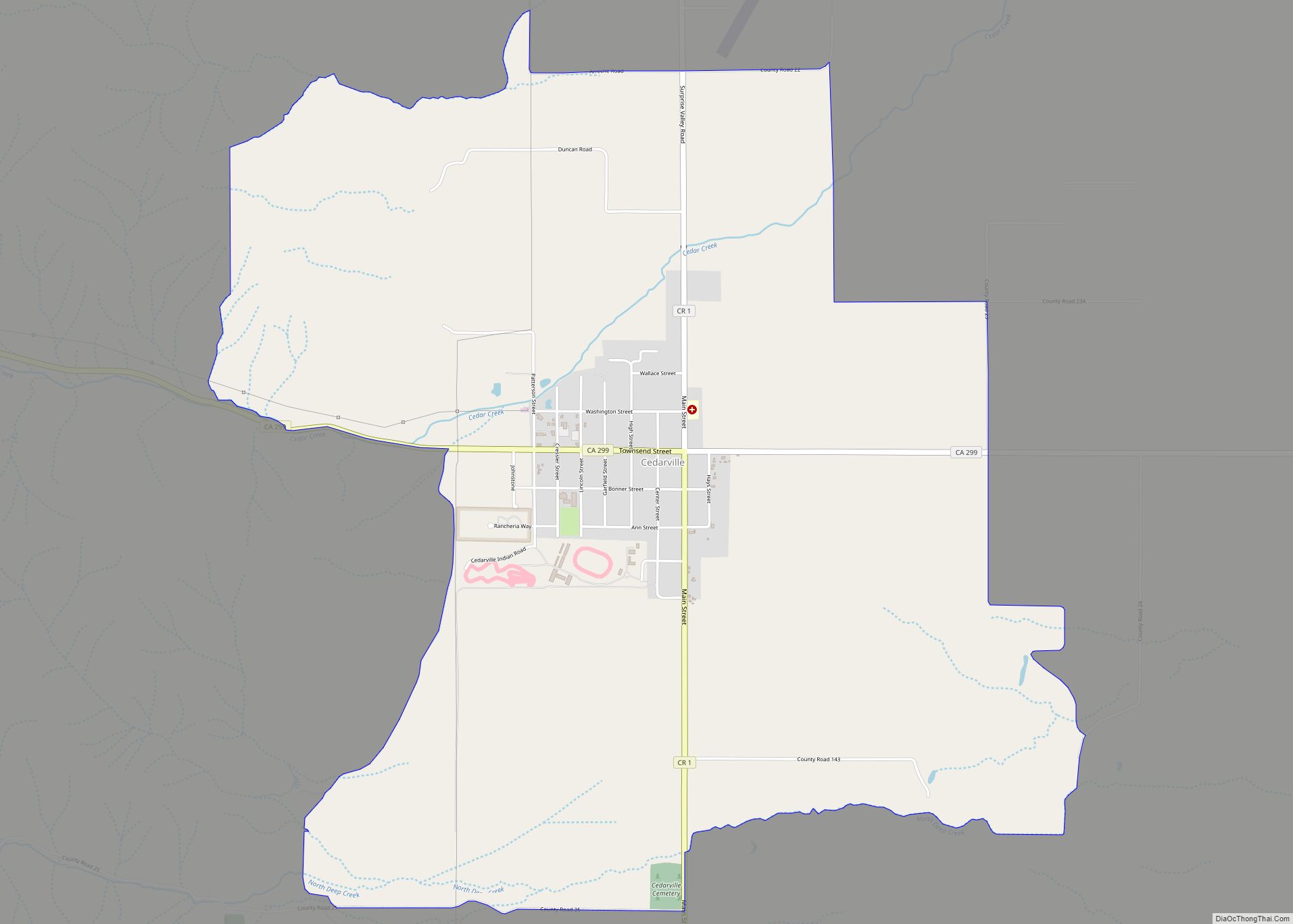
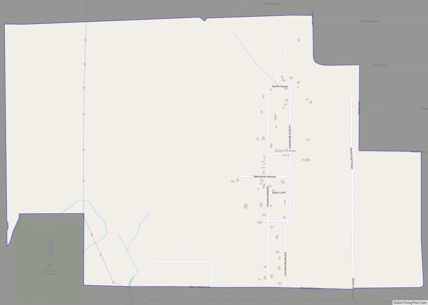
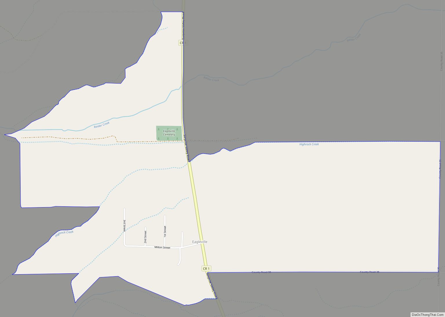
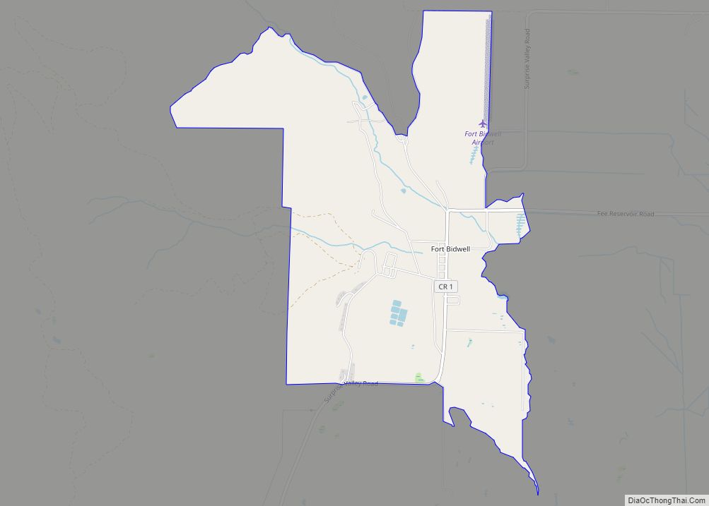
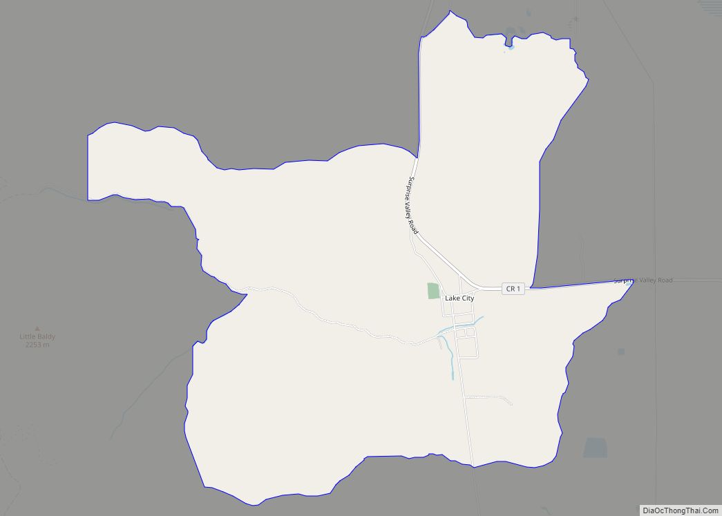
Online Interactive Map
Click on ![]() to view map in "full screen" mode.
to view map in "full screen" mode.
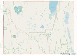
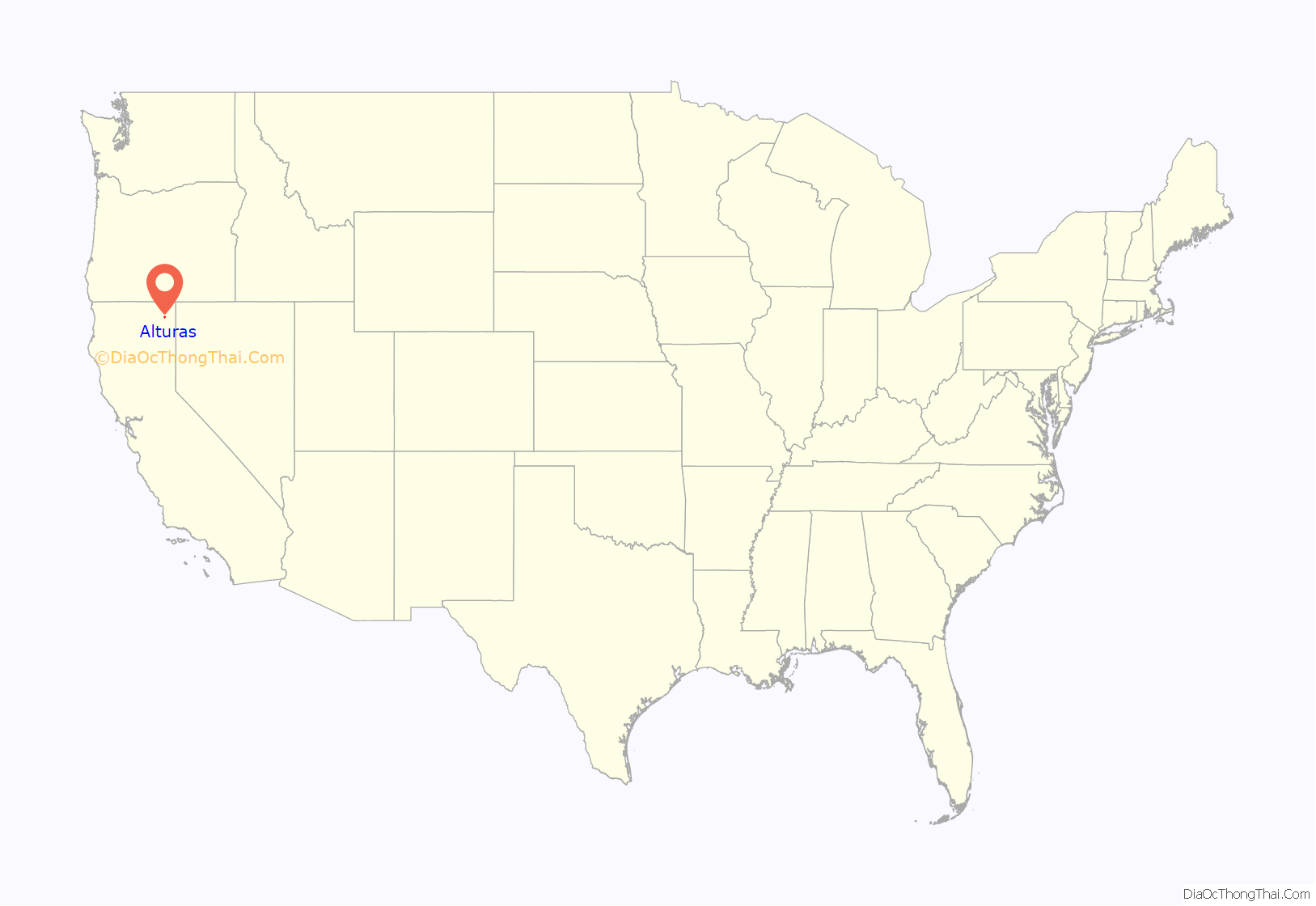
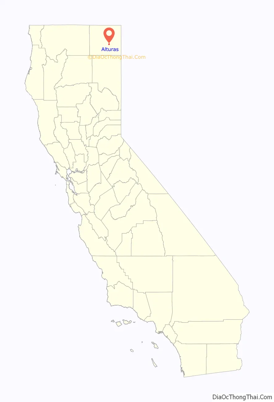
Alturas location map. Where is Alturas city?
History
Alturas occupies what was initially an Achumawi (Pit River) village known as Kosealekte or Kasalektawi. The city was initially known as Dorris Bridge or Dorris’ Bridge, named after Pressley and James Dorris, who built a bridge across the Pit River at this location.
The Dorris Bridge post office opened in 1871. The town was renamed Dorrisville in 1874 and Alturas in 1876, the latter meaning “heights” in Spanish. The census of 1880 showed a population of 148. However, settlement continued over the next two decades, until the city was incorporated on September 16, 1901. Because of its central location, Dorrisville became the county seat when Modoc County formed in 1874, even though both Adin and Cedarville were then larger towns.
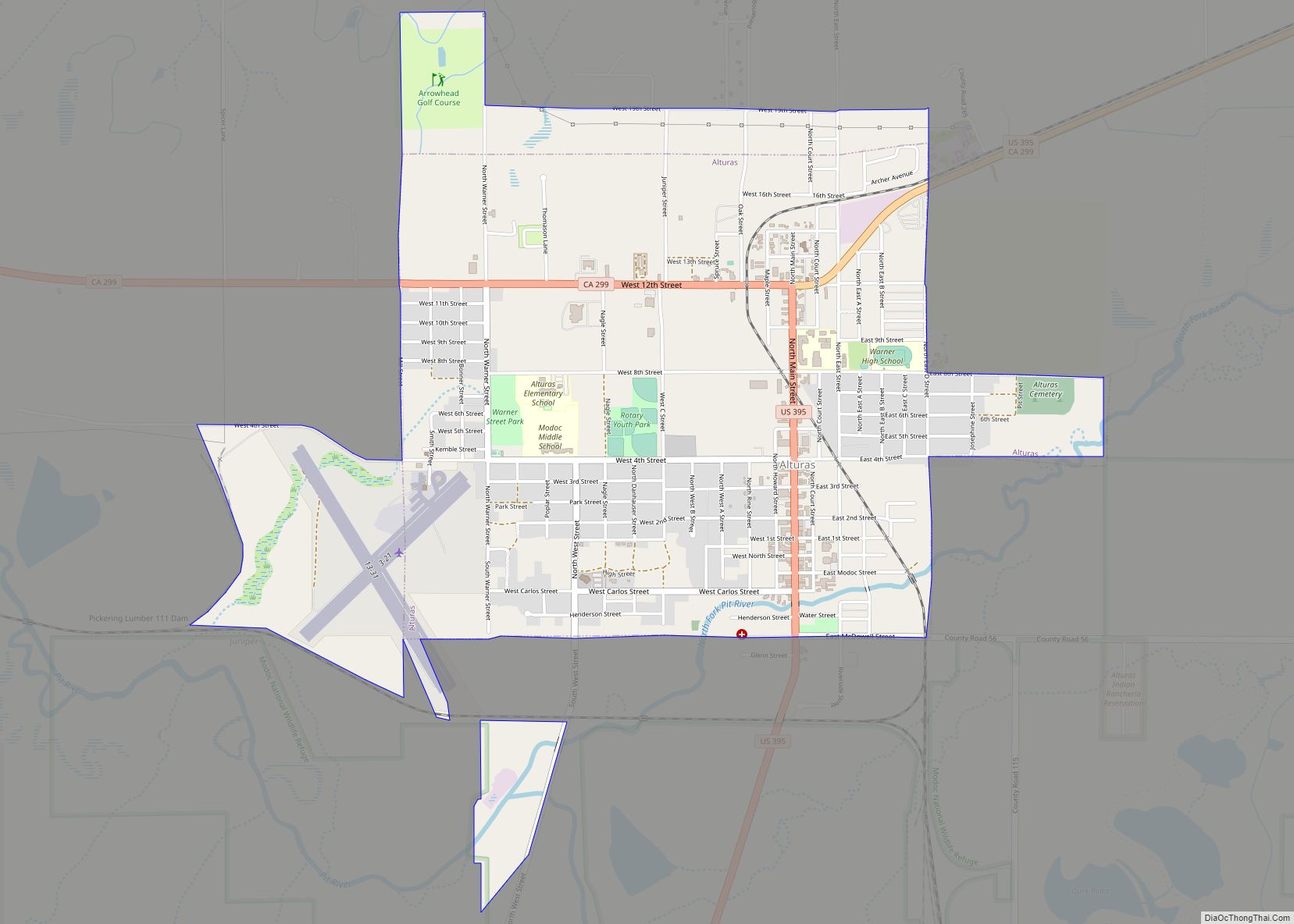
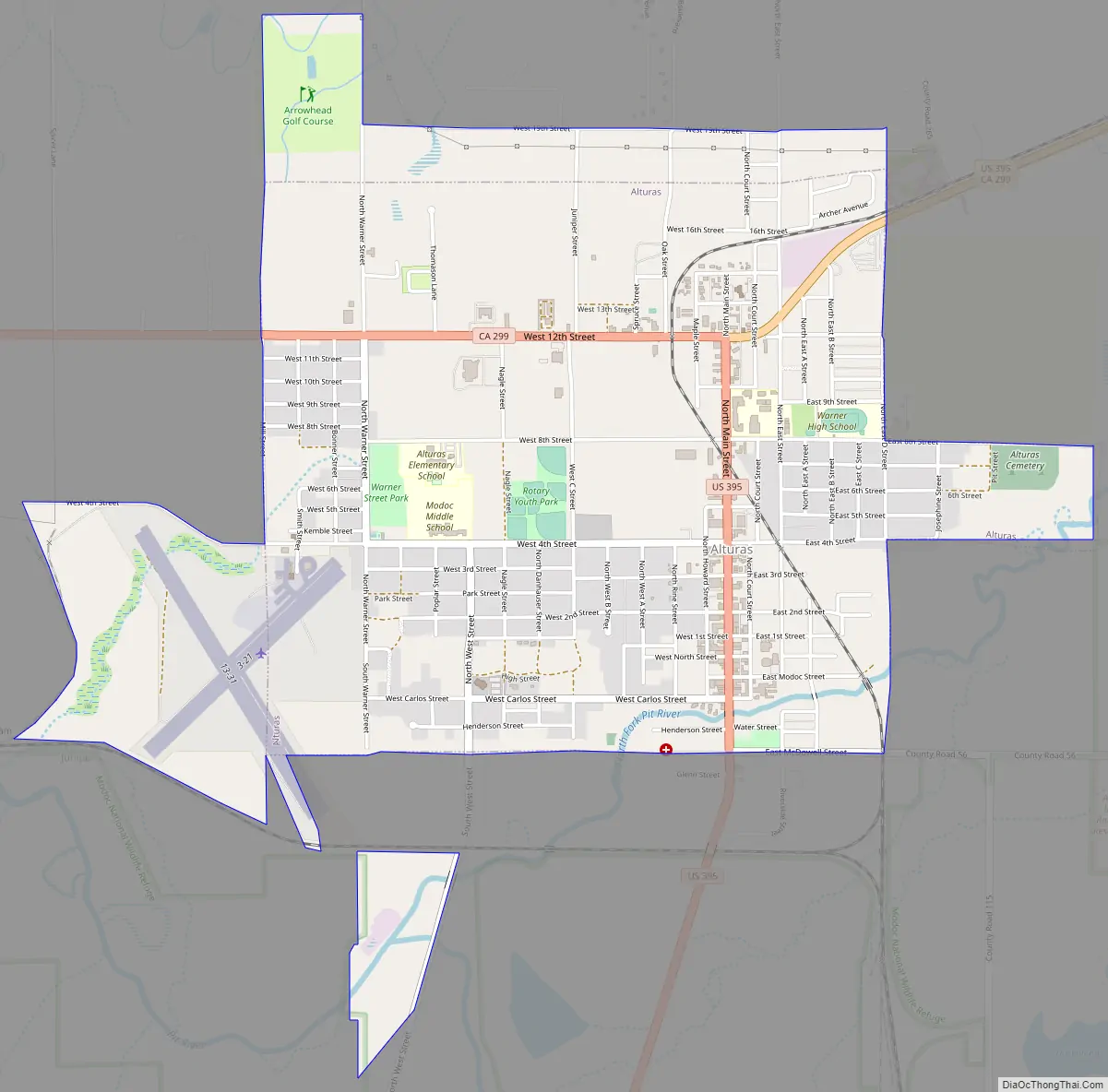
Alturas Road Map
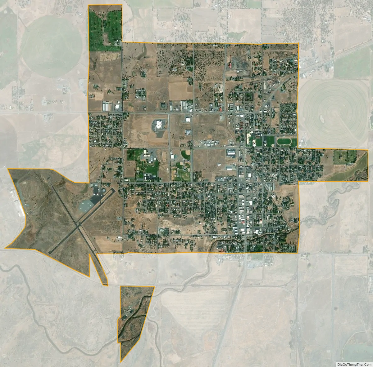
Alturas city Satellite Map
Geography
Alturas straddles the North Fork of the Pit River, near its confluence with the South Fork in the north end of South Fork Valley, in the extreme northeastern corner of California at 41°29′14″N 120°32′33″W / 41.48722°N 120.54250°W / 41.48722; -120.54250. The tall Warner Mountains lie to the east, the wetlands and wild rice fields of South Fork Valley to the south, and the extensive Modoc Plateau to the north.
According to the United States Census Bureau, the city has a total area of 2.4 square miles (6.2 km) and 0.57% of it is covered by water.
Climate
The climate in Alturas has a dry-summer continental climate (Köppen: Dsb). The average January temperatures are a high of 43.0 °F (6.1 °C) and a low of 20.6 °F (−6.3 °C). The average July temperatures are a high of 89.1 °F (31.7 °C) and a low of 47.2 °F (8.4 °C). There are an average of 39.8 days with highs of 90 °F (32.2 °C) or higher and an average of 195.5 days with lows of 32 °F (0 °C) or lower. The record high was 107 °F (41.7 °C) on July 19, 1960 and July 10–11, 2002, and the record low was −34 °F (−36.7 °C) on December 9, 1972. Freezing temperatures have occurred in every month of the year; cool nights are common even on the hottest summer days.
Precipitation averages 11.68 inches (297 mm) annually. There are an average of 90.8 days with measurable precipitation. The wettest year was 1952 with 20.80 in (528 mm) and the driest year was 2013 with 6.29 in (160 mm). The most precipitation in one month was 6.17 in (156.7 mm) in October 1962, and the most in 24 hours was 3.51 in (89.2 mm) on December 11, 1937. Snowfall averages 30.9 in (78 cm) per season. The most snowfall in a season was 85.5 in (217 cm) in 1952.
See also
Map of California State and its subdivision:- Alameda
- Alpine
- Amador
- Butte
- Calaveras
- Colusa
- Contra Costa
- Del Norte
- El Dorado
- Fresno
- Glenn
- Humboldt
- Imperial
- Inyo
- Kern
- Kings
- Lake
- Lassen
- Los Angeles
- Madera
- Marin
- Mariposa
- Mendocino
- Merced
- Modoc
- Mono
- Monterey
- Napa
- Nevada
- Orange
- Placer
- Plumas
- Riverside
- Sacramento
- San Benito
- San Bernardino
- San Diego
- San Francisco
- San Joaquin
- San Luis Obispo
- San Mateo
- Santa Barbara
- Santa Clara
- Santa Cruz
- Shasta
- Sierra
- Siskiyou
- Solano
- Sonoma
- Stanislaus
- Sutter
- Tehama
- Trinity
- Tulare
- Tuolumne
- Ventura
- Yolo
- Yuba
- Alabama
- Alaska
- Arizona
- Arkansas
- California
- Colorado
- Connecticut
- Delaware
- District of Columbia
- Florida
- Georgia
- Hawaii
- Idaho
- Illinois
- Indiana
- Iowa
- Kansas
- Kentucky
- Louisiana
- Maine
- Maryland
- Massachusetts
- Michigan
- Minnesota
- Mississippi
- Missouri
- Montana
- Nebraska
- Nevada
- New Hampshire
- New Jersey
- New Mexico
- New York
- North Carolina
- North Dakota
- Ohio
- Oklahoma
- Oregon
- Pennsylvania
- Rhode Island
- South Carolina
- South Dakota
- Tennessee
- Texas
- Utah
- Vermont
- Virginia
- Washington
- West Virginia
- Wisconsin
- Wyoming