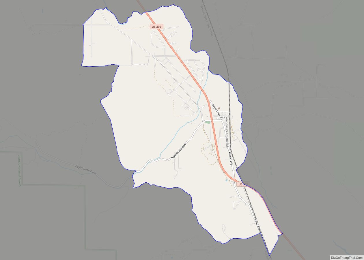
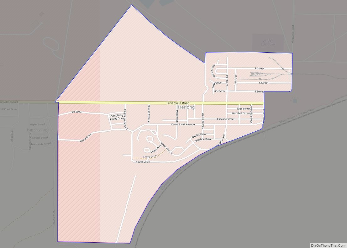
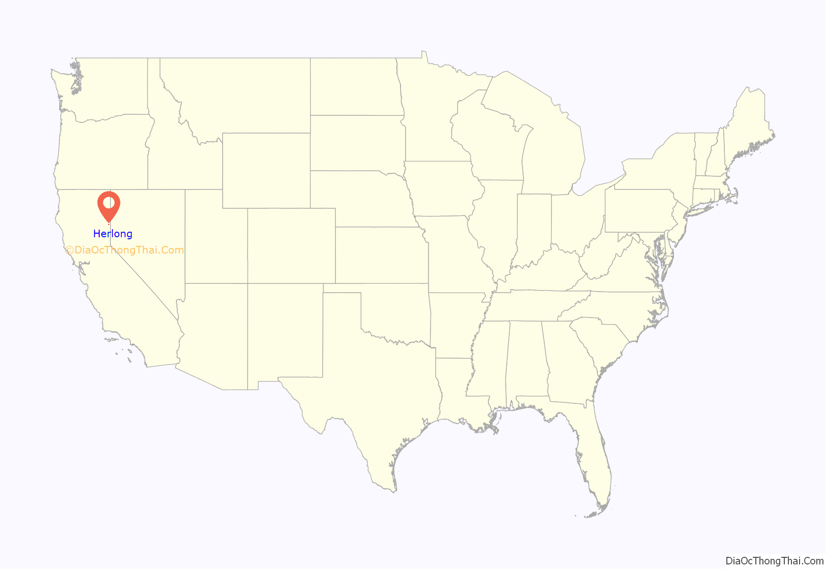
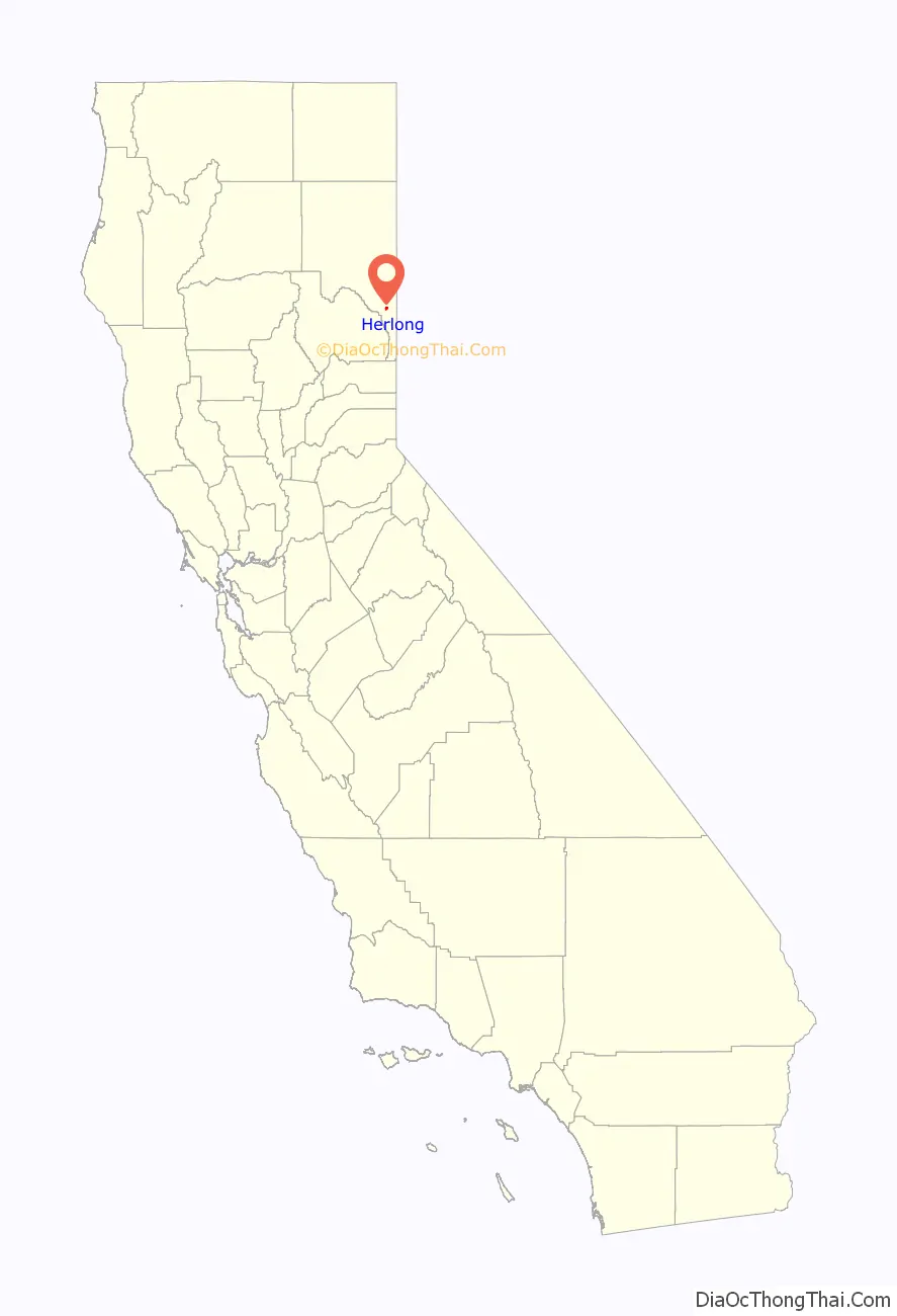
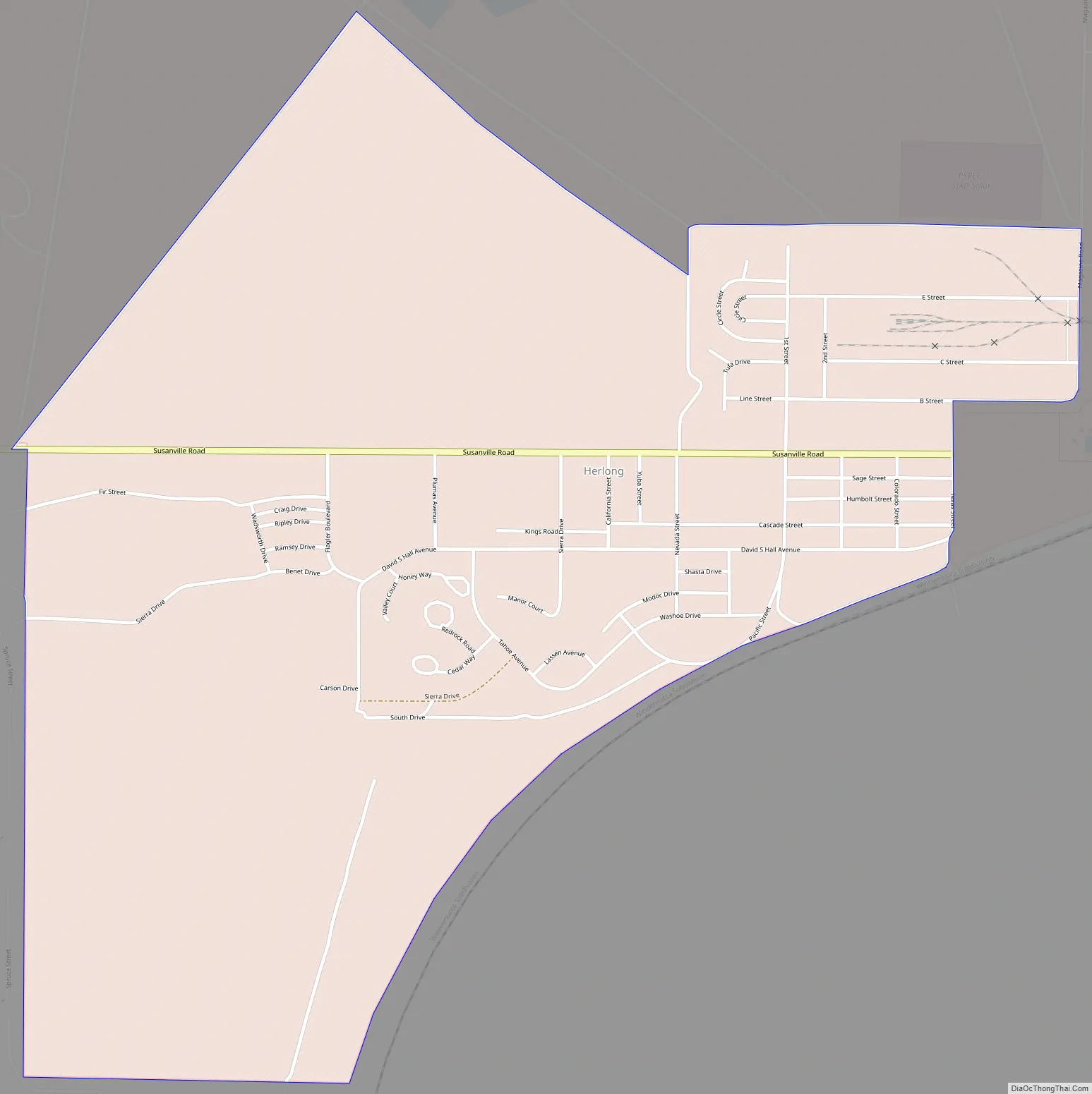
Herlong is a census-designated place in Lassen County, California. Herlong is located at the extreme eastern edge of the Sierra Nevada Mountain Range in the southeastern region of Honey Lake Valley, 8 miles (13 km) north of Doyle, at an elevation of 4,114 feet (1,254 m). Its population is 237 as of the 2020 census, down from 298 from the 2010 census. Herlong is located in southern Lassen County near the southeast edge of Honey Lake, about 70 miles (110 km) north of Reno, Nevada, and about 45 miles (72 km) south of Susanville, the county seat. The community is accessible to U.S. Route 395 via Lassen County Route A25 or Lassen County Route A26.
| Name: | Herlong CDP |
|---|---|
| LSAD Code: | 57 |
| LSAD Description: | CDP (suffix) |
| State: | California |
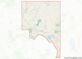
| County: | Lassen County |
| Elevation: | 4,114 ft (1,254 m) |
| Total Area: | 1.628 sq mi (4.217 km²) |
| Land Area: | 1.628 sq mi (4.217 km²) |
| Water Area: | 0 sq mi (0 km²) 0% |
| Total Population: | 237 |
| Population Density: | 150/sq mi (56/km²) |
| ZIP code: | 96113 |
| Area code: | 530 |
| FIPS code: | 0633336 |
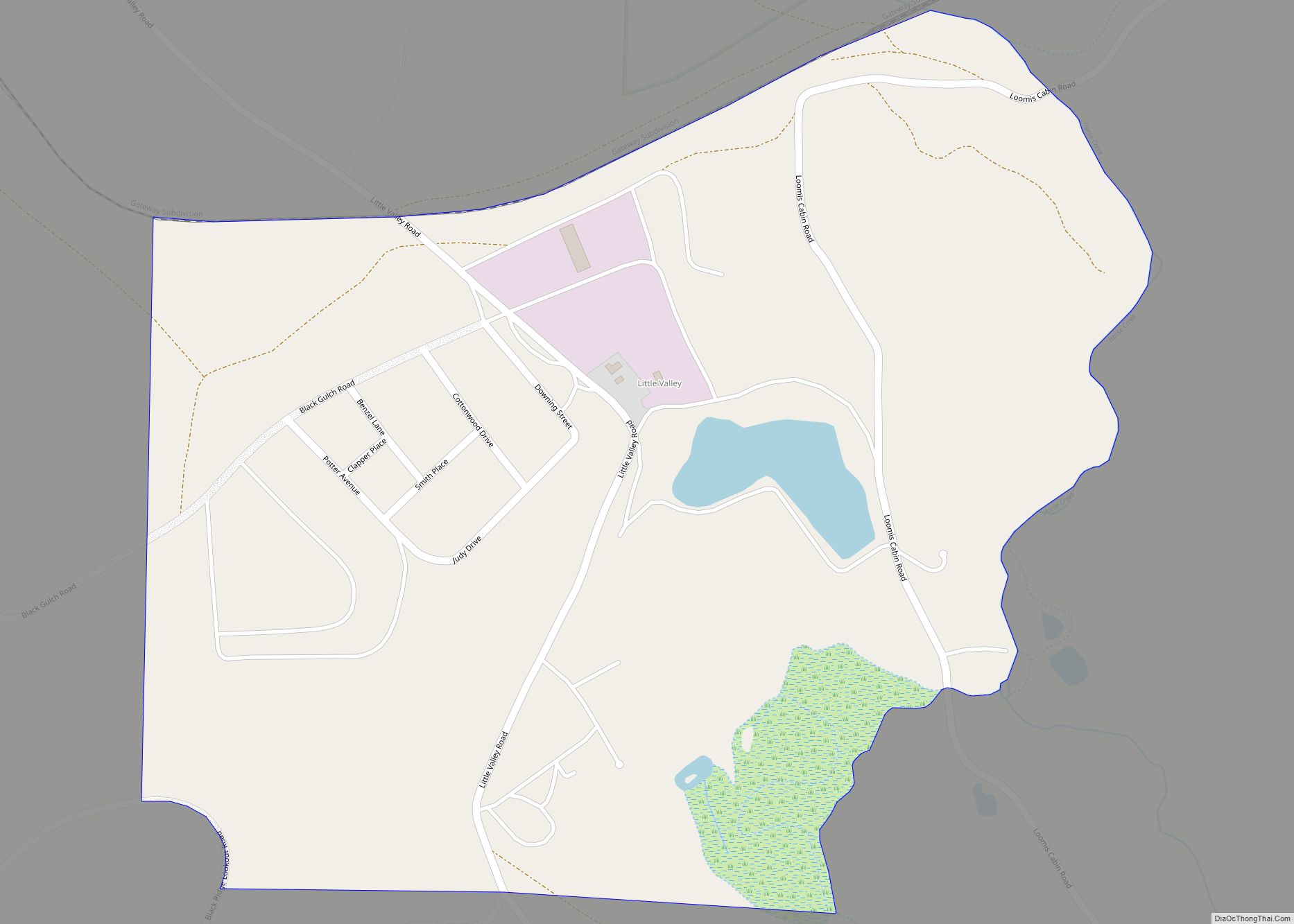
Online Interactive Map
Click on ![]() to view map in "full screen" mode.
to view map in "full screen" mode.
Herlong location map. Where is Herlong CDP?
History
Herlong was developed in 1942 after the attack on Pearl Harbor during World War II, to house civilian workers to support the Sierra Army Depot, one of several ammunition storage facilities located inland in order to be safe from Japanese attack. The site also met the requirement of being a dry and isolated area. The community was named after Captain Henry W. Herlong, the first United States Army ordnance officer to die in World War II. The postal stamps, money orders and equipment bore the spelling “Hurlong”, which lasted for about five days; the error was discovered and corrected.
In the 21st century, Sierra Army Depot serves as the Army’s End of First Life Center and the CONUS-based Army Prepositioned Stock Site. It continues to provide expeditionary logistics support and long-term sustainment solutions.
Since its beginning, the town has varied in size. Its population peaked at about 5,000 in the 1950s, consisting mostly of civilian employees on the base and their families. As of the 2010 census, the community had 298 people.
Herlong has several churches, including the Bible Baptist Church, Assembly of God, and Southern Baptist. The State Office of Historic Preservation lists 62 historic properties in Herlong on its Historic Properties Data File for Lassen County. This is one of the last counties in California that is still considered to be “open range” land.
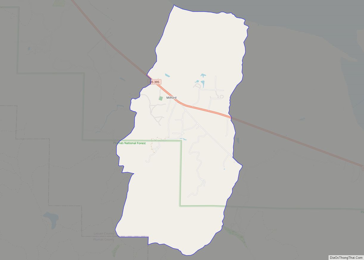
Herlong Road Map
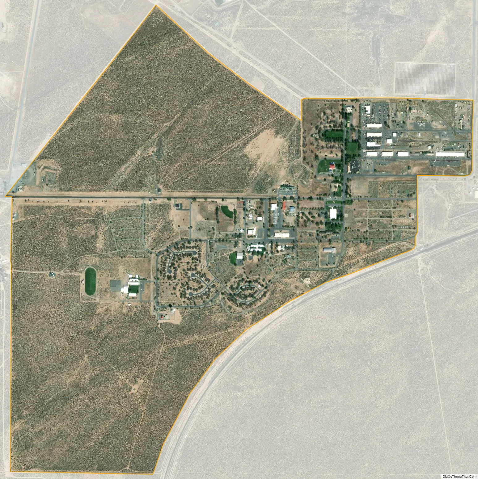
Herlong city Satellite Map
Geography
According to the United States Census Bureau, the CDP has a total area of 1.6 square miles (4.1 km), all land.
Climate
This region experiences warm (but not hot) and dry summers, with no average monthly temperatures above 71.6 °F. According to the Köppen Climate Classification system, Herlong has a warm-summer Mediterranean climate, abbreviated “Csb” on climate maps.
See also
Map of California State and its subdivision:- Alameda
- Alpine
- Amador
- Butte
- Calaveras
- Colusa
- Contra Costa
- Del Norte
- El Dorado
- Fresno
- Glenn
- Humboldt
- Imperial
- Inyo
- Kern
- Kings
- Lake
- Lassen
- Los Angeles
- Madera
- Marin
- Mariposa
- Mendocino
- Merced
- Modoc
- Mono
- Monterey
- Napa
- Nevada
- Orange
- Placer
- Plumas
- Riverside
- Sacramento
- San Benito
- San Bernardino
- San Diego
- San Francisco
- San Joaquin
- San Luis Obispo
- San Mateo
- Santa Barbara
- Santa Clara
- Santa Cruz
- Shasta
- Sierra
- Siskiyou
- Solano
- Sonoma
- Stanislaus
- Sutter
- Tehama
- Trinity
- Tulare
- Tuolumne
- Ventura
- Yolo
- Yuba
- Alabama
- Alaska
- Arizona
- Arkansas
- California
- Colorado
- Connecticut
- Delaware
- District of Columbia
- Florida
- Georgia
- Hawaii
- Idaho
- Illinois
- Indiana
- Iowa
- Kansas
- Kentucky
- Louisiana
- Maine
- Maryland
- Massachusetts
- Michigan
- Minnesota
- Mississippi
- Missouri
- Montana
- Nebraska
- Nevada
- New Hampshire
- New Jersey
- New Mexico
- New York
- North Carolina
- North Dakota
- Ohio
- Oklahoma
- Oregon
- Pennsylvania
- Rhode Island
- South Carolina
- South Dakota
- Tennessee
- Texas
- Utah
- Vermont
- Virginia
- Washington
- West Virginia
- Wisconsin
- Wyoming