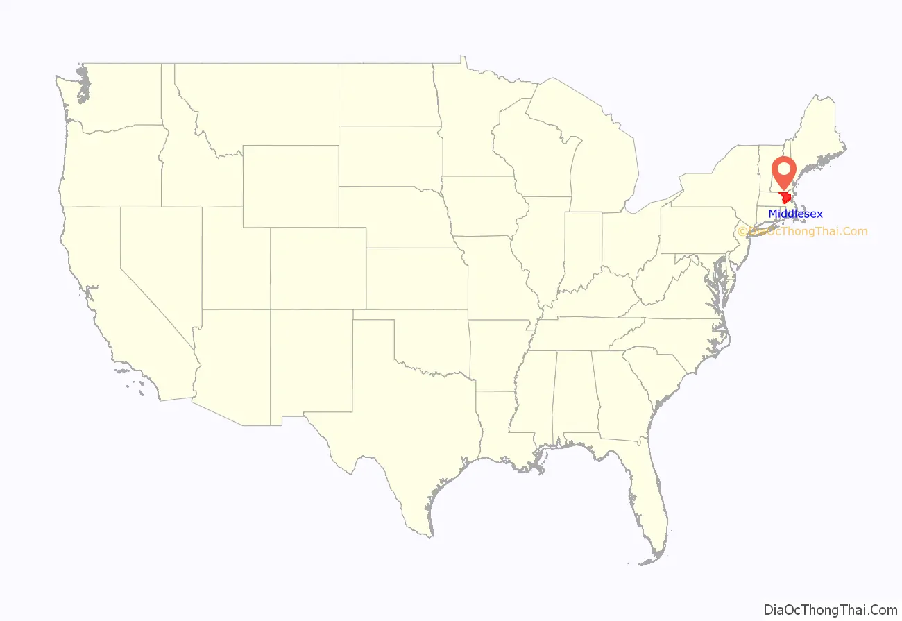
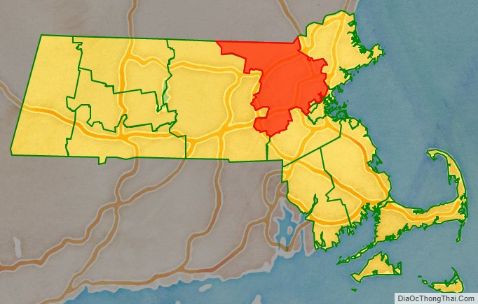
Middlesex County is located in the Commonwealth of Massachusetts, in the United States. As of the 2020 census, the population was 1,632,002, making it the most populous county in both Massachusetts and New England and the 22nd most populous county in the United States. Middlesex County is one of two U.S. counties (along with Santa Clara County, California) to be amongst the top 25 counties with the highest household income and the 25 most populated counties. It is included in the Census Bureau’s Boston–Cambridge–Newton, MA–NH Metropolitan Statistical Area. As part of the 2020 United States census, the Commonwealth’s mean center of population for that year was geo-centered in Middlesex County, in the town of Natick (this is not to be confused with the geographic center of Massachusetts, which is in Rutland, Worcester County).
On July 11, 1997, Massachusetts abolished the executive government of Middlesex County primarily due to the county’s insolvency. Middlesex County continues to exist as a geographic boundary but it is used primarily as district jurisdictions within the court system and for other administrative purposes; for example, as an election district. The National Weather Service weather alerts (such as severe thunderstorm warning) continue to localize based upon Massachusetts’s counties.
| Name: | Middlesex County |
|---|---|
| FIPS code: | 25-017 |
| State: | Massachusetts |
| Founded: | May 10, 1643 |
| Named for: | Middlesex, England |
| Seat: | Lowell and Cambridge |
| Largest city: | Cambridge |
| Total Area: | 847 sq mi (2,190 km²) |
| Land Area: | 818 sq mi (2,120 km²) |
| Total Population: | 1,632,002 |
| Population Density: | 1,996/sq mi (771/km²) |
| Time zone: | UTC−5 (Eastern) |
| Summer Time Zone (DST): | UTC−4 (EDT) |
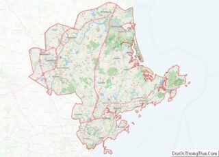
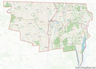
Middlesex County location map. Where is Middlesex County?
History
The county was created by the Massachusetts General Court on May 10, 1643, when it was ordered that “the whole plantation within this jurisdiction be divided into four shires.” Middlesex initially contained Charlestown, Cambridge, Watertown, Sudbury, Concord, Woburn, Medford, and Reading. In 1649 the first Middlesex County Registry of Deeds was created in Cambridge.
On April 19, 1775, Middlesex was site of the first armed conflict of the American Revolutionary War.
In 1855, the Massachusetts State Legislature created a minor Registry of Deeds for the Northern District of Middlesex County in Lowell.
In the late 19th century and early 20th century, Boston annexed several of its adjacent cities and towns including Charlestown and Brighton from Middlesex County, resulting in an enlargement and accretion toward Suffolk County.
Beginning prior to dissolution of the executive county government, the county comprised two regions with separate county seats for administrative purposes:
- The Middlesex-North District (smaller) with its county seat in Lowell under the Registry of Deeds consisted of the city of Lowell, and its adjacent towns of Billerica, Carlisle, Chelmsford, Dracut, Dunstable, Tewksbury, Tyngsborough, Westford and Wilmington.
- The Middlesex-South District (larger) with the county seat in Cambridge consisted of the remaining 44 cities and towns of Middlesex County.
Since the start of the 21st century much of the current and former county offices have physically decentralized from the Cambridge seat, with the sole exceptions being the Registry of Deeds and the Middlesex Probate and Family Court, which both retain locations in Cambridge and Lowell. Since the first quarter of 2008, the Superior Courthouse has been seated in the city of Woburn; the Sheriff’s Office is now administratively seated in the city of Medford and the Cambridge-based County Jail has since been amalgamated with another county jail facility in Billerica. The Cambridge District Court (which has jurisdiction for Arlington, Belmont and Cambridge); along with the Middlesex County District Attorney’s Office, although not a part of the Middlesex County government, was also relatedly forced to relocate to Medford at the time of the closure of the Superior Courthouse building in Cambridge.
Law and government
Of the fourteen counties of Massachusetts, Middlesex is one of eight which have had no county government or county commissioners since July 1, 1998, when county functions were assumed by state agencies at local option following a change in state law. Immediately prior to its dissolution, the executive branch consisted of three County Commissioners elected at-large to staggered four-year terms. There was a County Treasurer elected to a six-year term. The county derived its revenue primarily from document filing fees at the Registries of Deeds and from a Deeds Excise Tax; also a transfer tax was assessed on the sale price of real estate and collected by the Registries of Deeds.
Budgets as proposed by the County Commissioners were approved by a County Advisory Board that consisted of a single representative of each of the 54 cities and towns in Middlesex County. The votes of the individual members of the Advisory Board were weighted based on the overall valuation of property in their respective communities.
The County Sheriff and two Registers of Deeds (one for the Northern District at Lowell and another for the Southern District at Cambridge) are each elected to serve six-year terms. Besides the employees of the Sheriff’s Office and the two Registries of Deeds, the county had a Maintenance Department, a Security Department, some administrative staff in the Treasurer’s and Commissioners’ Offices, and the employees of the hospital.
The county government also owned and operated the Superior Courthouse, one of which was formerly in Cambridge (since 2008 relocated to Woburn.) and one in Lowell; and the defunct Middlesex County Hospital in the city of Waltham.
The legislation abolishing the Middlesex County executive retained the Sheriff and Registers of Deeds as independently elected officials, and transferred the Sheriff’s Office under the state Department of Public Safety and the two Registry of Deeds offices to the Massachusetts Secretary of State’s Office. Additionally, all county maintenance and security employees were absorbed into the corresponding staffs of the Massachusetts Trial Court. The legislation also transferred ownership of the two Superior Courthouses to the Commonwealth of Massachusetts. The hospital was closed. Finally, the office of County Commissioner was immediately abolished and the office of County Treasurer was abolished as of December 31, 2002. Any county roads transferred to the Commonwealth as part of the dissolution. The other administrative duties (such as Sheriff, Department of Deeds and court system, etc.) and all supporting staff were transferred under the Commonwealth as well.
Administrative structure today
Records of land ownership in Middlesex County continue to be maintained at the two Registries of Deeds. Besides the Sheriff and the two Registers of Deeds, the Middlesex District Attorney, the Middlesex Register of Probate and the Middlesex Clerk of Courts (which were already part of state government before the abolition of Middlesex County government) are all elected countywide to six-year terms.
In Middlesex County (as in the entirety of the Commonwealth of Massachusetts), the governmental functions such as property tax assessment and collection, public education, road repair and maintenance, and elections were all conducted at the municipal city and town level and not by the county government.
In 2012 the 22-story Superior Court Building in Cambridge which was transferred from the abolished Executive County government was sold by the Commonwealth of Massachusetts. Due to its transfer from state control, many local residents had tried to force the private developers to reduce the overall height of the structure.
Even following abolition of the executive branch for county government in Middlesex, communities are still granted a right by the Massachusetts state legislature to form their own regional compacts for sharing of services and costs thereof.
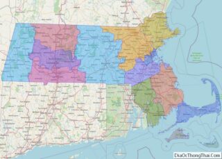
Middlesex County Road Map
Geography
According to the U.S. Census Bureau, the county has a total area of 847 square miles (2,190 km), of which 818 square miles (2,120 km) is land and 29 square miles (75 km) (3.5%) is water. It is the third-largest county in Massachusetts by land area.
It is bounded southeast by the Charles River, and drained by the Merrimack, Nashua, and Concord rivers, and other streams.
The MetroWest region comprises much of the southern portion of the county.
Adjacent counties
- Hillsborough County, New Hampshire (north)
- Essex County (northeast)
- Suffolk County (southeast)
- Norfolk County (south)
- Worcester County (west)
Transportation
These routes pass through Middlesex County
- I-90, From Hopkinton to Newton
- I-93, From Somerville to Tewksbury
- I-95, From Newton to Wakefield
- I-290, In Marlboro
- I-495, From Hopkinton to Tewksbury
- US 1, From Cambridge to Malden
- US 3/Route 3, From Cambridge to Tyngsborough
- US 20, From Marlborough to Watertown
- Route 2, From Littleton to Cambridge
- Route 2A, From Shirley to Cambridge
- Route 3A, From Burlington to Tyngsborough
- Route 4, From Lexington-Arlington line to Chelmsford
- Route 9, From Framingham to Newton
- Route 13, In Townsend
- Route 16, From Holliston to Everett
- Route 27, From Sherborn to Chelmsford
- Route 28, From Cambridge to North Reading
- Route 30, From Framingham to Newton
- Route 31, In Ashby
- Route 38, From Somerville to Dracut
- Route 40, From Groton to Chelmsford
- Route 60, From Waltham to Malden
- Route 62, From Hudson to North Reading
- Route 85, From Hopkinton to Hudson
- Route 99, From Everett to Melrose
- Route 110, From Ayer to Dracut
- Route 111, From Concord to Pepperell
- Route 113, From Pepperell to Dracut
- Route 115, In Sherborn
- Route 117, From Stow to Waltham
- Route 119, From Concord to Ashby
- Route 125, From Wilmington to North Reading
- Route 126, From Holliston to Concord
- Route 128, From Newton to Wakefield
- Route 129, From Chelmsford to Wakefield
- Route 133, From Lowell to Tewksbury
- Route 135, From Hopkinton to Natick
- Route 225, From Shirley to Lexington
National protected areas
- Assabet River National Wildlife Refuge
- Great Meadows National Wildlife Refuge
- Longfellow House–Washington’s Headquarters National Historic Site
- Lowell National Historical Park
- Minute Man National Historical Park
- Oxbow National Wildlife Refuge (part)
