Burlington is a town in Middlesex County, Massachusetts, United States. The population was 26,377 at the 2020 census.
| Name: | Burlington CDP |
|---|---|
| LSAD Code: | 57 |
| LSAD Description: | CDP (suffix) |
| State: | Massachusetts |
| County: | Middlesex County |
| Incorporated: | February 28, 1799 |
| Elevation: | 218 ft (66 m) |
| Total Area: | 11.9 sq mi (30.8 km²) |
| Land Area: | 11.8 sq mi (30.6 km²) |
| Water Area: | 0.1 sq mi (0.2 km²) |
| Total Population: | 26,377 |
| Population Density: | 2,200/sq mi (860/km²) |
| ZIP code: | 01803, 01805 |
| Area code: | 339 / 781 / 617 |
| FIPS code: | 2509875 |
| GNISfeature ID: | 0618219 |
Online Interactive Map
Click on ![]() to view map in "full screen" mode.
to view map in "full screen" mode.
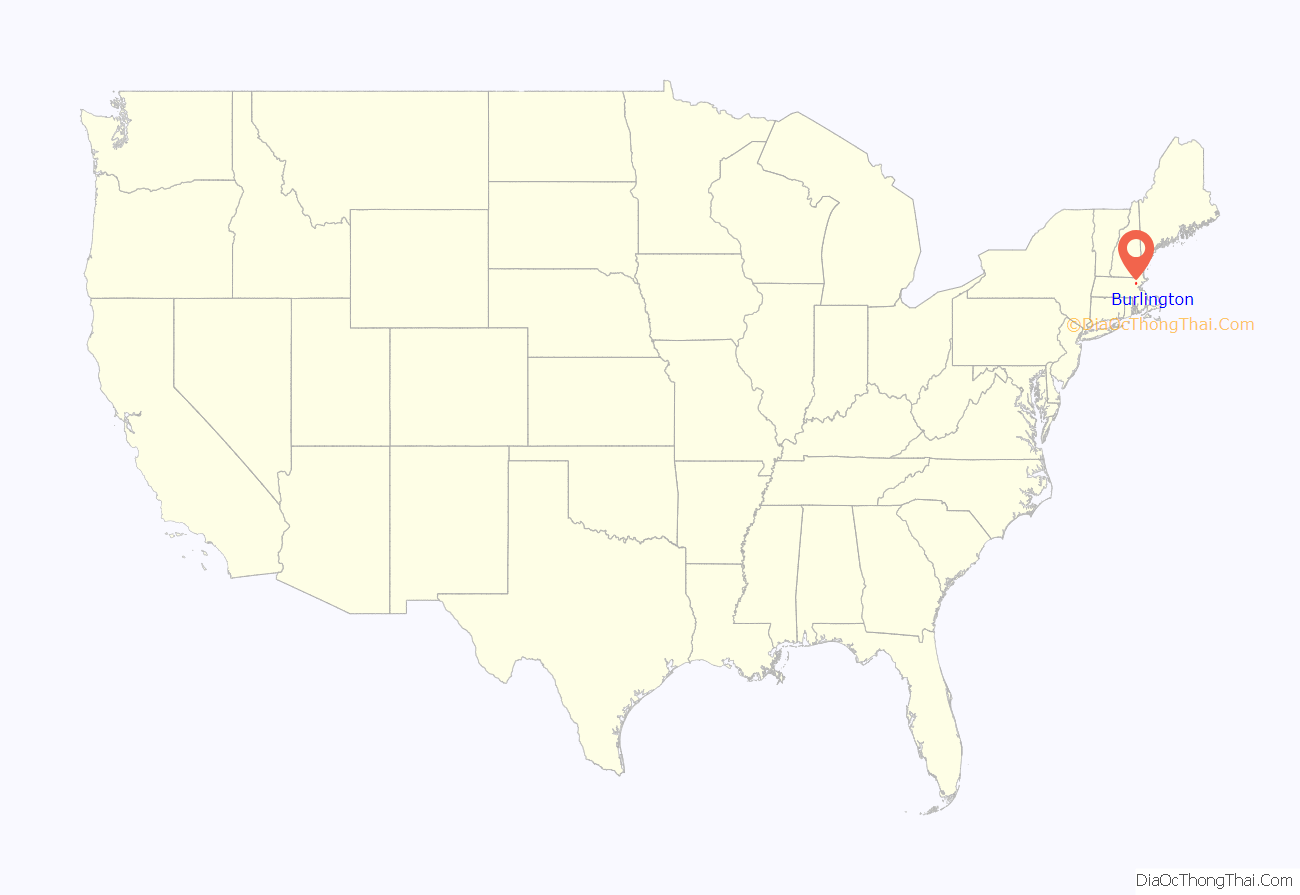
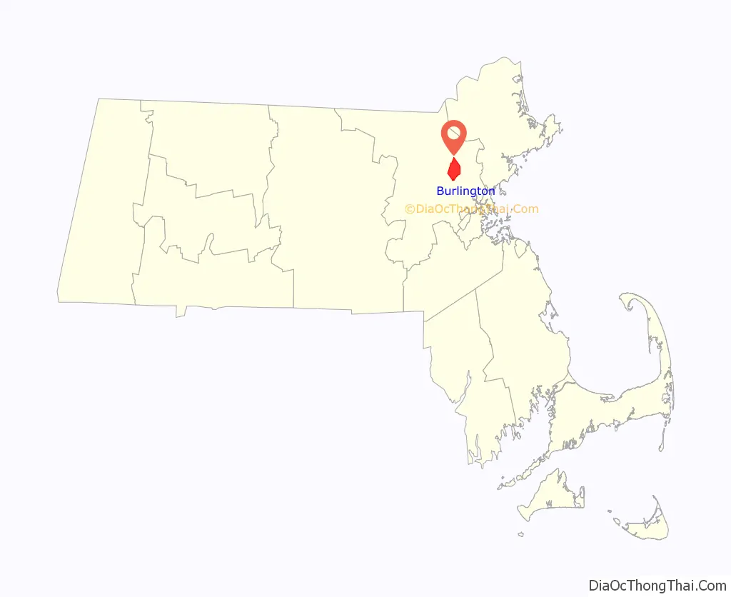
Burlington location map. Where is Burlington CDP?
History
It is believed that Burlington takes its name from the English town of Bridlington, Yorkshire, but this has never been confirmed. It was first settled in 1641, and was officially incorporated on February 28, 1799; several of the early homesteads are still standing, such as the Francis Wyman House, dating from 1666. The town is sited on the watersheds of the Ipswich, Mystic, and Shawsheen rivers. In colonial times up through the late 19th century, there was an industry in the mills along Vine Brook, which runs from Lexington to Bedford and then empties into the Shawsheen River.
Burlington is now a suburban industrial town at the junction of the Boston-Merrimack corridor, but for most of its history, it was almost entirely agricultural, selling hops and rye to Boston and supplementing that income with small shoe-making shops. Early railroad expansion passed the town by (although the town was serviced by the Middlesex Turnpike), limiting its early development, and Burlington continued to cure hams for the Boston market and produce milk, fruit, and vegetables.
This picture changed drastically, however, as soon as Route 128 was built. The highway kicked off an enormous expansion, and between 1955 and 1965 Burlington was the fastest growing town in the state. In one five-year period, its population tripled as residential and commercial retail development exploded creating the town’s present character. It is currently a residential and professional hub.
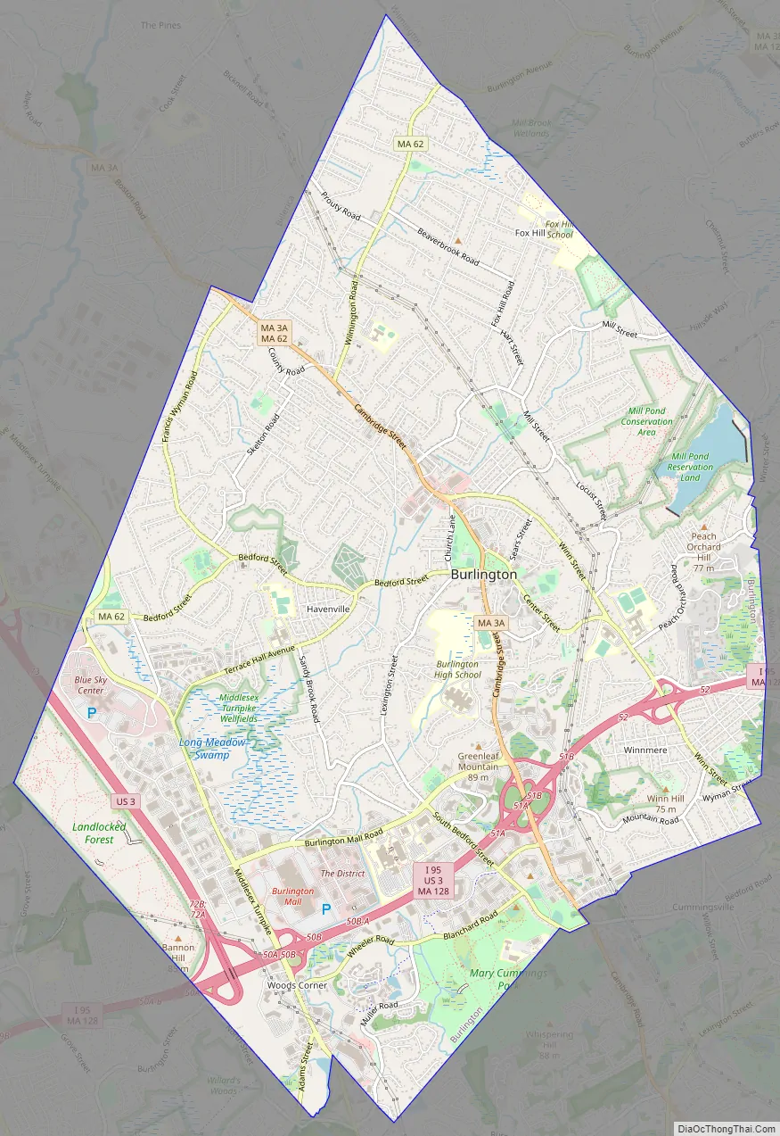
Burlington Road Map
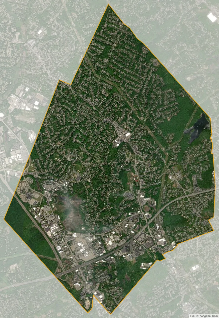
Burlington city Satellite Map
Geography
Located in the Greater Boston Area of eastern Massachusetts, Burlington is bordered by Bedford on the west, Billerica on the north, Wilmington on the northeast, Woburn on the southeast, and Lexington on the south. Burlington is 12 miles (19 km) south of Lowell, 12 miles (19 km) northwest of Boston, 36 miles (58 km) southeast of Fitchburg, and 224 miles (360 km) from New York City. Its highest point is Greenleaf Mountain (290 feet (88 m) above sea level), and its lowest point is the Great Meadow 150 feet (46 m) above sea level. The elevation at Town Hall is 220 feet (67 m) above sea level. The largest body of water is the 500-million-US-gallon (1,900,000 m) Mill Pond Reservoir in the eastern part of the town.
According to the United States Census Bureau, the town has a total area of 11.9 square miles (31 km), of which 11.8 square miles (31 km) is land and 0.1 square miles (0.26 km), or 0.59%, is water. There are different area codes in Burlington: 781, 617, and 339.
See also
Map of Massachusetts State and its subdivision: Map of other states:- Alabama
- Alaska
- Arizona
- Arkansas
- California
- Colorado
- Connecticut
- Delaware
- District of Columbia
- Florida
- Georgia
- Hawaii
- Idaho
- Illinois
- Indiana
- Iowa
- Kansas
- Kentucky
- Louisiana
- Maine
- Maryland
- Massachusetts
- Michigan
- Minnesota
- Mississippi
- Missouri
- Montana
- Nebraska
- Nevada
- New Hampshire
- New Jersey
- New Mexico
- New York
- North Carolina
- North Dakota
- Ohio
- Oklahoma
- Oregon
- Pennsylvania
- Rhode Island
- South Carolina
- South Dakota
- Tennessee
- Texas
- Utah
- Vermont
- Virginia
- Washington
- West Virginia
- Wisconsin
- Wyoming


