Belmont is a town in Middlesex County, Massachusetts, United States. It is a western suburb of Boston, Massachusetts, United States; and is part of the Greater Boston metropolitan area. At the 2020 U.S. census, its population was 27,295, up 10.4% from 2010.
| Name: | Belmont CDP |
|---|---|
| LSAD Code: | 57 |
| LSAD Description: | CDP (suffix) |
| State: | Massachusetts |
| County: | Middlesex County |
| Incorporated: | 1859 |
| Elevation: | 44 ft (13 m) |
| Total Area: | 4.7 sq mi (12.2 km²) |
| Land Area: | 4.7 sq mi (12.1 km²) |
| Water Area: | 0.1 sq mi (0.1 km²) |
| Total Population: | 27,295 |
| Population Density: | 5,800/sq mi (2,200/km²) |
| ZIP code: | 02478 |
| Area code: | 617 / 857 |
| FIPS code: | 2505105 |
| GNISfeature ID: | 0618216 |
Online Interactive Map
Click on ![]() to view map in "full screen" mode.
to view map in "full screen" mode.
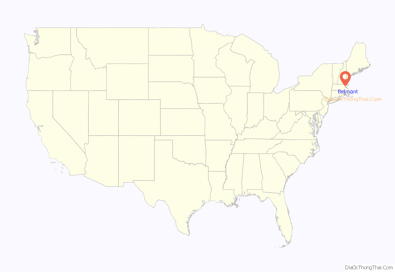
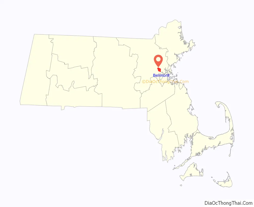
Belmont location map. Where is Belmont CDP?
History
Belmont was established on March 18, 1859, by former citizens of, and on land from the bordering towns of, Watertown, to the south; Waltham, to the west; and Arlington, then known as West Cambridge, to the north. They also wanted a town where no one could buy or sell alcohol (alcohol is now legal to purchase in Belmont). The town was named after Bellmont, the 200-acre (0.8 km) estate of the largest donor to its creation, John Perkins Cushing. Cushing Square is named after him and what was left of his estate after it nearly burned to the ground and became a Belmont Public Library branch. The easternmost section of the town, including the western portion of Fresh Pond, was annexed by Cambridge in 1880 in a dispute over a slaughterhouse licensed in 1878 on Fresh Pond, so that Cambridge could protect Fresh Pond, part of its municipal water system.
Before its incorporation, Belmont was an agrarian town, with several large farms servicing Boston for produce and livestock. It remained largely agrarian until the turn of the 20th century, when trolley service and better roads were introduced, making it more attractive as a residential area, most notably for the building of large estates. Belmont’s population grew by over 70 percent during the 1920s.
The economics of the town shifted from purely agrarian to a commercial greenhouse base; much of Boston’s flower and vegetable needs were met by the Belmont “hothouses”, which persisted until about 1983, when Edgar’s, the last large greenhouse firm in the area, closed.
Other commercial enterprises in Belmont included mining clay and waste management. The reclamation of a large dump and quarry off Concord Avenue into sites for the Belmont High School and the Clay Pit Pond is a lasting example of environmental planning. With the introduction of automobiles and highways, Belmont continued its transition to a commuter-based suburb throughout the 20th century.
The John Birch Society was headquartered in Belmont from its founding in 1958 until its relocation to Appleton, Wisconsin, in 1989. The building at 395 Concord Avenue later became the headquarters of the National Association for Armenian Studies and Research (NAASR), which is expanding and renovating its facility as of 2019.
Railroad history
Belmont was once served by two railroads, the Fitchburg Railroad and the Central Massachusetts Railroad, both of which later became part of the Boston & Maine Railroad system. Originally the two railroads each had their own separate trackage through town, but in 1952 the Central Mass tracks were removed between Hill’s Crossing and Clematis Brook (Waltham), and rail traffic was rerouted over the Fitchburg line.
Today the MBTA owns the trackage through Belmont, known as the Fitchburg Line. Passenger service on this line terminates at Fitchburg, but it once was the area’s main route into New York state. As of 2011, the MBTA was planning to extend future service to West Fitchburg.
The station stops at Belmont Center and Waverley were once grade crossings, so that pedestrian and vehicular traffic had to cross directly over rails in public roads. In 1907, the grade at Belmont Center was eliminated by constructing a stone arch bridge and elevated embankment to carry the tracks past a new station building. At Waverley, the grade was lowered so that the tracks ran under Trapelo Road, though the platform did not have an enclosed structure there.
A second historic railroad station building exists in Belmont, though it is not obvious. The one-room Wellington Hill Station was built in the 1840s as a private school, not far from its current location in Belmont Center. It was then used by the Fitchburg Railroad from 1852 to 1879. When the railroad decided to replace the station with a larger structure, the building was moved to the Underwood Estate and used as a summer house. In 1974, the station was donated to the Belmont Historical Society. It was restored and moved to its current location in 1980.
Present day
Belmont remains a primarily residential suburb, with little population growth since the 1950s. It is best known for the mansion-filled Belmont Hill neighborhood, although most residents live in more densely settled, low-lying areas around the Hill. There are three major commercial centers in the town: Belmont Center in the center, Cushing Square in the south, and Waverley Square in the west. Town Hall and other civic buildings are in Belmont Center. Large tracts of land from former farms and greenhouse estates form public or publicly accessible areas such as Rock Meadow, Habitat, portions of the McLean Hospital tract and various town fields.
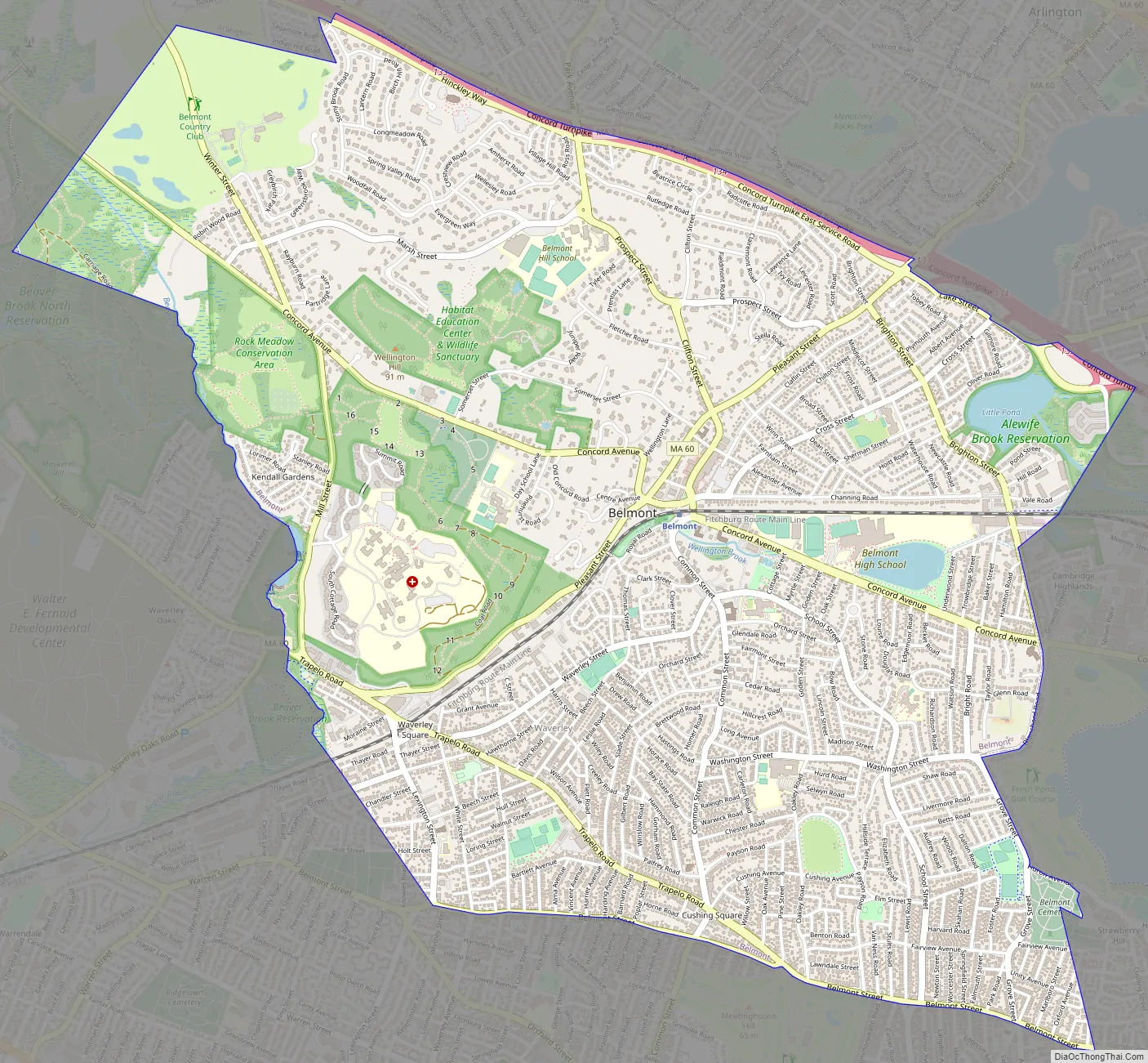
Belmont Road Map
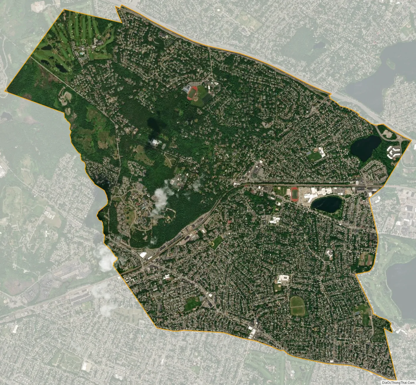
Belmont city Satellite Map
Geography
According to the United States Census Bureau, the town has an area of 4.7 square miles (12.2 km), of which 4.7 square miles (12.1 km) is land and less than 0.1 square miles (0.1 km), or 1.06%, is water.
Belmont is bordered by Cambridge on the east, Arlington on the north, Lexington on the northwest, Waltham on the west, and Watertown on the south.
Environmental concerns
In 2002, Middlesex County was ranked in the worst 10% of polluted counties in the United States in terms of air and water pollution. Two companies that ranked in the top 10 for polluters in the county were Polaroid Corporation in Waltham and the Cambridge Plating Company in Belmont, which is several hundred feet from Belmont High School. The Environmental Protection Agency fined Cambridge Plating Company, now operated by Purecoat North LLC, in 2002 following various violations and in 2004 after a fire that led to an accumulation of toxic wastewater.
The chemicals released were trichloroethylene and dichloromethane, both of which have been shown to cause cancer. These chemicals are released into the air so it is difficult to trace them and to determine the source, as there are also several other industries in the area that release the same pollutants.
See also
Map of Massachusetts State and its subdivision: Map of other states:- Alabama
- Alaska
- Arizona
- Arkansas
- California
- Colorado
- Connecticut
- Delaware
- District of Columbia
- Florida
- Georgia
- Hawaii
- Idaho
- Illinois
- Indiana
- Iowa
- Kansas
- Kentucky
- Louisiana
- Maine
- Maryland
- Massachusetts
- Michigan
- Minnesota
- Mississippi
- Missouri
- Montana
- Nebraska
- Nevada
- New Hampshire
- New Jersey
- New Mexico
- New York
- North Carolina
- North Dakota
- Ohio
- Oklahoma
- Oregon
- Pennsylvania
- Rhode Island
- South Carolina
- South Dakota
- Tennessee
- Texas
- Utah
- Vermont
- Virginia
- Washington
- West Virginia
- Wisconsin
- Wyoming


