Port Republic is a city on the Mullica River, located in Atlantic County, in the U.S. state of New Jersey. As of the 2020 United States census, the city’s population was 1,101, a decrease of 14 (−1.3%) from the 2010 census count of 1,115, which in turn reflected an increase of 78 (+7.5%) from the 1,037 counted in the 2000 census.
It is a dry town, where alcohol is not permitted to be sold by law.
Geographically, the city, and all of Atlantic County, is part of the South Jersey region of the state and of the Atlantic City–Hammonton metropolitan statistical area, which in turn is included in the Philadelphia–Reading–Camden combined statistical area and the Delaware Valley.
| Name: | Port Republic city |
|---|---|
| LSAD Code: | 25 |
| LSAD Description: | city (suffix) |
| State: | New Jersey |
| County: | Atlantic County |
| Incorporated: | March 1, 1905 |
| Elevation: | 7 ft (2 m) |
| Total Area: | 8.55 sq mi (22.14 km²) |
| Land Area: | 7.46 sq mi (19.33 km²) |
| Water Area: | 1.09 sq mi (2.81 km²) 12.70% |
| Total Population: | 1,101 |
| Population Density: | 147.5/sq mi (57.0/km²) |
| ZIP code: | 08241 |
| Area code: | 609 exchanges: 404, 652, 748 |
| FIPS code: | 3460600 |
| GNISfeature ID: | 0885360 |
| Website: | www.portrepublicnj.org |
Online Interactive Map
Click on ![]() to view map in "full screen" mode.
to view map in "full screen" mode.
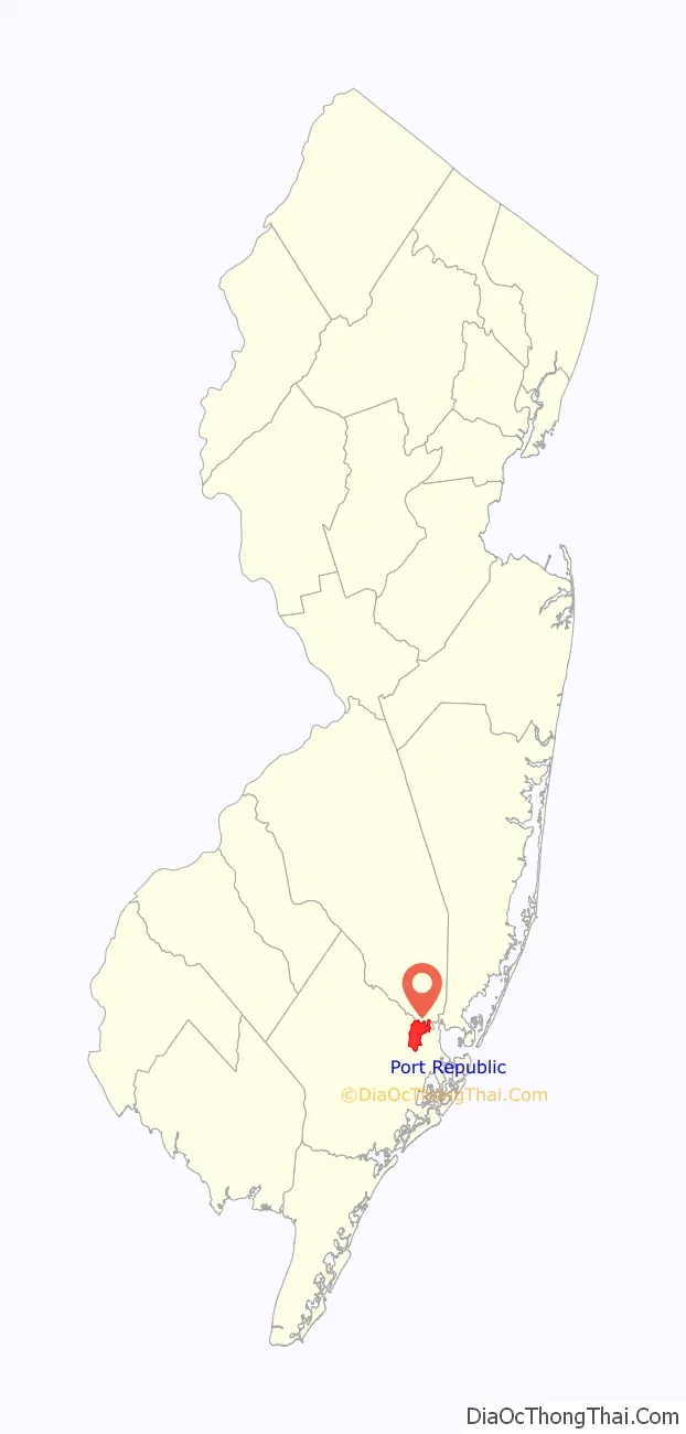
Port Republic location map. Where is Port Republic city?

History
In 1774, Evi Smith, Hugh McCullum, and Richard Wescoat applied for a Royal charter to build a dam, sawmill, and gristmill on their land along Nacote Creek. While it has been claimed that Chestnut Neck was settled as early as 1637, no evidence to support this claim has been presented.
In its early days, Port Republic was known as Wrangleboro. During the American Revolutionary War, Port Republic provided refuge to the residents of the nearby community of Chestnut Neck when the British Army, arriving by ship, sacked their town on October 6, 1778. It had been used as a base by privateers who were capturing goods intended for British forces. Among the refugees was Daniel Mathis, a tavernkeeper who built the Franklin Inn in Port Republic, which is used as a private house today. Some of the British ships were trapped in the creek by the ebb tides. The General Lafayette Chapter of the Daughters of the American Revolution erected a monument on October 6, 1911, to mark the site of the Battle of Chestnut Neck. A Continental Army soldier at the top of the 50-foot (15 m) monument faces the river, “guarding the shore” against the approaching enemy.
In 1842, an effort was made to rename the area from Wrangleborough to Unionville, with a post office to be established under that name. As another Unionville existed in the state, the name “Port Republic” was chosen.
Port Republic was incorporated as a city by an act of the New Jersey Legislature on March 1, 1905, from portions of Galloway Township. The city’s name derives from the “U.S. Republic”.
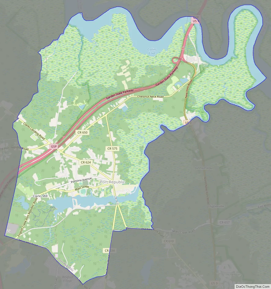
Port Republic Road Map
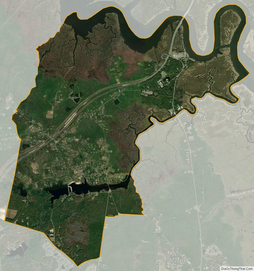
Port Republic city Satellite Map
Geography
According to the United States Census Bureau, Port Republic city had a total area of 8.55 square miles (22.14 km), including 7.46 square miles (19.33 km) of land and 1.09 square miles (2.81 km) of water (12.70%).
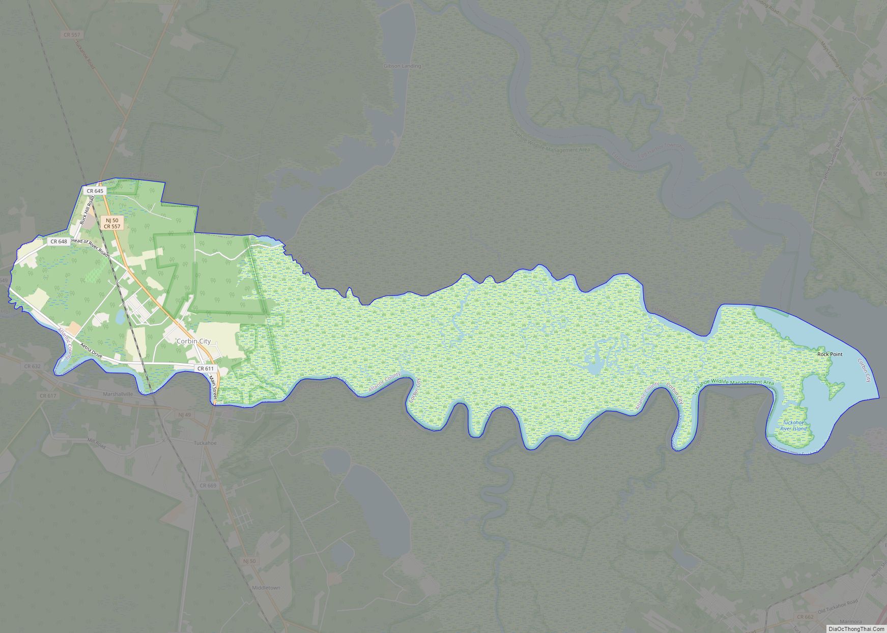
Unincorporated communities, localities and place names located partially or completely within the township include Chestnut Neck and Unionville.
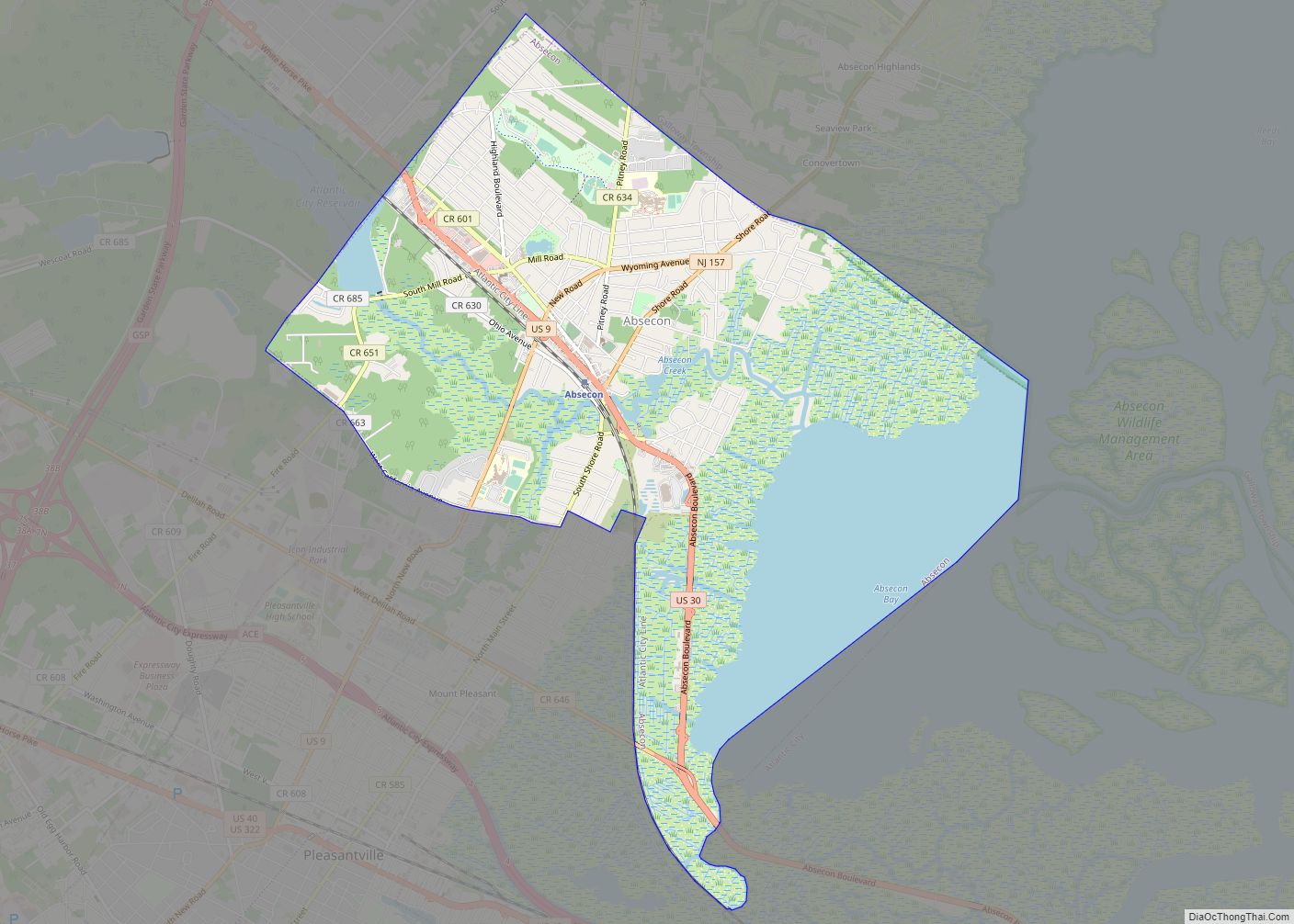
The city borders the township of Galloway in Atlantic County, and both Bass River and Washington townships in Burlington County.
The city is one of 56 South Jersey municipalities that are included within the New Jersey Pinelands National Reserve, a protected natural area of unique ecology covering 1,100,000 acres (450,000 ha), that has been classified as a United States Biosphere Reserve and established by Congress in 1978 as the nation’s first National Reserve. Part of the city is included in the state-designated Pinelands Area, which includes portions of Atlantic County, along with areas in Burlington, Camden, Cape May, Cumberland, Gloucester and Ocean counties.
See also
Map of New Jersey State and its subdivision: Map of other states:- Alabama
- Alaska
- Arizona
- Arkansas
- California
- Colorado
- Connecticut
- Delaware
- District of Columbia
- Florida
- Georgia
- Hawaii
- Idaho
- Illinois
- Indiana
- Iowa
- Kansas
- Kentucky
- Louisiana
- Maine
- Maryland
- Massachusetts
- Michigan
- Minnesota
- Mississippi
- Missouri
- Montana
- Nebraska
- Nevada
- New Hampshire
- New Jersey
- New Mexico
- New York
- North Carolina
- North Dakota
- Ohio
- Oklahoma
- Oregon
- Pennsylvania
- Rhode Island
- South Carolina
- South Dakota
- Tennessee
- Texas
- Utah
- Vermont
- Virginia
- Washington
- West Virginia
- Wisconsin
- Wyoming