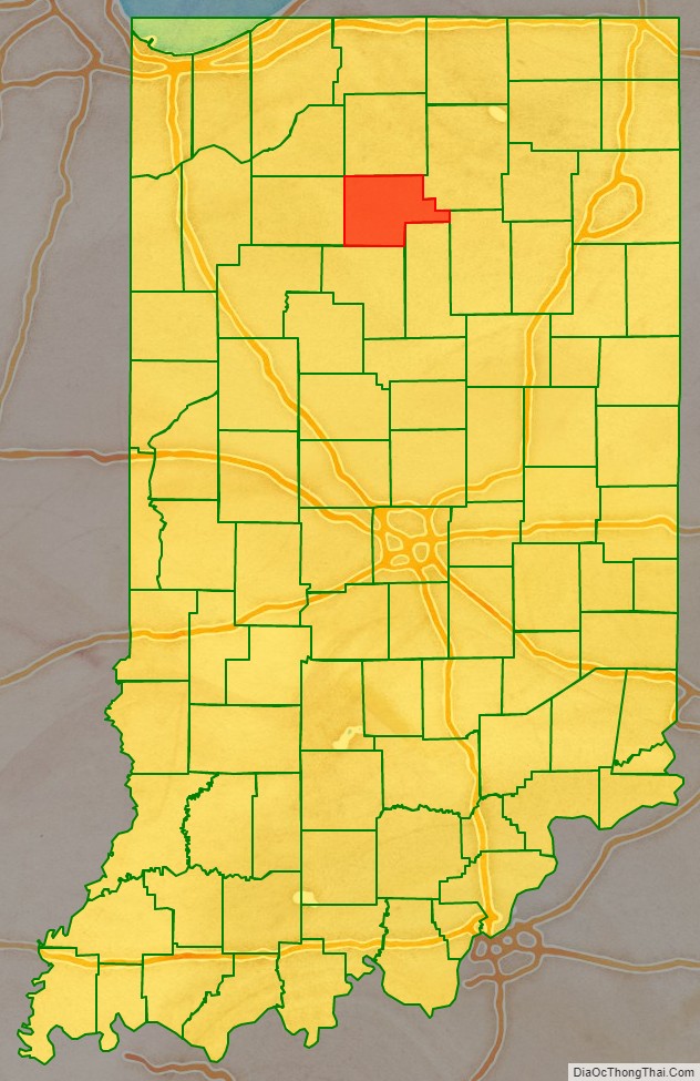
Fulton County is a county located in the U.S. state of Indiana. As of 2010, the population was 20,836. The county seat is Rochester.
| Name: | Fulton County |
|---|---|
| FIPS code: | 18-049 |
| State: | Indiana |
| Founded: | 1836 |
| Named for: | Robert Fulton |
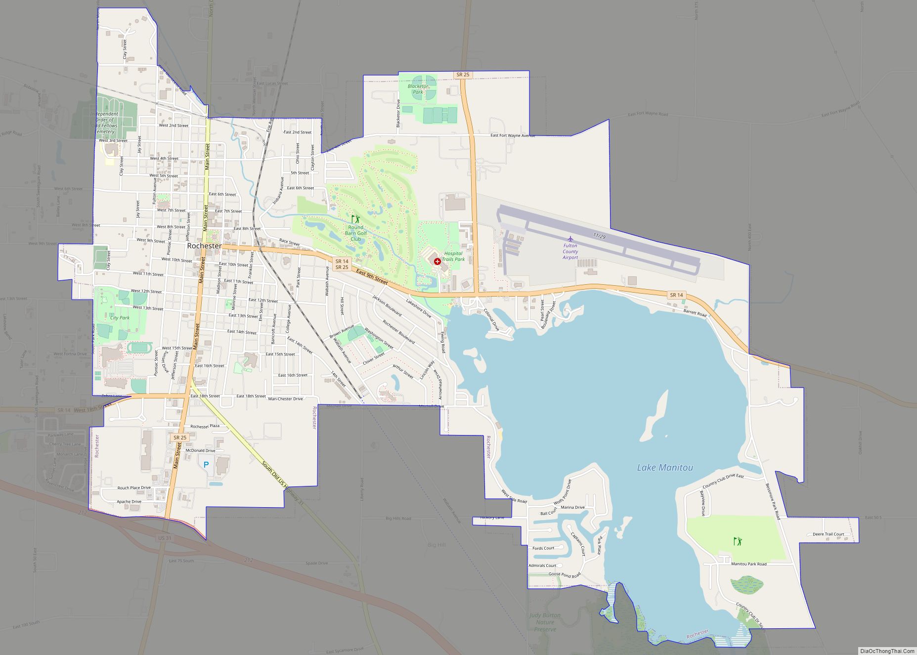
| Seat: | Rochester |
| Largest city: | Rochester |
| Total Area: | 371.26 sq mi (961.6 km²) |
| Land Area: | 368.39 sq mi (954.1 km²) |
| Population Density: | 56/sq mi (21/km²) |
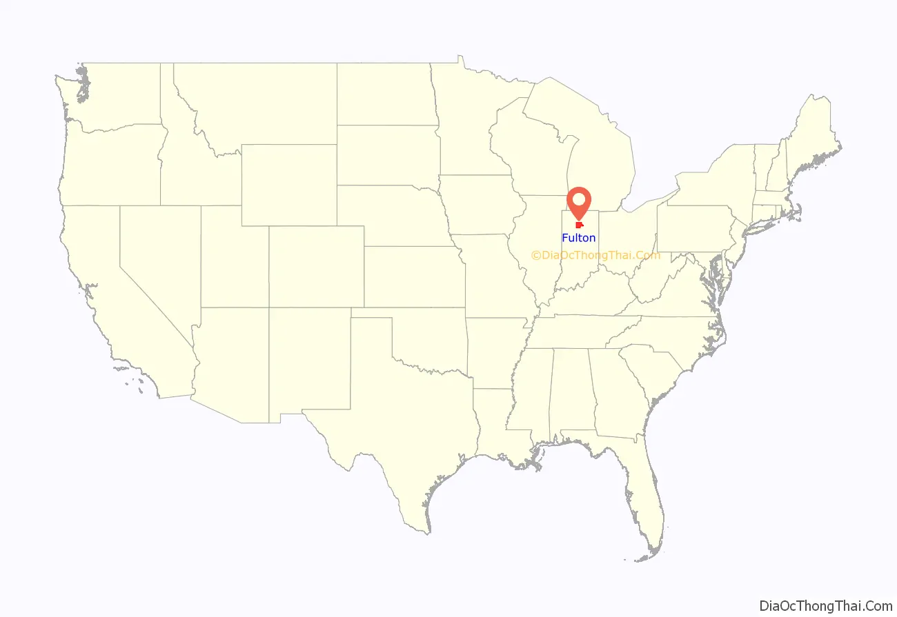
Fulton County location map. Where is Fulton County?
History
The first non-Native Americans to ever set foot in what is now Fulton County, Indiana ,were French traders. Few of them remained permanently as year-round residents of the area and by the 1830s there was no French population in what is now Fulton County.
In the 1820s and 1830s, migrants from New England began moving to what is now Indiana in large numbers (though there was a trickle of New England settlers who arrived before this date). These were “Yankee” settlers, that is to say they were descended from the English Puritans who settled New England during the colonial era. While most of them came to Indiana directly from New England, there were many who came from upstate New York. These were people whose parents had moved from New England to upstate New York in the immediate aftermath of the American Revolution. Due to the prevalence of New Englanders and New England transplants from upstate New York, the northern third of Indiana was very culturally contiguous with early New England culture for much of its early history.
The Yankee migration to Indiana was a result of several factors, one of which was the overpopulation of New England. The old stock Yankee population had large families, often bearing up to ten children in one household. Most people were expected to have their own piece of land to farm, and due to the massive and nonstop population boom, land in New England became scarce as every son claimed his own farmstead. As a result, there was not enough land for every family to have a self-sustaining farm, and Yankee settlers began leaving New England for the Midwestern United States.
They were aided in this effort by the construction and completion of the Erie Canal which made traveling to the region much easier, causing an additional surge in migrants coming from New England. Added to this was the end of the Black Hawk War, which made the region much safer to travel through and settle in for White settlers.
In the case of Fulton County, there were no attempts by United States settlers to permanently settle the area until the conclusion of the Blackhawk War. Fulton County’s first permanent non-Native American settlers arrived in September and October 1832, most of whom came from New England though some of whom were New England transplants from upstate New York. Most of Fulton County’s New England settlers came from Franklin County, Massachusetts, Grafton County, New Hampshire and Orange County, Vermont, as well as several farming families from Maine and the rural northern region of Connecticut. At first, virtually all of these settlers were farmers.
These settlers were primarily members of the Congregational Church, though due to the Second Great Awakening, many of them had converted to Methodism, and some had become Baptists before coming to what is now Cook County. The Congregational Church has subsequently gone through many divisions, and some factions, including those in Cook County, are now known as the Church of Christ and the United Church of Christ.
When the New Englanders arrived, there was nothing but dense virgin forest and wild prairie. They laid out farms, constructed roads, erected government buildings and established post routes. By the spring of 1833 the settlement was a successful and thriving farming community. Rochester was laid out in 1835. The founder Alexander Chamberlain named it for his former hometown of Rochester, New York. The Rochester post office was established in 1836.
Fulton County was formed in 1836. It was named for Robert Fulton, inventor of the steamboat. Native Americans in the county believed that a terrible monster lived in Lake Manitou and for that reason they never lived around the lake. Early settlers called it the Devil’s Lake and there were many reported sightings of a monster.
The Potawatomi Trail of Death came through the town in 1838.
The 178-acre Moore Farm, then located two miles south of Rochester, was purchased in 1871 for use as the Fulton County Poor Farm. The County Home was closed on 31 December 1965 and the entire property was sold on 17 December 1966 by the county commissioners to State Senator Robert E. Peterson of Rochester.
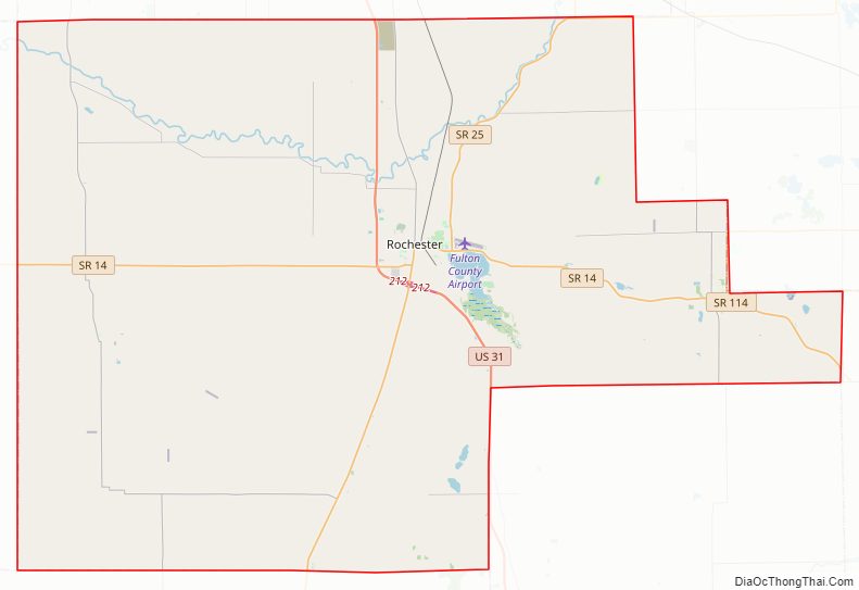
Fulton County Road Map
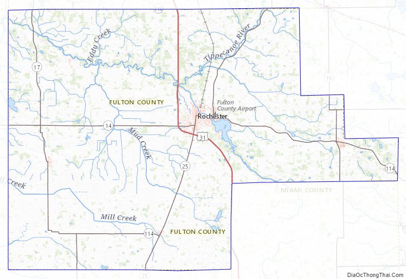
Geography
According to the 2010 census, the county has a total area of 371.26 square miles (961.6 km), of which 368.39 square miles (954.1 km) (or 99.23%) is land and 2.88 square miles (7.5 km) (or 0.78%) is water.
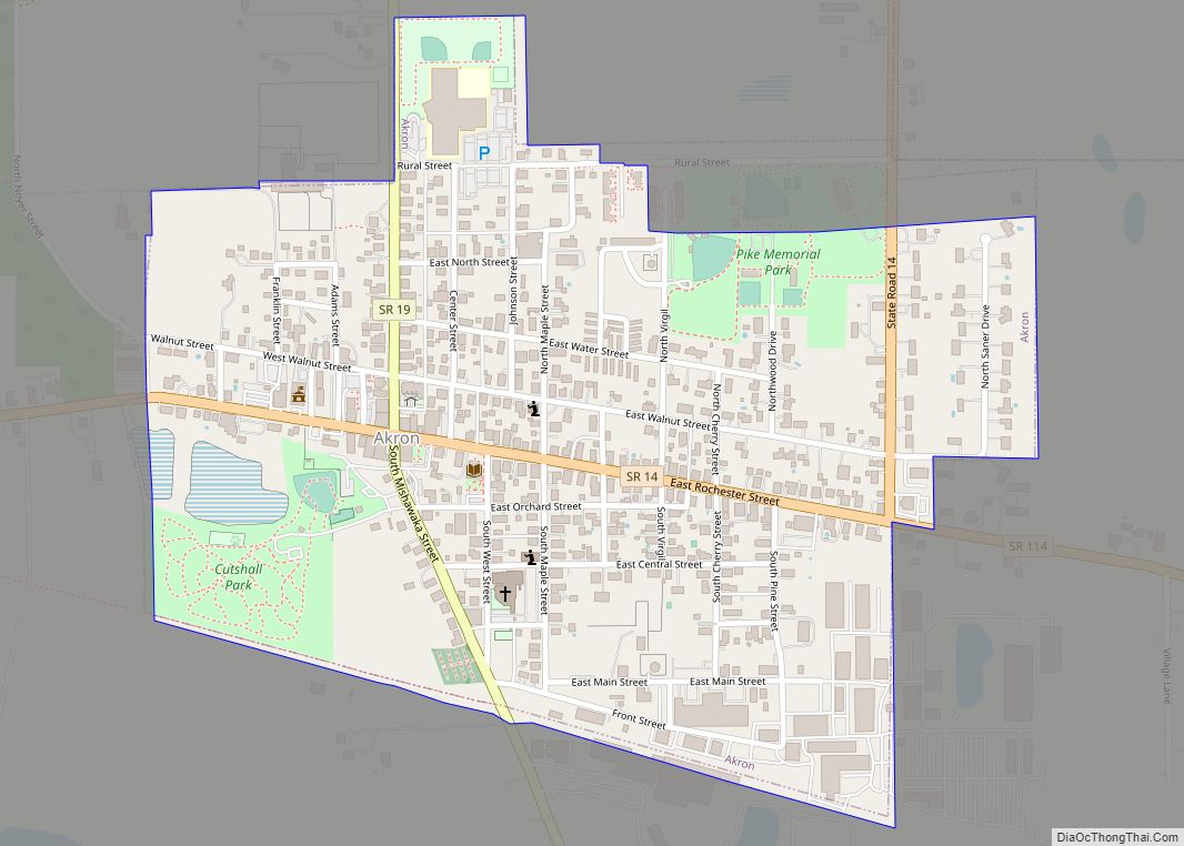
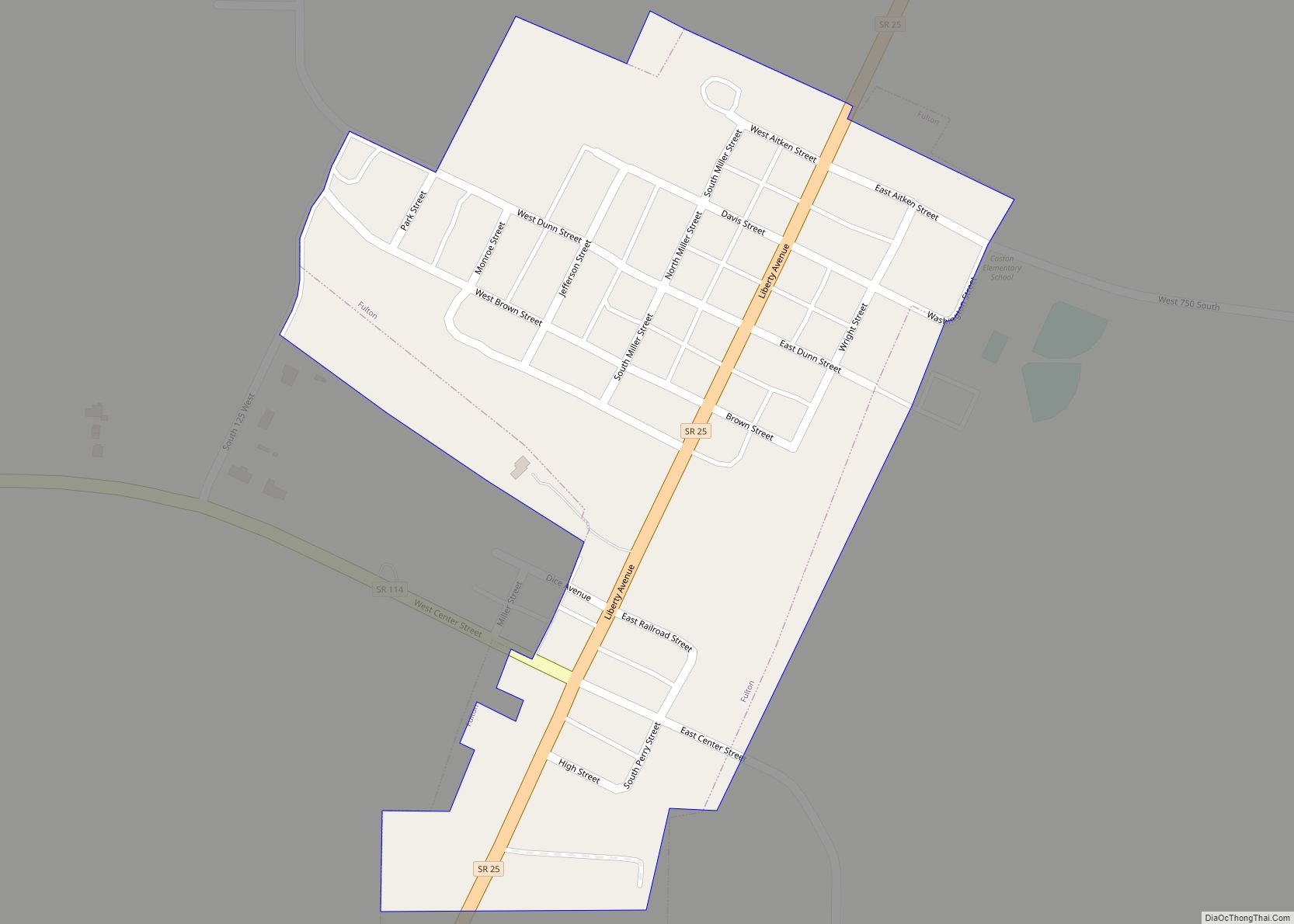
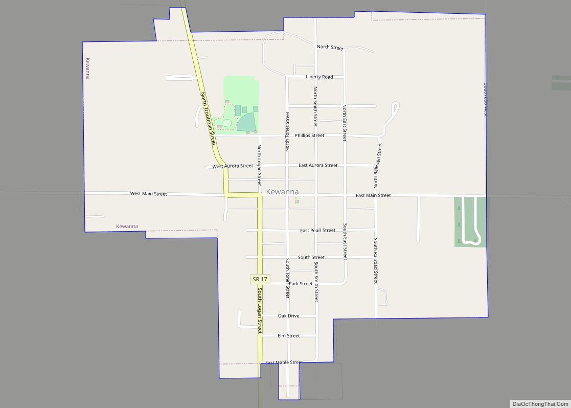
Cities and towns
Townships
- Aubbeenaubbee
- Henry
- Liberty
- Newcastle
- Richland
- Rochester
- Union
- Wayne
Major highways
- U.S. Route 31
- State Road 14
- State Road 17
- State Road 19
- State Road 25
- State Road 114
Railroads
- Fulton County Railroad
Adjacent counties
- Marshall County (north)
- Kosciusko County (northeast)
- Wabash County (east)
- Miami County (southeast)
- Cass County (south)
- Pulaski County (west)
- Starke County (northwest)
Fulton County Topographic Map
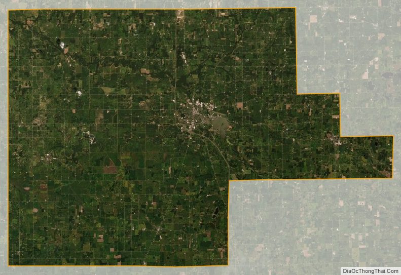
Fulton County Satellite Map
Fulton County Outline Map