Rochester is a city in, and the county seat of, Fulton County, Indiana, United States. The population was 6,218 at the 2010 census.
| Name: | Rochester city |
|---|---|
| LSAD Code: | 25 |
| LSAD Description: | city (suffix) |
| State: | Indiana |
| County: | Fulton County |
| Elevation: | 781 ft (238 m) |
| Total Area: | 5.68 sq mi (14.71 km²) |
| Land Area: | 4.57 sq mi (11.84 km²) |
| Water Area: | 1.11 sq mi (2.87 km²) 19.14% |
| Total Population: | 6,218 |
| Population Density: | 1,311.02/sq mi (506.19/km²) |
| ZIP code: | 46975 |
| Area code: | 574 |
| FIPS code: | 1865214 |
| GNISfeature ID: | 0442186 |
| Website: | http://www.rochester.in.us/ |
Online Interactive Map
Click on ![]() to view map in "full screen" mode.
to view map in "full screen" mode.
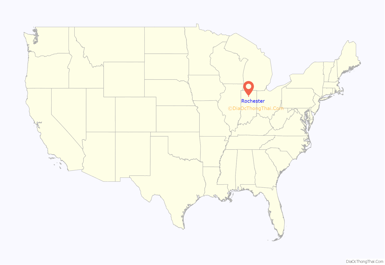
Rochester location map. Where is Rochester city?
History
Rochester was laid out in 1835. The founder Alexander Chamberlain named it for his former hometown of Rochester, New York. The Rochester post office was established in 1836.
The Potawatomi Trail of Death came through the town in 1838.
Rochester was incorporated as a city in 1853.
The Lyman M. Brackett House, Fulton County Courthouse, Rochester Downtown Historic District, and John W. Smith House are listed on the National Register of Historic Places. The formerly listed Germany Bridge was located nearby. The Wideman-Gerig Round Barn is in use at the Round Barn Golf Club in Rochester.
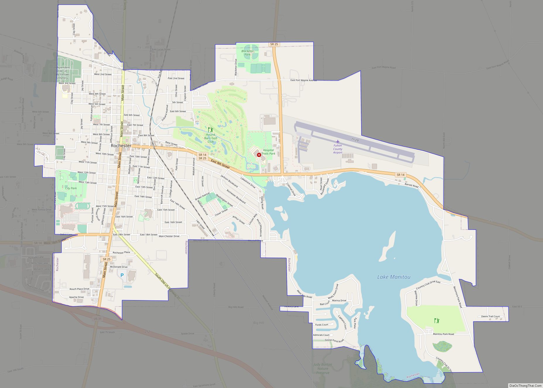
Rochester Road Map
Rochester city Satellite Map
Geography
According to the 2010 census, Rochester has a total area of 5.801 square miles (15.02 km), of which 4.69 square miles (12.15 km) (or 80.85%) is land and 1.111 square miles (2.88 km) (or 19.15%) is water.
See also
Map of Indiana State and its subdivision:- Adams
- Allen
- Bartholomew
- Benton
- Blackford
- Boone
- Brown
- Carroll
- Cass
- Clark
- Clay
- Clinton
- Crawford
- Daviess
- De Kalb
- Dearborn
- Decatur
- Delaware
- Dubois
- Elkhart
- Fayette
- Floyd
- Fountain
- Franklin
- Fulton
- Gibson
- Grant
- Greene
- Hamilton
- Hancock
- Harrison
- Hendricks
- Henry
- Howard
- Huntington
- Jackson
- Jasper
- Jay
- Jefferson
- Jennings
- Johnson
- Knox
- Kosciusko
- LaGrange
- Lake
- Lake Michigan
- LaPorte
- Lawrence
- Madison
- Marion
- Marshall
- Martin
- Miami
- Monroe
- Montgomery
- Morgan
- Newton
- Noble
- Ohio
- Orange
- Owen
- Parke
- Perry
- Pike
- Porter
- Posey
- Pulaski
- Putnam
- Randolph
- Ripley
- Rush
- Saint Joseph
- Scott
- Shelby
- Spencer
- Starke
- Steuben
- Sullivan
- Switzerland
- Tippecanoe
- Tipton
- Union
- Vanderburgh
- Vermillion
- Vigo
- Wabash
- Warren
- Warrick
- Washington
- Wayne
- Wells
- White
- Whitley
- Alabama
- Alaska
- Arizona
- Arkansas
- California
- Colorado
- Connecticut
- Delaware
- District of Columbia
- Florida
- Georgia
- Hawaii
- Idaho
- Illinois
- Indiana
- Iowa
- Kansas
- Kentucky
- Louisiana
- Maine
- Maryland
- Massachusetts
- Michigan
- Minnesota
- Mississippi
- Missouri
- Montana
- Nebraska
- Nevada
- New Hampshire
- New Jersey
- New Mexico
- New York
- North Carolina
- North Dakota
- Ohio
- Oklahoma
- Oregon
- Pennsylvania
- Rhode Island
- South Carolina
- South Dakota
- Tennessee
- Texas
- Utah
- Vermont
- Virginia
- Washington
- West Virginia
- Wisconsin
- Wyoming


