Maricopa County is in the south-central part of the U.S. state of Arizona. As of the 2020 census the population was 4,420,568, or about 62% of the state’s total, making it the fourth-most populous county in the United States, the most populous county in Arizona, and making Arizona one of the nation’s most centralized states. The county seat is Phoenix, the state capital and fifth-most populous city in the United States.
Maricopa County is the central county of the Phoenix–Mesa–Chandler, AZ, Metropolitan Statistical Area. The Office of Management and Budget renamed the metropolitan area in September 2018. Previously, it was the Phoenix-Mesa-Glendale metropolitan area, and in 2000, that was changed to Phoenix-Mesa-Scottsdale.
Maricopa County was named after the Maricopa Native Americans. Five Native American Reservations are located in the county. The largest are the Salt River Pima-Maricopa Indian Community (east of Scottsdale) and the Gila River Indian Community (south of Chandler).
| Name: | Maricopa County |
|---|---|
| FIPS code: | 04-013 |
| State: | Arizona |
| Founded: | February 14, 1871 |
| Named for: | Maricopa people |
| Seat: | Phoenix |
| Largest city: | Phoenix |
| Total Area: | 9,224 sq mi (23,890 km²) |
| Land Area: | 9,200 sq mi (24,000 km²) |
| Total Population: | 4,420,568 |
| Population Density: | 480/sq mi (190/km²) |
| Time zone: | UTC−7 (Mountain) |
| Website: | www.maricopa.gov |
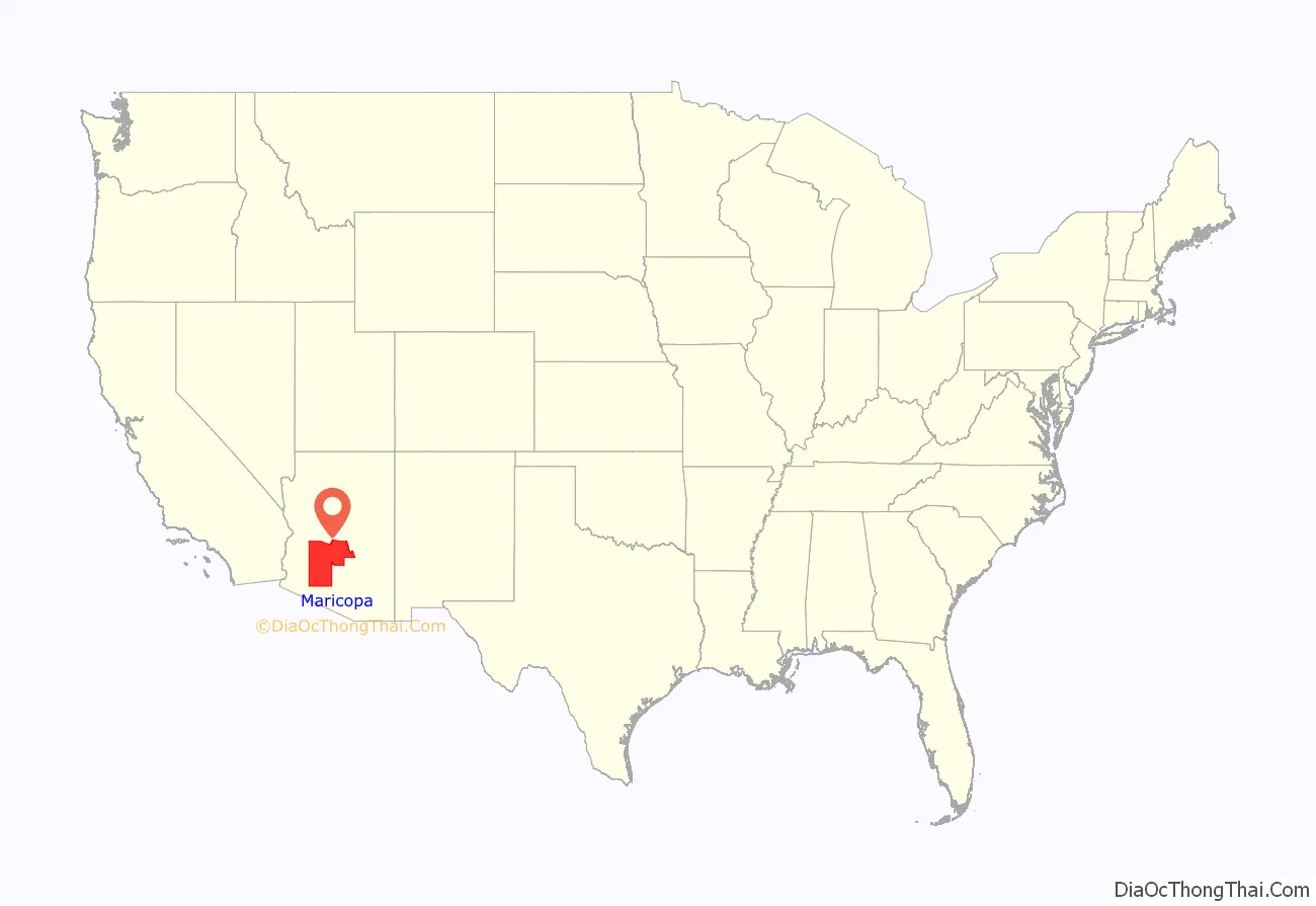
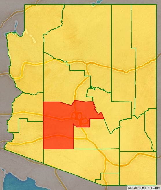
Maricopa County location map. Where is Maricopa County?
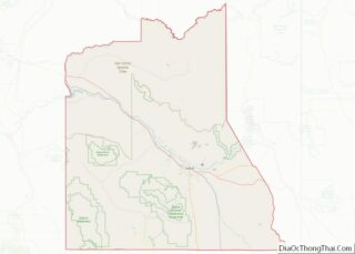
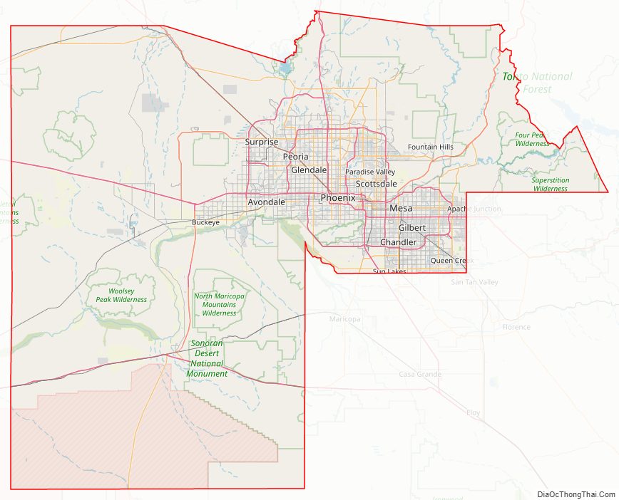
Maricopa County Road Map
Geography
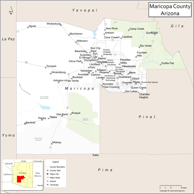
According to the United States Census Bureau, the county has a total area of 9,224 sq mi (23,890 km), of which 24 sq mi (62 km) (0.3%) is covered by water. Maricopa County is one of the largest counties in the United States by area, with a land area greater than that of four other US states. From west to east, it stretches 132 miles (212 km), and 103 miles (166 km) from north to south. It is by far Arizona’s most populous county, encompassing well over half of the state’s residents. It is the largest county in the United States to have a capital city.
Adjacent counties
- La Paz County – west
- Yuma County – west
- Pima County – south
- Pinal County – southeast and south
- Gila County – east
- Yavapai County – north
National protected areas
- Sonoran Desert National Monument (part)
- Tonto National Forest (part)
Regional parks
Maricopa county has 14 regional parks, namely Adobe Mountain Desert Park, Chaparral Lake, Estrella Mountain Regional Park, Hassayampa River Preserve , Indian Mesa, Lake Pleasant Regional Park, Litchfield Park, Arizona , Manistee Ranch, McCormick-Stillman Railroad Park, Papago Park, Phoenix Mountains Preserve , Sahuaro Ranch, San Tan Mountain Regional Park, White Tank Mountain Regional Park.
It also has at least 21 protected areas: Big Horn Mountains Wilderness Daisy Mountain Preserve Deer Valley Petroglyph Preserve Eagletail Mountains Wilderness Harquahala Mountains Hells Canyon Wilderness (Arizona) Hummingbird Springs Wilderness Mesa Grande Mummy Mountain (Arizona) National Memorial Cemetery of Arizona Painted Rock Petroglyph Site Sierra Estrella Signal Mountain Wilderness Sonoran Desert National Monument St. Francis Catholic Cemetery Superstition Mountains Table Top Mountain (Arizona) Tonto National Forest Wabayuma Peak White Tank Mountain Regional Park Woolsey Peak
Flora and fauna
From 2009 to 2011, an inventory of all vascular plants growing along the Salt River (Arizona), Gila River, New River and Agua Fria River and their tributaries in the Phoenix metropolitan area was done. In October 2022, Maricopa County Environmental Services Department detected Dengue virus in mosquitoes they had trapped; in November the first locally transmitted case of dengue fever was reported in the County and Arizona state as a whole – previous dengue cases in Maricopa County had been related to travel.
Maricopa County Topographic Map
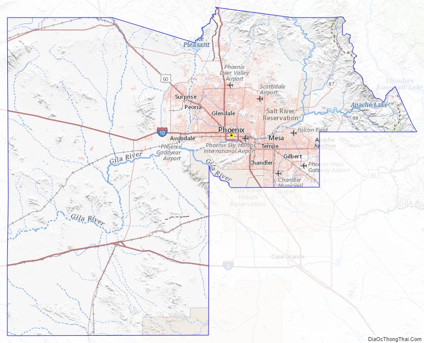
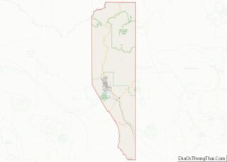
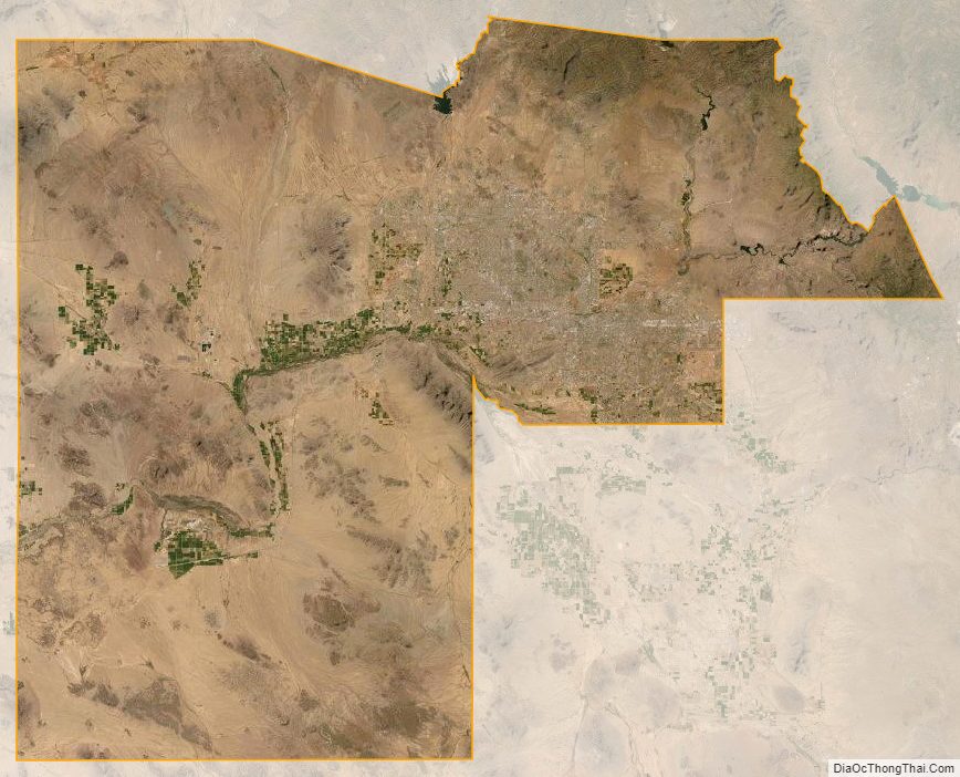
Maricopa County Satellite Map
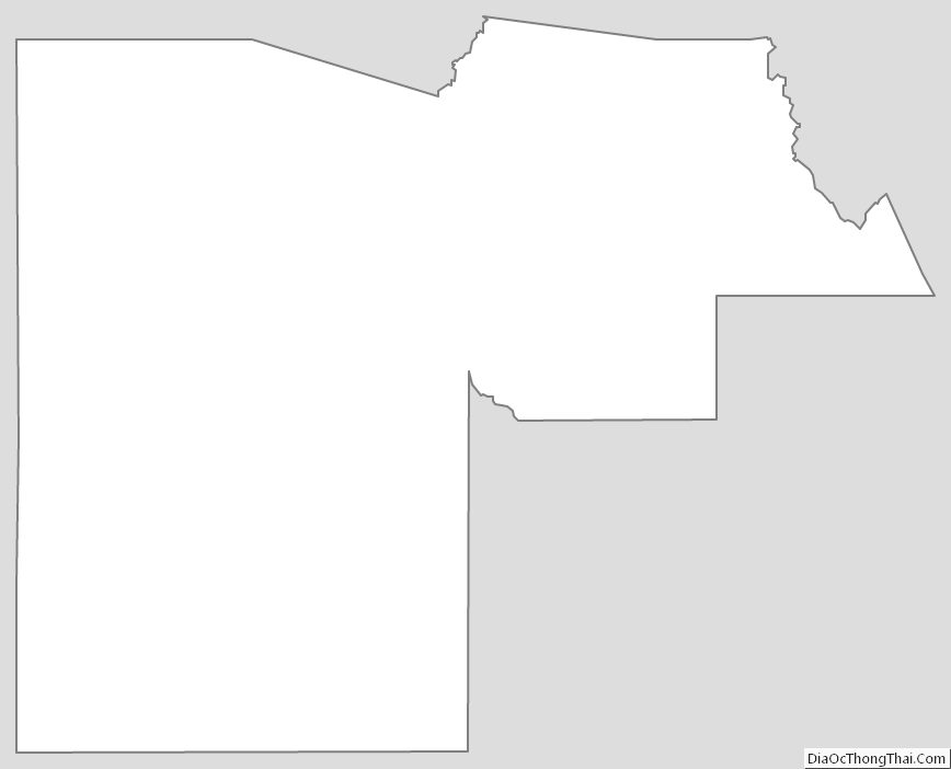
Maricopa County Outline Map