Tatitlek /təˈtɪtlɪk/ (Alutiiq: Taatiilaaq; Russian: Татитлек) is a census-designated place (CDP) in Chugach Census Area, United States. The population was 88 at the 2010 census, down from 107 in 2000. Tatitlek is in the Chugach School District and has one school, Tatitlek Community School, serving about 15 students from preschool through high school.
| Name: | Tatitlek CDP |
|---|---|
| LSAD Code: | 57 |
| LSAD Description: | CDP (suffix) |
| State: | Alaska |
| County: | Valdez-Cordova Census Area |
| Total Area: | 10.06 sq mi (26.06 km²) |
| Land Area: | 7.25 sq mi (18.78 km²) |
| Water Area: | 2.81 sq mi (7.28 km²) |
| Total Population: | 90 |
| Population Density: | 12.41/sq mi (4.79/km²) |
| ZIP code: | 99677 |
| Area code: | 907 |
| FIPS code: | 0275380 |
Online Interactive Map
Click on ![]() to view map in "full screen" mode.
to view map in "full screen" mode.
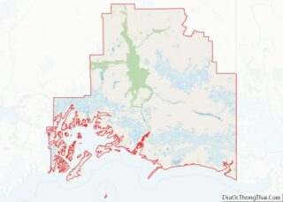
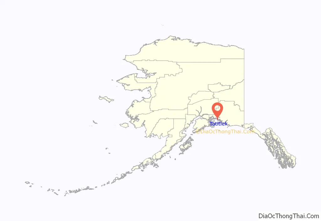
Tatitlek location map. Where is Tatitlek CDP?
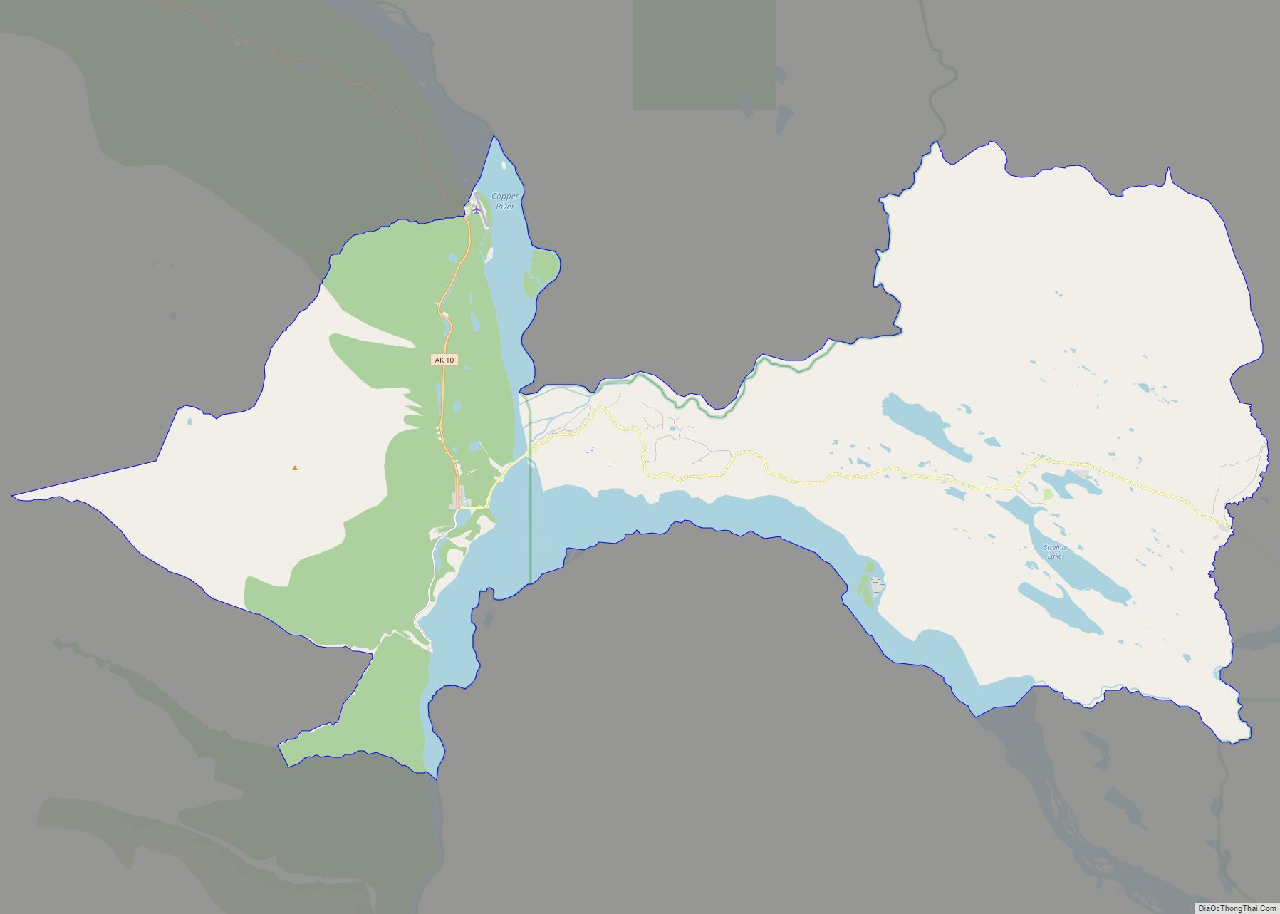
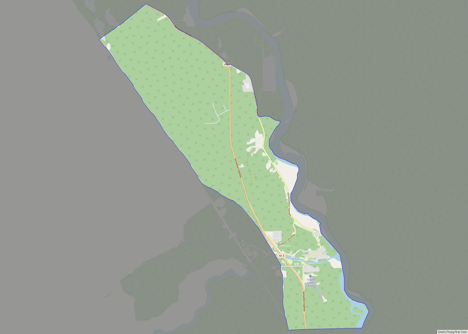
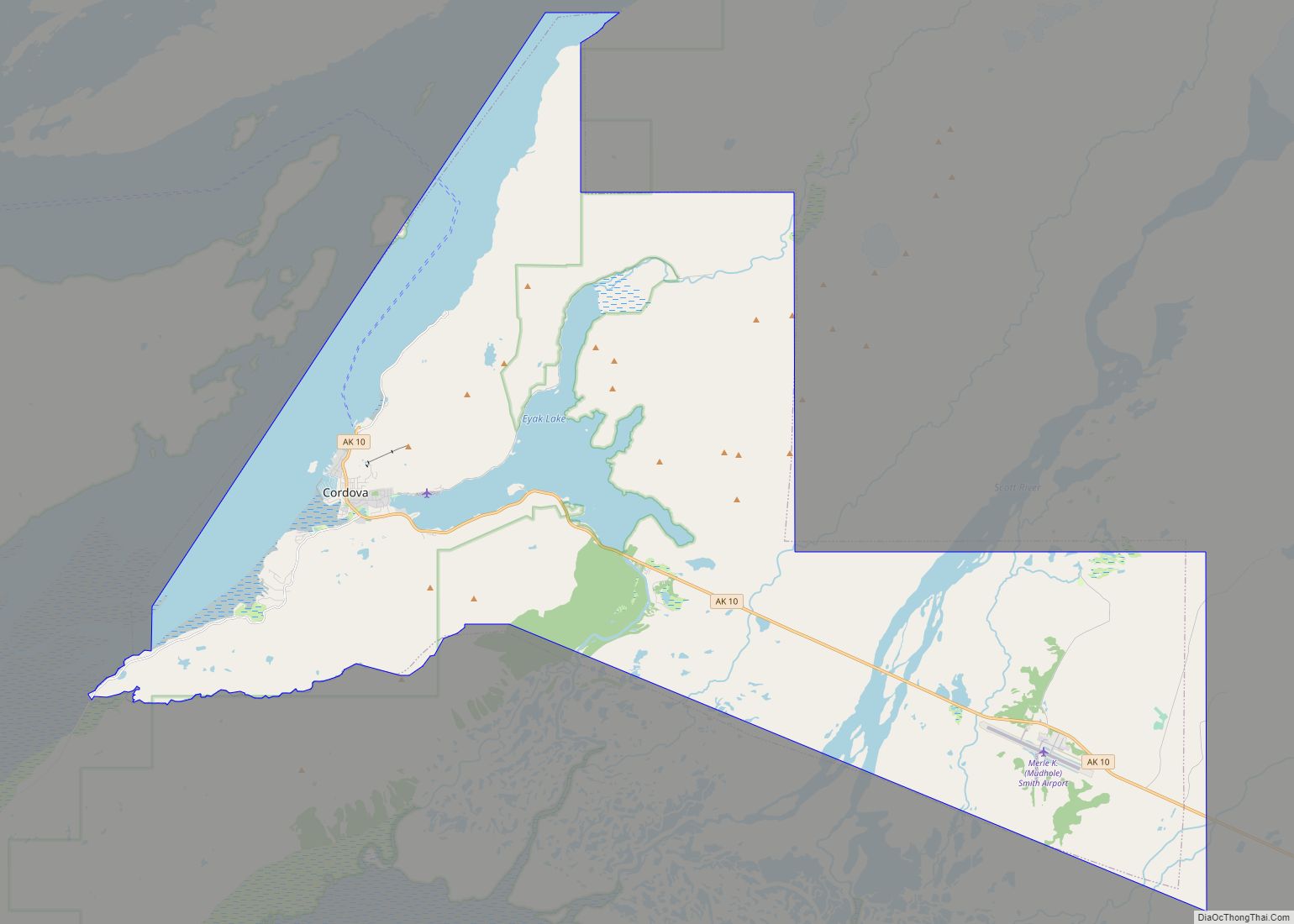
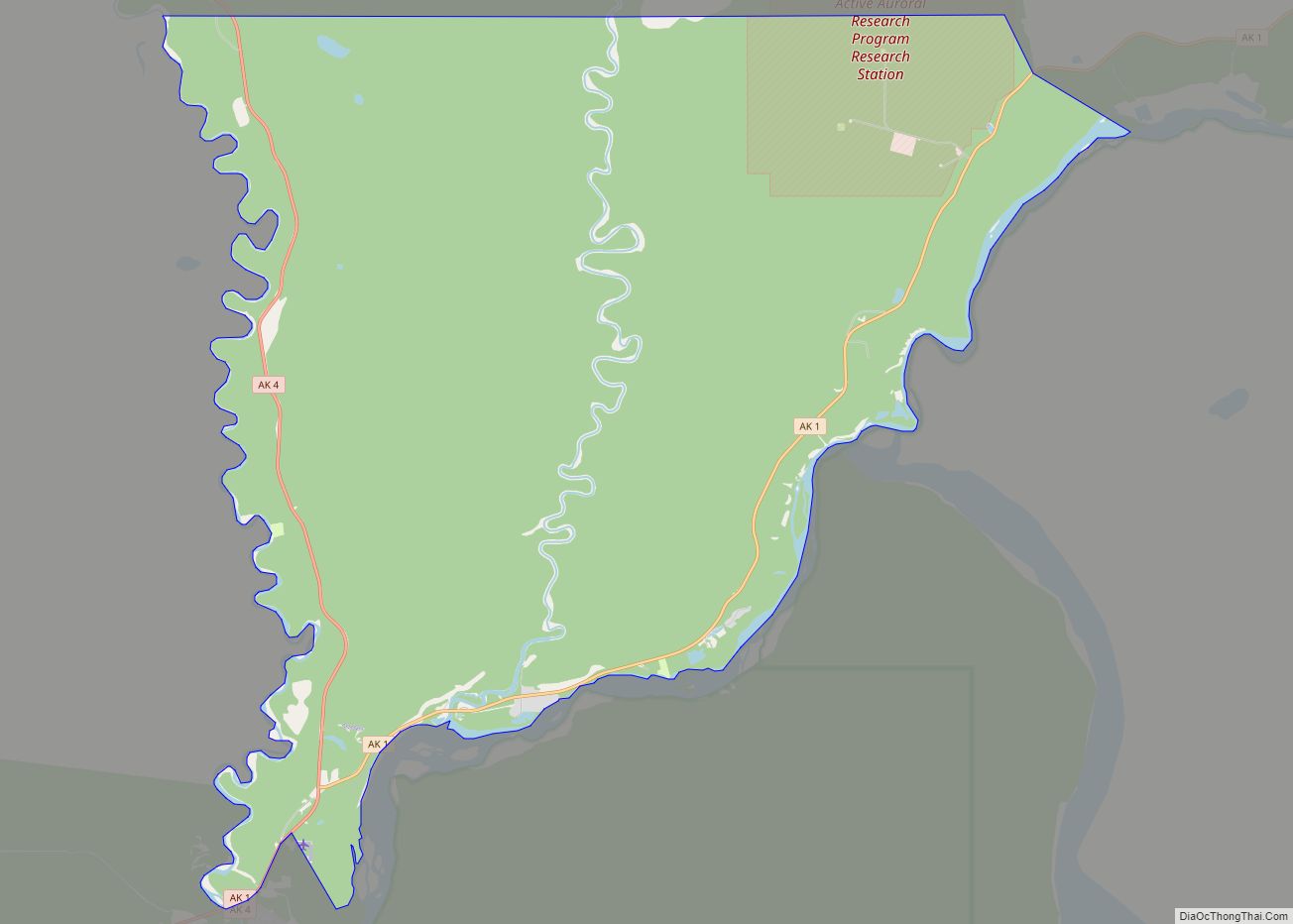
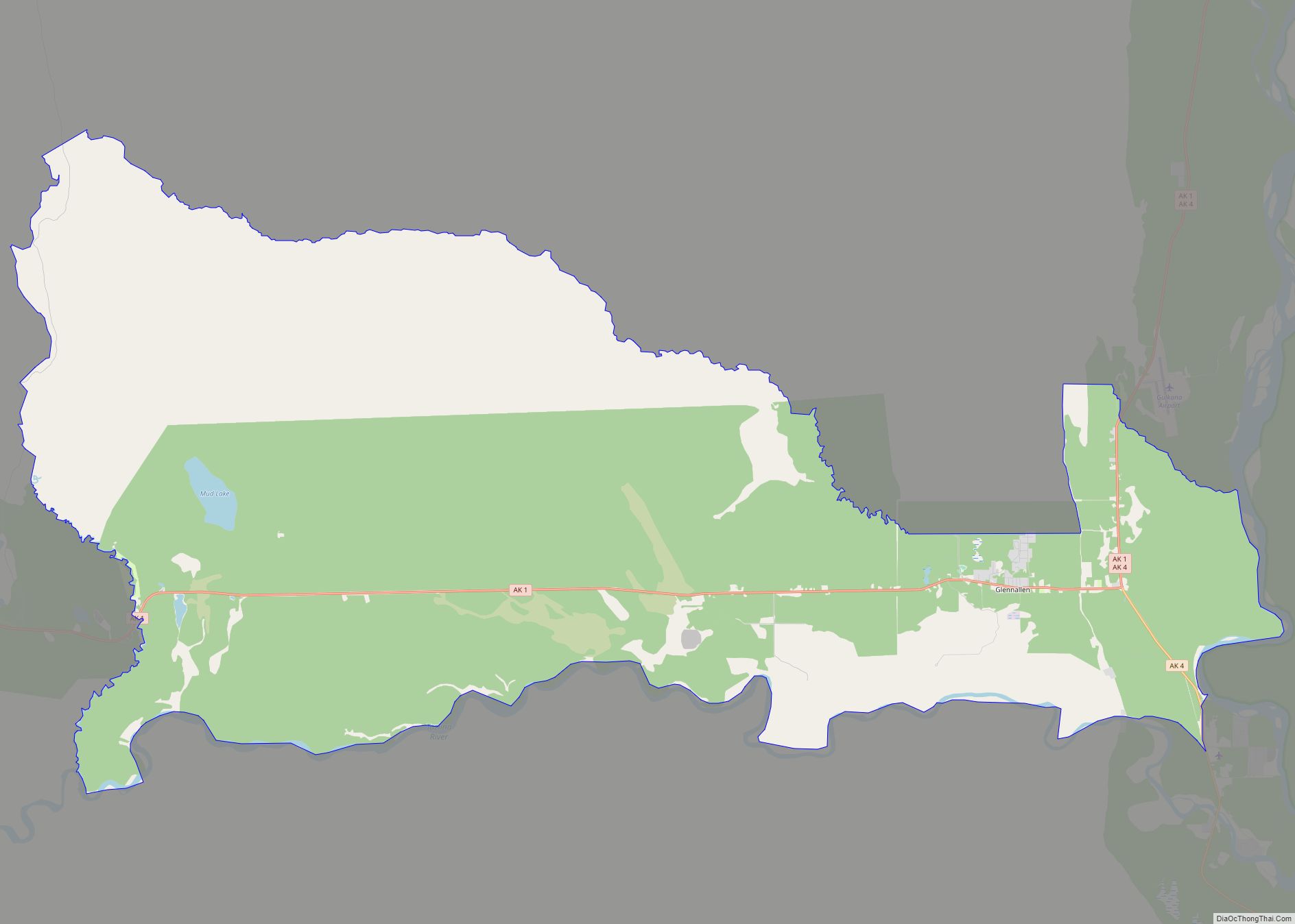
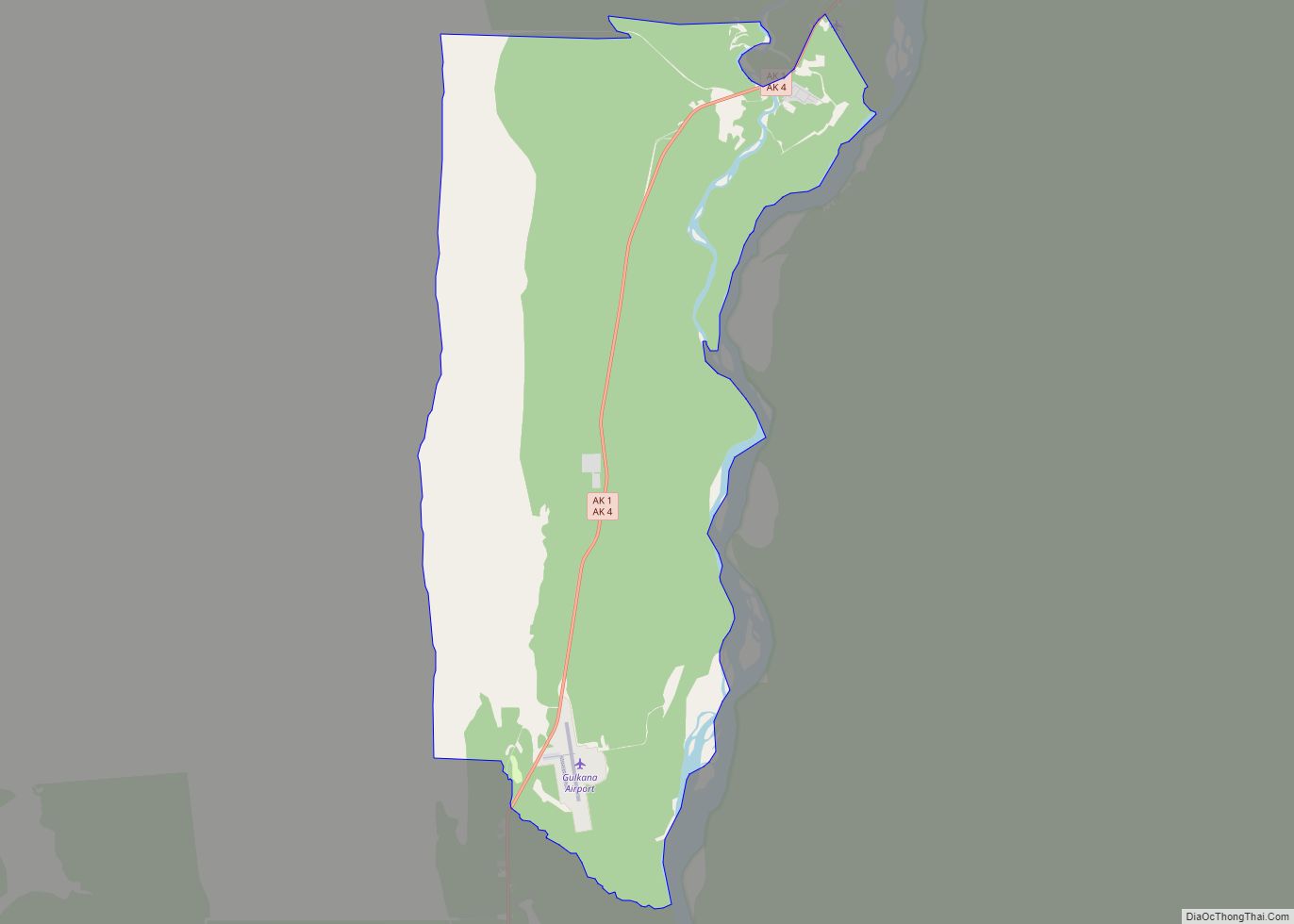
Tatitlek Road Map
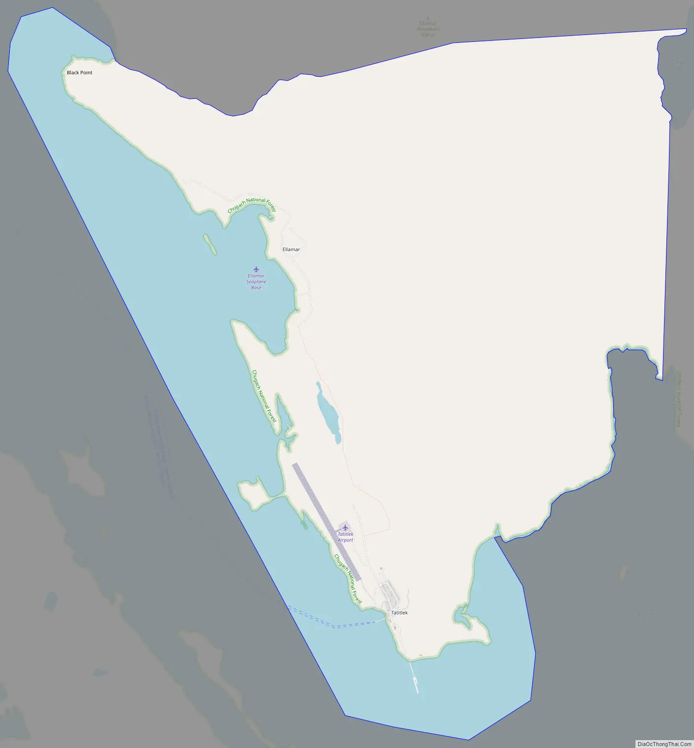
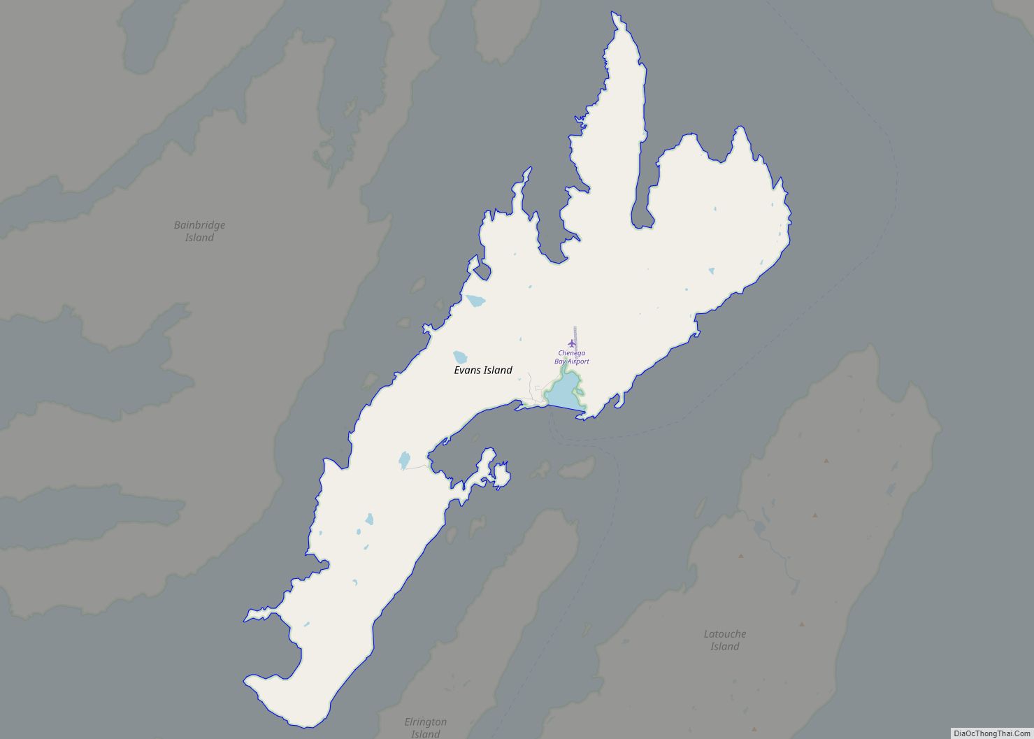
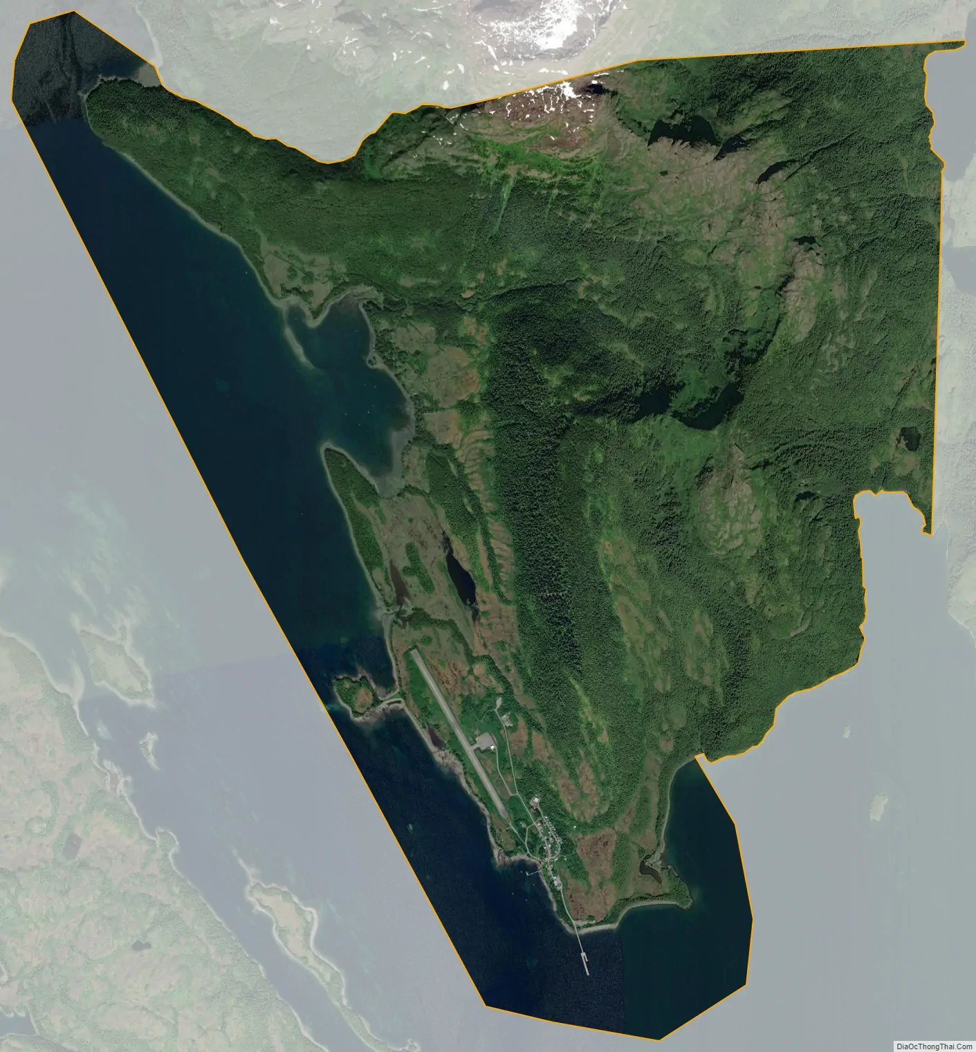
Tatitlek city Satellite Map
Geography
Tatitlek is located at 60°52′1″N 146°40′38″W / 60.86694°N 146.67722°W / 60.86694; -146.67722 (60.867083, -146.677209).
According to the United States Census Bureau, the CDP has a total area of 7.3 square miles (19 km), all of it land.
Tatitlek is located in the Prince William Sound of Alaska and is most famously known as the nearest village to the 1989 Exxon Valdez spill that decimated the area fishing resources.
See also
Map of Alaska State and its subdivision:- Aleutians East
- Aleutians West
- Anchorage
- Bethel
- Bristol Bay
- Denali
- Dillingham
- Fairbanks North Star
- Haines
- Juneau
- Kenai Peninsula
- Ketchikan Gateway
- Kodiak Island
- Lake and Peninsula
- Matanuska-Susitna
- Nome
- North Slope
- Northwest Arctic
- Prince of Wales-Outer Ketchi
- Sitka
- Skagway-Yakutat-Angoon
- Southeast Fairbanks
- Valdez-Cordova
- Wade Hampton
- Wrangell-Petersburg
- Yukon-Koyukuk
- Alabama
- Alaska
- Arizona
- Arkansas
- California
- Colorado
- Connecticut
- Delaware
- District of Columbia
- Florida
- Georgia
- Hawaii
- Idaho
- Illinois
- Indiana
- Iowa
- Kansas
- Kentucky
- Louisiana
- Maine
- Maryland
- Massachusetts
- Michigan
- Minnesota
- Mississippi
- Missouri
- Montana
- Nebraska
- Nevada
- New Hampshire
- New Jersey
- New Mexico
- New York
- North Carolina
- North Dakota
- Ohio
- Oklahoma
- Oregon
- Pennsylvania
- Rhode Island
- South Carolina
- South Dakota
- Tennessee
- Texas
- Utah
- Vermont
- Virginia
- Washington
- West Virginia
- Wisconsin
- Wyoming