Ardencroft is a village in New Castle County, Delaware, United States. According to the 2010 census, the population of the village is 231.
The village was founded in 1950 as an outgrowth of Arden and Ardentown with a conceptual lifestyle based on Henry George’s single tax movement and William Morris’s arts and crafts principles. The last of seventeen land trusts founded between 1894 and 1950, Ardencroft’s tax structure is based on the single tax economic philosophy of Henry George. As a result, a person’s house is not taxed, only the land it sits on, which is owned by a charitable trust and managed by three directors. Half the land is woods and open space. Footpaths criss-cross the village. At its founding in 1950, Ardencroft formally encouraged minorities to settle there, seeking families that wanted to live in an integrated setting. The nearby, former Arden School (now the Buzz Ware Village Center) also allowed integration around this time, prior to many of the changes enacted by the Civil Rights Movement.
Civil rights and suffragist activist, prolific writer, pilot, librarian, lecturer, and educator Pauline A. Young (1900 to 1991) moved into Ardencroft around this time. The outspoken Young was famous for having joined the NAACP in 1912 at the age of 12, lectured and worked conferences with W. E. B. Du Bois in the 1930s, and in 1965 marched with Martin Luther King Jr. in Alabama.
| Name: | Ardencroft village |
|---|---|
| LSAD Code: | 47 |
| LSAD Description: | village (suffix) |
| State: | Delaware |
| County: | New Castle County |
| Elevation: | 279 ft (85 m) |
| Total Area: | 0.09 sq mi (0.23 km²) |
| Land Area: | 0.09 sq mi (0.23 km²) |
| Water Area: | 0.00 sq mi (0.00 km²) |
| Total Population: | 226 |
| Population Density: | 2,539.33/sq mi (982.37/km²) |
| Area code: | 302 |
| FIPS code: | 1001530 |
| GNISfeature ID: | 217491 |
Online Interactive Map
Click on ![]() to view map in "full screen" mode.
to view map in "full screen" mode.
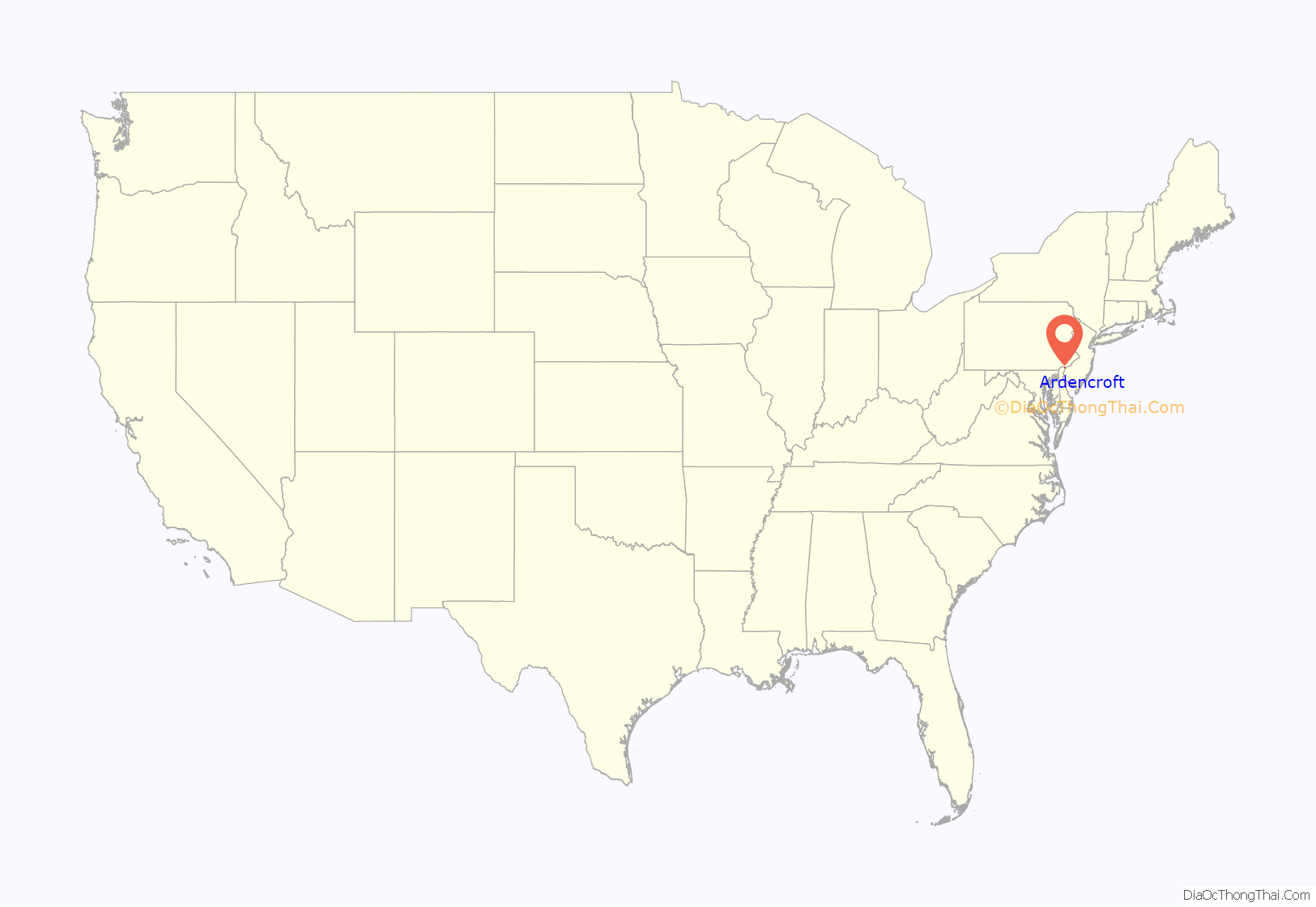
Ardencroft location map. Where is Ardencroft village?
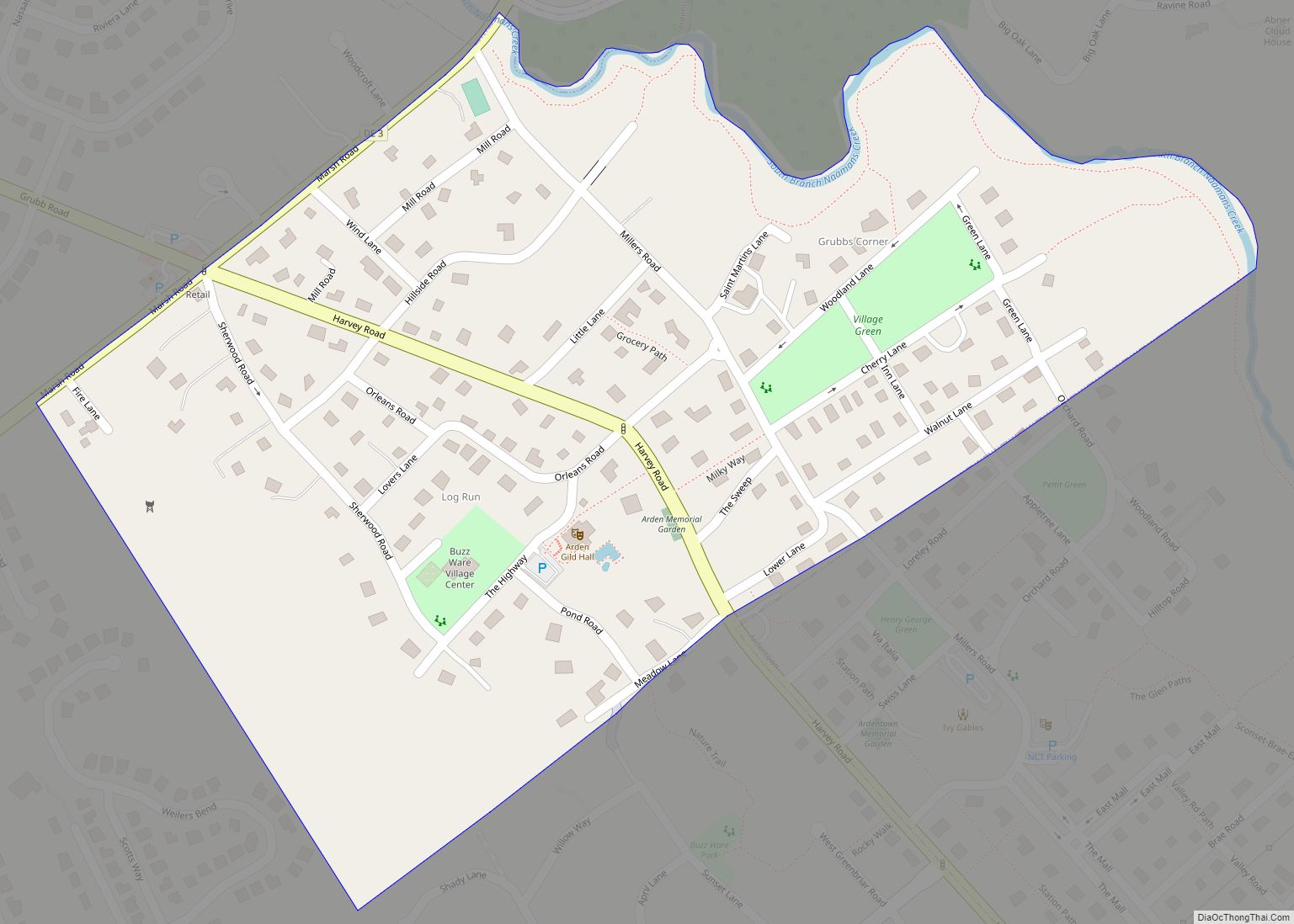
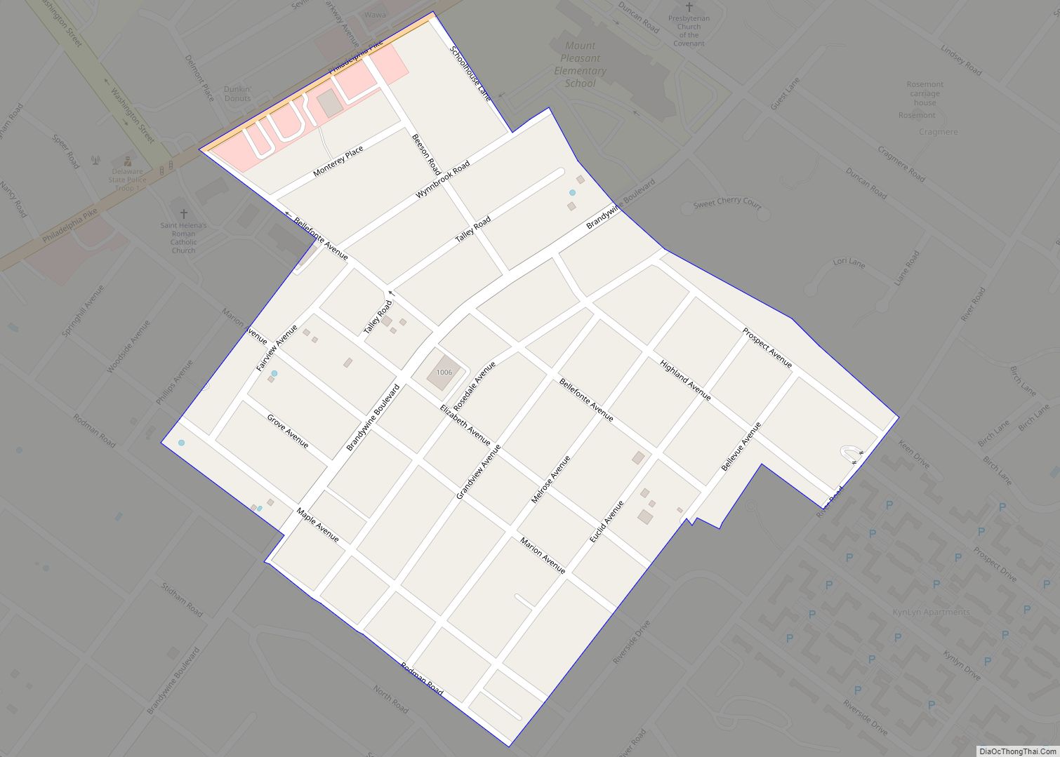
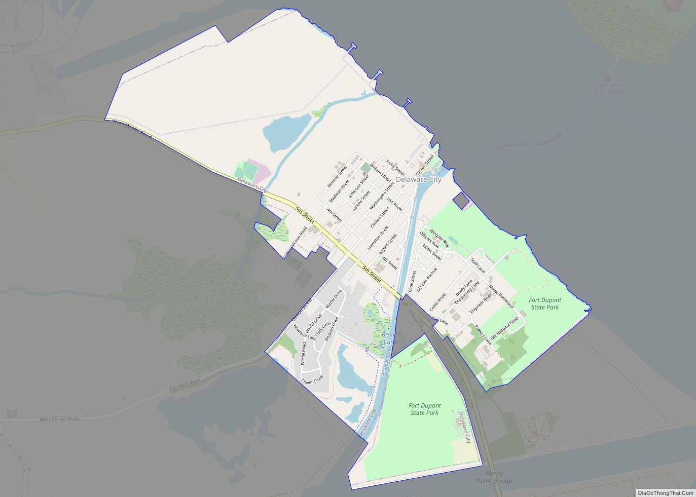
Ardencroft Road Map
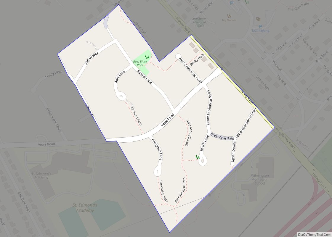
Ardencroft city Satellite Map
Geography
Ardencroft is located at 39°48′15″N 75°29′29″W / 39.80417°N 75.49139°W / 39.80417; -75.49139 (39.8042795, –75.4913090).
As reported by the United States Census Bureau, the village has a total area of 0.1 square miles (0.26 km), all land.
See also
Map of Delaware State and its subdivision: Map of other states:- Alabama
- Alaska
- Arizona
- Arkansas
- California
- Colorado
- Connecticut
- Delaware
- District of Columbia
- Florida
- Georgia
- Hawaii
- Idaho
- Illinois
- Indiana
- Iowa
- Kansas
- Kentucky
- Louisiana
- Maine
- Maryland
- Massachusetts
- Michigan
- Minnesota
- Mississippi
- Missouri
- Montana
- Nebraska
- Nevada
- New Hampshire
- New Jersey
- New Mexico
- New York
- North Carolina
- North Dakota
- Ohio
- Oklahoma
- Oregon
- Pennsylvania
- Rhode Island
- South Carolina
- South Dakota
- Tennessee
- Texas
- Utah
- Vermont
- Virginia
- Washington
- West Virginia
- Wisconsin
- Wyoming
