Ardentown is a village in New Castle County, Delaware, United States. According to the 2010 Census, the population of the village is 264.
Ardentown was founded by Donald Stephens in 1922 as an outgrowth of Arden with a conceptual lifestyle based on Henry George’s Single tax movement and William Morris’s Arts and Crafts principles. “Don” Stephens is the son of Arden’s founder Frank Stephens.
| Name: | Ardentown village |
|---|---|
| LSAD Code: | 47 |
| LSAD Description: | village (suffix) |
| State: | Delaware |
| County: | New Castle County |
| Elevation: | 233 ft (71 m) |
| Total Area: | 0.23 sq mi (0.61 km²) |
| Land Area: | 0.23 sq mi (0.61 km²) |
| Water Area: | 0.00 sq mi (0.00 km²) |
| Total Population: | 255 |
| Population Density: | 1,089.74/sq mi (420.66/km²) |
| Area code: | 302 |
| FIPS code: | 1001660 |
| GNISfeature ID: | 216842 |
| Website: | ardentown.delaware.gov |
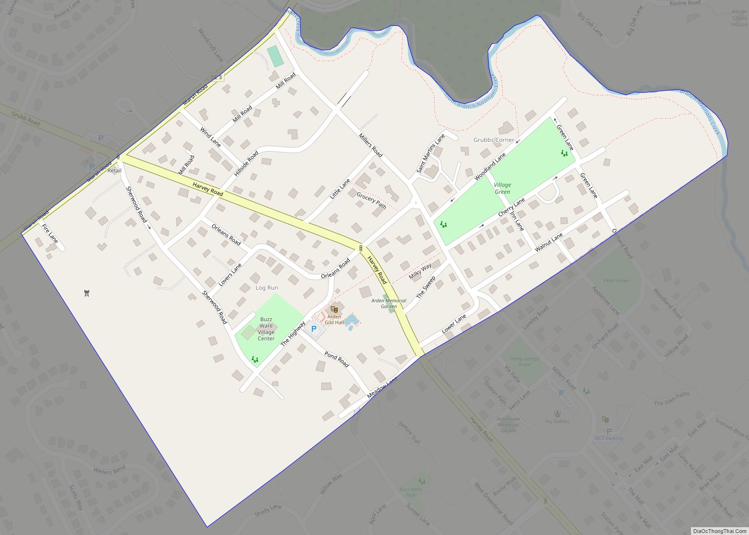
Online Interactive Map
Click on ![]() to view map in "full screen" mode.
to view map in "full screen" mode.
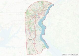
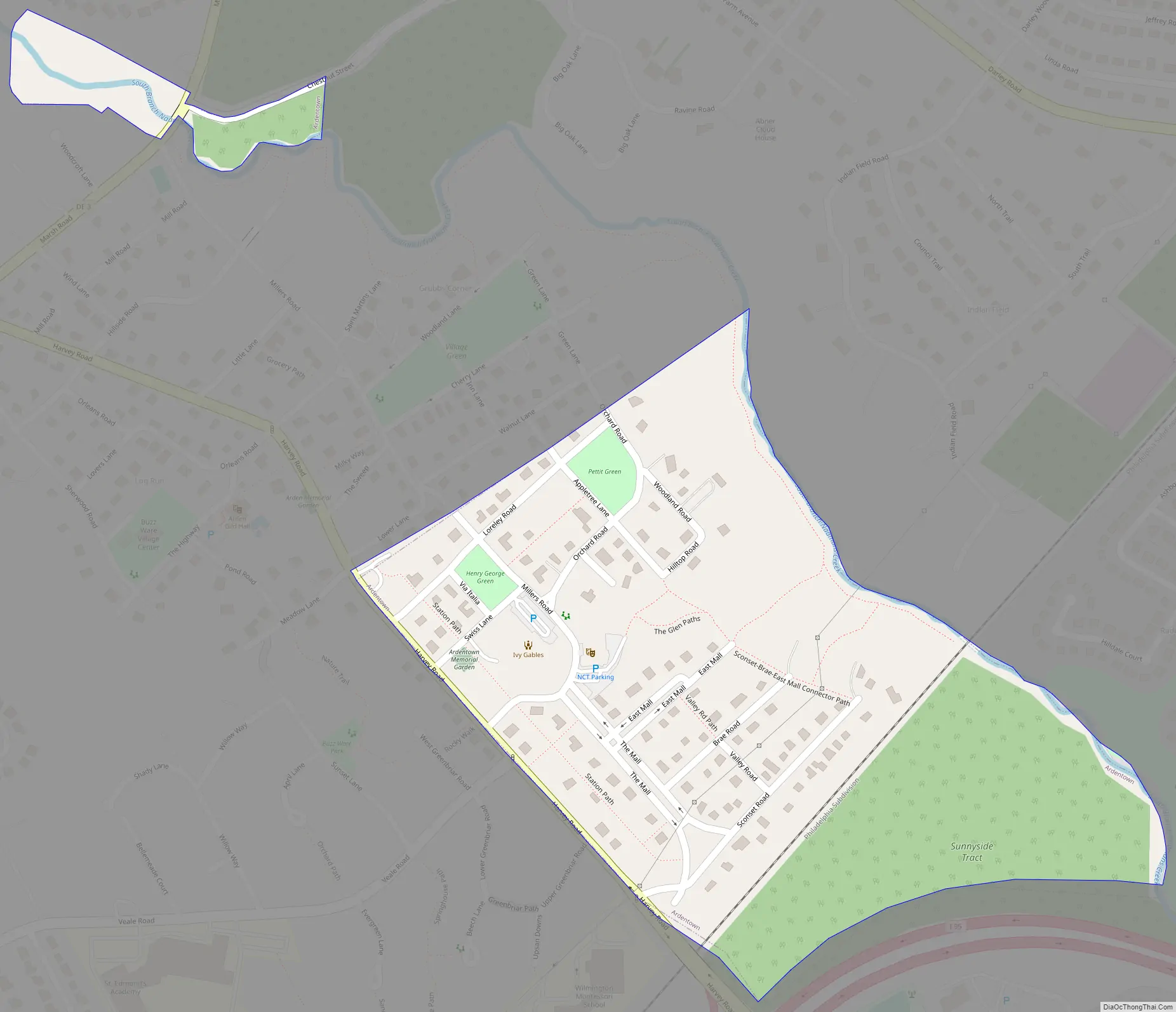
Ardentown location map. Where is Ardentown village?


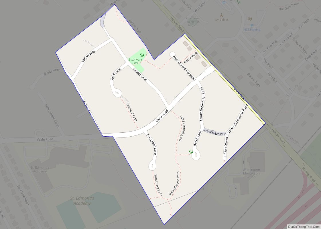
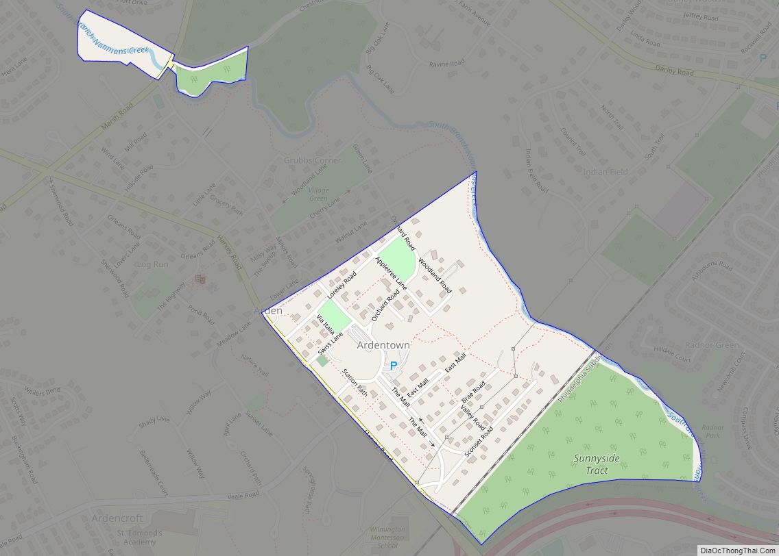
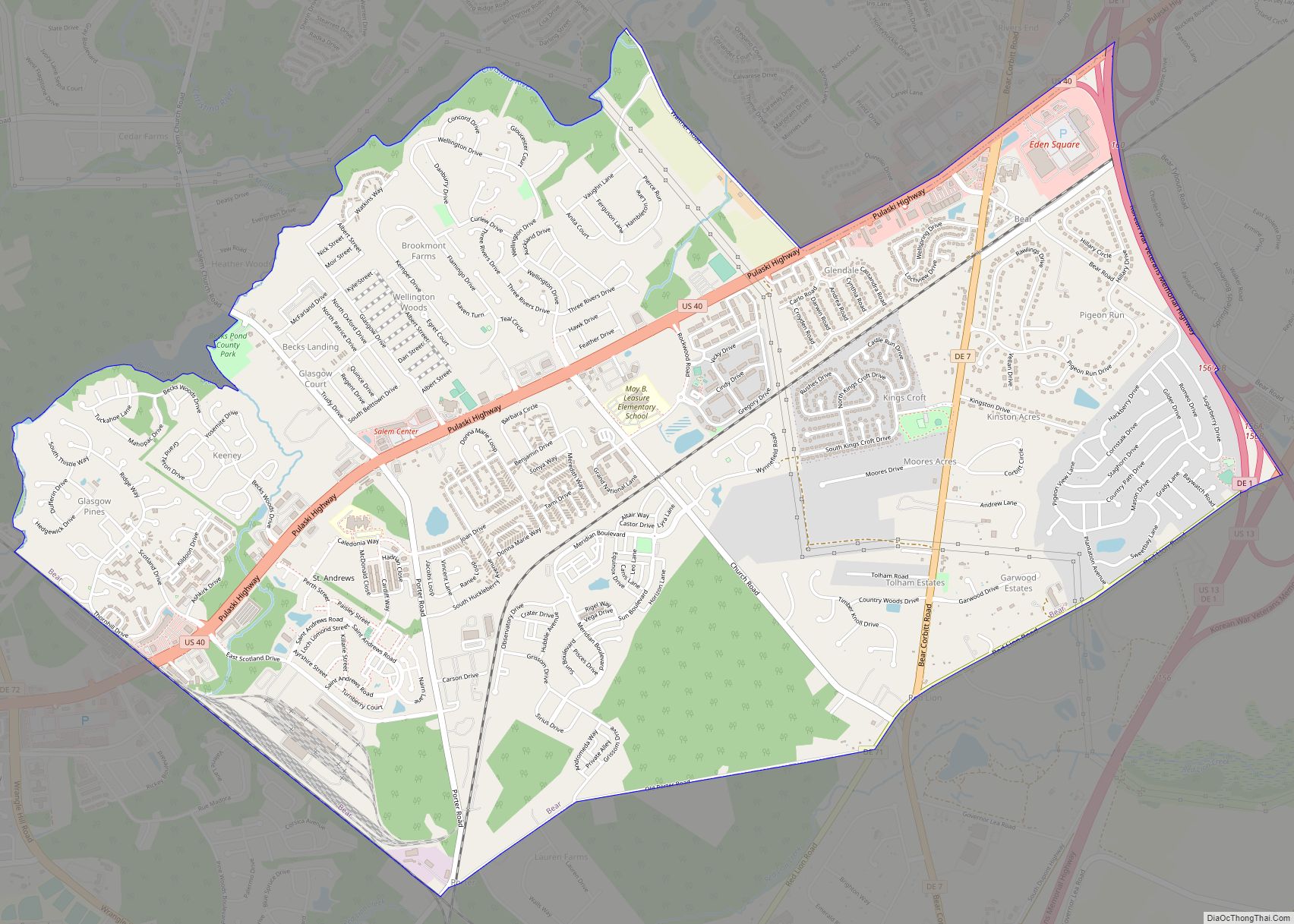
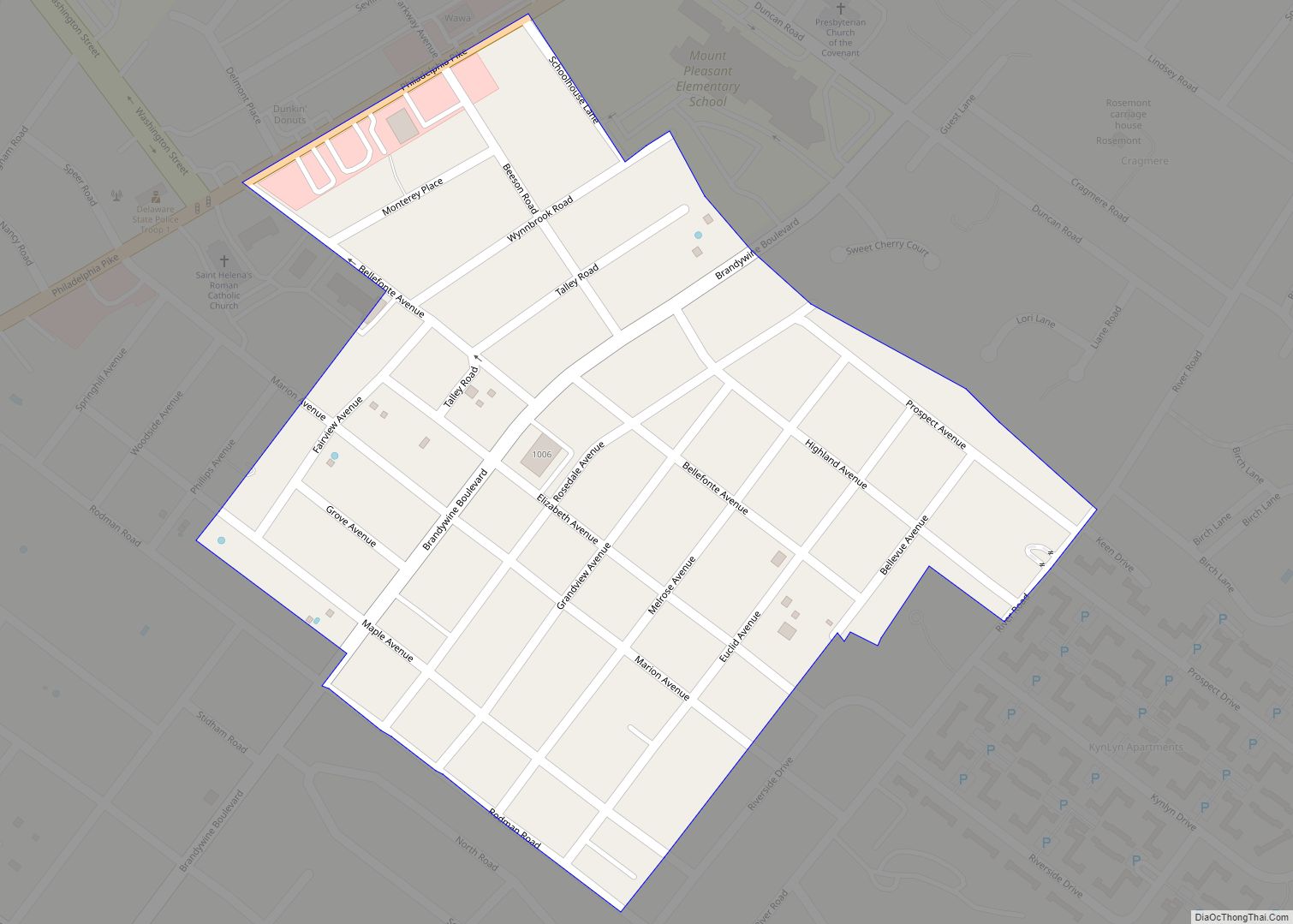
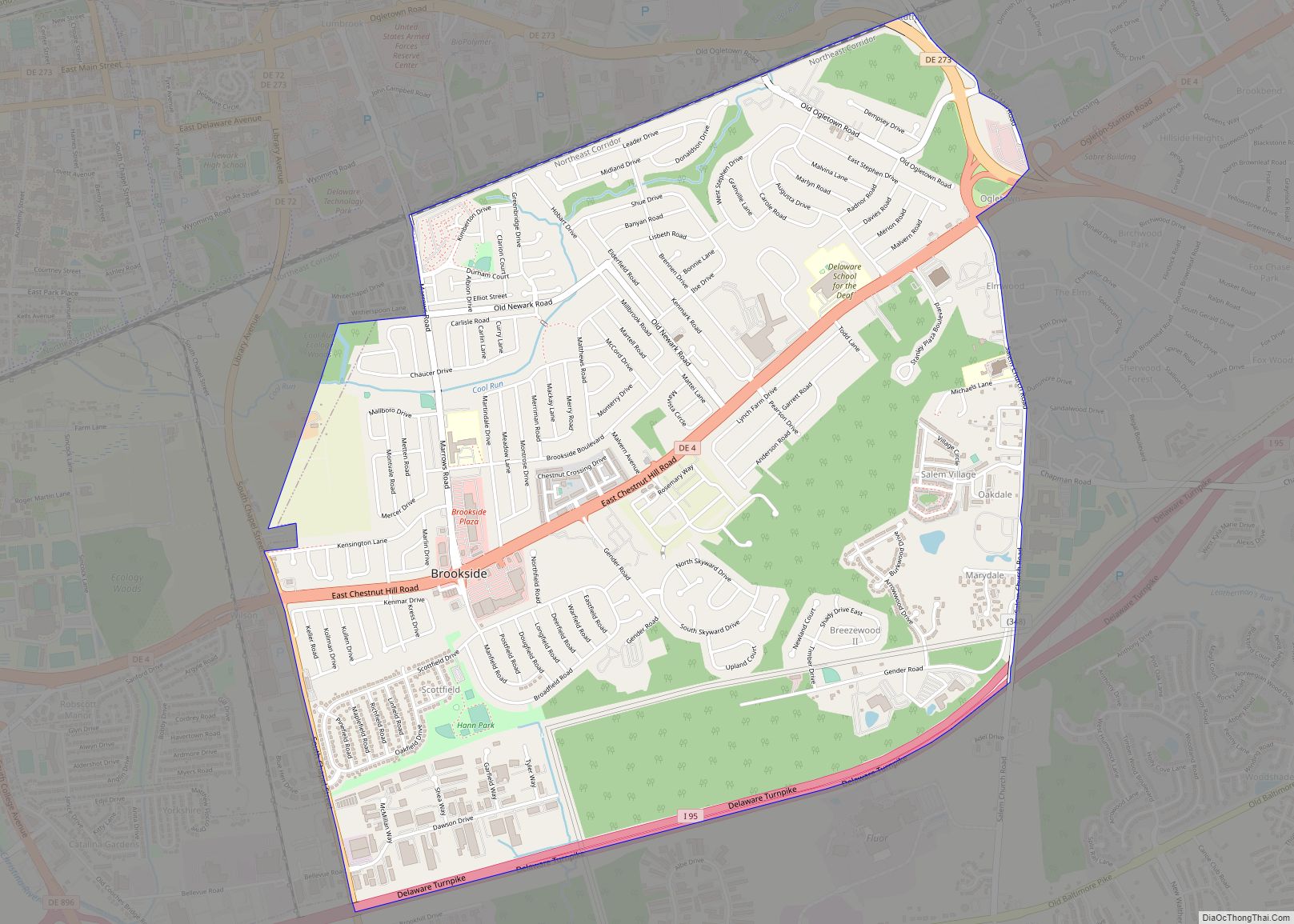
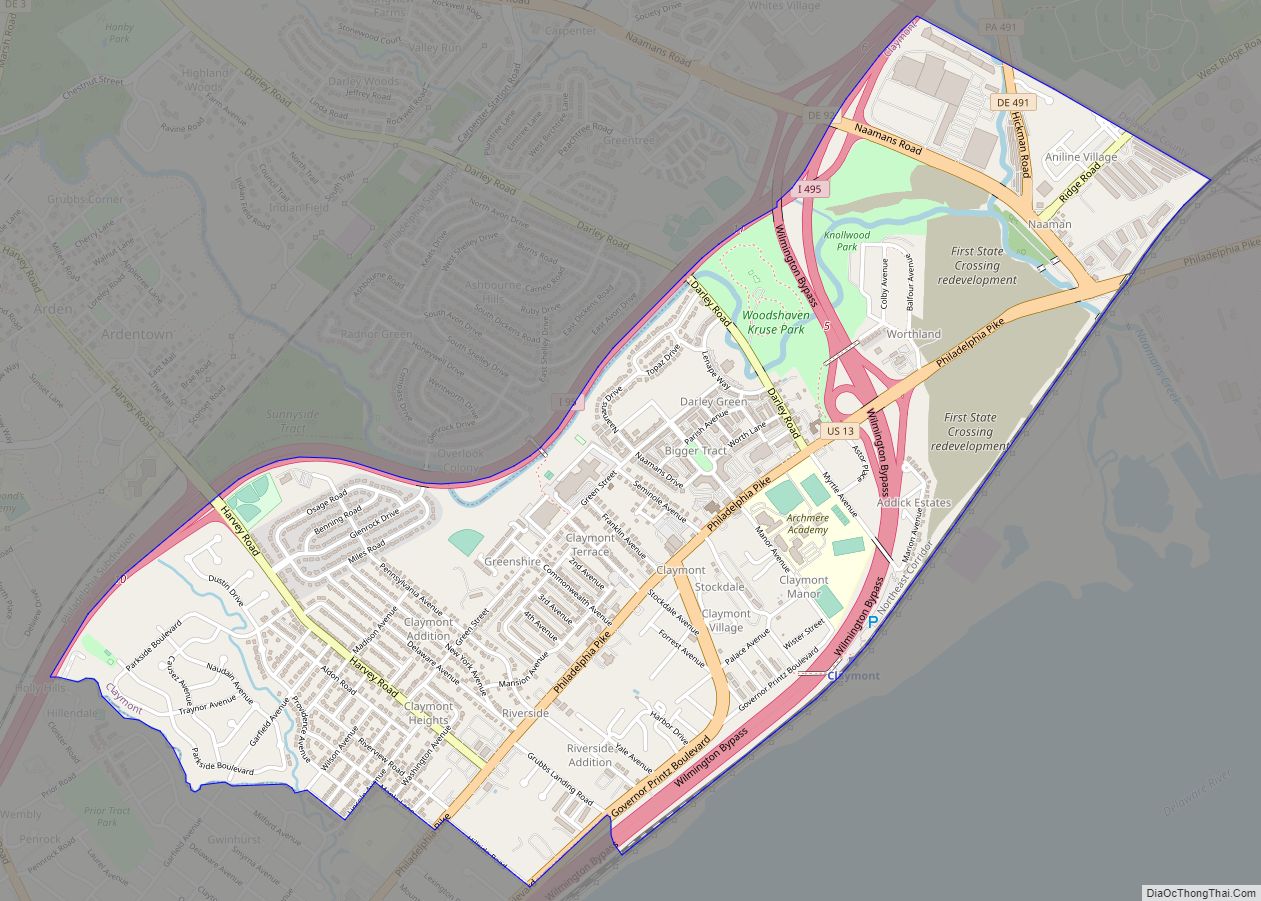
Ardentown Road Map
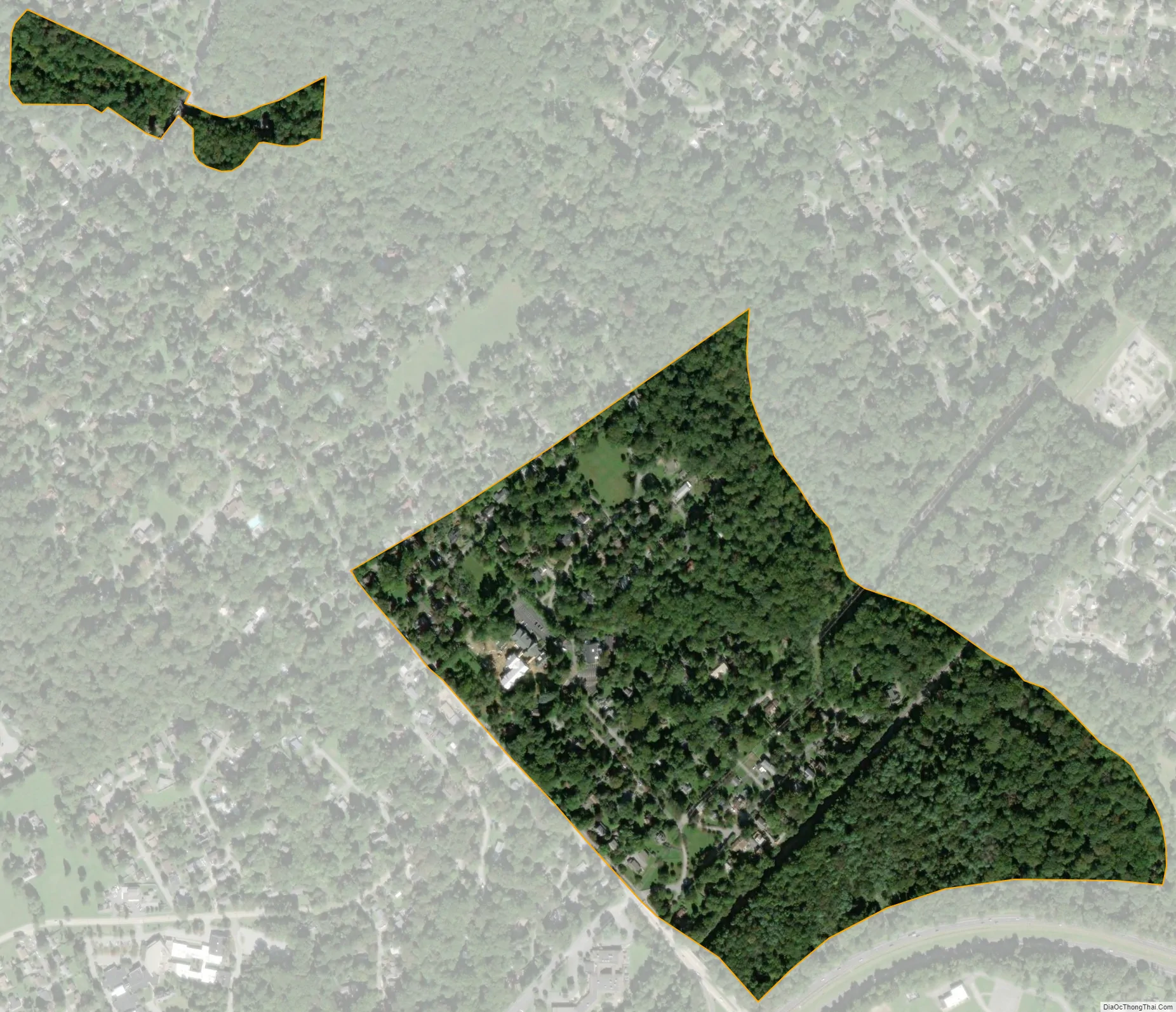
Ardentown city Satellite Map
Geography
Ardentown is located at 39°48′30″N 75°28′59″W / 39.80833°N 75.48306°W / 39.80833; -75.48306 (39.8084460, –75.4829752).
According to the United States Census Bureau, the village has a total area of 0.2 square miles (0.52 km), all land.
See also
Map of Delaware State and its subdivision: Map of other states:- Alabama
- Alaska
- Arizona
- Arkansas
- California
- Colorado
- Connecticut
- Delaware
- District of Columbia
- Florida
- Georgia
- Hawaii
- Idaho
- Illinois
- Indiana
- Iowa
- Kansas
- Kentucky
- Louisiana
- Maine
- Maryland
- Massachusetts
- Michigan
- Minnesota
- Mississippi
- Missouri
- Montana
- Nebraska
- Nevada
- New Hampshire
- New Jersey
- New Mexico
- New York
- North Carolina
- North Dakota
- Ohio
- Oklahoma
- Oregon
- Pennsylvania
- Rhode Island
- South Carolina
- South Dakota
- Tennessee
- Texas
- Utah
- Vermont
- Virginia
- Washington
- West Virginia
- Wisconsin
- Wyoming