Bear is a census-designated place (CDP) in New Castle County, Delaware, United States. The population was 19,371 at the 2010 census.
Originally a small crossroads in a rural area, approximately 14 miles (23 km) south of Wilmington, the area supported small farms growing mainly corn and cattle. In the late 1980s and 1990s Bear became a popular location for the construction of sprawling housing developments and shopping centers along U.S. Route 40. Much of Bear runs along the highway, and extends to approximately Delaware Route 896.
| Name: | Bear CDP |
|---|---|
| LSAD Code: | 57 |
| LSAD Description: | CDP (suffix) |
| State: | Delaware |
| County: | New Castle County |
| Elevation: | 69 ft (21 m) |
| Total Area: | 5.78 sq mi (14.98 km²) |
| Land Area: | 5.78 sq mi (14.98 km²) |
| Water Area: | 0.00 sq mi (0.00 km²) |
| Total Population: | 23,060 |
| Population Density: | 3,986.86/sq mi (1,539.25/km²) |
| ZIP code: | 19701 |
| Area code: | 302 |
| FIPS code: | 1004130 |
| GNISfeature ID: | 216026 |
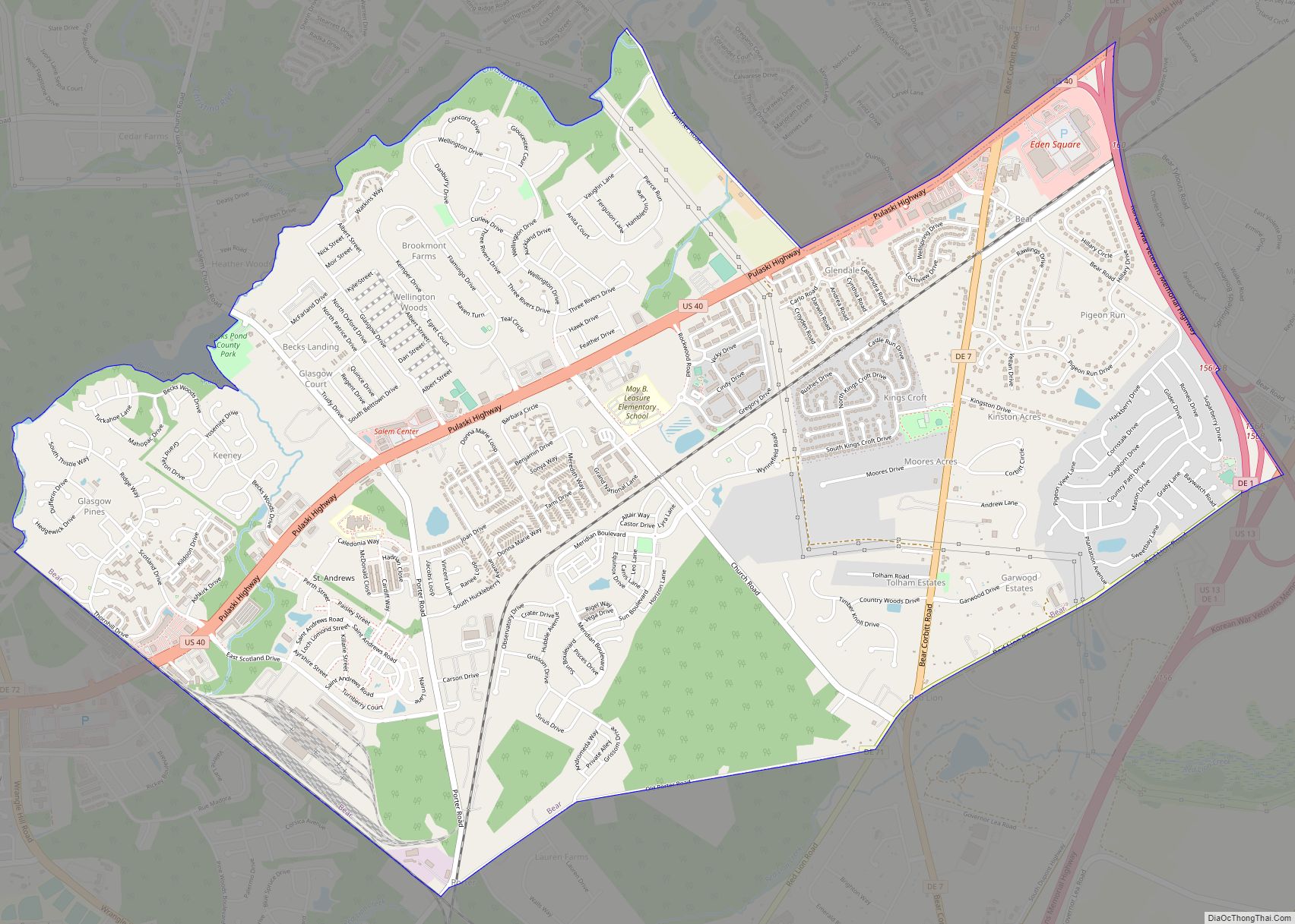
Online Interactive Map
Click on ![]() to view map in "full screen" mode.
to view map in "full screen" mode.
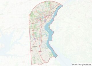
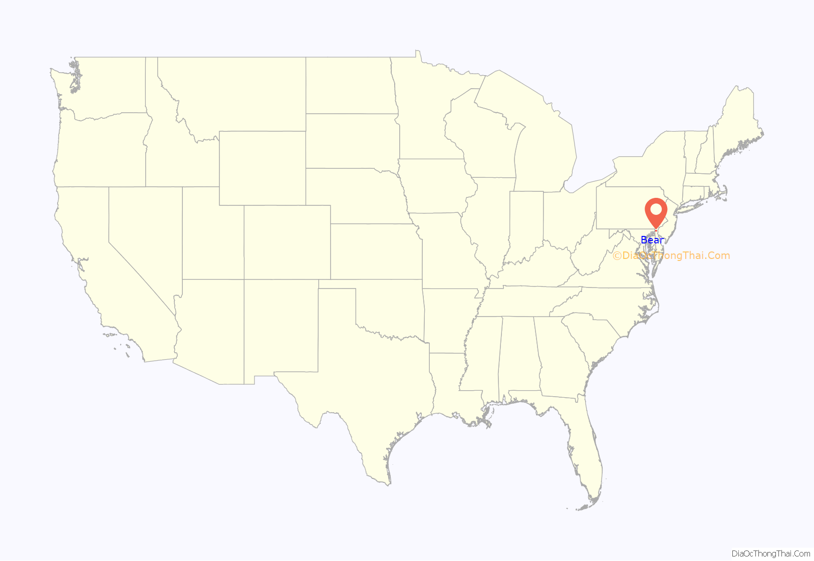
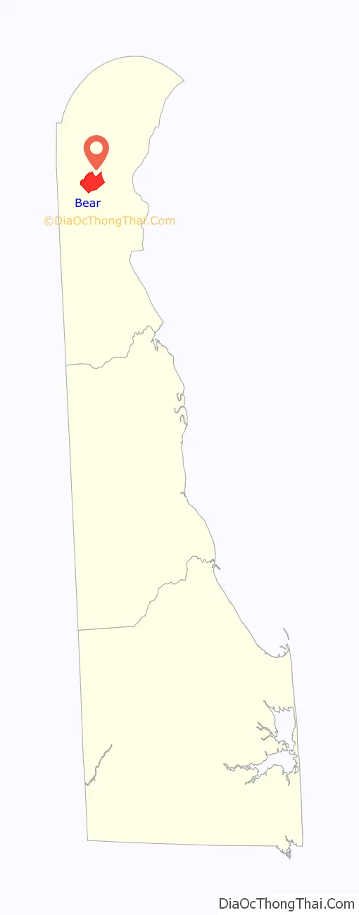
Bear location map. Where is Bear CDP?
History
According to common legend, the name “Bear” originated from a tavern located along the roadway from Wilmington to Dover, Delaware (at the intersection now formed by U.S. Route 40 and Delaware Route 7), whose sign was decorated with the image of a large bear, and which George Washington had reportedly visited.
Bear’s population was 50 in 1890, and was 59 in 1900.
In later years, Bear has had a history of being centered around shopping centers and neighborhoods located along U.S. Route 40.
White Hall was listed on the National Register of Historic Places in 1990.
Bear Road Map
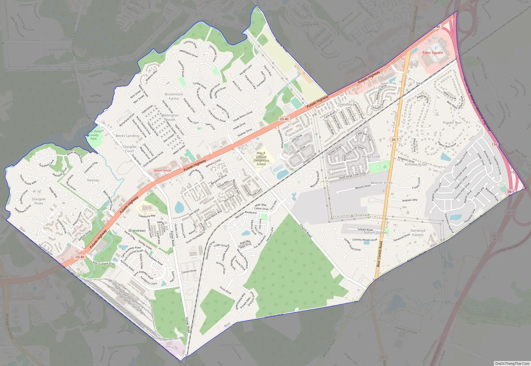
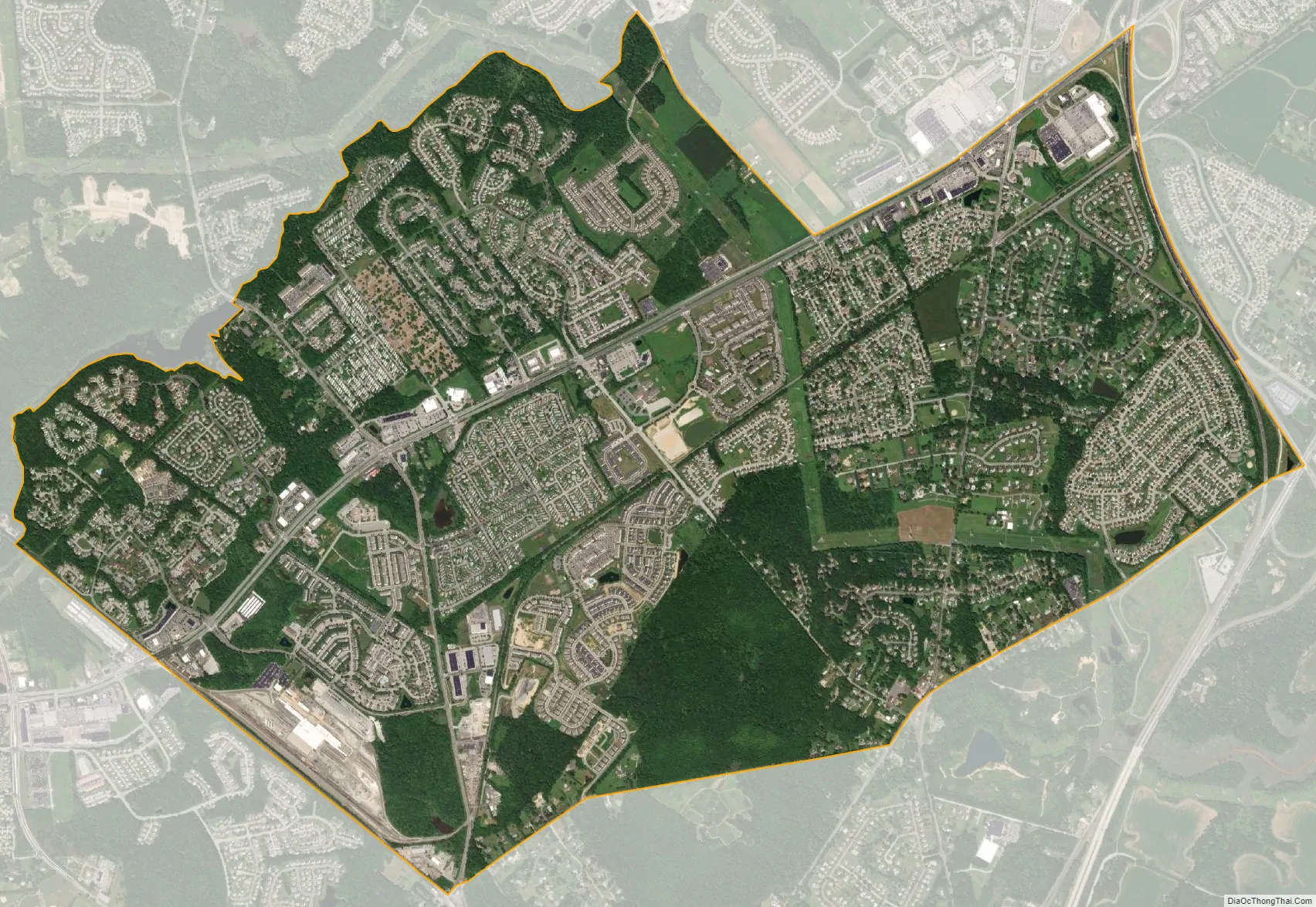
Bear city Satellite Map
Geography
Bear is located at 39°37′45″N 75°39′30″W / 39.62917°N 75.65833°W / 39.62917; -75.65833 (39.6292788, -75.6582628).
According to the United States Census Bureau, the CDP has a total area of 5.7 square miles (15 km), all land.
Bear is located approximately 14 miles south of Wilmington and about 44 miles from Philadelphia, Pennsylvania.
See also
Map of Delaware State and its subdivision: Map of other states:- Alabama
- Alaska
- Arizona
- Arkansas
- California
- Colorado
- Connecticut
- Delaware
- District of Columbia
- Florida
- Georgia
- Hawaii
- Idaho
- Illinois
- Indiana
- Iowa
- Kansas
- Kentucky
- Louisiana
- Maine
- Maryland
- Massachusetts
- Michigan
- Minnesota
- Mississippi
- Missouri
- Montana
- Nebraska
- Nevada
- New Hampshire
- New Jersey
- New Mexico
- New York
- North Carolina
- North Dakota
- Ohio
- Oklahoma
- Oregon
- Pennsylvania
- Rhode Island
- South Carolina
- South Dakota
- Tennessee
- Texas
- Utah
- Vermont
- Virginia
- Washington
- West Virginia
- Wisconsin
- Wyoming