Claymont is a census-designated place (CDP) in New Castle County, Delaware. The estimated 2017 population of the 19703 ZIP code, which Claymont encompasses, was 15,292.
| Name: | Claymont CDP |
|---|---|
| LSAD Code: | 57 |
| LSAD Description: | CDP (suffix) |
| State: | Delaware |
| County: | New Castle County |
| Elevation: | 75 ft (23 m) |
| Total Area: | 2.15 sq mi (5.57 km²) |
| Land Area: | 2.15 sq mi (5.57 km²) |
| Water Area: | 0.00 sq mi (0.00 km²) |
| Total Population: | 9,895 |
| Population Density: | 4,600.19/sq mi (1,776.54/km²) |
| ZIP code: | 19703 |
| Area code: | 302 |
| FIPS code: | 1015310 |
| GNISfeature ID: | 213804 |
| Website: | claymontrenaissance.org |
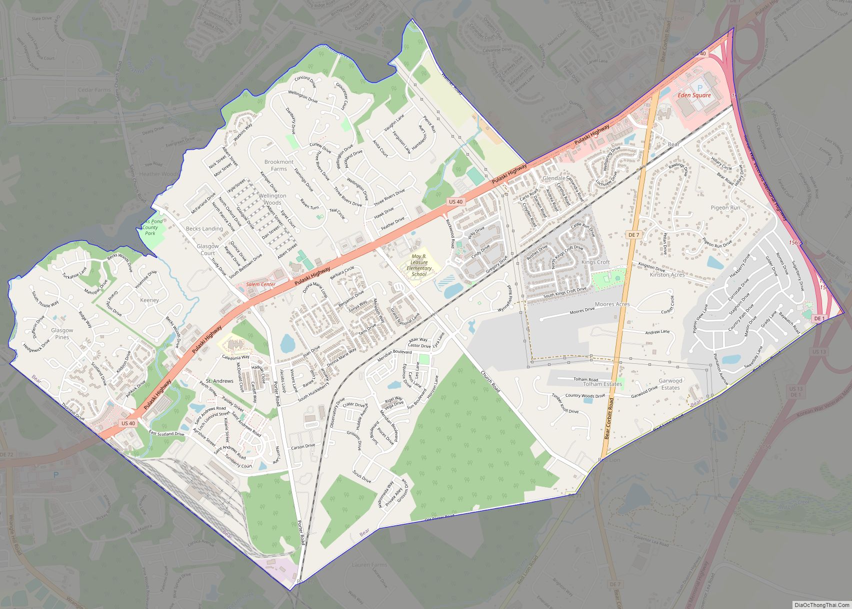
Online Interactive Map
Click on ![]() to view map in "full screen" mode.
to view map in "full screen" mode.
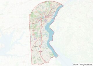
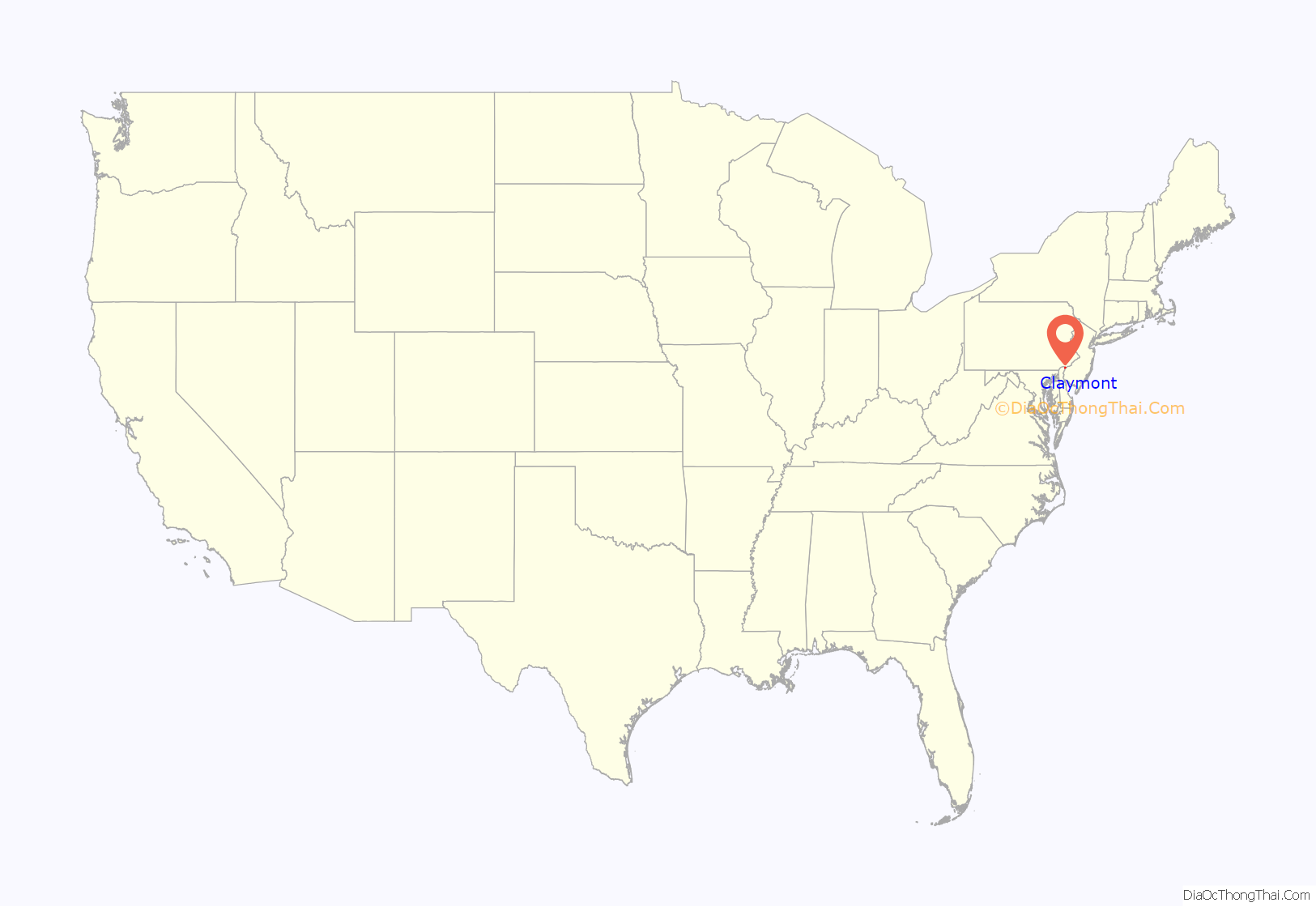
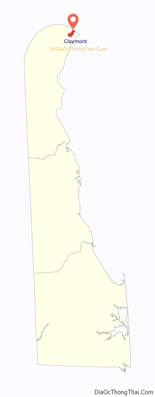
Claymont location map. Where is Claymont CDP?
History
The community now known as Claymont started on the banks of Naamans Creek where it empties into the Delaware River. This once rich ecosystem has been occupied steadily since before 1200 A.D. and has undergone numerous cultural and economic changes, most of which are still evident in the architecture and living patterns of the community today. The first residents were aboriginal Indians of the Middle Woodland period (1100-1600 B.C.). Evidence of these early dwellers has been found along both sides of Naamans Creek. The Dutch named the creek and settlement after the Chief of the Lenape Indians who occupied the region. The settlement grew rapidly from the 17th century through the 20th century, first with gristmills, farms, and related ancillary industries, and later with lumber mills, a steel mill, and a chemical plant.
In 1681, John Grubb purchased a one-third interest in a 600-acre tract of the Brandywine Hundred which came to be known as Grubb’s Landing.
Sitting strategically along the Delaware River, Claymont has been a two-way thoroughfare for travel to and from Philadelphia and Washington, D.C., since colonial days. During the colonial period, the town served as a stop along the King’s Highway, and with its location at the confluence of Interstate 95, Interstate 495, US 13 (Governor Printz Boulevard) and US 13 Bus. Philadelphia Pike has long been a thoroughfare for travel between Philadelphia (20 miles to the north) and Washington, D.C. (100 miles to the south).
In 1838, the newly constructed Philadelphia, Wilmington, and Baltimore Railroad built a station in Claymont. The area developed from a primarily agricultural community to a suburban resort area for wealthy Philadelphia families, and in the early 20th century into an industrial working community. It has included the suburban subdivisions of Claymont Addition, Brookview, Worthland, and Woodstream Gardens.
Naamans became Claymont in 1856 after the Reverend John B. Clemson, pastor of the Episcopal church, relocated with his family from their plantation, Claymont Court, in Charles Town, West Virginia.
Claymont, with its diverse population, has continued to maintain a strong sense of community. The community’s religious, civic, historic, and social organizations play a major role in supporting its unique character.
Renaissance
Since the mid 1990s, several major revitalization efforts have been completed, including renovations of historical sites such as the Claymont Stone School, the Darley House and the Robinson House. The Claymont Renaissance Development Corporation, a nonprofit organization working to stimulate economic growth and residential improvement in Claymont, received a Sustainable Communities Award from the National Association of Counties. In what has been called “the single largest redevelopment project in Brandywine Hundred in the last 40 years”, the 633-unit, 66-acre (270,000 m) community of Brookview was razed beginning in 2007 to make way for the new urbanist, mixed use Darley Green development. In 2017, plans were announced for the redevelopment of the former 450 acre Claymont Steel site. In 2019 construction began on the $71M Claymont Regional Transportation Center which will replace the current small commuter rail stop one half mile to the south.
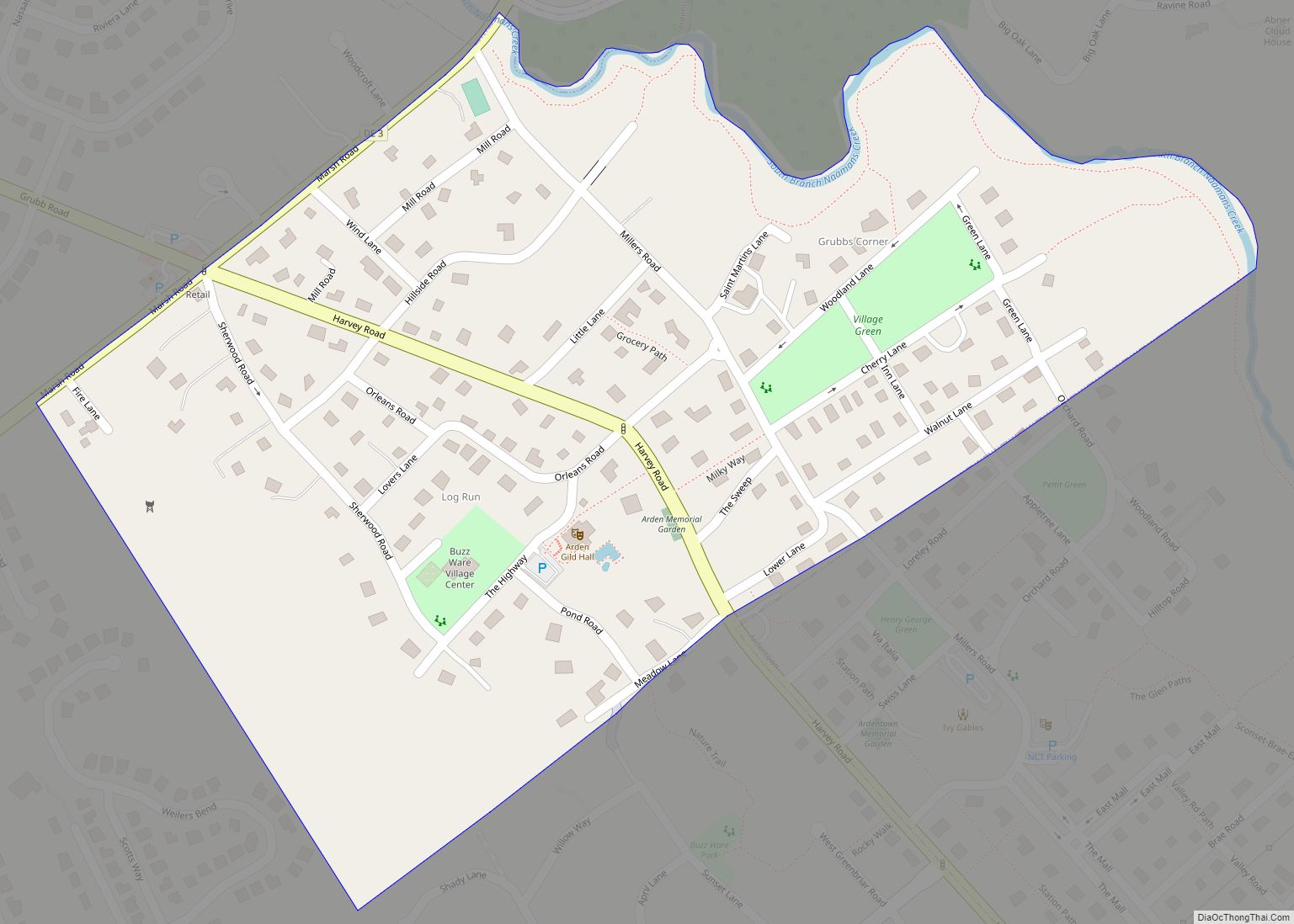
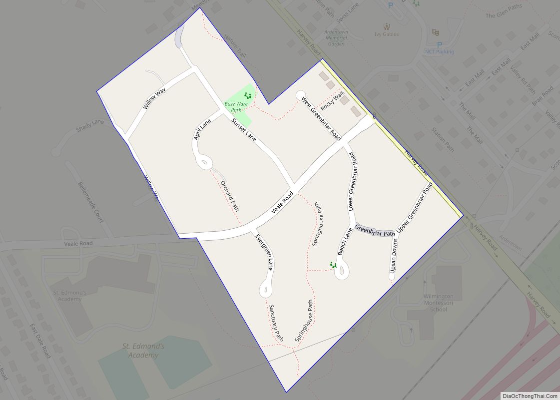
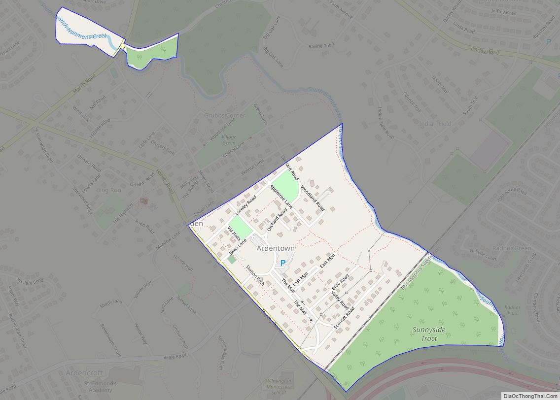
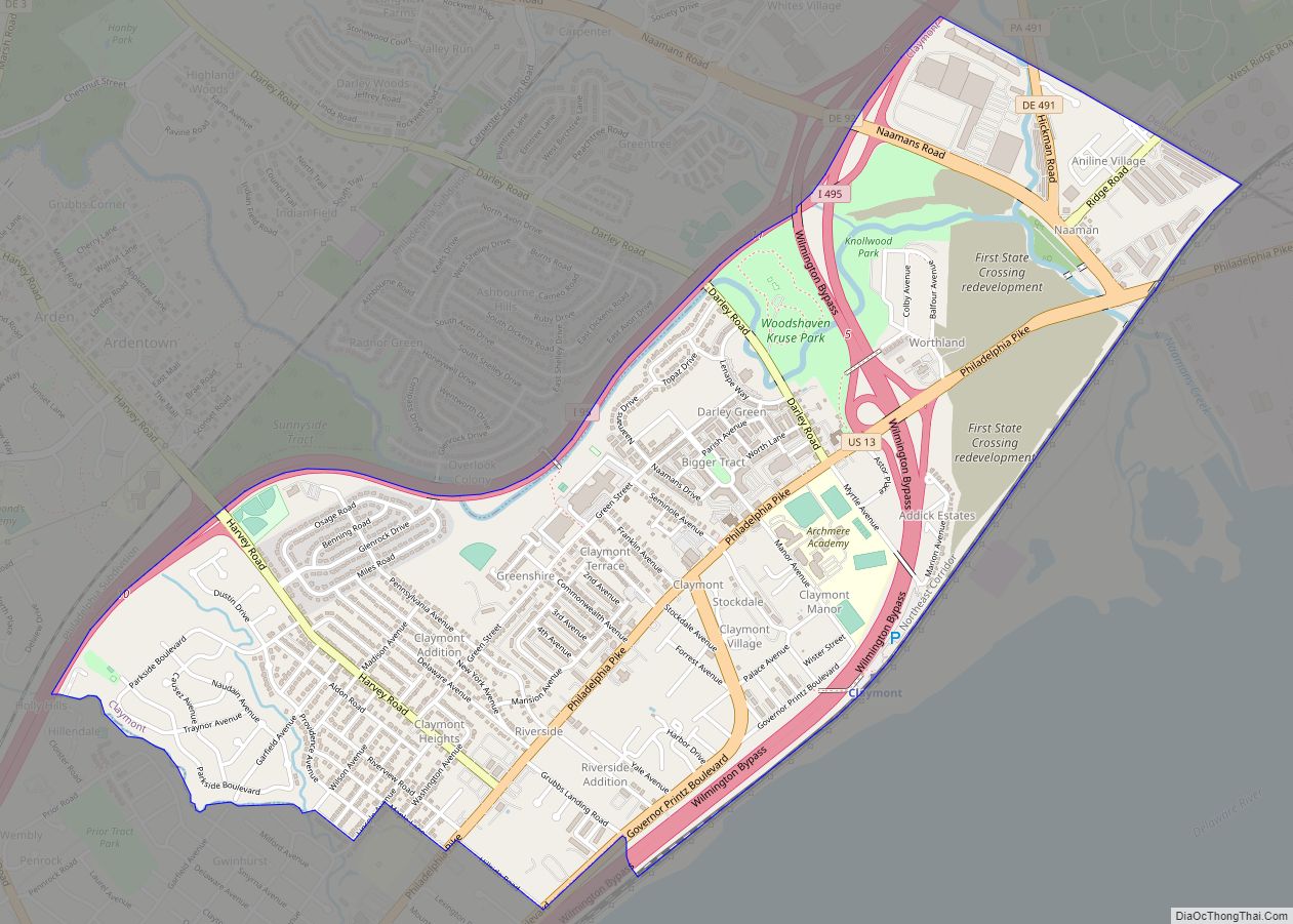
Claymont Road Map
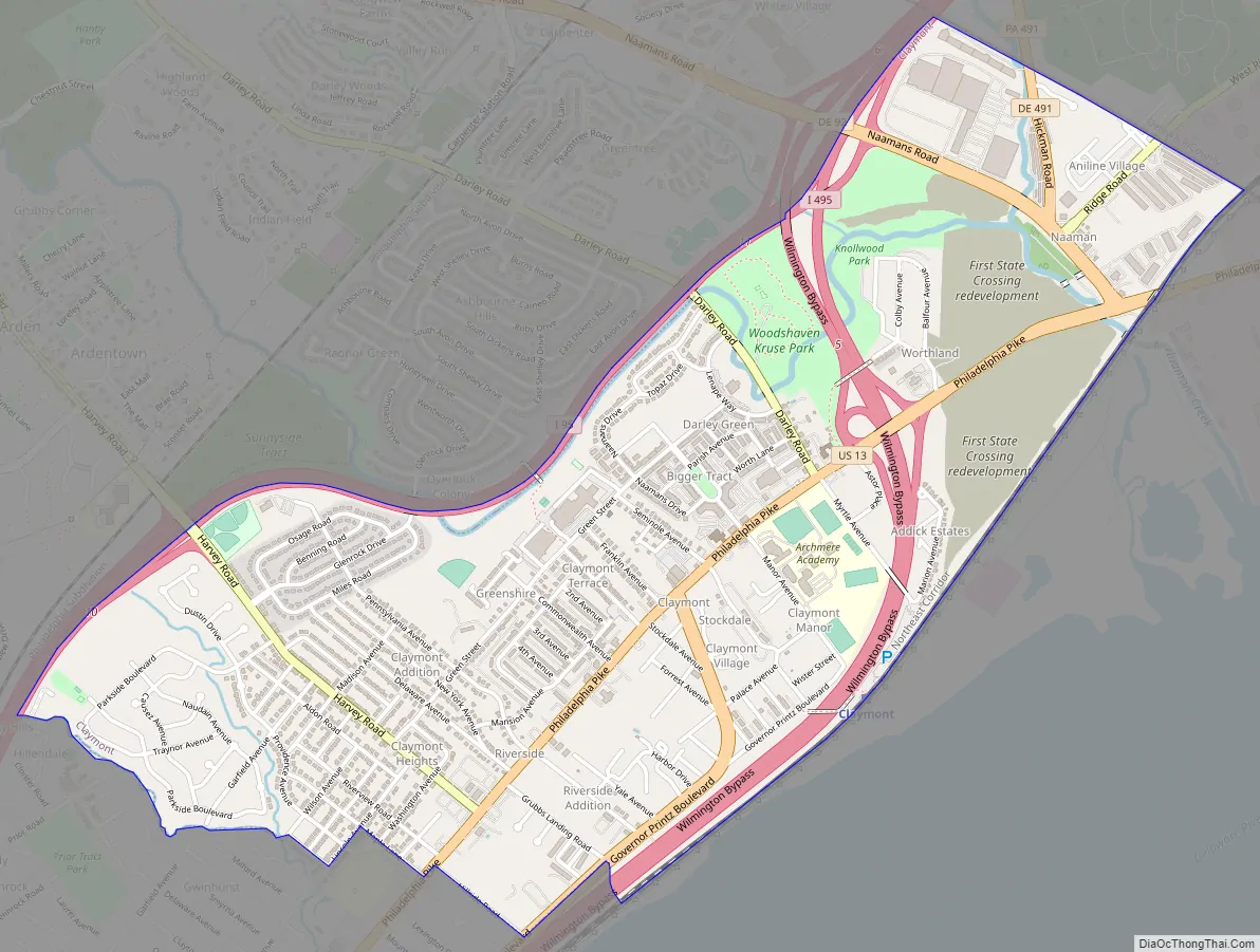
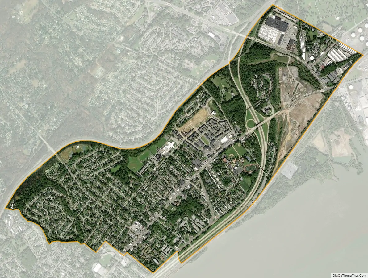
Claymont city Satellite Map
Geography
Claymont is located at 39°48′02″N 75°27′35″W / 39.80056°N 75.45972°W / 39.80056; -75.45972 (39.8006685, -75.4596404), in northeastern Brandywine Hundred, on the ridge line between the coastal floodplain of the Delaware River and the upland piedmont area of northwestern New Castle County.
The area generally considered to be Claymont encompasses the entire 19703 ZIP code, which is bounded by the Pennsylvania border to the north, the Delaware River to the east, the CSX railroad line to the west, and Perkins Run creek to the south.
See also
Map of Delaware State and its subdivision: Map of other states:- Alabama
- Alaska
- Arizona
- Arkansas
- California
- Colorado
- Connecticut
- Delaware
- District of Columbia
- Florida
- Georgia
- Hawaii
- Idaho
- Illinois
- Indiana
- Iowa
- Kansas
- Kentucky
- Louisiana
- Maine
- Maryland
- Massachusetts
- Michigan
- Minnesota
- Mississippi
- Missouri
- Montana
- Nebraska
- Nevada
- New Hampshire
- New Jersey
- New Mexico
- New York
- North Carolina
- North Dakota
- Ohio
- Oklahoma
- Oregon
- Pennsylvania
- Rhode Island
- South Carolina
- South Dakota
- Tennessee
- Texas
- Utah
- Vermont
- Virginia
- Washington
- West Virginia
- Wisconsin
- Wyoming