Delaware City is a city in New Castle County, Delaware, United States. The population was 1,885 as of 2020. It is a small port town on the eastern terminus of the Chesapeake and Delaware Canal and is the location of the Forts Ferry Crossing to Fort Delaware on Pea Patch Island.
| Name: | Delaware City city |
|---|---|
| LSAD Code: | 25 |
| LSAD Description: | city (suffix) |
| State: | Delaware |
| County: | New Castle County |
| Elevation: | 7 ft (2 m) |
| Total Area: | 1.95 sq mi (5.06 km²) |
| Land Area: | 1.86 sq mi (4.82 km²) |
| Water Area: | 0.09 sq mi (0.24 km²) |
| Total Population: | 1,885 |
| Population Density: | 1,012.90/sq mi (391.16/km²) |
| ZIP code: | 19706 |
| Area code: | 302 |
| FIPS code: | 1019730 |
| GNISfeature ID: | 213872 |
| Website: | www.delawarecity.org |
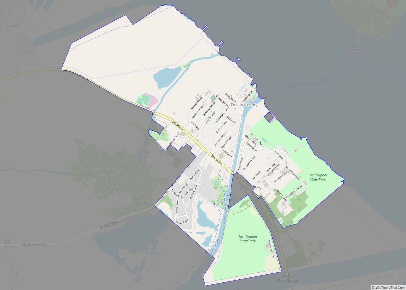
Online Interactive Map
Click on ![]() to view map in "full screen" mode.
to view map in "full screen" mode.
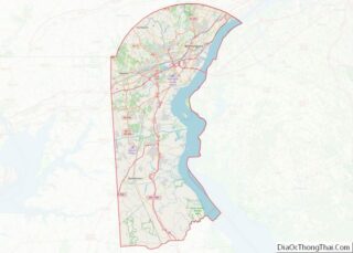
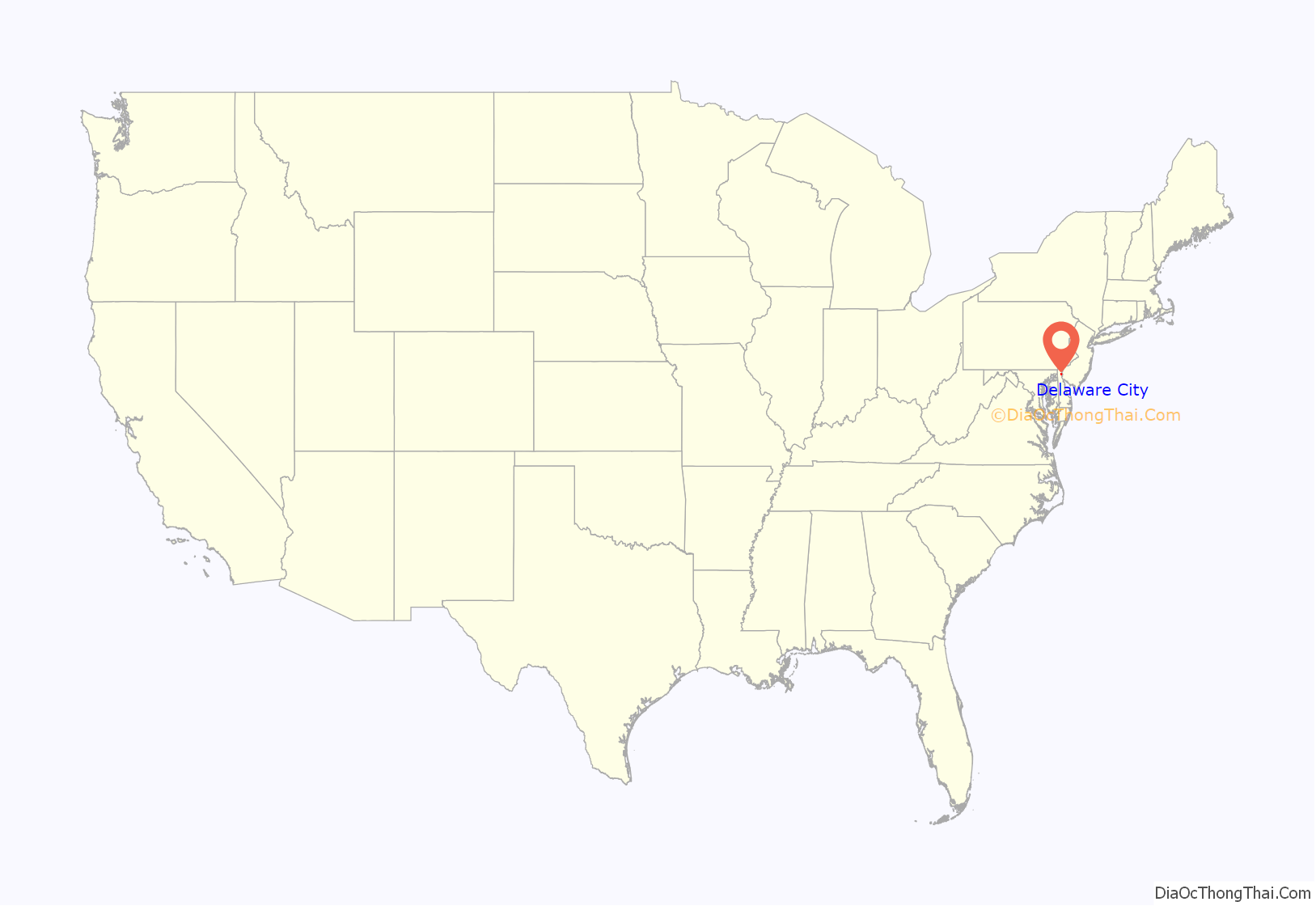
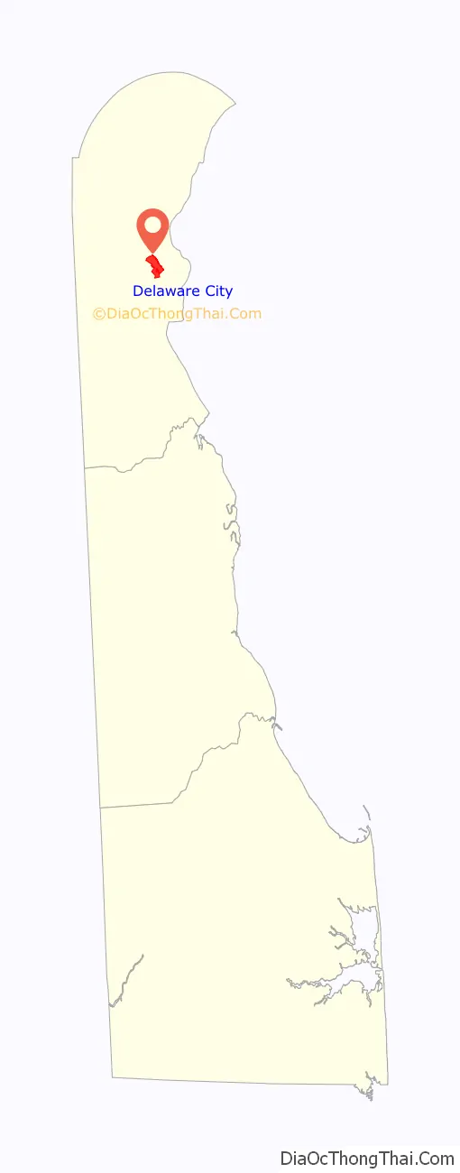
Delaware City location map. Where is Delaware City city?
History
The Delaware City Historic District, Chelsea, Eastern Lock of the Chesapeake and Delaware Canal, Fairview, and Fort Delaware on Pea Patch Island are listed on the National Register of Historic Places.
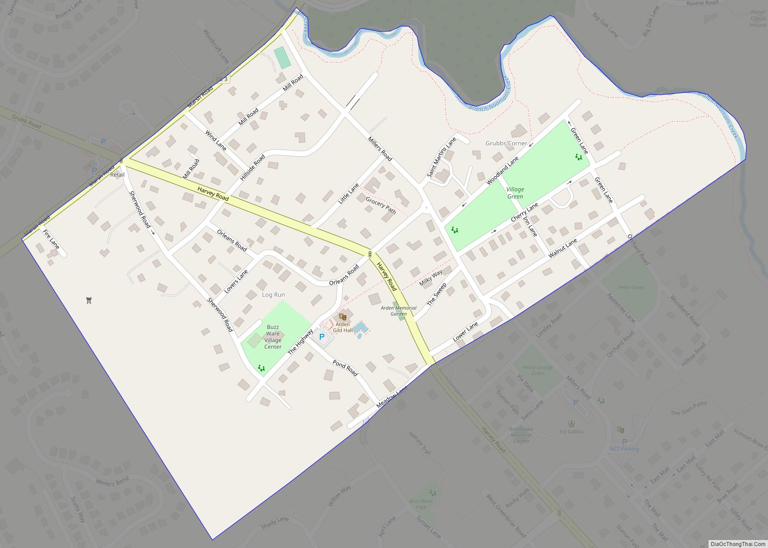
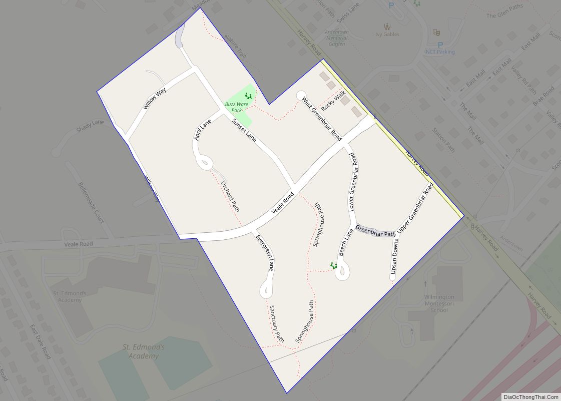
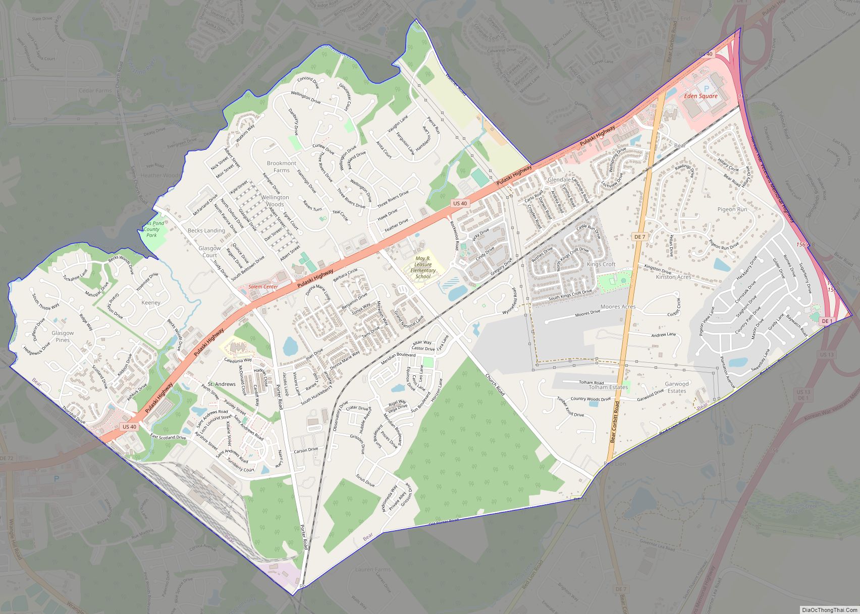
Delaware City Road Map
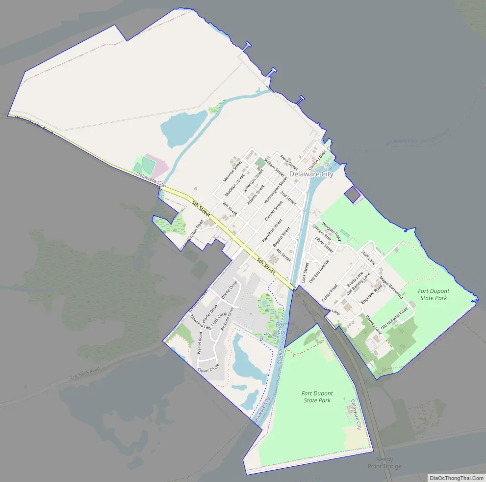
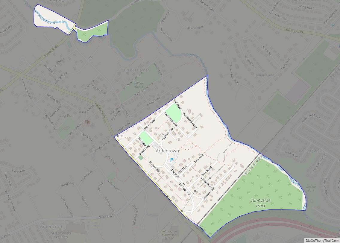
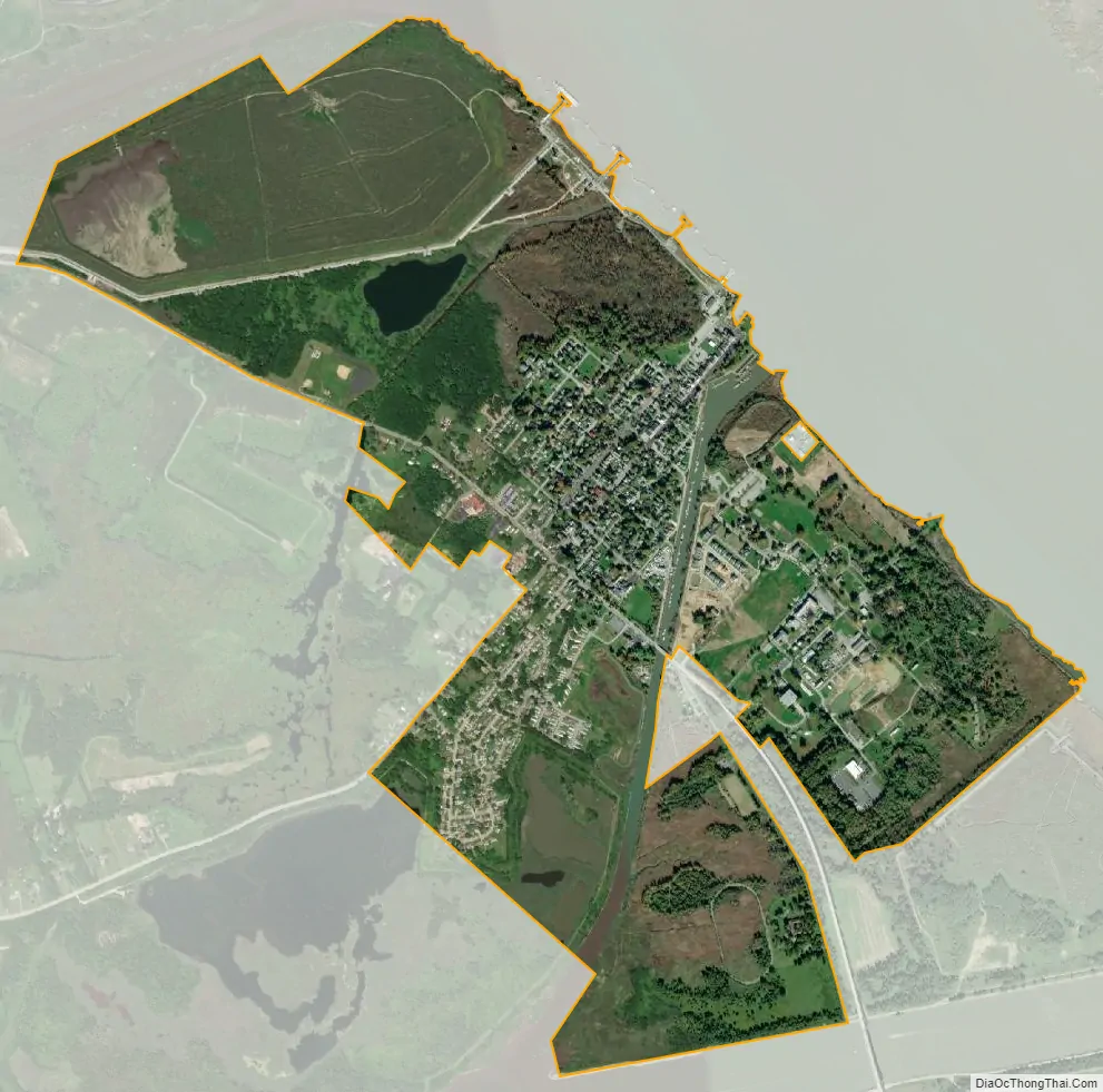
Delaware City city Satellite Map
Geography
Delaware City is located at 39°34′40″N 75°35′20″W / 39.57778°N 75.58889°W / 39.57778; -75.58889 (39.5778901, –75.5888150).
According to the United States Census Bureau, the city has a total area of 1.3 square miles (3.4 km), of which 1.3 square miles (3.4 km) is land and 0.1 square miles (0.26 km) (6.01%) is water.
See also
Map of Delaware State and its subdivision: Map of other states:- Alabama
- Alaska
- Arizona
- Arkansas
- California
- Colorado
- Connecticut
- Delaware
- District of Columbia
- Florida
- Georgia
- Hawaii
- Idaho
- Illinois
- Indiana
- Iowa
- Kansas
- Kentucky
- Louisiana
- Maine
- Maryland
- Massachusetts
- Michigan
- Minnesota
- Mississippi
- Missouri
- Montana
- Nebraska
- Nevada
- New Hampshire
- New Jersey
- New Mexico
- New York
- North Carolina
- North Dakota
- Ohio
- Oklahoma
- Oregon
- Pennsylvania
- Rhode Island
- South Carolina
- South Dakota
- Tennessee
- Texas
- Utah
- Vermont
- Virginia
- Washington
- West Virginia
- Wisconsin
- Wyoming