Edgemoor is a census-designated place in New Castle County, Delaware, United States. The population was 5,677 at the 2010 census.
| Name: | Edgemoor CDP |
|---|---|
| LSAD Code: | 57 |
| LSAD Description: | CDP (suffix) |
| State: | Delaware |
| County: | New Castle County |
| Elevation: | 30 ft (9 m) |
| Total Area: | 2.18 sq mi (5.64 km²) |
| Land Area: | 1.92 sq mi (4.97 km²) |
| Water Area: | 0.26 sq mi (0.67 km²) |
| Total Population: | 6,635 |
| Population Density: | 3,459.33/sq mi (1,335.45/km²) |
| ZIP code: | 19802, 19809, 19810 |
| Area code: | 302 |
| FIPS code: | 1023240 |
| GNISfeature ID: | 213930 |
Online Interactive Map
Click on ![]() to view map in "full screen" mode.
to view map in "full screen" mode.
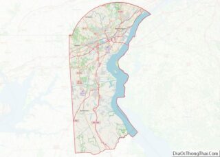
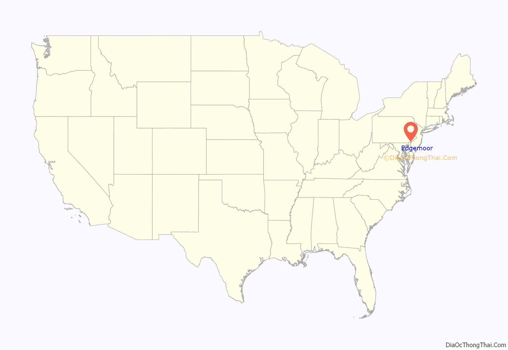
Edgemoor location map. Where is Edgemoor CDP?
History
Edgemoor was originally developed as a village by the Edgemoor Iron Company in 1871.
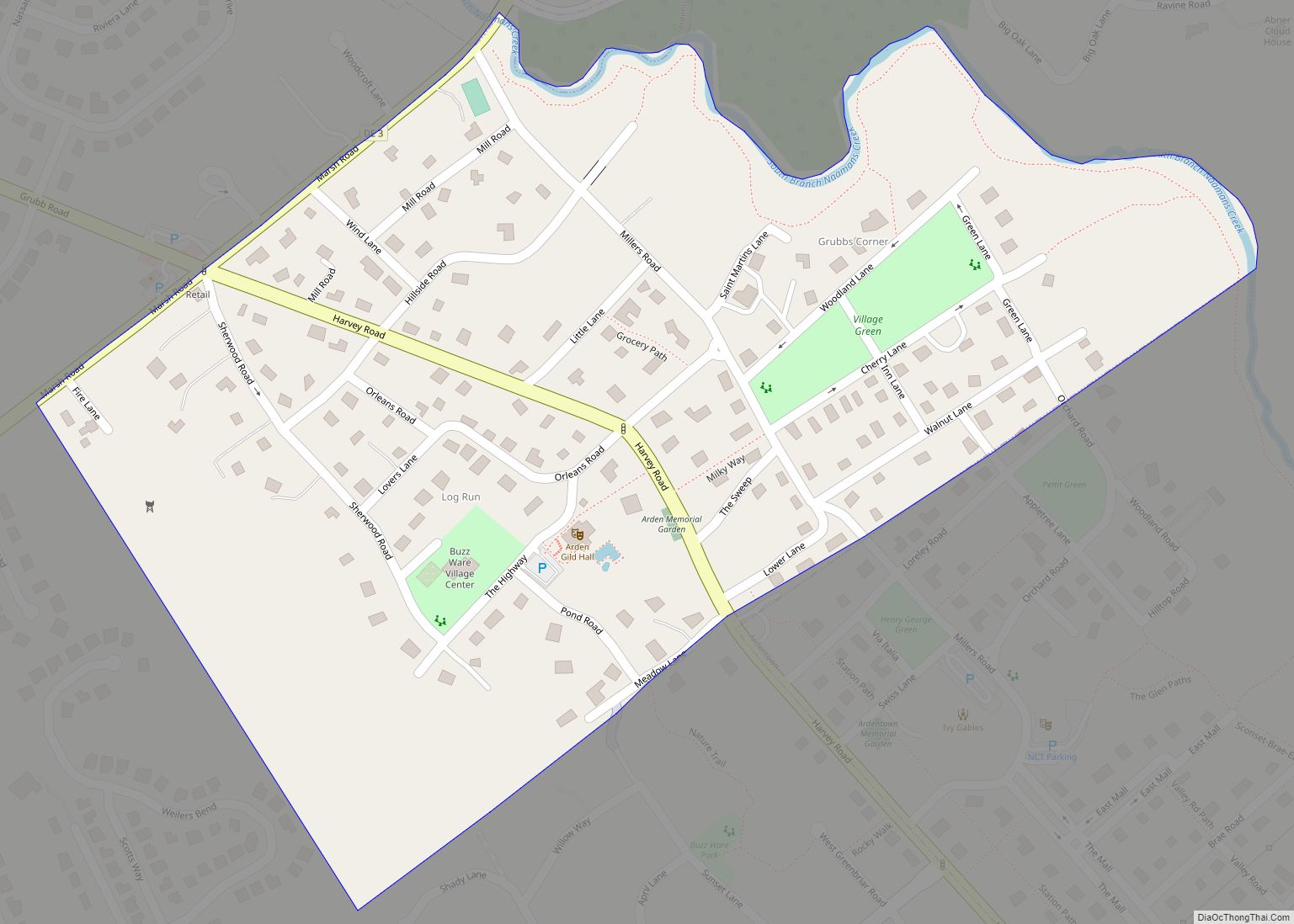
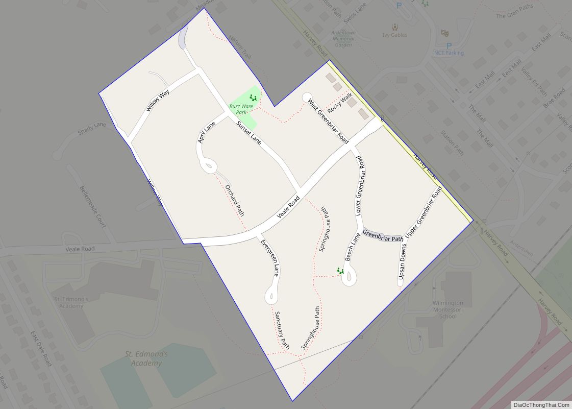
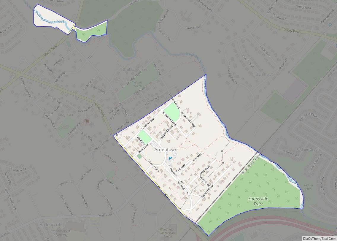
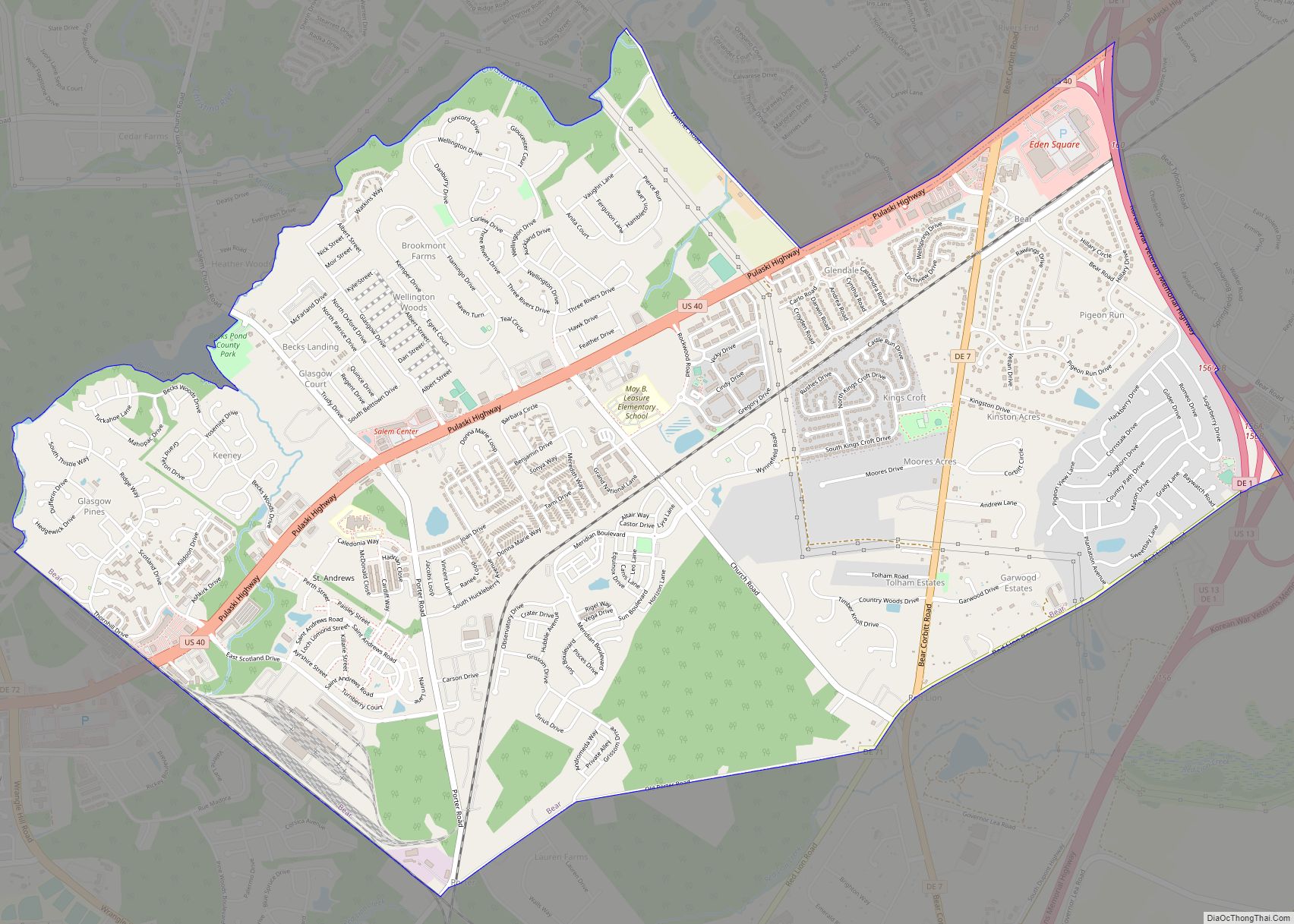
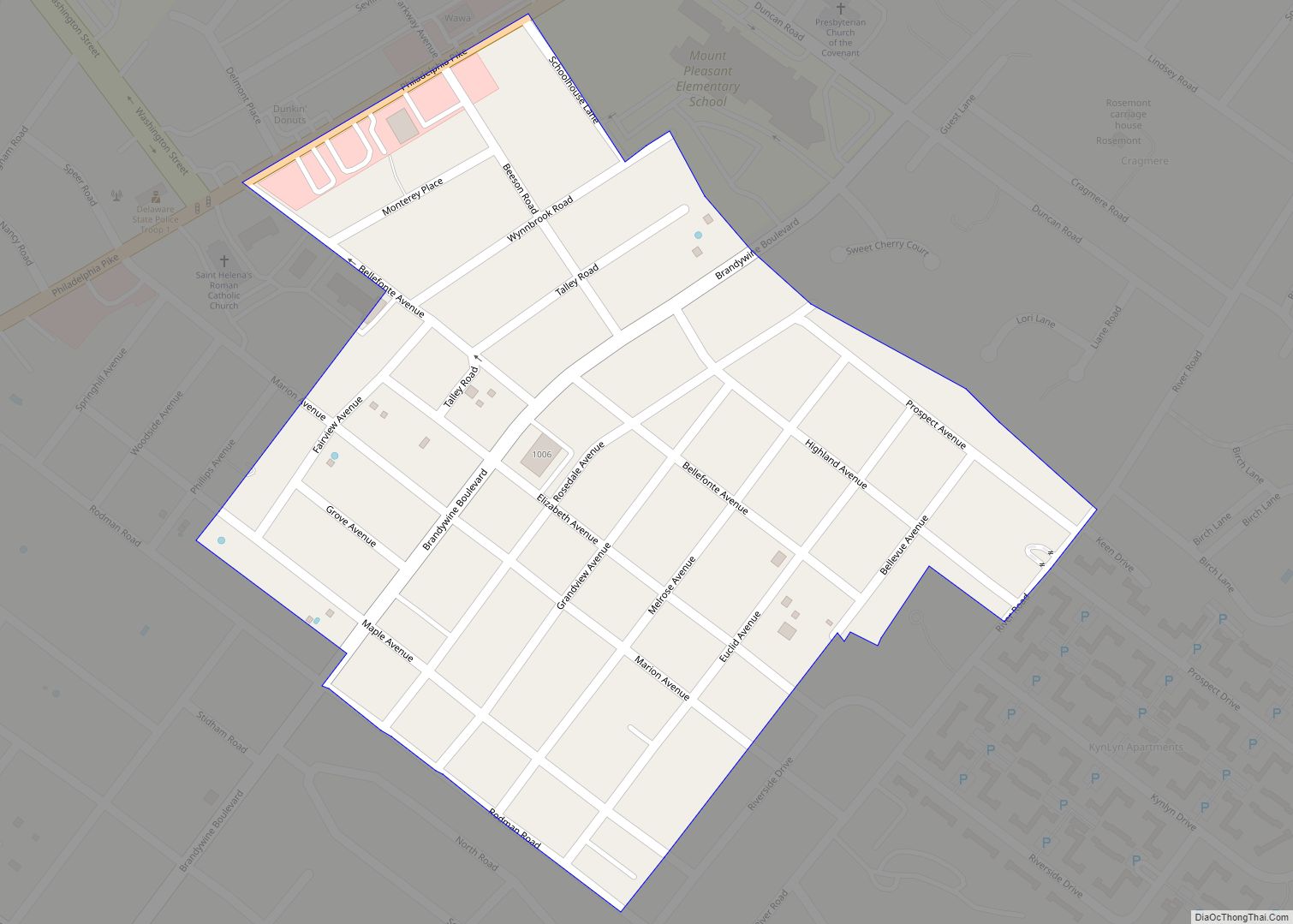
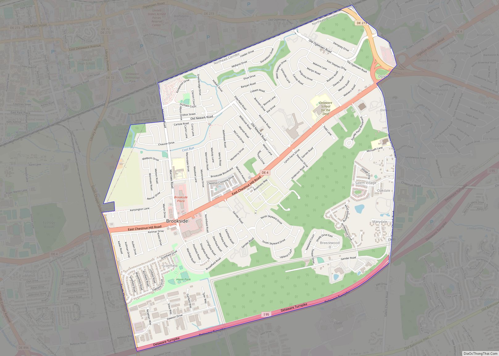
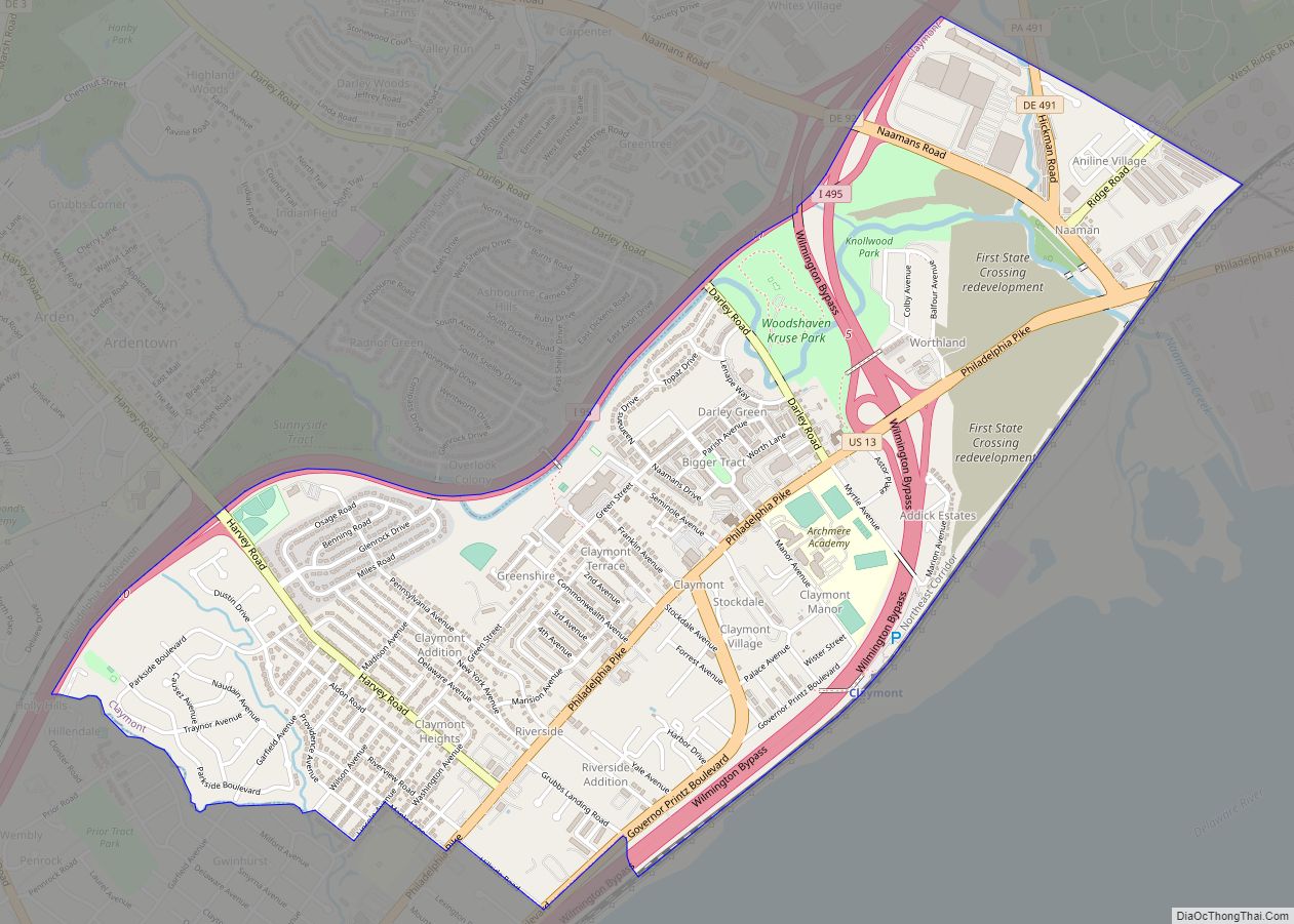
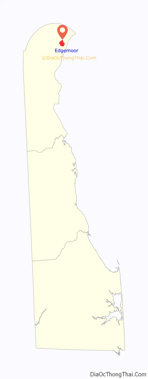
Edgemoor Road Map
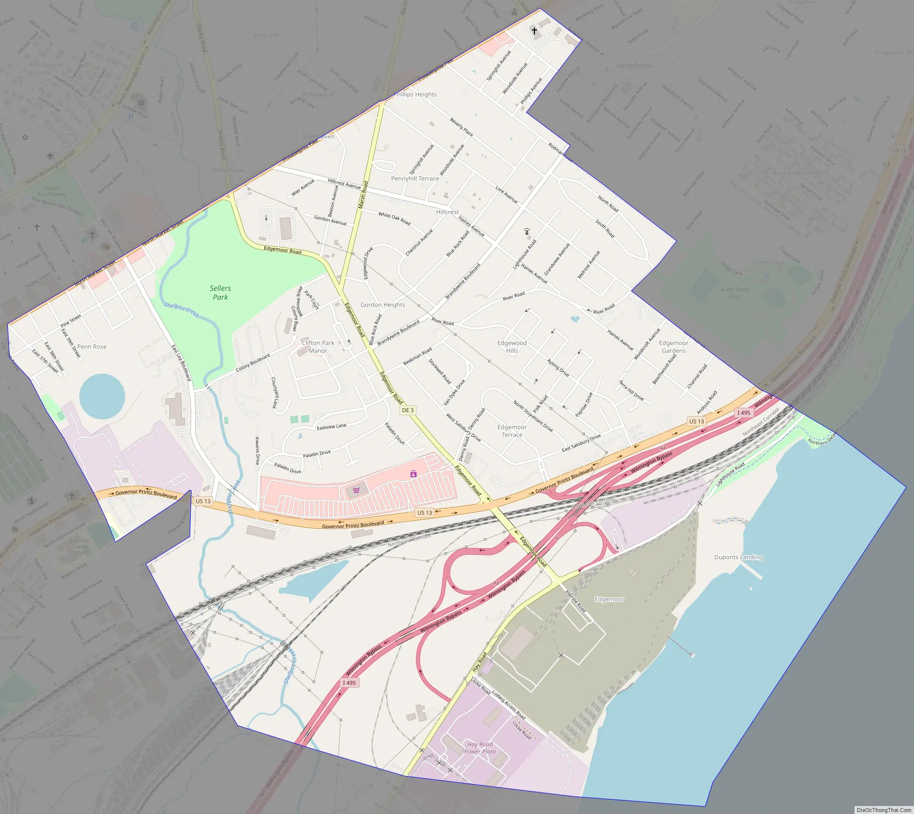
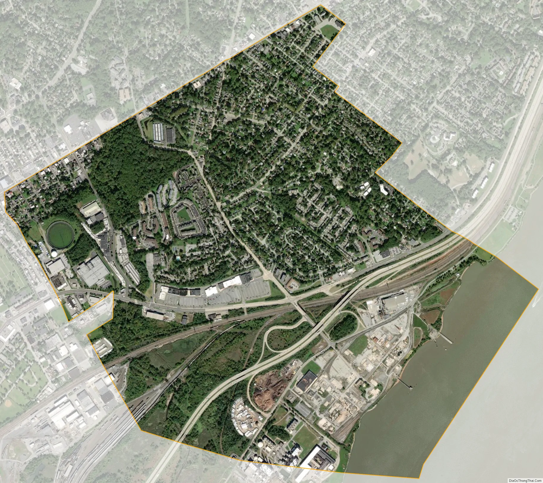
Edgemoor city Satellite Map
Geography
Edgemoor is located at 39°45′00″N 75°29′59″W / 39.75000°N 75.49972°W / 39.75000; -75.49972 (39.7501139, -75.4996414).
According to the United States Census Bureau, the CDP has a total area of 1.8 square miles (4.7 km), of which 1.8 square miles (4.7 km) is land and 0.55% is water.
See also
Map of Delaware State and its subdivision: Map of other states:- Alabama
- Alaska
- Arizona
- Arkansas
- California
- Colorado
- Connecticut
- Delaware
- District of Columbia
- Florida
- Georgia
- Hawaii
- Idaho
- Illinois
- Indiana
- Iowa
- Kansas
- Kentucky
- Louisiana
- Maine
- Maryland
- Massachusetts
- Michigan
- Minnesota
- Mississippi
- Missouri
- Montana
- Nebraska
- Nevada
- New Hampshire
- New Jersey
- New Mexico
- New York
- North Carolina
- North Dakota
- Ohio
- Oklahoma
- Oregon
- Pennsylvania
- Rhode Island
- South Carolina
- South Dakota
- Tennessee
- Texas
- Utah
- Vermont
- Virginia
- Washington
- West Virginia
- Wisconsin
- Wyoming