Greenville is a bedroom community in New Castle County, Delaware, United States, and a suburb of Wilmington. The population was 2,326 at the 2010 census. For statistical purposes, the United States Census Bureau has defined Greenville as a census-designated place (CDP). The community is also home to the private residence of Joe Biden, the current president of the United States, and many Du Pont family descendants.
| Name: | Greenville CDP |
|---|---|
| LSAD Code: | 57 |
| LSAD Description: | CDP (suffix) |
| State: | Delaware |
| County: | New Castle County |
| Elevation: | 256 ft (78 m) |
| Total Area: | 2.81 sq mi (7.29 km²) |
| Land Area: | 2.80 sq mi (7.24 km²) |
| Water Area: | 0.02 sq mi (0.05 km²) |
| Total Population: | 3,104 |
| Population Density: | 1,110.16/sq mi (428.69/km²) |
| ZIP code: | 19807, 19884 |
| Area code: | 302 |
| FIPS code: | 1031430 |
| GNISfeature ID: | 214034 |
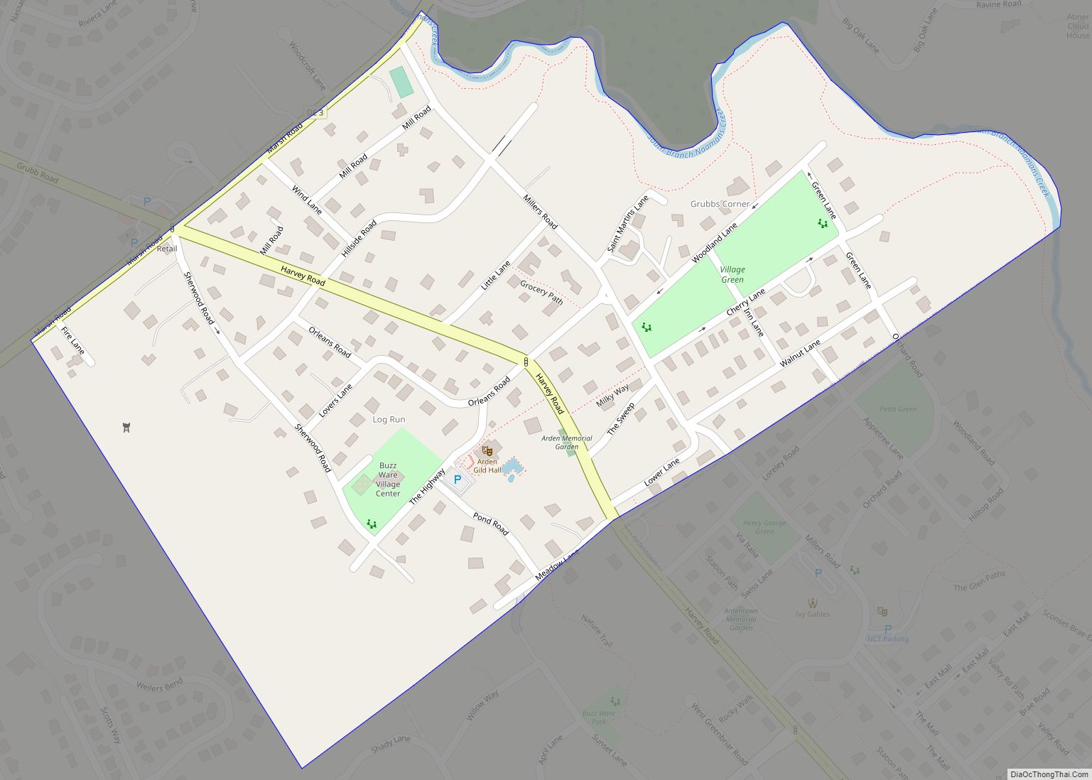
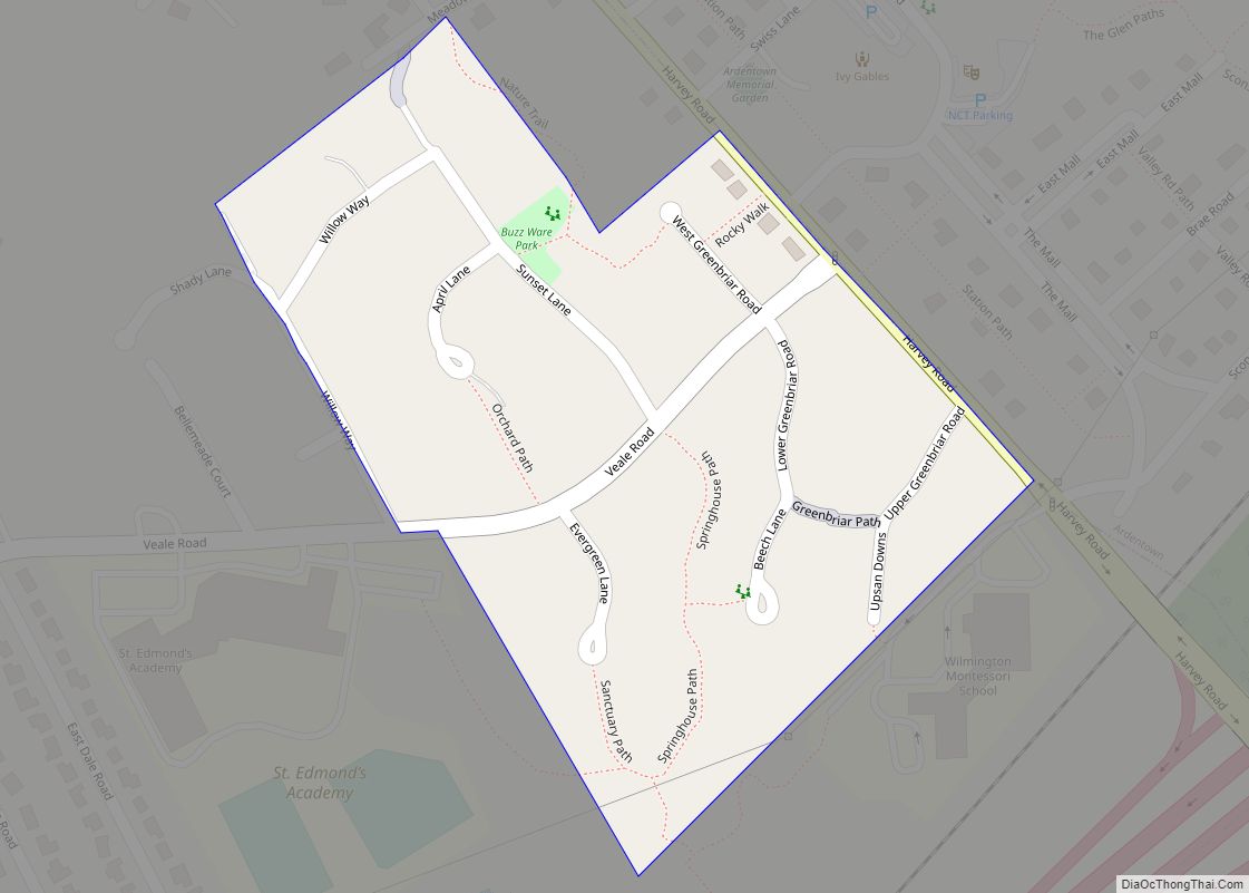
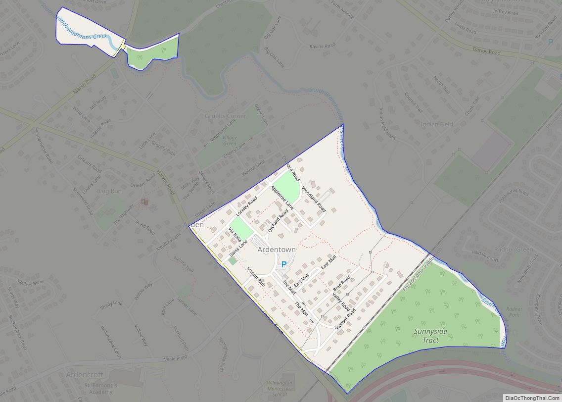
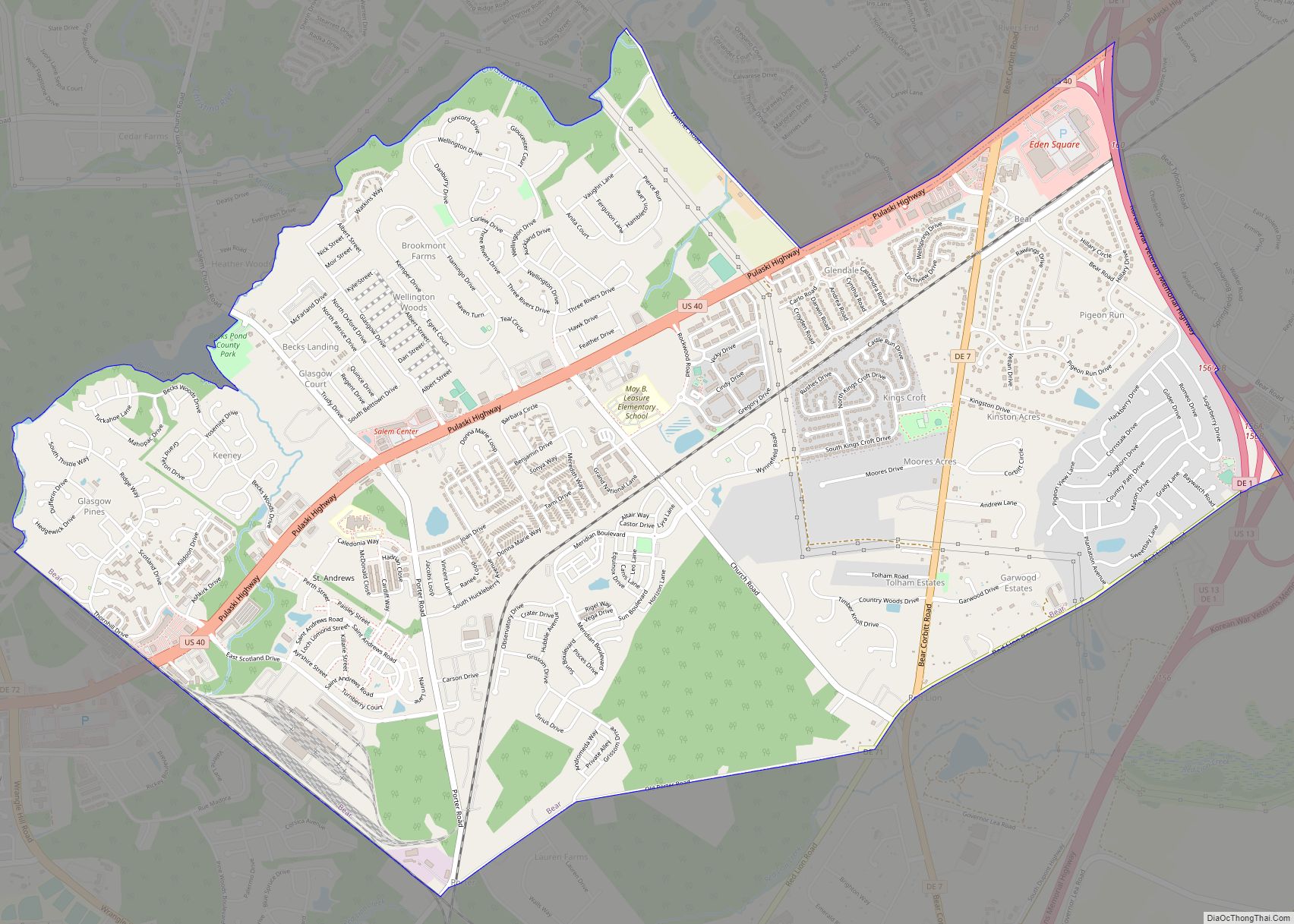
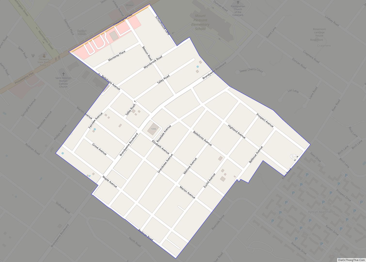
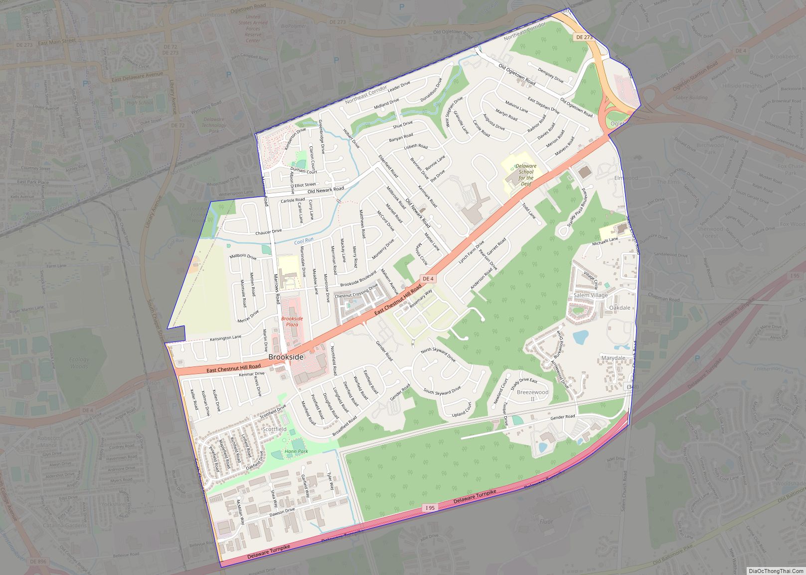
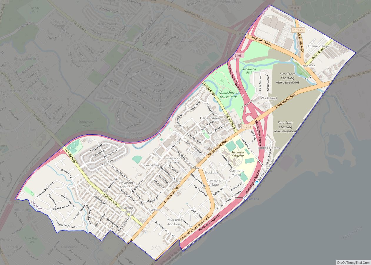
Online Interactive Map
Click on ![]() to view map in "full screen" mode.
to view map in "full screen" mode.
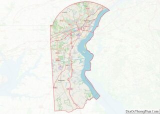
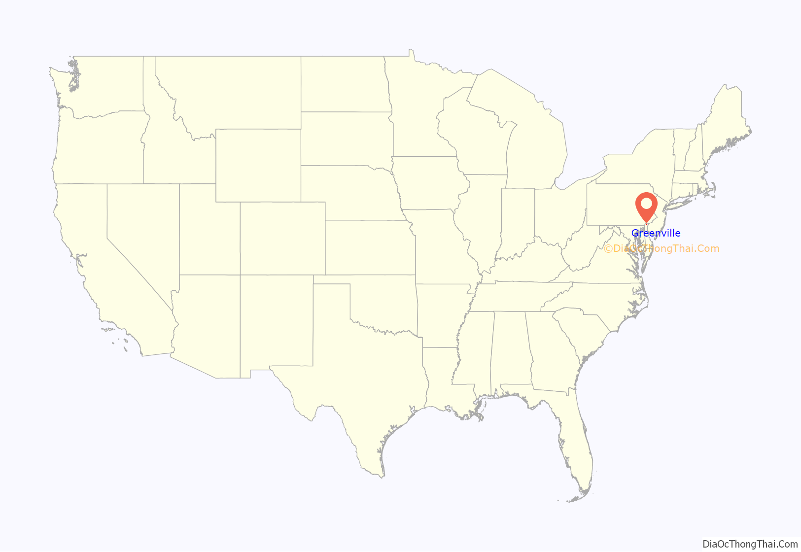
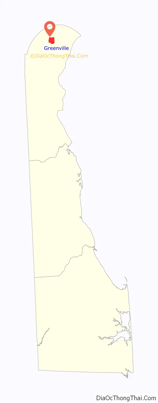
Greenville location map. Where is Greenville CDP?
Greenville Road Map
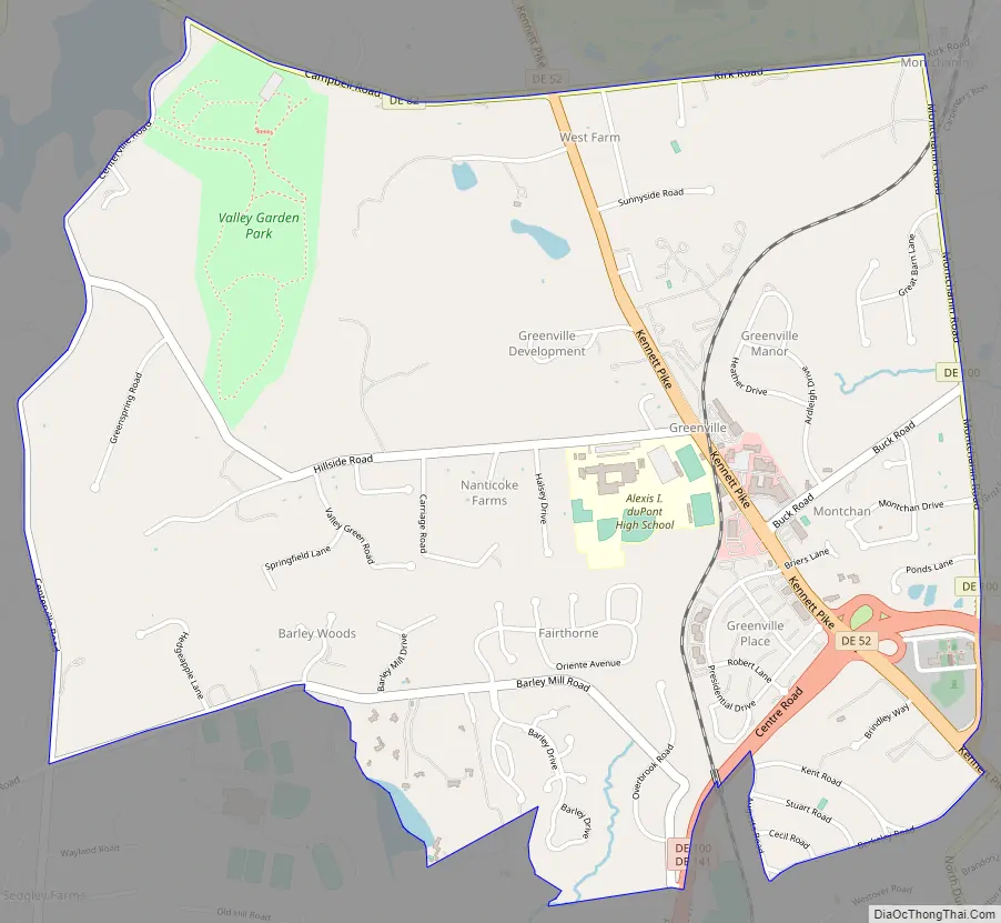
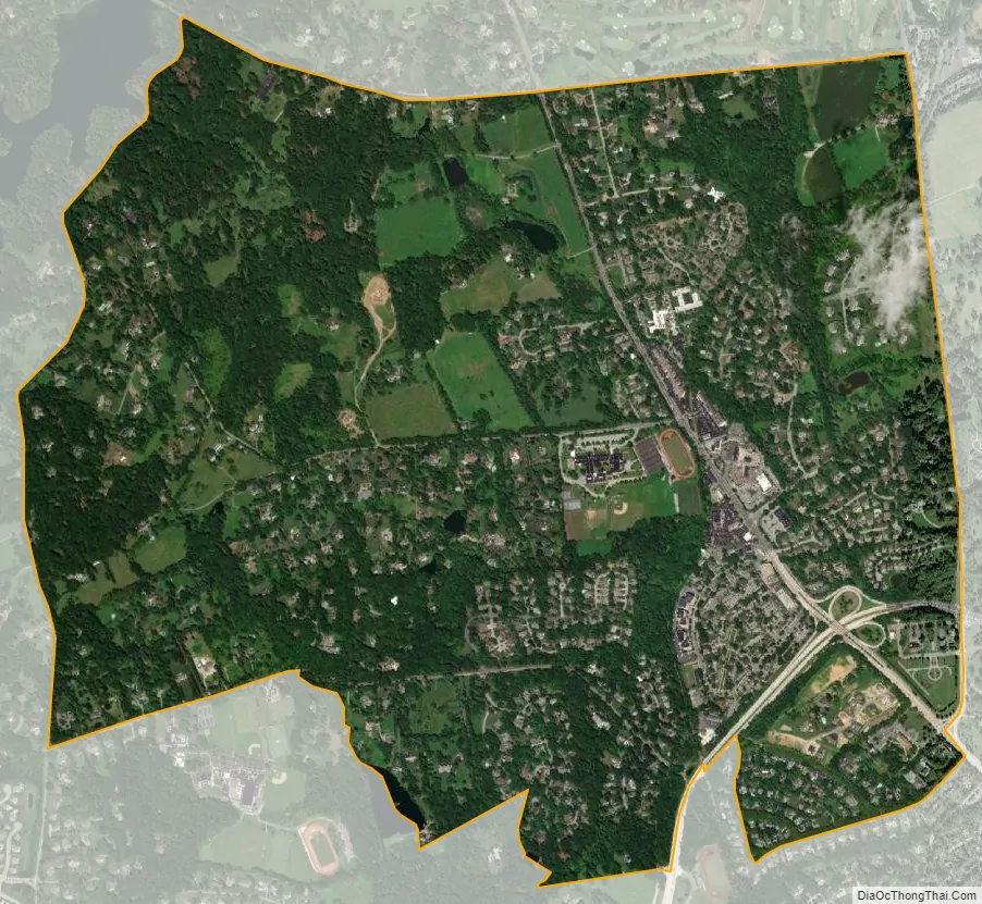
Greenville city Satellite Map
Geography
According to the United States Census Bureau, the CDP has a total area of 2.74 square miles (7.1 km), of which 2.72 square miles (7.0 km) is land and 0.02 square miles (0.052 km) (0.73%) is water. The Census Bureau definition of the area may not precisely correspond to the local understanding of the community.
See also
Map of Delaware State and its subdivision: Map of other states:- Alabama
- Alaska
- Arizona
- Arkansas
- California
- Colorado
- Connecticut
- Delaware
- District of Columbia
- Florida
- Georgia
- Hawaii
- Idaho
- Illinois
- Indiana
- Iowa
- Kansas
- Kentucky
- Louisiana
- Maine
- Maryland
- Massachusetts
- Michigan
- Minnesota
- Mississippi
- Missouri
- Montana
- Nebraska
- Nevada
- New Hampshire
- New Jersey
- New Mexico
- New York
- North Carolina
- North Dakota
- Ohio
- Oklahoma
- Oregon
- Pennsylvania
- Rhode Island
- South Carolina
- South Dakota
- Tennessee
- Texas
- Utah
- Vermont
- Virginia
- Washington
- West Virginia
- Wisconsin
- Wyoming