Hockessin (/ˈhoʊkɛsɪn/) is a census-designated place (CDP) in New Castle County, Delaware, United States. The population was 13,478 at the 2020 Census.
| Name: | Hockessin CDP |
|---|---|
| LSAD Code: | 57 |
| LSAD Description: | CDP (suffix) |
| State: | Delaware |
| County: | New Castle County |
| Elevation: | 259 ft (79 m) |
| Total Area: | 10.05 sq mi (26.02 km²) |
| Land Area: | 10.04 sq mi (26.01 km²) |
| Water Area: | 0.01 sq mi (0.02 km²) |
| Total Population: | 13,478 |
| Population Density: | 1,342.30/sq mi (518.26/km²) |
| ZIP code: | 19707 |
| Area code: | 302 |
| FIPS code: | 1035850 |
| GNISfeature ID: | 214099 |
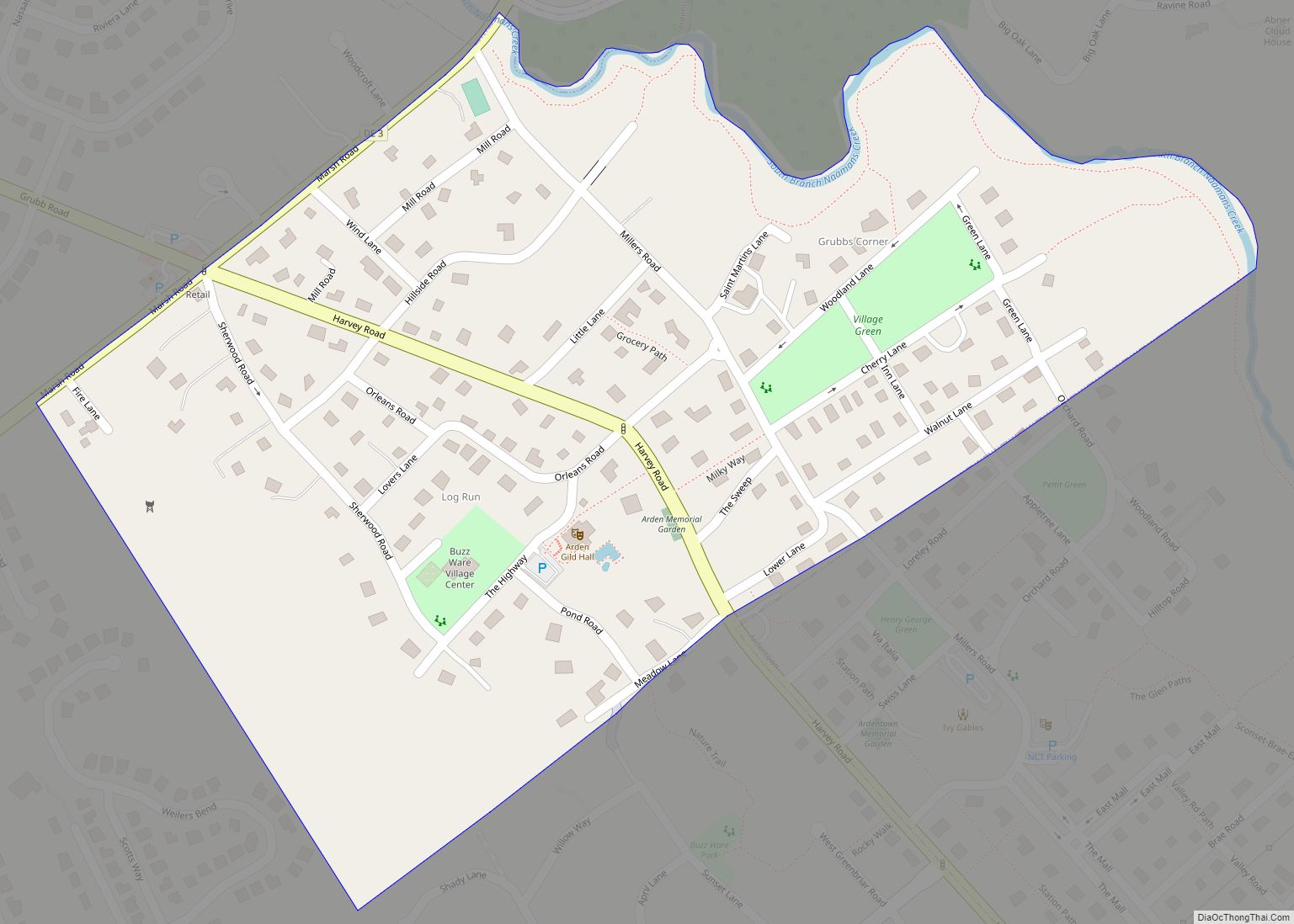
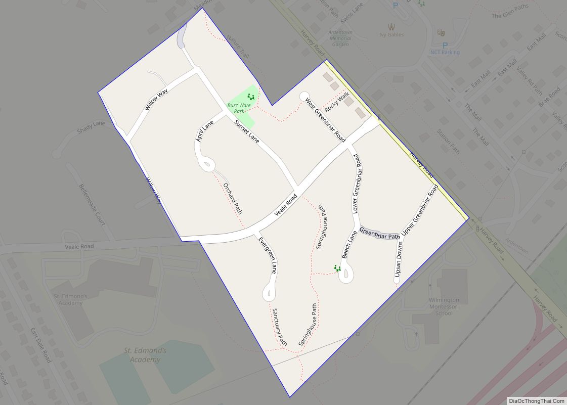
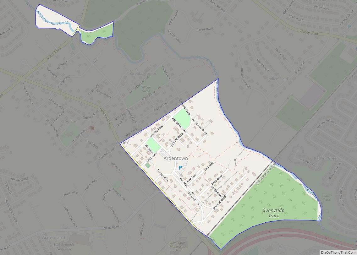
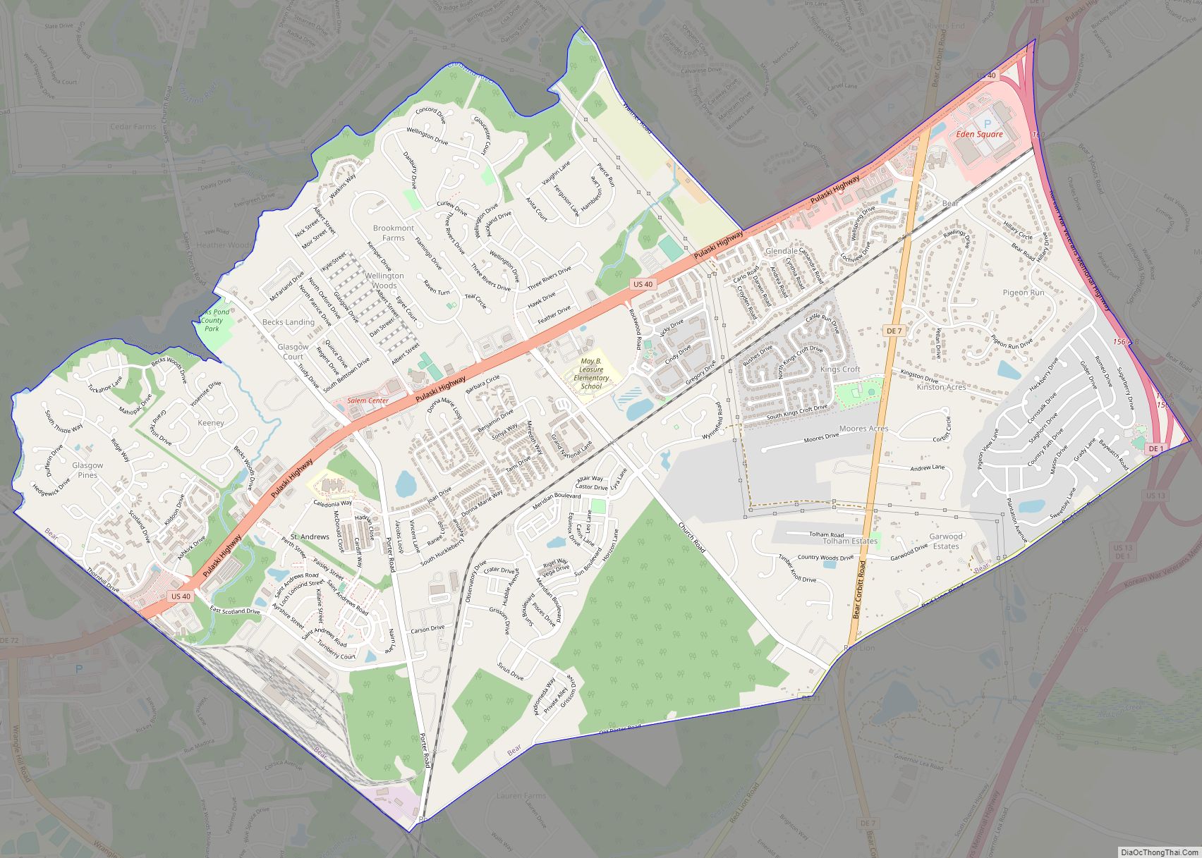
Online Interactive Map
Click on ![]() to view map in "full screen" mode.
to view map in "full screen" mode.
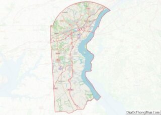
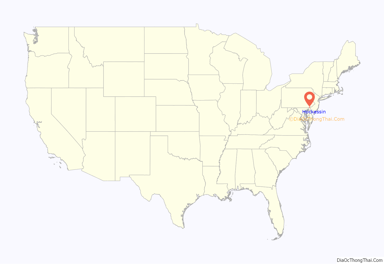
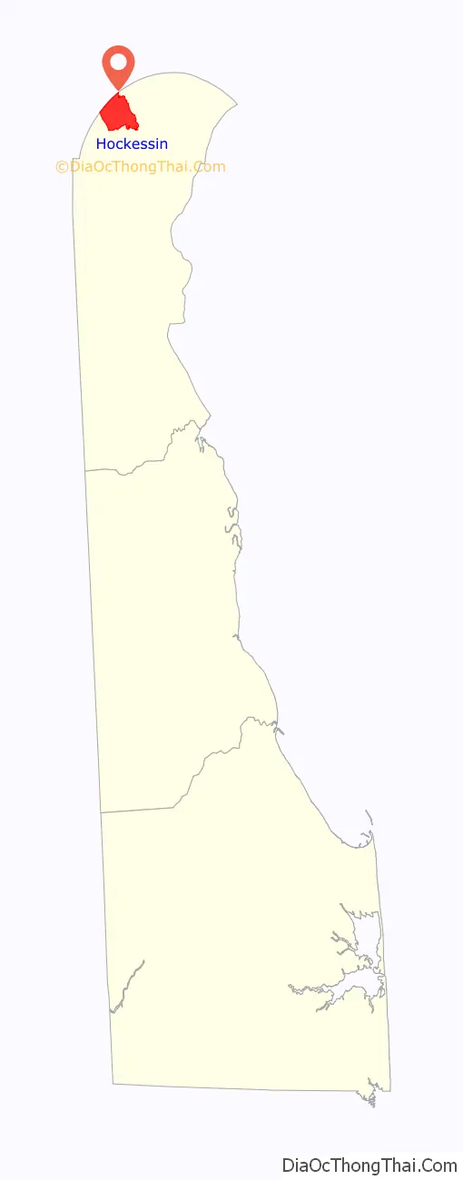
Hockessin location map. Where is Hockessin CDP?
History
Hockessin came into existence as a little village in 1688 when several families settled in the area. The village was named after the Lenape word hokes, meaning good bark or good bark hill. There is a second and more likely origin for the name. While the word Hockessin does look like a Native American word, the name Hockessin did not show up on any early maps until many years after the Hockessin Meeting House was built and what is now the Village of Hockessin was never settled by the Native Americans, while they did have a hunting camp nearby. There was no town name Hockessin and the area was referred to as Mill Creek Hundred. The actual name is believed to be derived from one of the first settled properties which was named Occasion and settled by William Cox in 1726 and also the location of the first Quaker meetings in the area before Hockessin Meeting House was built a few years later. The earliest known use of the word Occasion was in 1734 in a property deed for this property. And the road to the Hockessin Meeting House, currently Old Wilmington Road, was written as Ockession Road on a map in 1808. The first Roman Catholic church in Delaware was located in Hockessin. Missionary priests from Maryland established the Coffee Run Mission in 1790.
The A. Armstrong Farm, Coffee Run Mission Site, Hockessin Friends Meetinghouse, T. Pierson Farm, Public School No. 29, Springer Farm, and Wilmington and Western Railroad are listed on the National Register of Historic Places in 1978. More recently added sites to the National Register of Historic Places include: Tweed’s Tavern, the home of Negro league baseball player James “Nip” Winters, Colored School #107C, St. John the Evangelist Church, the Daniel Nichols house, and the Cox/Phillips/Mitchell Agricultural Complex.
Hockessin Road Map
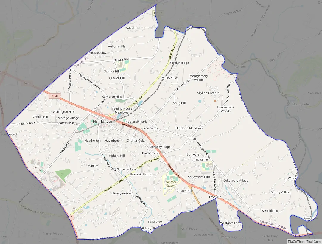
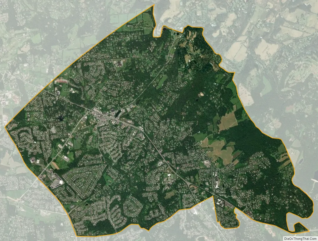
Hockessin city Satellite Map
Geography
The community is near the northwestern border of Delaware, within 1.2 mi (1.9 km) of the Pennsylvania border on the east bank of Mill Creek.
According to the United States Census Bureau, the CDP has a total area of 10.0 square miles (26 km), of which 10.0 square miles (26 km) is land and 0.10% is water.
See also
Map of Delaware State and its subdivision: Map of other states:- Alabama
- Alaska
- Arizona
- Arkansas
- California
- Colorado
- Connecticut
- Delaware
- District of Columbia
- Florida
- Georgia
- Hawaii
- Idaho
- Illinois
- Indiana
- Iowa
- Kansas
- Kentucky
- Louisiana
- Maine
- Maryland
- Massachusetts
- Michigan
- Minnesota
- Mississippi
- Missouri
- Montana
- Nebraska
- Nevada
- New Hampshire
- New Jersey
- New Mexico
- New York
- North Carolina
- North Dakota
- Ohio
- Oklahoma
- Oregon
- Pennsylvania
- Rhode Island
- South Carolina
- South Dakota
- Tennessee
- Texas
- Utah
- Vermont
- Virginia
- Washington
- West Virginia
- Wisconsin
- Wyoming