Newport is a town in New Castle County, Delaware, United States. It is on the Christina River. It is best known for being the home of colonial inventor Oliver Evans. The population was 1,055 at the 2010 census. Four limited access highways, I-95, I-295, I-495, and Delaware Route 141 intersect within one mile (1.6 km) of the town.
| Name: | Newport town |
|---|---|
| LSAD Code: | 43 |
| LSAD Description: | town (suffix) |
| State: | Delaware |
| County: | New Castle County |
| Incorporated: | 1873 |
| Elevation: | 33 ft (10 m) |
| Total Area: | 0.48 sq mi (1.25 km²) |
| Land Area: | 0.47 sq mi (1.21 km²) |
| Water Area: | 0.01 sq mi (0.04 km²) |
| Total Population: | 910 |
| Population Density: | 1,952.79/sq mi (753.47/km²) |
| ZIP code: | 19804 |
| Area code: | 302 |
| FIPS code: | 1051190 |
| GNISfeature ID: | 214388 |
| Website: | https://newport.delaware.gov |
Online Interactive Map
Click on ![]() to view map in "full screen" mode.
to view map in "full screen" mode.
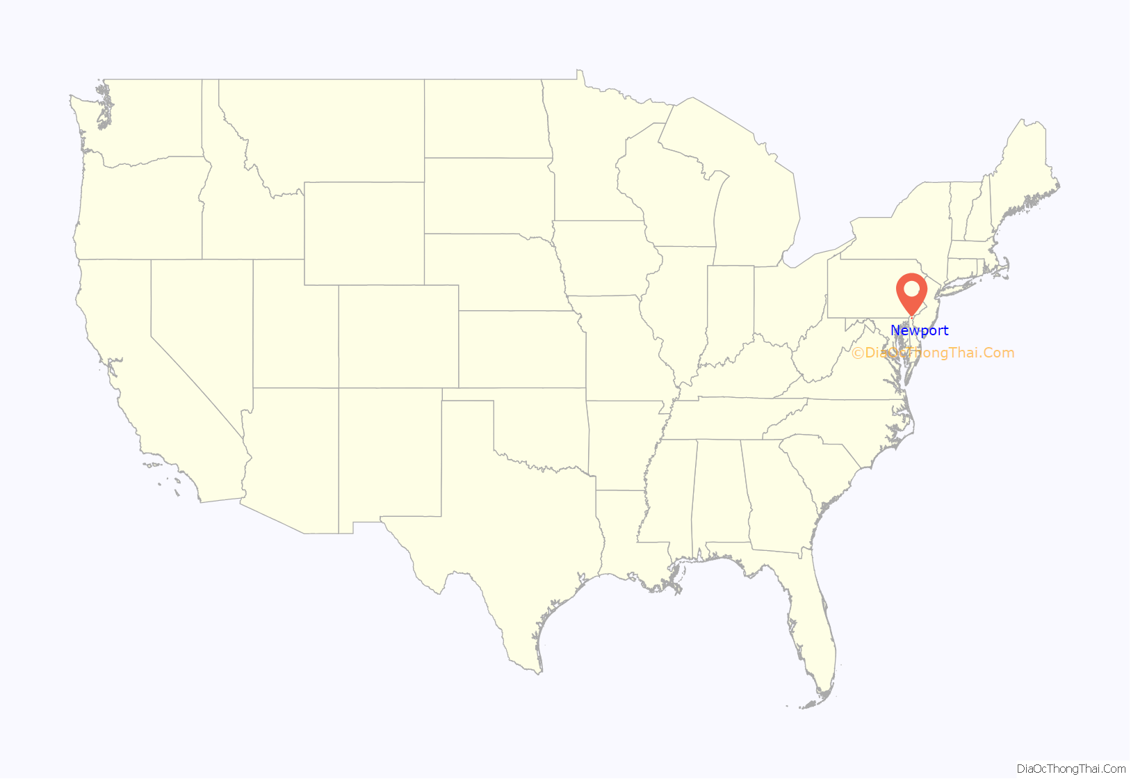
Newport location map. Where is Newport town?
History
Prior to European settlement, the Minquas (or Susquehannock) peoples lived in and around modern-day Newport. This heritage is reflected in the name of the Minquas Fire Company, Newport’s volunteer fire company.
The first land grant for the area were awarded to the Duke of York in 1641. In 1735, longtime area resident and businessman John Justis purchased 100 acres (0.40 km) and several years later the streets of a town called Newport-Ayre were laid out. According to Newport histories, Justis saw the area’s potential as a commercial crossroads and a port.
George Washington passed through during the Revolutionary War during preparations for the Battle of the Brandywine in 1777. The town dropped “Ayre” from its name by the time what would become the U.S. Postal Service opened a branch office there in 1793.
Newport became a center of commerce in the early 19th century, as Conestoga wagons transported farm products from as far away as Lancaster County, Pennsylvania to Newport’s docks on the Christina River, where the supplies were loaded on ships bound for Boston, New York and Philadelphia. The town’s important role in trade ebbed as new roads favored the larger town of Wilmington and the railroad reached the area in 1837.
Newport incorporated in 1873 and became a manufacturing center, boasting chemical works, glue factory and iron works in 1900. Henrik J. Krebs, founder of Krebs Pigments and Chemical Company, built a plant in town in 1908. The facility was purchased by E.I. du Pont de Nemours and Company in 1929 and later sold to it to Ciba-Geigy in 1984.
The Armstrong Lodge No. 26, A.F. & A.M., Collison House, Galloway-Walker House, Killgore Hall, Joseph Killgore House, Newport National Bank, Newport Railroad Station, Joseph Tatnall House, Lewis Weldin House, and Woman’s Club of Newport are listed on the National Register of Historic Places.
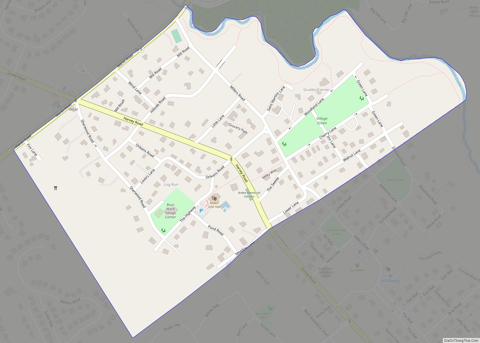
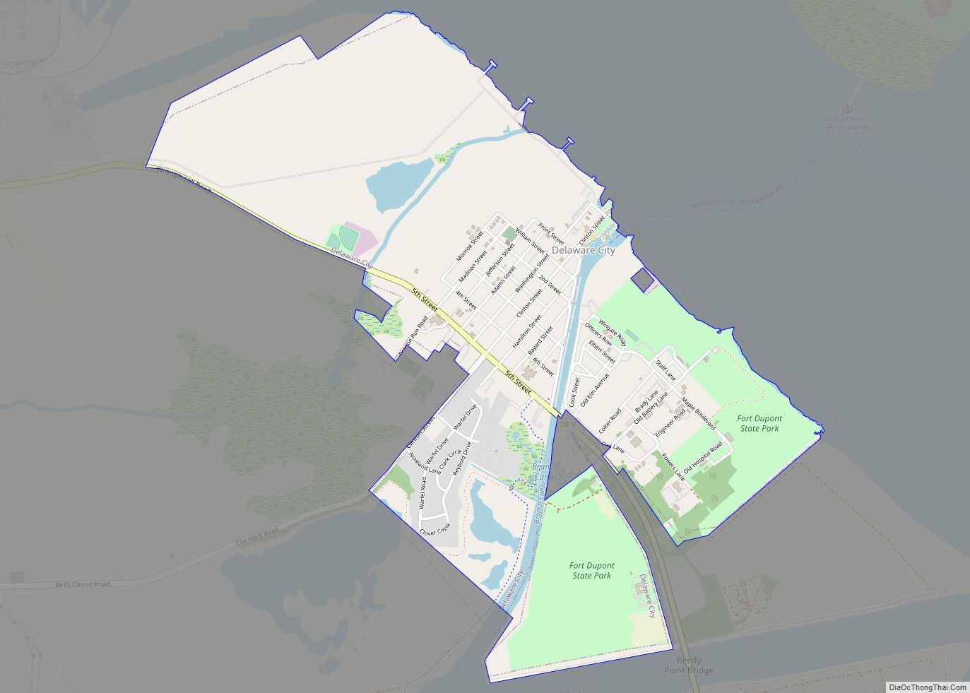
Newport Road Map
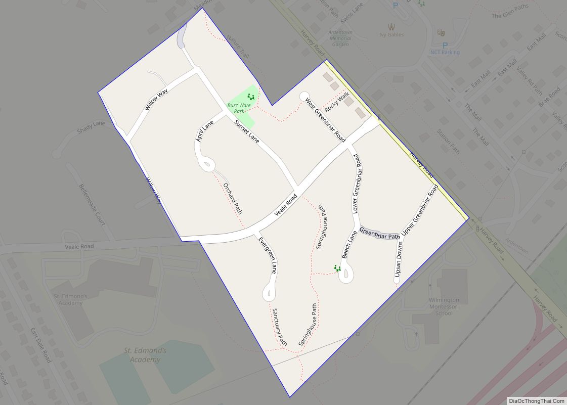
Newport city Satellite Map
Geography
Newport is located at 39°42′49″N 75°36′34″W / 39.71361°N 75.60944°W / 39.71361; -75.60944 (39.7137238, −75.6093709).
According to the United States Census Bureau, the town has an area of 0.4 square miles (1.0 km), of which 2.22% is water.
See also
Map of Delaware State and its subdivision: Map of other states:- Alabama
- Alaska
- Arizona
- Arkansas
- California
- Colorado
- Connecticut
- Delaware
- District of Columbia
- Florida
- Georgia
- Hawaii
- Idaho
- Illinois
- Indiana
- Iowa
- Kansas
- Kentucky
- Louisiana
- Maine
- Maryland
- Massachusetts
- Michigan
- Minnesota
- Mississippi
- Missouri
- Montana
- Nebraska
- Nevada
- New Hampshire
- New Jersey
- New Mexico
- New York
- North Carolina
- North Dakota
- Ohio
- Oklahoma
- Oregon
- Pennsylvania
- Rhode Island
- South Carolina
- South Dakota
- Tennessee
- Texas
- Utah
- Vermont
- Virginia
- Washington
- West Virginia
- Wisconsin
- Wyoming
