Odessa is a town in New Castle County, Delaware, United States. The population was 364 at the 2010 census. Founded as Cantwell’s Bridge in the 18th century, the name was changed in the 19th century, after the Ukrainian port city of the same name. Today a significant part of the town is a historic district list on the National Register of Historic Places.
| Name: | Odessa town |
|---|---|
| LSAD Code: | 43 |
| LSAD Description: | town (suffix) |
| State: | Delaware |
| County: | New Castle County |
| Elevation: | 52 ft (16 m) |
| Total Area: | 0.52 sq mi (1.35 km²) |
| Land Area: | 0.51 sq mi (1.31 km²) |
| Water Area: | 0.01 sq mi (0.04 km²) |
| Total Population: | 366 |
| Population Density: | 721.89/sq mi (278.59/km²) |
| ZIP code: | 19730 |
| Area code: | 302 |
| FIPS code: | 1054050 |
| GNISfeature ID: | 214404 |
| Website: | www.odessa.delaware.gov |
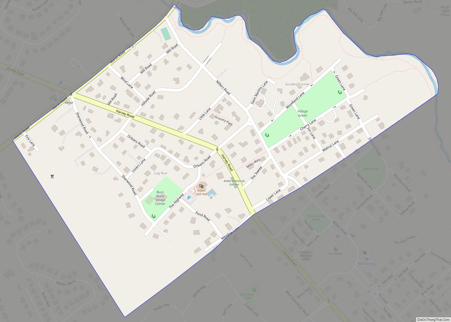
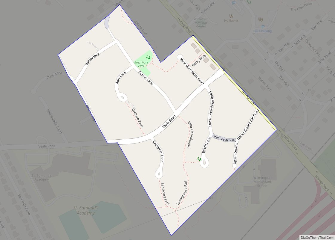
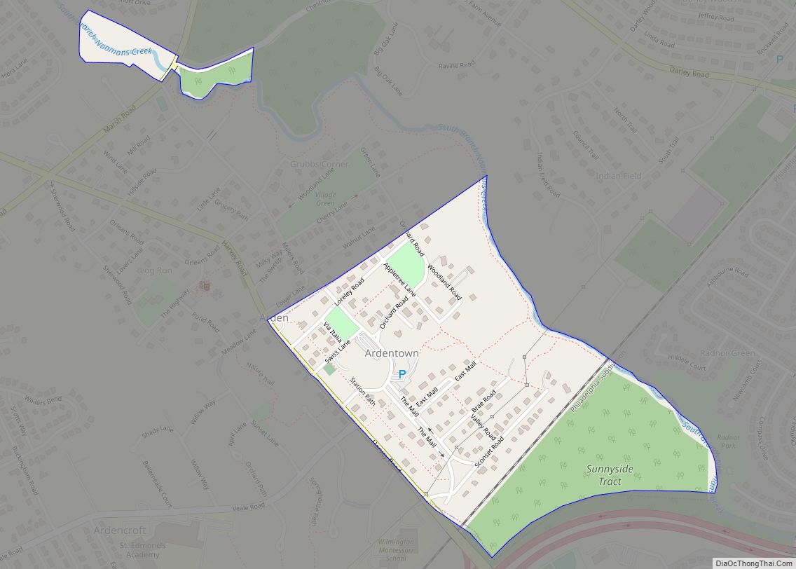
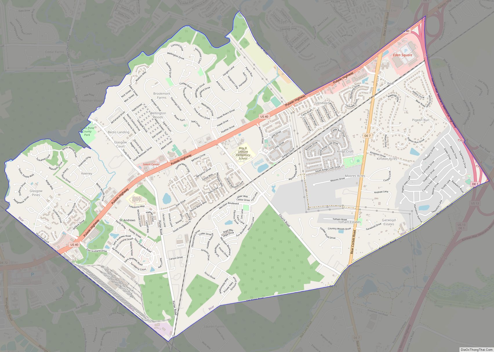
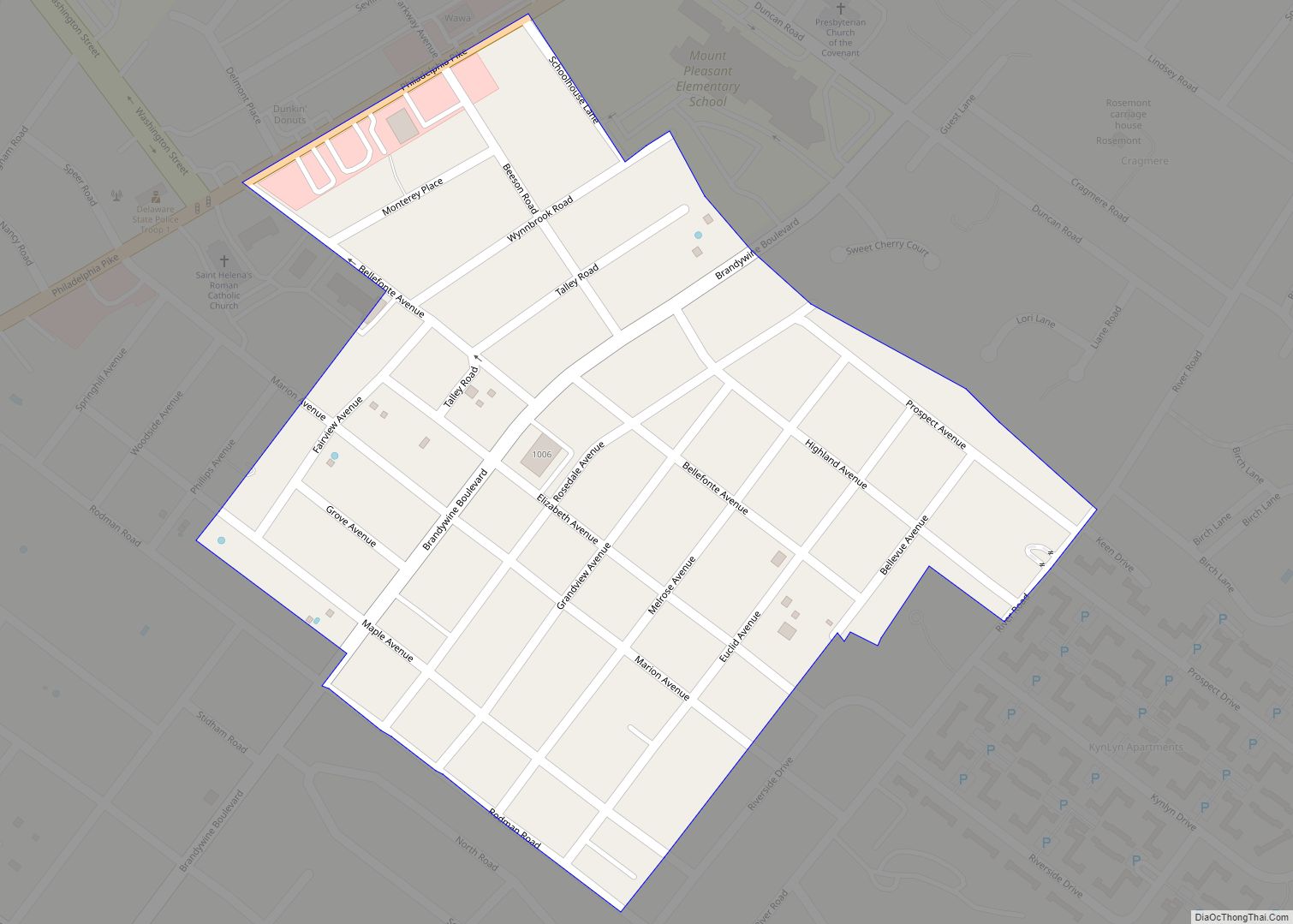
Online Interactive Map
Click on ![]() to view map in "full screen" mode.
to view map in "full screen" mode.
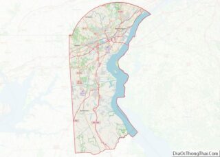
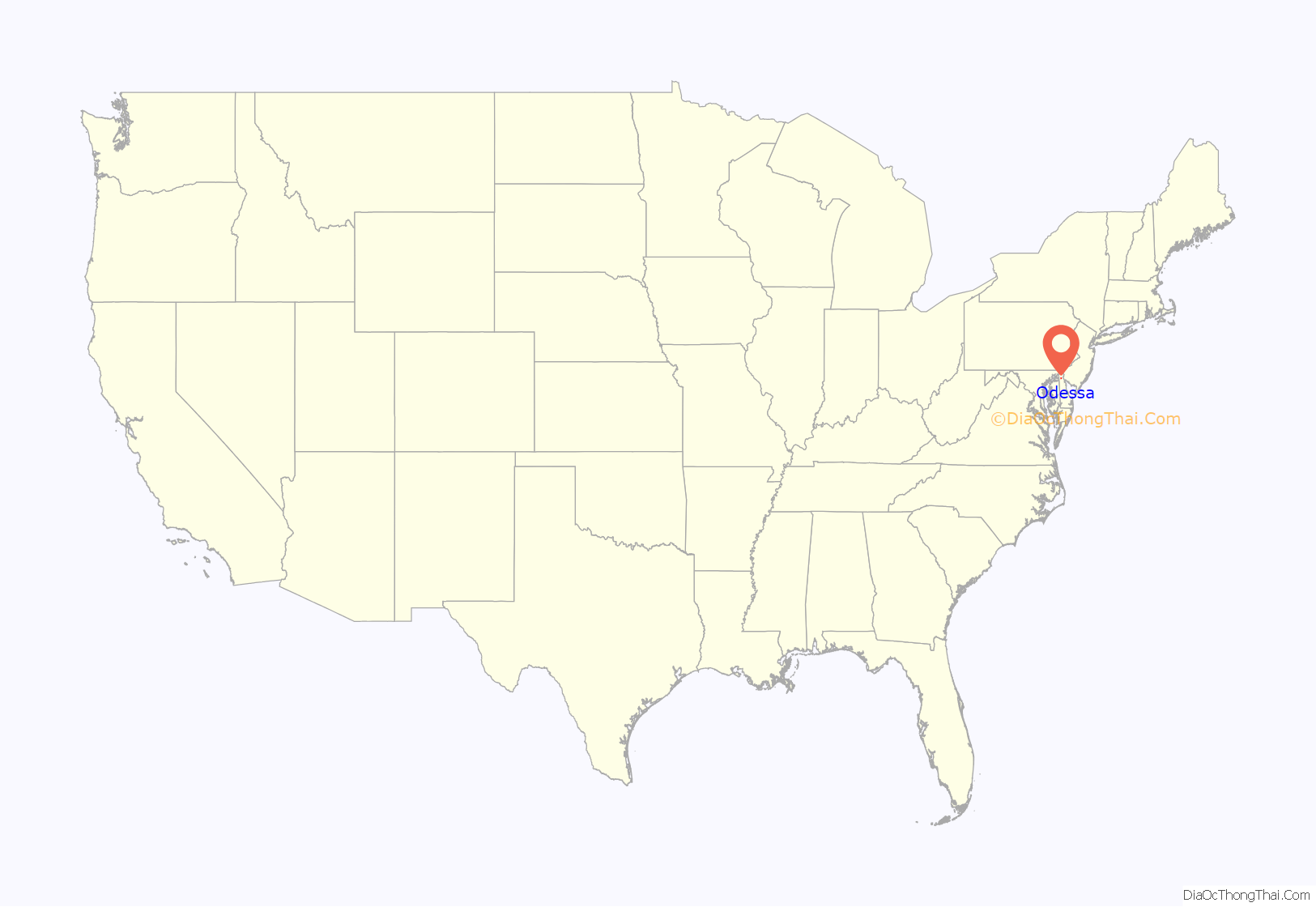
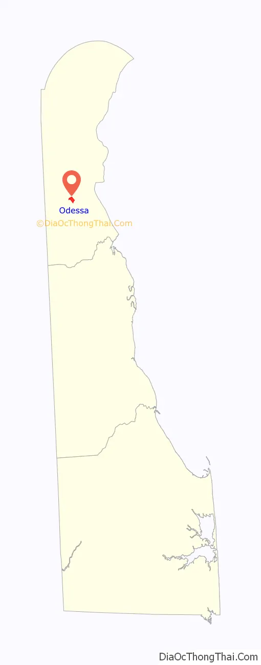
Odessa location map. Where is Odessa town?
History
Odessa was originally known as Cantwell’s Bridge. In 1721, a son of Captain Edmund Cantwell opened a toll bridge over the Appoquinimink Creek at this location. Cantwell’s Bridge became an important port that shipped wheat, corn, tobacco, and produce down the creek to the Delaware Bay, where it traveled to distant ports. The town was also home to tanneries that produced leather goods. Cantwell’s Bridge would continue to prosper as an agricultural port into the 19th century. In 1855, the grain trade collapsed after the Delaware Railroad was built to the west through Middletown. The railroad was originally proposed to be built through Cantwell’s Bridge but the merchants and vessel owners in the town opposed. Following this, the town was renamed to Odessa after the port city of Odesa in Ukraine in an effort to keep the town alive as a major port. The town saw a slight boom during the American Civil War.
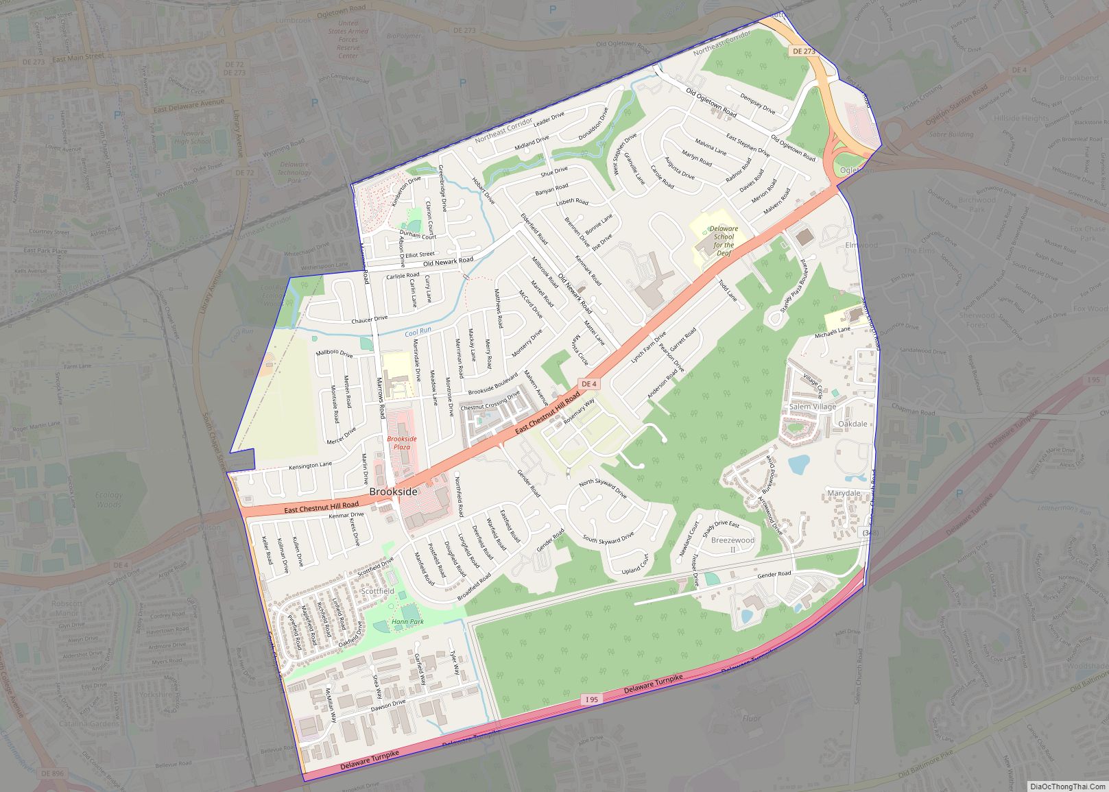
Odessa Road Map
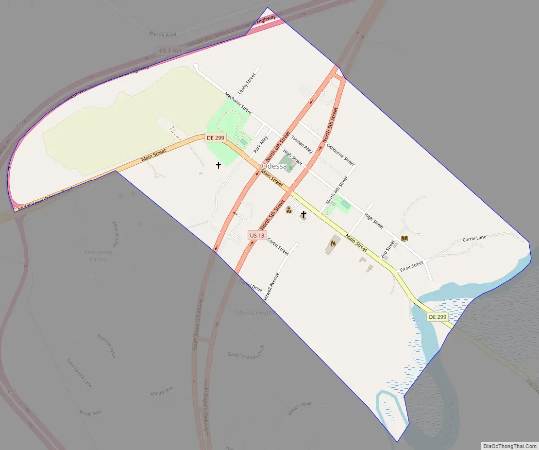
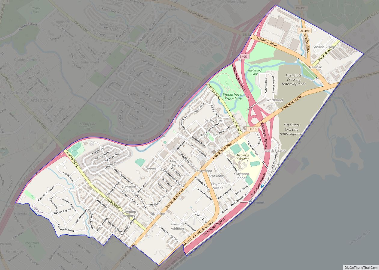
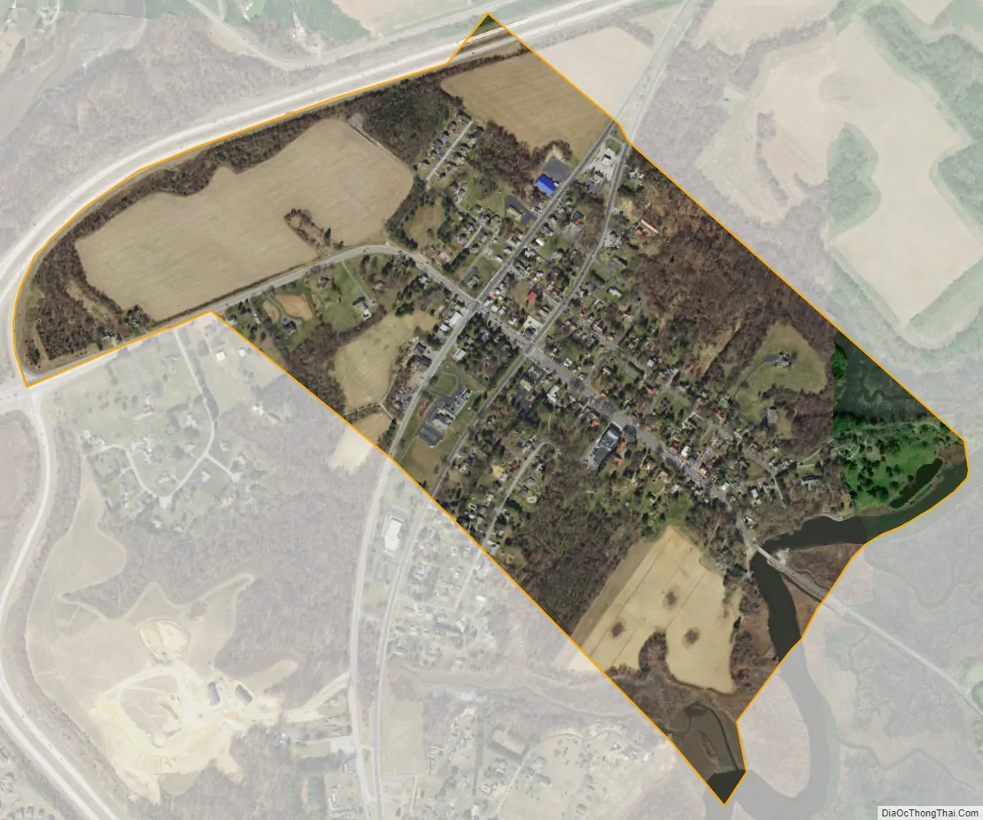
Odessa city Satellite Map
Geography
Odessa is located at 39°27′26″N 75°39′41″W / 39.45722°N 75.66139°W / 39.45722; -75.66139 (39.4573340°N, 75.6613184°W), along the Appoquinimink River.
According to the United States Census Bureau, the town has a total area of 0.4 square miles (1.0 km), of which 0.4 square miles (1.0 km) is land and 2.22% is water.
See also
Map of Delaware State and its subdivision: Map of other states:- Alabama
- Alaska
- Arizona
- Arkansas
- California
- Colorado
- Connecticut
- Delaware
- District of Columbia
- Florida
- Georgia
- Hawaii
- Idaho
- Illinois
- Indiana
- Iowa
- Kansas
- Kentucky
- Louisiana
- Maine
- Maryland
- Massachusetts
- Michigan
- Minnesota
- Mississippi
- Missouri
- Montana
- Nebraska
- Nevada
- New Hampshire
- New Jersey
- New Mexico
- New York
- North Carolina
- North Dakota
- Ohio
- Oklahoma
- Oregon
- Pennsylvania
- Rhode Island
- South Carolina
- South Dakota
- Tennessee
- Texas
- Utah
- Vermont
- Virginia
- Washington
- West Virginia
- Wisconsin
- Wyoming