Townsend is a town in New Castle County, Delaware, United States. The population was 2,049 at the 2010 census, an increase of 492.2% from 2000. The center of population of Delaware is located in Townsend.
| Name: | Townsend town |
|---|---|
| LSAD Code: | 43 |
| LSAD Description: | town (suffix) |
| State: | Delaware |
| County: | New Castle County |
| Incorporated: | 1885 |
| Elevation: | 69 ft (21 m) |
| Total Area: | 1.04 sq mi (2.69 km²) |
| Land Area: | 1.04 sq mi (2.68 km²) |
| Water Area: | 0.00 sq mi (0.00 km²) |
| Total Population: | 2,717 |
| Population Density: | 2,622.59/sq mi (1,012.36/km²) |
| ZIP code: | 19734 |
| Area code: | 302 |
| FIPS code: | 1072510 |
| GNISfeature ID: | 214755 |
| Website: | http://townsend.delaware.gov |
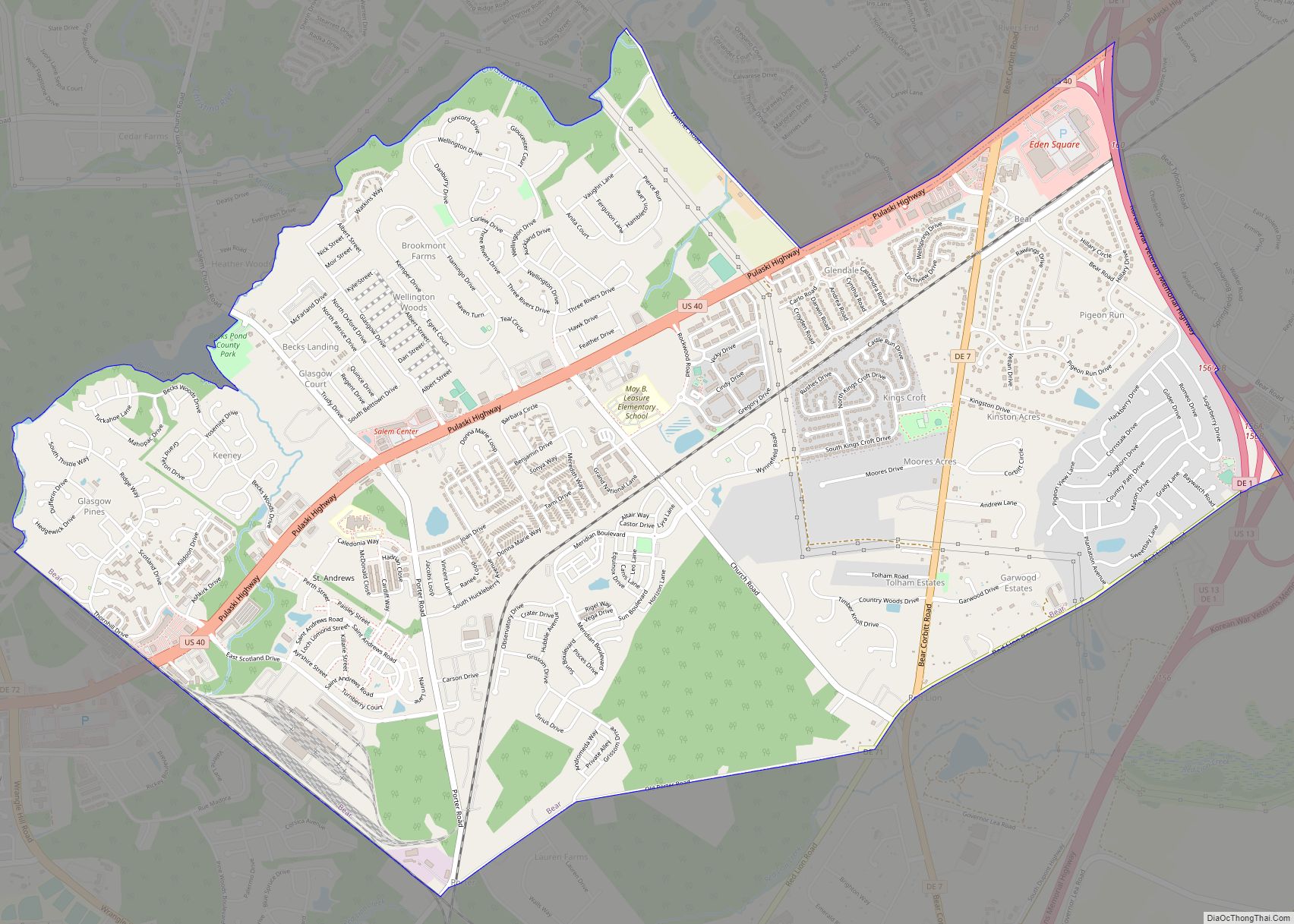
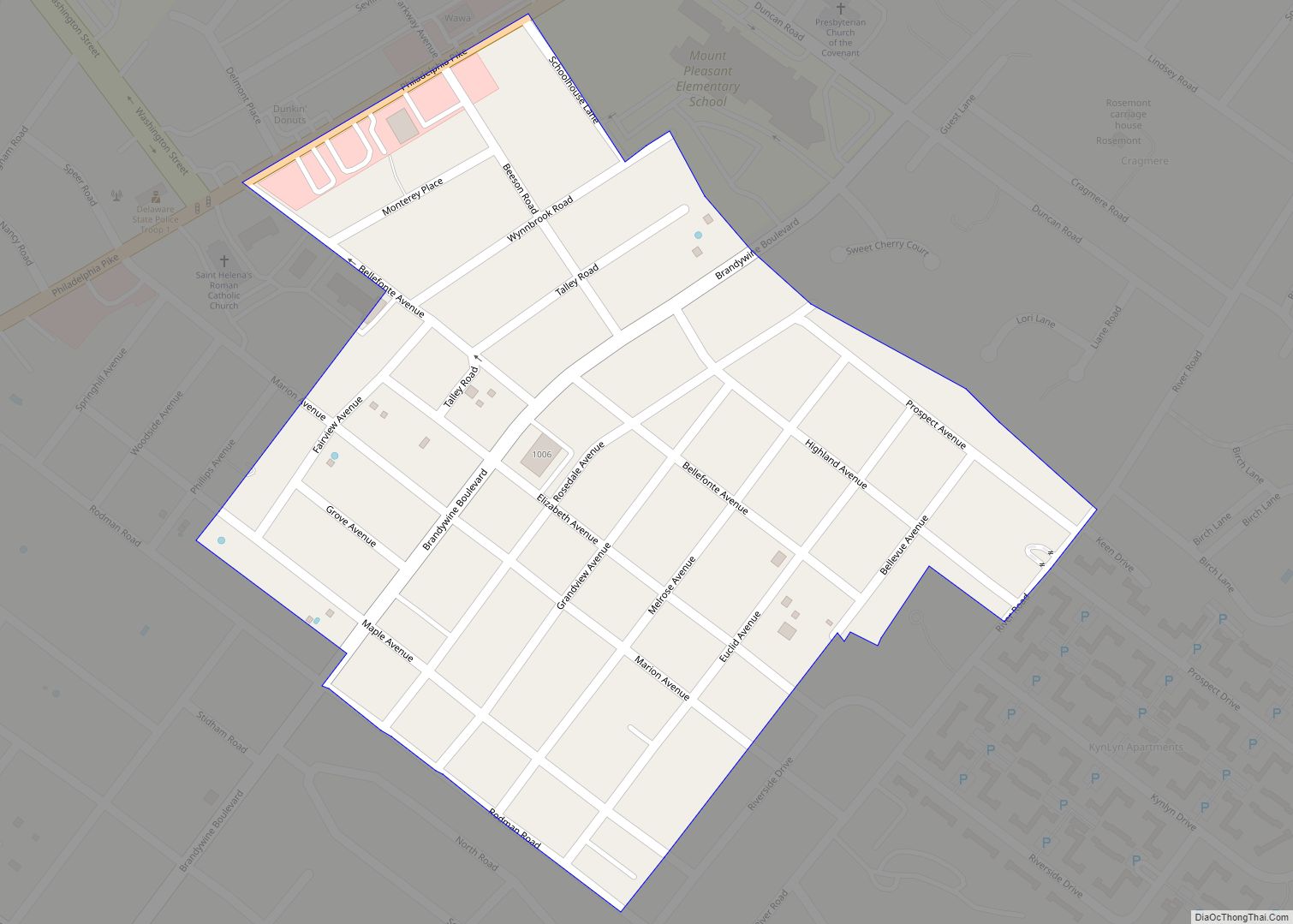
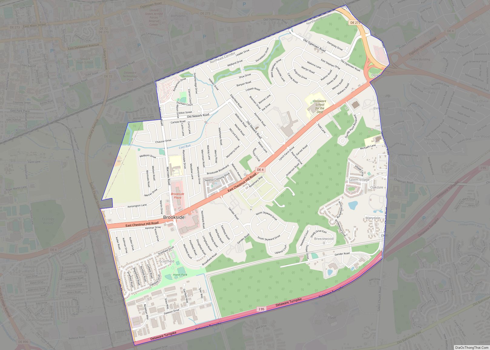
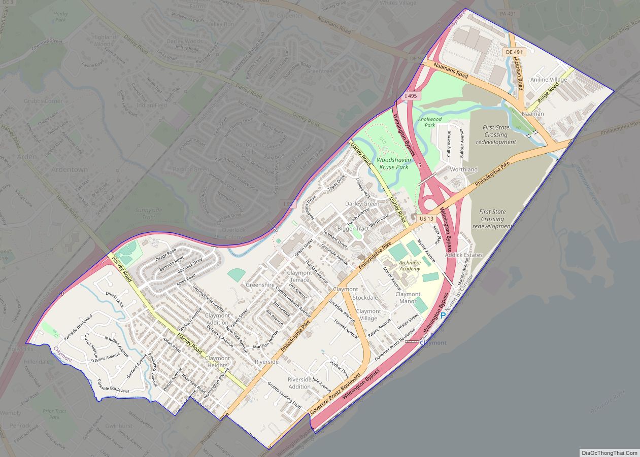
Online Interactive Map
Click on ![]() to view map in "full screen" mode.
to view map in "full screen" mode.
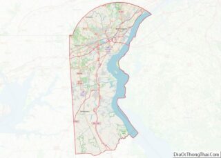
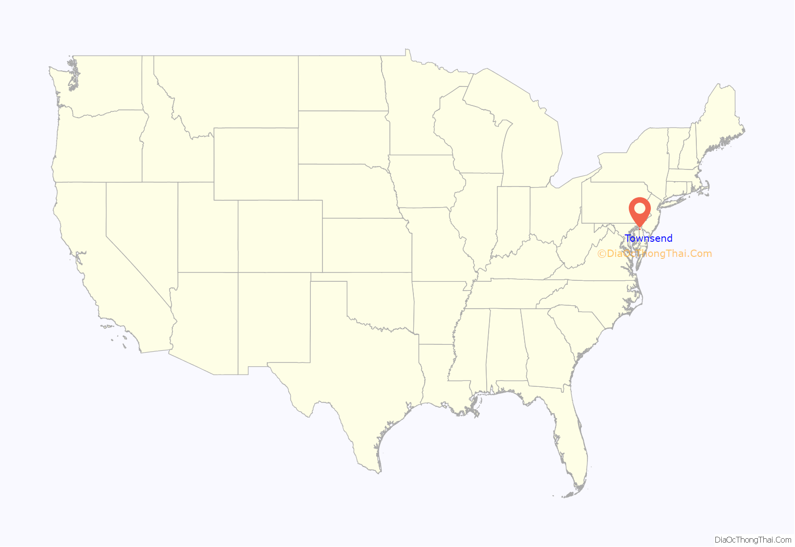
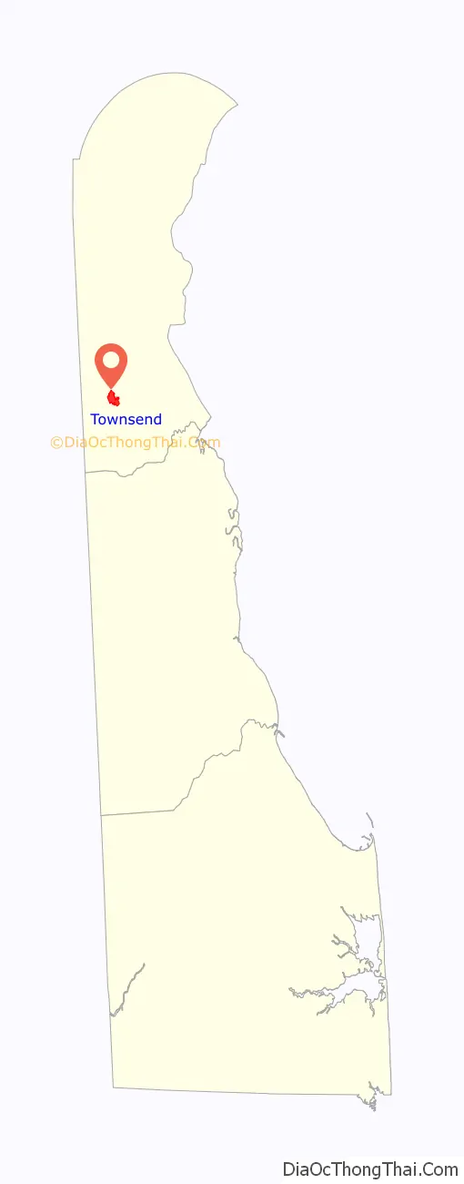
Townsend location map. Where is Townsend town?
History
Townsend was incorporated as a town on April 3, 1885. Its primary business was selling agricultural produce via the Delaware Railroad. The railroad has since lost prominence over freight hauling, but the town still remains primarily agricultural with plenty of rural area and local produce.
The name, Townsend, comes from a prominent businessman and Delaware Democrat, Samuel John Townsend. Prior to 1885, the town was known as Charley Town. Between 1845 and 1855 brothers Samuel and John Townsend purchased several large tracts of farmland in the vicinity. The Delaware Railroad arrived here in 1856, bisecting Samuel Townsend’s property. This led to a period of sustained growth for the town, as the railroad station became the principal shipping point for the area’s agricultural products. In September 1856 the Post Office was established, and the first hotel opened in 1857. Following a healthy debate among the residents, the station was named Townsend, after the area’s major land owners. The peach industry was a vital contributor to the area’s growth and prosperity until disease destroyed many Delmarva orchards in the late 19th century. A free African American community was located here by the mid-19th century.
The town has since created a “Comprehensive Development Plan”, as required by state law February 2003, for land preservation.
The Townsend Historic District, which includes 216 buildings, was listed on the National Register of Historic Places in 1986.
Mayors of the town
Note: List of Mayors is incomplete. Please add cited sources to complete this list.
0000? – 2007 Charles Murry (Town Records)
- 2007(?)-2009 – Dave Raughley
- 2010–2011: John Hanlin
- 2012: Steve High
- 2013: Joel Esler
- 2014-2015: Jermaine Hatton
- 2016-2019: Rudy Sutton
- 2019–2021: Tom McDonald
- 2021-2022: Patrick Miller
- Current: Scott Lobdell, P.E.
Townsend Road Map
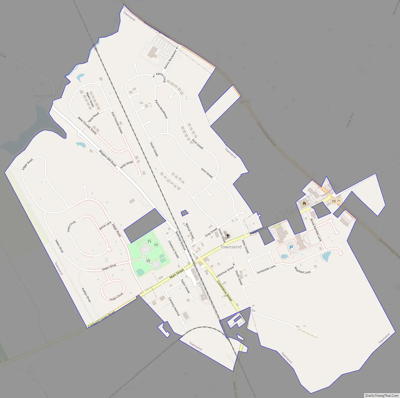
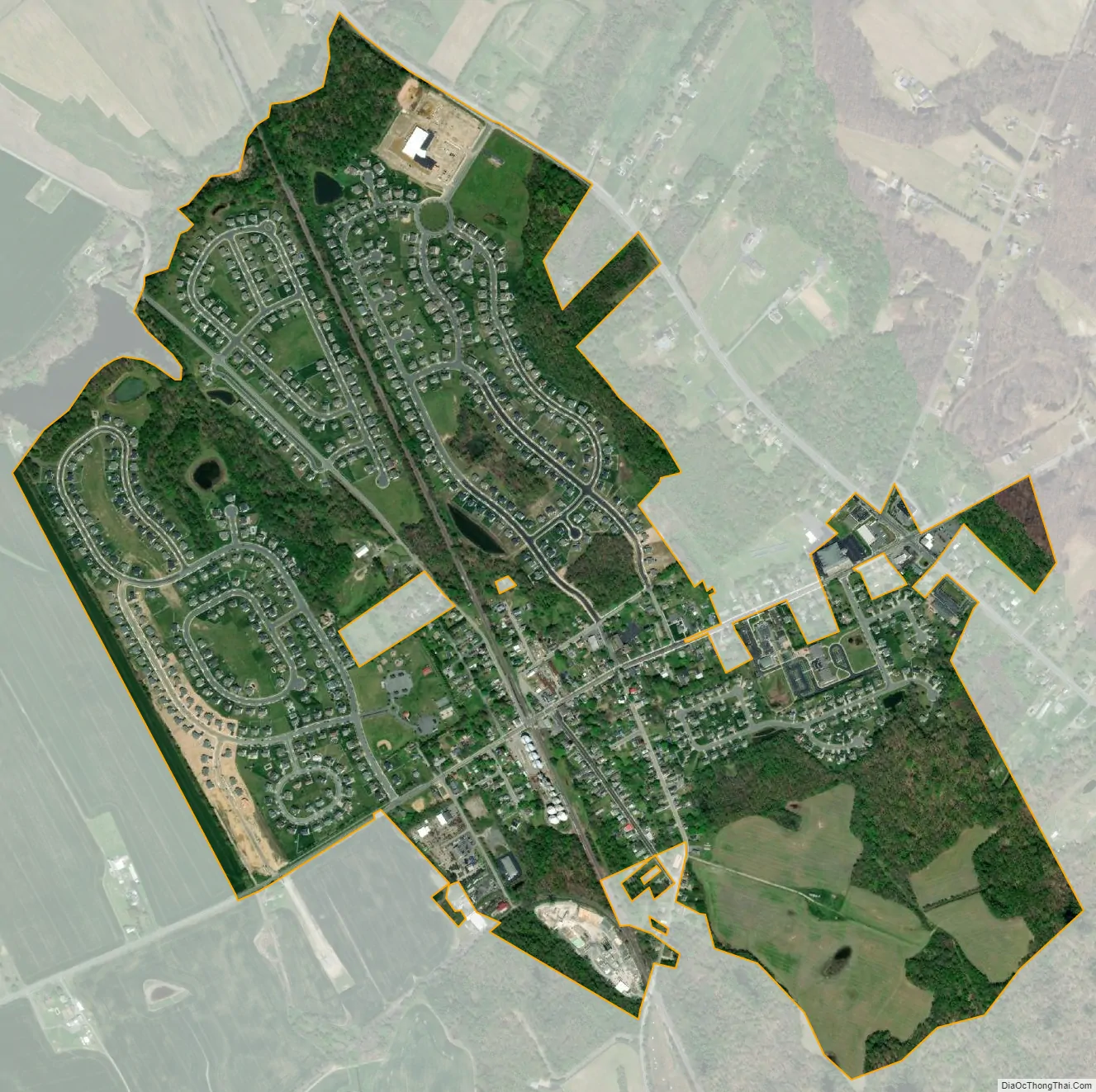
Townsend city Satellite Map
Geography
Townsend is located at 39°23′42″N 75°41′30″W / 39.39500°N 75.69167°W / 39.39500; -75.69167 (39.3951115, –75.6915973).
According to the United States Census Bureau, the town has a total area of 0.6 square miles (1.6 km), all land.
See also
Map of Delaware State and its subdivision: Map of other states:- Alabama
- Alaska
- Arizona
- Arkansas
- California
- Colorado
- Connecticut
- Delaware
- District of Columbia
- Florida
- Georgia
- Hawaii
- Idaho
- Illinois
- Indiana
- Iowa
- Kansas
- Kentucky
- Louisiana
- Maine
- Maryland
- Massachusetts
- Michigan
- Minnesota
- Mississippi
- Missouri
- Montana
- Nebraska
- Nevada
- New Hampshire
- New Jersey
- New Mexico
- New York
- North Carolina
- North Dakota
- Ohio
- Oklahoma
- Oregon
- Pennsylvania
- Rhode Island
- South Carolina
- South Dakota
- Tennessee
- Texas
- Utah
- Vermont
- Virginia
- Washington
- West Virginia
- Wisconsin
- Wyoming